The best walks and hikes around Preuschdorf
4.4
(4855)
19,721
hikers
314
hikes
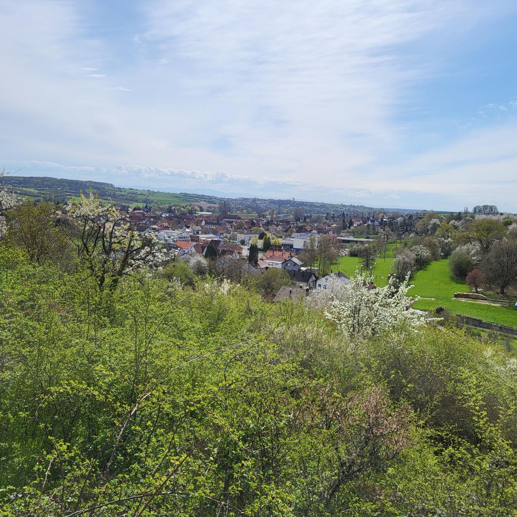
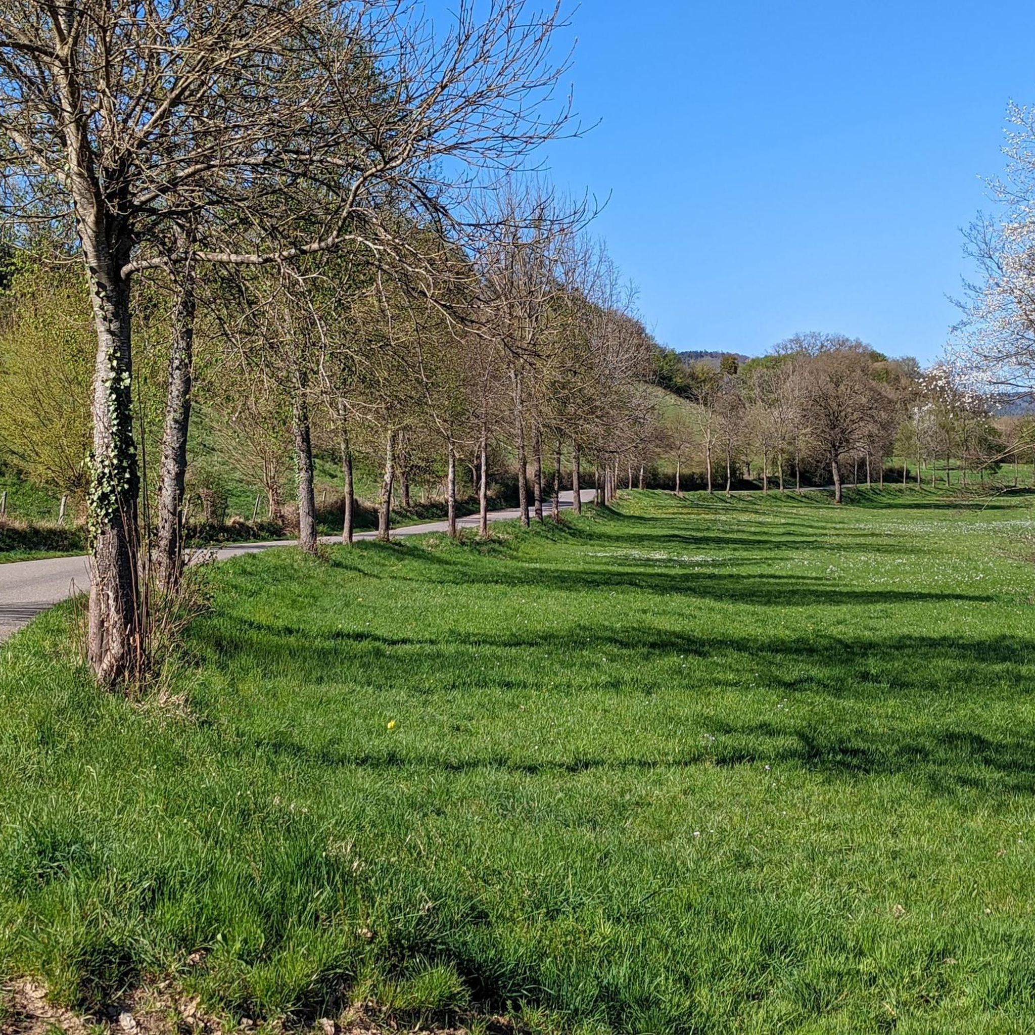
Hiking around Preuschdorf offers access to a landscape characterized by rolling hills, dense woodlands, and agricultural areas. The region features a network of trails that traverse varied terrain, including forested paths and open countryside. Elevations are generally moderate, providing accessible hiking experiences without significant mountain ascents.
Best hiking trails around Preuschdorf
- The most popular hiking route is Marienbronn loop from Lampertsloch, a 3.8 miles (6.1 km) trail that takes 1 hour 42 minutes to complete, winding through local landscapes. …
Last updated: July 9, 2026
4.0
(2)
12
hikers
6.08km
01:42
120m
120m
Easy hike. Great for any fitness level. Easily-accessible paths. Suitable for all skill levels.
4.5
(2)
9
hikers
11.9km
03:19
220m
220m
Moderate hike. Good fitness required. Easily-accessible paths. Suitable for all skill levels.

Sign up for free
5.0
(1)
8
hikers
8.76km
02:33
230m
230m
Moderate hike. Good fitness required. Easily-accessible paths. Suitable for all skill levels.
4.0
(1)
5
hikers
21.1km
05:50
380m
380m
Hard hike. Very good fitness required. Easily-accessible paths. Suitable for all skill levels.
5.0
(1)
5
hikers
23.4km
06:31
420m
420m
Hard hike. Very good fitness required. Easily-accessible paths. Suitable for all skill levels.
Get access to more routes and recommendations from other explorers.
Sign up for free
Already have an account?
Our route recommendations are based on thousands of hikes, rides, and runs completed by other people on komoot.
Start today with a free account
Your next adventure awaits.
Login or Signup

Tips from the Community

The most luxurious "time out" in Alsace 🏰🚫🍷 Chic architecture and great views. The catch? The drinks menu here is extremely one-sided and definitely alcohol-free. A place of recreation for anyone who has taken a wrong turn in life when it comes to "fluid intake". Looking costs nothing, moving in requires a colorful past!
0
0
Schloss Marienbronn: Where water learns to taste again 💧🏰 A wonderful building, but don't be fooled! Anyone who moves in here for a cure has taken the motto "Drinking a lot is important" a bit too seriously – unfortunately, with the wrong drinks. Here, you are retrained from "king of the promille" back to "water fan". A great sight for hikers, as long as you just walk by!
0
0

Historical oil exploration drilling rig from 1813. With such rigs, 5000 documented test drillings were carried out in Alsace.
0
0


The benches in Alsace are public benches that were installed in Alsace in two phases during the 19th century. Most of the benches still in existence today are protected as cultural monuments (Monuments historiques). There are two types of benches in Alsace: - those built in 1811/12, named after the King of Rome - those built in 1854, named after Empress Eugénie Source: Wikipedia
1
0
The former Marienbronn nunnery was destroyed during the French Revolution. Today, the site houses a rehabilitation facility for addiction.
1
0

superb corner, maintained with care and passion by the Vosges club!
0
0

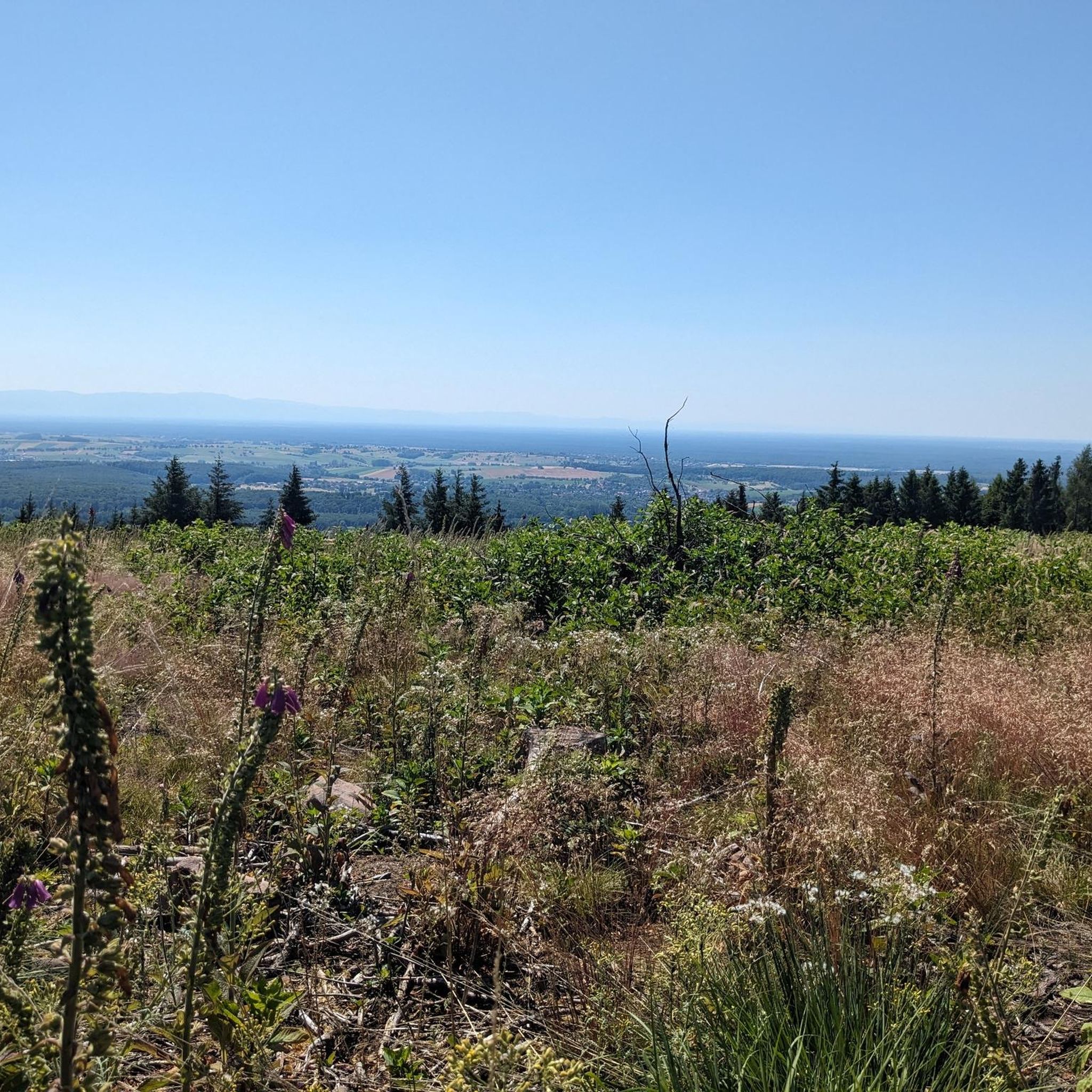
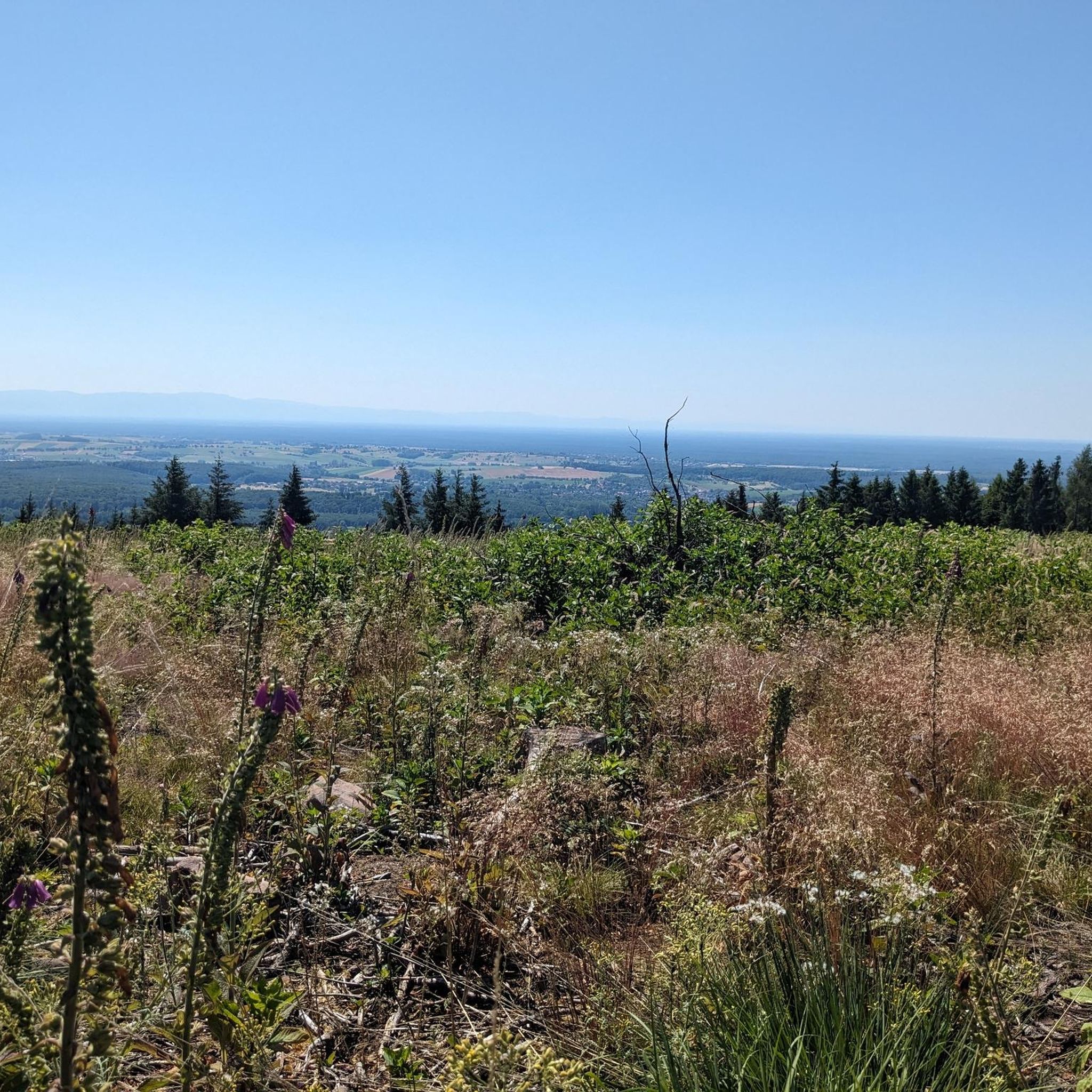
When the weather is clear, the panorama is sure to be breathtaking.
0
1
Frequently Asked Questions
How many hiking trails are available around Preuschdorf?
There are over 300 hiking routes around Preuschdorf, offering a wide range of options for different skill levels and preferences. You'll find everything from easy strolls to more challenging day hikes.
Are there any easy hikes suitable for beginners or families in Preuschdorf?
Yes, Preuschdorf offers over 100 easy hiking routes. A great option for a relaxed walk is the Marienbronn loop from Lampertsloch, which is 3.8 miles (6.1 km) long and takes about 1 hour 42 minutes to complete.
What kind of terrain can I expect on hikes in the Preuschdorf region?
The hiking trails around Preuschdorf traverse a varied landscape of rolling hills, dense woodlands, and agricultural areas. You'll encounter forested paths and open countryside, with generally moderate elevations that make for accessible hiking experiences.
Are there any circular walks or loop trails in Preuschdorf?
Yes, many trails in the region are circular. For example, the Marienbronn – Preuschdorf – Sauplatz loop from Preuschdorf is a moderate 7.4-mile (11.9 km) path that brings you back to your starting point. Another popular loop is the Wliep Pass – Soultzerkopf Hut loop from Lampertsloch.
What are some interesting landmarks or attractions to see while hiking near Preuschdorf?
The region is rich in historical sites. You can explore impressive ruins like Fleckenstein Castle, Frœnsbourg Castle, or Old Windstein Castle. Many trails also lead past charming huts and inns, such as the Scherhol Refuge or the Ferme Mellon, perfect for a break.
Are there any challenging or difficult hikes for experienced trekkers?
Yes, for those seeking a greater challenge, there are 27 difficult routes available. An example is the Wliep Pass – Soultzerkopf Hut loop from Merkwiller-Pechelbronn, which covers over 13 miles (21 km) with significant elevation changes.
What do other hikers say about the trails in Preuschdorf?
The komoot community highly rates the trails around Preuschdorf, with an average score of 4.4 stars from over 4,000 reviews. Hikers often praise the well-maintained paths, the peaceful forested sections, and the diverse scenery that includes both woodlands and open fields.
Are there any places to eat or rest along the hiking routes?
Yes, some routes pass by traditional huts or inns where you can stop for refreshments. For instance, the Wliep Pass – Soultzerkopf Hut loop from Lampertsloch provides access to a mountain hut. You can also find places like the Farmhouse Inn of the Mill of Seven Springs or Auberge du Windstein in the wider area.
What is the best time of year to go hiking in Preuschdorf?
The region's varied landscape makes it enjoyable for hiking throughout much of the year. Spring and autumn offer pleasant temperatures and beautiful scenery with blooming flowers or vibrant fall foliage. Summer is also popular, especially in the shaded forest areas, while winter can offer serene, snow-dusted trails, though some services might be limited.
Are the hiking trails in Preuschdorf suitable for dogs?
Generally, the natural trails through woodlands and open fields around Preuschdorf are suitable for dogs. However, it's always recommended to keep your dog on a leash, especially in agricultural areas or near wildlife, and to check local regulations for specific trails or protected areas.
Where can I find parking for hiking trails near Preuschdorf?
Many trailheads in and around Preuschdorf, as well as in nearby villages like Lampertsloch or Merkwiller-Pechelbronn, offer designated parking areas for hikers. Specific parking information is often available on individual route pages on komoot.
What should I wear for hiking in Preuschdorf?
Given the varied terrain and potential for changing weather, it's advisable to wear comfortable, layered clothing suitable for outdoor activity. Sturdy hiking shoes with good grip are recommended, especially for trails that involve forest paths or moderate ascents. Always check the weather forecast before heading out.
Most popular routes around Preuschdorf
Most popular attractions around Preuschdorf

Get inspired with the komoot mobile app


Explore more
Browse the best Hikes in other regions.
