The best walks and hikes around Arpavon
4.5
(1268)
6,911
hikers
219
hikes
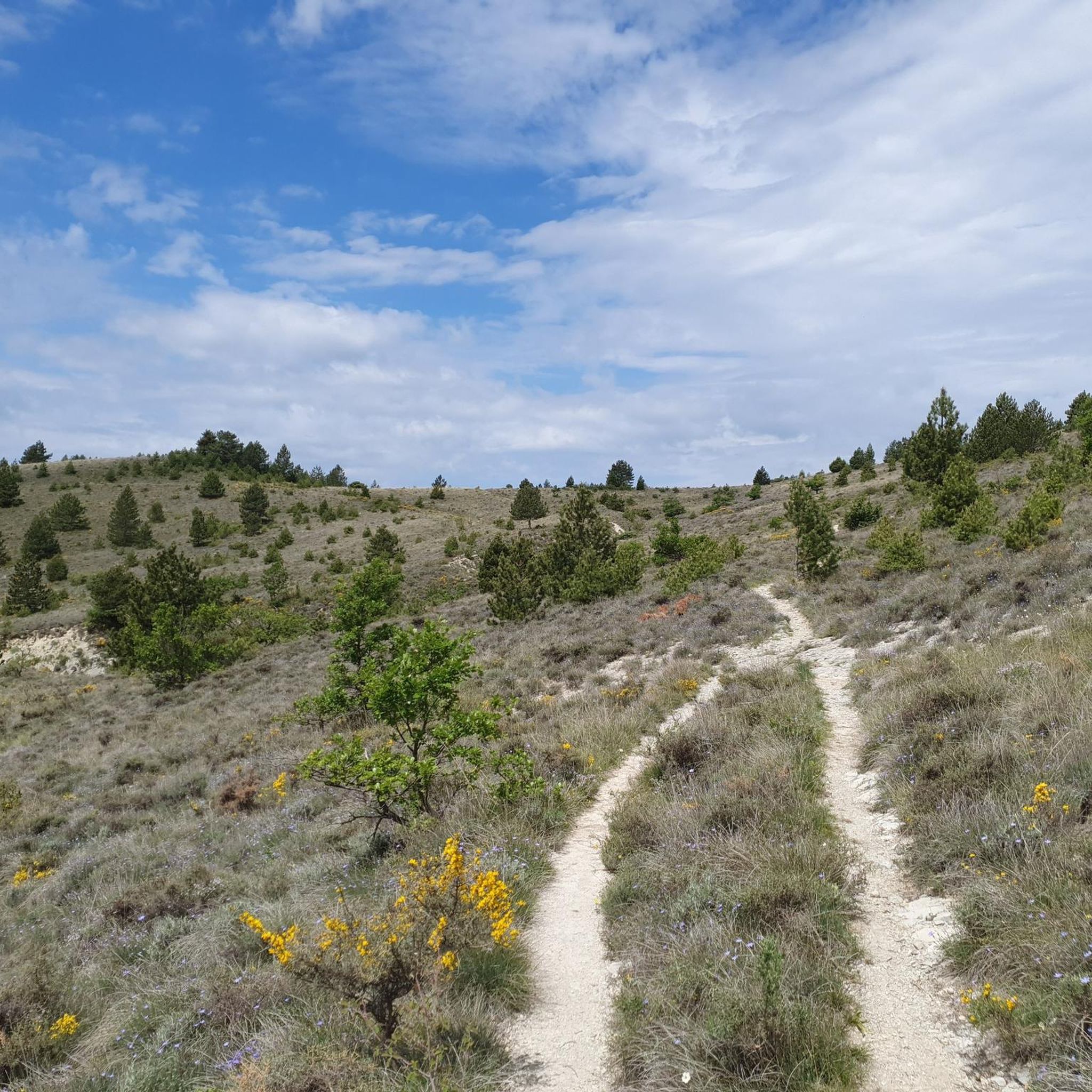
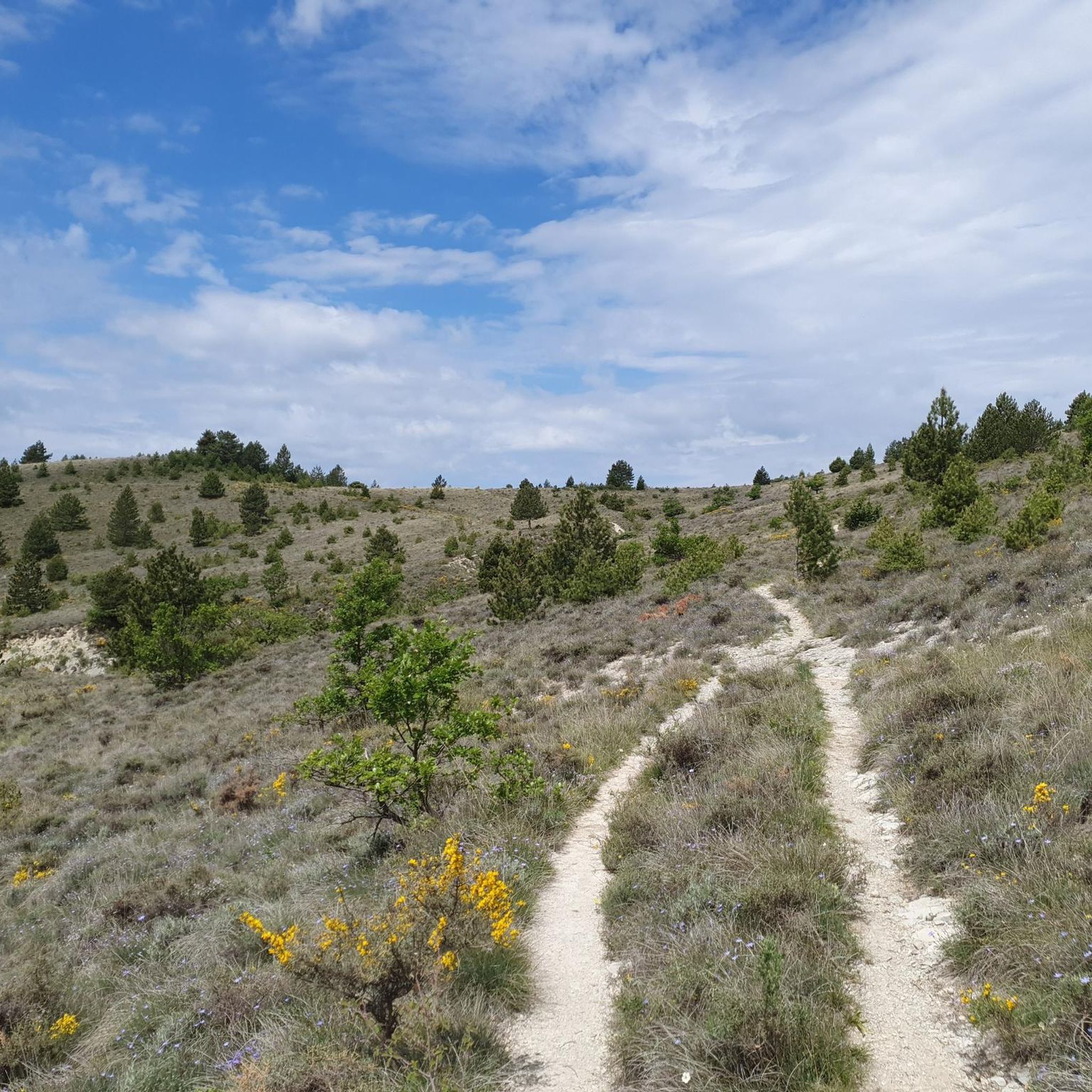
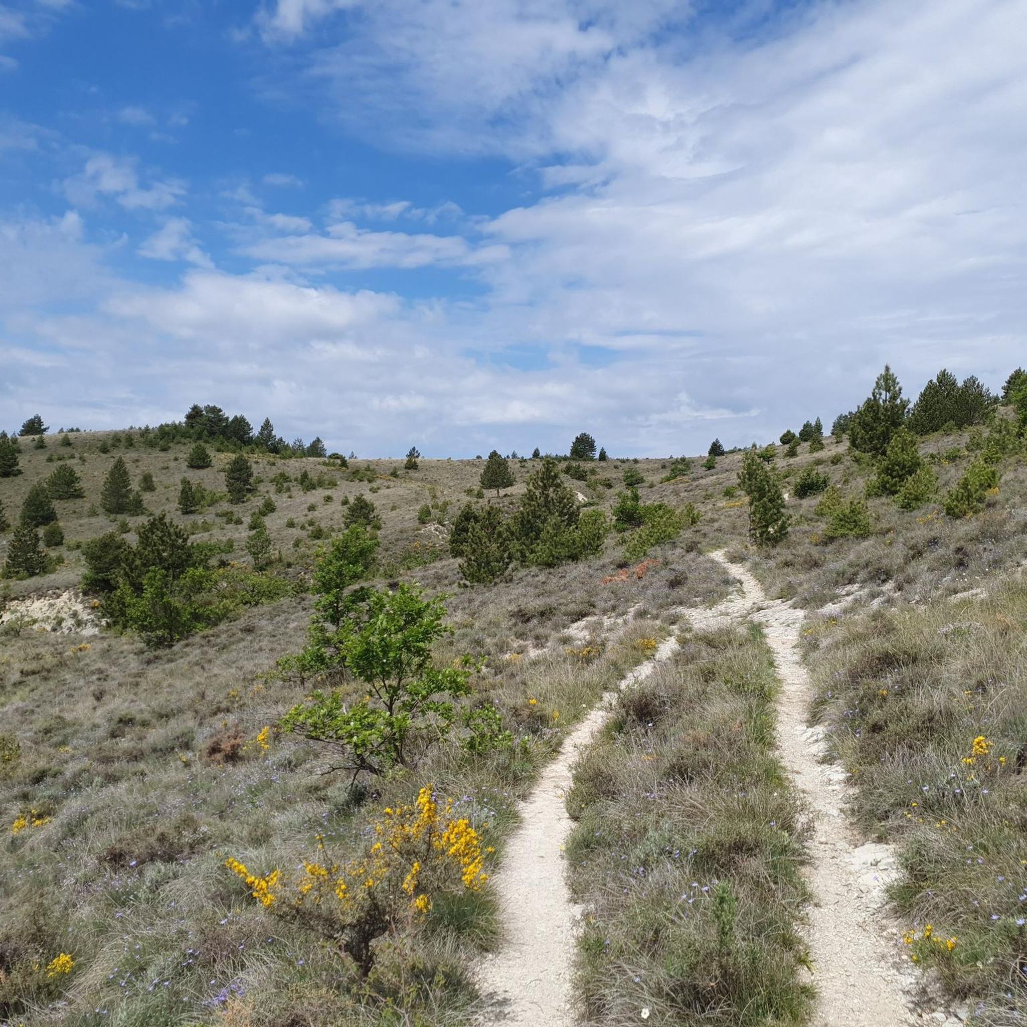
Hiking around Arpavon offers diverse terrain within the Drôme department of southeastern France. The region is characterized by elevations ranging from 1,119 to 3,953 feet (341 to 1,205 meters), featuring mountain passes, valleys, and various peaks. The Ennuye river and several ravines add to the natural landscape, all situated within the Regional Natural Park of Baronnies Provençales.
Best hiking trails around Arpavon
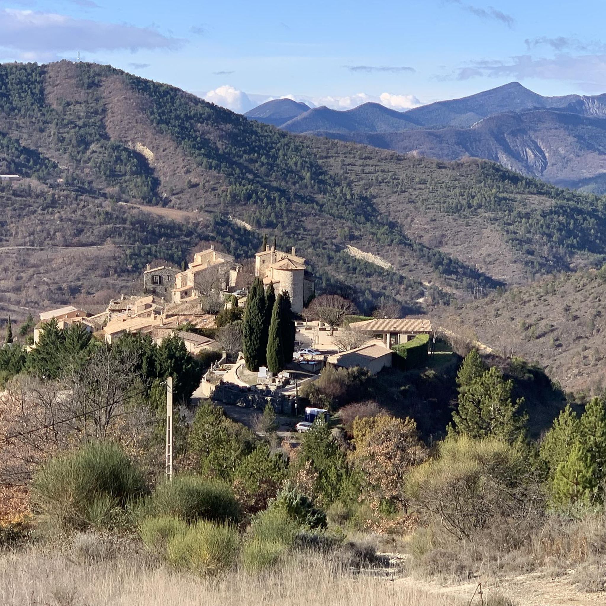
- The most popular hiking route is Viewpoint Le Poët-Sigillat – View of Arpavon loop from Le Poët-Sigillat, a 7.6 miles (12.3 km) trail that takes 3 hours 43 minutes to complete. This route offers views of the historic village of Arpavon.
- Another top favourite among local hikers is View of Arpavon – Viewpoint Le Poët-Sigillat loop from Arpavon, a moderate 6.9 miles (11.0 km) path. This trail also provides perspectives of Arpavon and the surrounding landscape.
- Local hikers also love the Sainte-Jalle – Rolland Farm loop from Sainte-Jalle, a 5.4 miles (8.8 km) trail leading through the countryside around Sainte-Jalle, often completed in about 2 hours 47 minutes.
- Hiking around Arpavon is defined by varied elevations, mountain passes, and picturesque valleys. The network offers options for easy, moderate, and difficult ability levels.
- The routes in Arpavon are highly rated by the komoot community with an average score of 4.5 stars from over 1,200 reviews. More than 6,700 hikers have used komoot to explore Arpavon's varied terrain.
Last updated: May 12, 2026
4.9
(23)
93
hikers
12.4km
03:45
340m
340m
Moderate hike. Good fitness required. Mostly accessible paths. Sure-footedness required.
4.9
(24)
91
hikers
11.0km
03:25
330m
330m
Moderate hike. Good fitness required. Mostly accessible paths. Sure-footedness required.

Sign up for free
4.2
(5)
36
hikers
8.75km
02:47
300m
300m
Moderate hike. Good fitness required. Mostly accessible paths. Sure-footedness required.
4.3
(4)
14
hikers
10.9km
03:21
390m
390m
Moderate hike. Good fitness required. Easily-accessible paths. Suitable for all skill levels.
4.4
(5)
17
hikers
13.6km
04:18
530m
530m
Moderate hike. Good fitness required. Easily-accessible paths. Suitable for all skill levels.
Get access to more routes and recommendations from other explorers.
Sign up for free
Already have an account?
Our route recommendations are based on thousands of hikes, rides, and runs completed by other people on komoot.
Start today with a free account
Your next adventure awaits.
Login or Signup
Tips from the Community

splendid view over the surroundings and particularly over the Ennuyé valley
0
0
Nice bar while crossing the village, watch out for the speed bump
0
0

The small, picturesque village of Sainte-Jalle welcomes visitors coming from the Col d'Ey with this pretty avenue of plane trees. A lovely, shady place to linger. There are 2 restaurants, a small supermarket and a campsite, as well as a chateau and a pretty little old town.
0
1
Old graves. An atmospheric, melancholic place.
1
0

..a beautiful mountain that guarantees a "solitary climb" by bike, especially from Remuzat on weekdays! ..the beautiful view is free!
1
0
There is drinking water at the washhouse in the village in front of the church. NOTE: The small fountain just before the village sign is not a drinking water fountain.
2
0

From the trail, enjoy a breathtaking view of the fortified medieval village of Arpavon. It formerly served as a defensive rampart and belonged to the barons of Mévouillon.
0
0
Frequently Asked Questions
How many hiking trails are available around Arpavon?
There are over 220 hiking routes available around Arpavon, offering a wide range of options for different skill levels and preferences. You'll find everything from easy strolls to more challenging mountain ascents.
What kind of terrain can I expect on hikes near Arpavon?
The terrain around Arpavon is quite varied, ranging from 341 to 1,205 meters (1,119 to 3,953 ft) in elevation. You can expect to encounter mountain passes (cols), picturesque valleys (combes), various peaks like L'Aiguillette and Rocher Roux, and routes alongside the Ennuye river and its ravines. The landscape is often described as 'tormented' due to its distinctive features.
What do other hikers say about the trails in Arpavon?
The hiking routes around Arpavon are highly regarded by the komoot community, with an average rating of 4.5 stars from over 1,200 reviews. Hikers often praise the varied elevations, stunning views of the medieval village, and the diverse natural features found within the Regional Natural Park of Baronnies Provençales.
Are there hiking options for beginners or those looking for an easy walk?
Yes, Arpavon offers a good selection of easier trails. Approximately 56 of the routes are classified as easy, making them suitable for beginners, families, or those seeking a less strenuous outdoor experience. These typically involve less elevation gain and shorter distances.
What are some notable natural features or viewpoints to look out for on the trails?
The region is rich in natural features and viewpoints. You might encounter mountain passes like Col de Sierry or Col d'Ey, which offers a sublime view of Mont Ventoux. Other notable spots include the dramatic Gorges de Trente-Pas, the unique Le Trou de Souris Rock Arch, or the panoramic Rocher du Caire.
Are there any circular hiking routes around Arpavon?
Yes, many of the trails around Arpavon are circular, allowing you to start and end at the same point. For example, the Viewpoint Le Poët-Sigillat – View of Arpavon loop from Le Poët-Sigillat is a popular moderate circular route offering views of the historic village.
Can I bring my dog on the hiking trails in Arpavon?
Arpavon is located within the Regional Natural Park of Baronnies Provençales. While many trails in natural parks are dog-friendly, it's always advisable to check specific regulations for each route or the park authority regarding dogs, especially concerning leash requirements and protected areas. Generally, dogs are welcome if kept under control.
Are there family-friendly hiking options near Arpavon?
Yes, with over 50 easy trails, there are plenty of family-friendly hiking options around Arpavon. These routes are typically shorter and have less challenging elevation changes, making them suitable for children and those looking for a relaxed outing. Look for trails marked as 'easy' on komoot.
What is the best time of year to go hiking in Arpavon?
The region around Arpavon, being in southeastern France, generally offers pleasant hiking conditions from spring through autumn. Spring brings wildflowers, and autumn provides beautiful foliage. Summer can be warm, so early morning or late afternoon hikes are recommended. Winter hikes are possible but may require appropriate gear, especially at higher elevations.
Where can I park when hiking around Arpavon?
While specific parking details vary by trailhead, Arpavon itself is a small village. You can typically find public parking areas within or near the village center, which serve as convenient starting points for many local hikes. For routes starting from other nearby villages, parking is usually available in those locations as well.
Are there any gorges or canyons I can explore while hiking?
Yes, the area features several impressive gorges. You can explore the dramatic Gorges de Trente-Pas or the picturesque Ubrieux Gorge. These offer unique landscapes and often include trails that follow the riverbeds or offer views from above.
What is the typical duration and elevation gain for moderate hikes in the area?
Moderate hikes around Arpavon often range from 2 to 5 hours in duration and can involve elevation gains of up to 3,000 feet (approximately 900 meters). For example, the View of Arpavon – Viewpoint Le Poët-Sigillat loop from Arpavon is a moderate 6.9-mile (11.0 km) path with around 334 meters of elevation gain, typically taking over 3 hours.
Most popular attractions around Arpavon

Get inspired with the komoot mobile app


Explore more
Browse the best Hikes in other regions.
