The best walks and hikes around Saint-Étienne-De-Mer-Morte
4.6
(88)
528
hikers
81
hikes
Hiking around Saint-Étienne-De-Mer-Morte offers a network of trails through varied landscapes. The region is characterized by generally flat terrain, with routes often traversing woodlands, agricultural areas, and paths alongside local waterways. Elevation gains are typically low, making many routes accessible for a wide range of hikers.
Best hiking trails around Saint-Étienne-De-Mer-Morte
- The most popular hiking route is Forêt de Machecoul — loop from Saint-Même-le-Tenu, a 6.4 miles (10.3 km) trail that takes 2 hours 38 minutes to complete. This moderate route explores the dense woodlands of the Forêt de Machecoul.
- Another top favourite among local hikers is Abbaye Notre-Dame de la Chaume — loop from Machecoul, a moderate 5.2 miles (8.4 km) path. This trail offers views of the historic abbey and surrounding countryside.
- Local hikers also love the Viewpoint - Petite île loop from Machecoul-Saint-Même, a 5.2 miles (8.4 km) trail leading through local landscapes, often completed in about 2 hours 9 minutes.
- Hiking around Saint-Étienne-De-Mer-Morte is defined by woodlands, agricultural fields, and gentle river paths. The network offers options for different ability levels, including easy hikes Saint-Étienne-De-Mer-Morte and moderate trails.
- The routes in Saint-Étienne-De-Mer-Morte are highly rated by the komoot community with an average score of 4.4 stars from over 70 reviews. More than 400 hikers have used komoot to explore Saint-Étienne-De-Mer-Morte's varied terrain.
Last updated: July 5, 2026
4.2
(6)
35
hikers
10.3km
02:38
50m
50m
Moderate hike. Good fitness required. Easily-accessible paths. Suitable for all skill levels.
4.5
(4)
15
hikers
8.42km
02:08
10m
10m
Moderate hike. Good fitness required. Easily-accessible paths. Suitable for all skill levels.

Sign up for free
5.0
(2)
21
hikers
8.41km
02:09
30m
30m
Moderate hike. Good fitness required. Easily-accessible paths. Suitable for all skill levels.
4.7
(3)
5
hikers
13.7km
03:31
60m
60m
Moderate hike. Good fitness required. Easily-accessible paths. Suitable for all skill levels.
9
hikers
22.9km
05:49
60m
60m
Hard hike. Very good fitness required. Easily-accessible paths. Suitable for all skill levels.
Get access to more routes and recommendations from other explorers.
Sign up for free
Already have an account?
Our route recommendations are based on thousands of hikes, rides, and runs completed by other people on komoot.
Start today with a free account
Your next adventure awaits.
Login or Signup


Tips from the Community

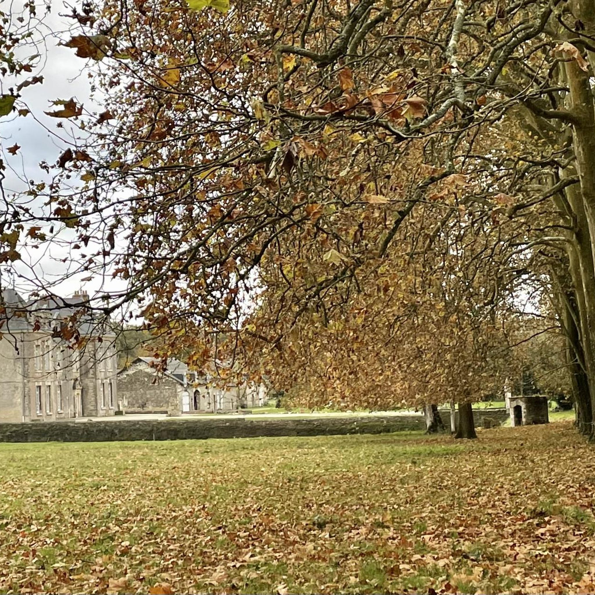
The construction of this abbey began in 1055. Notre-Dame de la Chaume abbey is the main Benedictine settlement in Machecoul. The monastery ceased to exist in 1767. The two oculi (the only remains of the abbey) of the wall lit the chapter house and opened directly onto the abbot's garden. The dovecote located in the center of the Chaume estate is the symbol of the abbey. More information on the history: https://fr.wikipedia.org/wiki/Abbaye_Notre-Dame_de_la_Chaume
0
0

The history of Notre-Dame de la Chaume Abbey dates back to the year 1000. It was in 1802 that the former owner authorized the demolition of the abbey in order to recover the stone to build another church. One can only imagine the grandeur of the abbey in front of this magnificent dovecote.
2
0
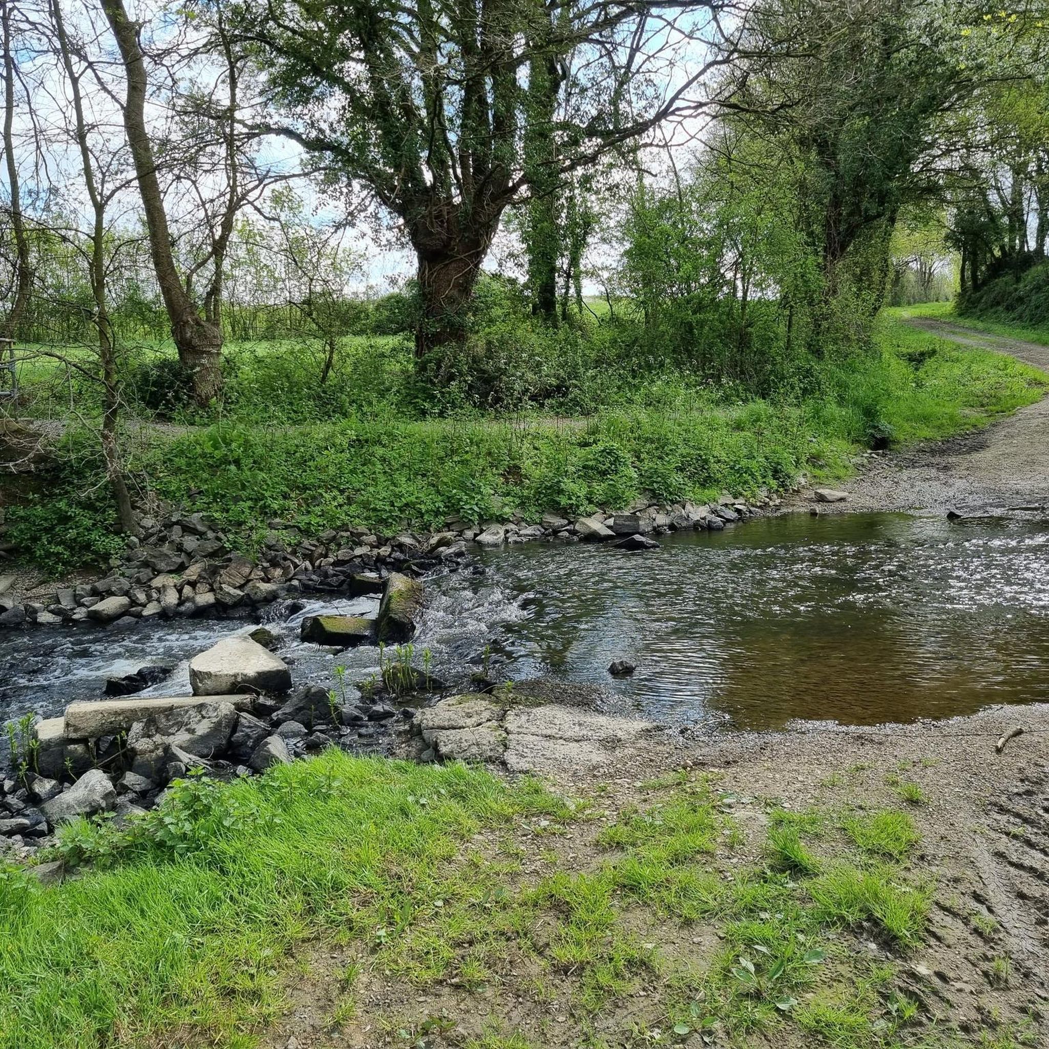
Among the hedges and the oaks, you may be able to observe nesting birds of prey, rare in the Pays de la Loire. This small forest is pleasant to walk through - the trail is open from May to October.
3
0

Built from the 13th century by the lords of Retz, the castle of Machecoul was one of the main fortresses of the Marches de Bretagne, a region which went from Pornic to Clisson and Tiffauges via the Breton marshes. These strongholds were notably held by the famous Gilles de Rais, companion of Joan of Arc who inspired the myth of Bluebeard. The building is now very much in ruins: only the exterior walls of the keep and a section of interior wall remain, visible from the road, because it is located in the heart of a private domain and only accessible via a guided tour.
0
1

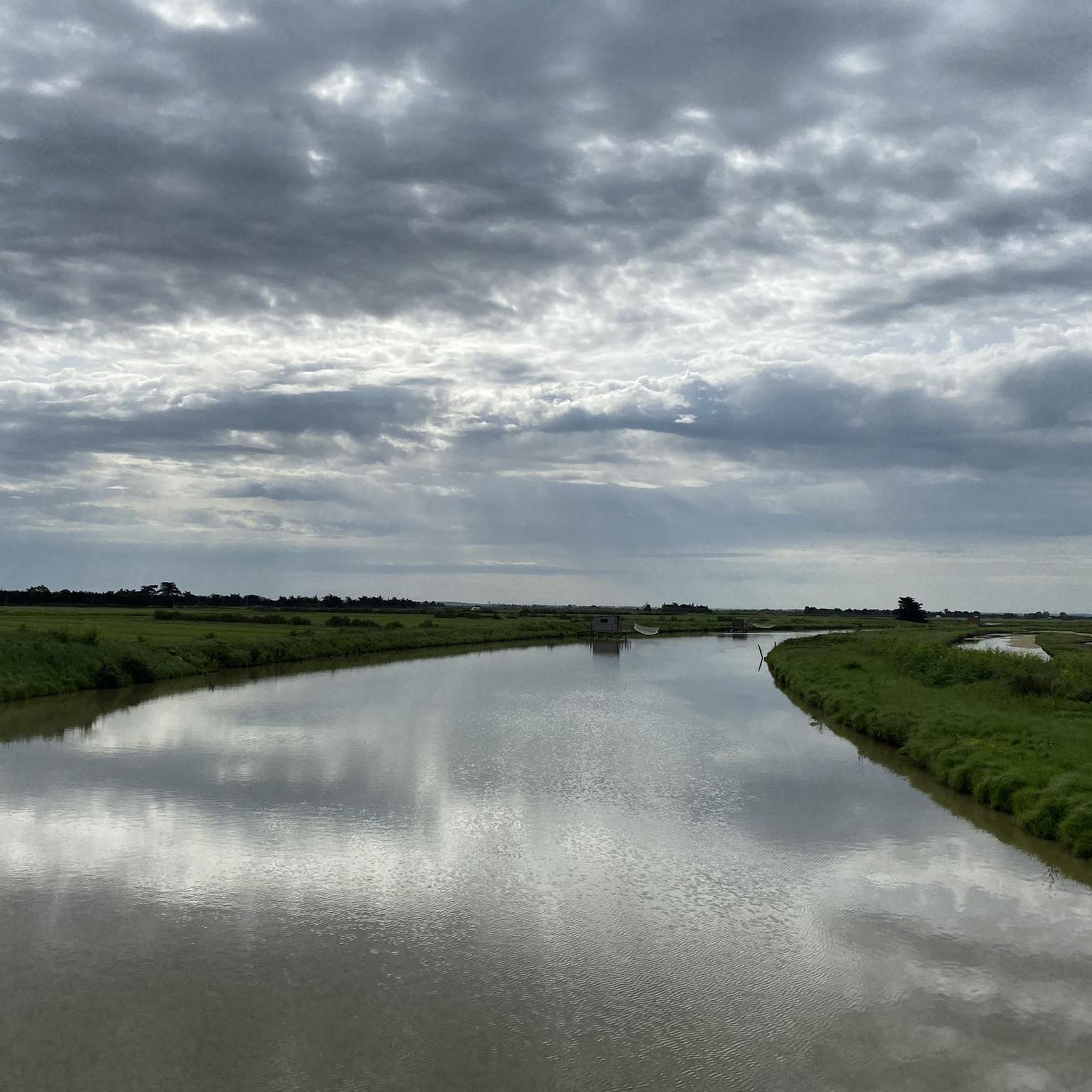
Small island in the Machecoul lake, accessible only at "low tide"
0
0
Frequently Asked Questions
How many hiking trails are available around Saint-Étienne-De-Mer-Morte?
There are over 60 hiking routes available in the Saint-Étienne-De-Mer-Morte area, offering a variety of options for different skill levels.
Are there easy hiking trails suitable for beginners or families?
Yes, the region is well-suited for beginners and families, with 30 easy routes. Many trails feature generally flat terrain through woodlands and agricultural areas. A good option for a gentle walk is the Abbaye Notre-Dame de la Chaume — loop from Machecoul, which is moderate but has minimal elevation gain.
What is the typical length and duration of hikes in Saint-Étienne-De-Mer-Morte?
Hikes in Saint-Étienne-De-Mer-Morte vary in length, but many popular routes are between 5 to 10 miles (8 to 16 km), typically taking 2 to 4 hours to complete. For example, the Forêt de Machecoul — loop from Saint-Même-le-Tenu is 6.4 miles (10.3 km) and takes about 2 hours 38 minutes.
Are there any circular hiking routes in the area?
Yes, many of the trails around Saint-Étienne-De-Mer-Morte are circular, allowing you to start and end at the same point. Examples include the Viewpoint - Petite île loop from Machecoul-Saint-Même and the Forêt de Machecoul — loop from Saint-Même-le-Tenu.
What kind of landscapes can I expect to see while hiking here?
The hiking trails in Saint-Étienne-De-Mer-Morte primarily traverse woodlands, agricultural fields, and gentle paths alongside local waterways. The terrain is generally flat, offering pleasant views of the rural French countryside.
What attractions or landmarks can I see near the hiking trails?
While hiking, you can explore several historical and natural attractions. Notable sites include the historic Saint-Philibert-de-Grand-Lieu Abbey Church, the impressive Château de Machecoul, and the tranquil Saint-Philbert-de-Grand-Lieu Lake. The Machecoul Forest itself is a significant natural highlight.
Is Saint-Étienne-De-Mer-Morte suitable for dog-friendly walks?
Yes, many trails in the Saint-Étienne-De-Mer-Morte area are suitable for walks with dogs. Given the rural and woodland nature of the paths, it's generally a good environment for canine companions, though always keep them on a leash and clean up after them.
What do other hikers enjoy most about hiking in Saint-Étienne-De-Mer-Morte?
The area is highly rated by the komoot community, with an average score of 4.4 stars from over 70 reviews. Reviewers often praise the quiet woodlands, the well-maintained paths, and the peaceful rural atmosphere that makes for a relaxing hiking experience.
Are there any longer or more challenging hikes for experienced hikers?
While most routes are easy to moderate, there are a few longer options. For a more extended journey, consider the Legé leisure centre parking loop from La Rambaudière, which covers over 11 miles (18 km) and offers a longer exploration of the local landscape.
When is the best time of year to go hiking in Saint-Étienne-De-Mer-Morte?
The best time to hike in Saint-Étienne-De-Mer-Morte is typically during spring (April to June) and autumn (September to October) when the weather is mild and pleasant. Summer can also be enjoyable, but it's advisable to start early to avoid the midday heat. Winter hikes are possible, but some paths might be muddy.
Are there any trails that pass by water features or potential swimming spots?
While the region features paths alongside local waterways, specific designated wild swimming spots are not commonly highlighted directly on the hiking trails. However, the Saint-Philbert-de-Grand-Lieu Lake is a significant water body in the vicinity that offers recreational opportunities.
Where can I find parking for hiking trails in Saint-Étienne-De-Mer-Morte?
Parking is generally available at the starting points of many popular trails, often near villages or designated leisure areas. For instance, the Legé leisure centre parking loop from La Rambaudière explicitly mentions parking availability at a leisure center, indicating common facilities in the area.
Most popular routes around Saint-Étienne-De-Mer-Morte
Most popular attractions around Saint-Étienne-De-Mer-Morte

Get inspired with the komoot mobile app


Explore more
Browse the best Hikes in other regions.
