The best road cycling routes around Copponex
4.5
(469)
7,559
riders
129
rides
Road cycling around Copponex is characterized by a landscape of rolling hills, picturesque valleys, and the proximity to Lake Dronières. The region features a network of roads that wind through rural areas, offering varied terrain for road cyclists. Elevation gains on routes typically range from moderate to significant, providing opportunities for both steady climbs and scenic descents. The area's geography, situated in Haute-Savoie, presents a mix of open countryside and views towards distant peaks.
Best road cycling routes around Copponex
…Last updated: July 5, 2026
4.6
(7)
199
riders
35.0km
01:38
450m
450m
Moderate road ride. Good fitness required. Mostly well-paved surfaces and easy to ride.
3.0
(1)
59
riders
54.1km
02:45
860m
860m
Moderate road ride. Good fitness required. Mostly well-paved surfaces and easy to ride.

Sign up for free
5.0
(1)
44
riders
33.4km
01:38
490m
490m
Moderate road ride. Good fitness required. Mostly well-paved surfaces and easy to ride.
5.0
(1)
48
riders
26.8km
01:14
320m
320m
Moderate road ride. Good fitness required. Mostly well-paved surfaces and easy to ride.
5.0
(2)
39
riders
50.9km
02:49
950m
950m
Hard road ride. Very good fitness required. Mostly well-paved surfaces and easy to ride.
Get access to more routes and recommendations from other explorers.
Sign up for free
Already have an account?
Our route recommendations are based on thousands of hikes, rides, and runs completed by other people on komoot.
Start today with a free account
Your next adventure awaits.
Login or Signup
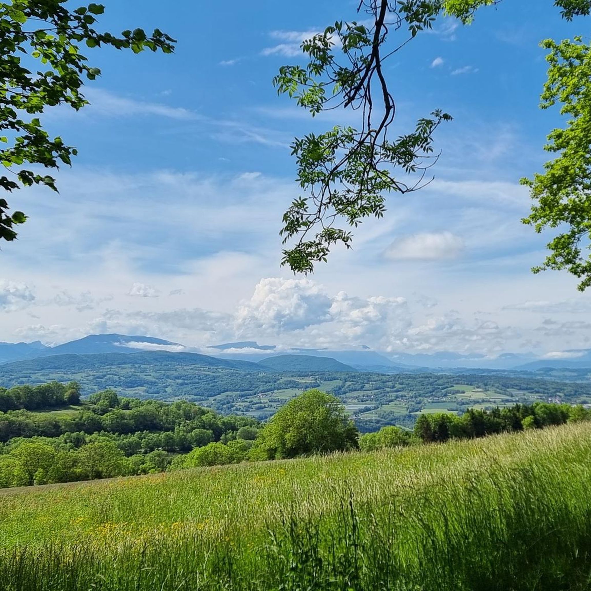
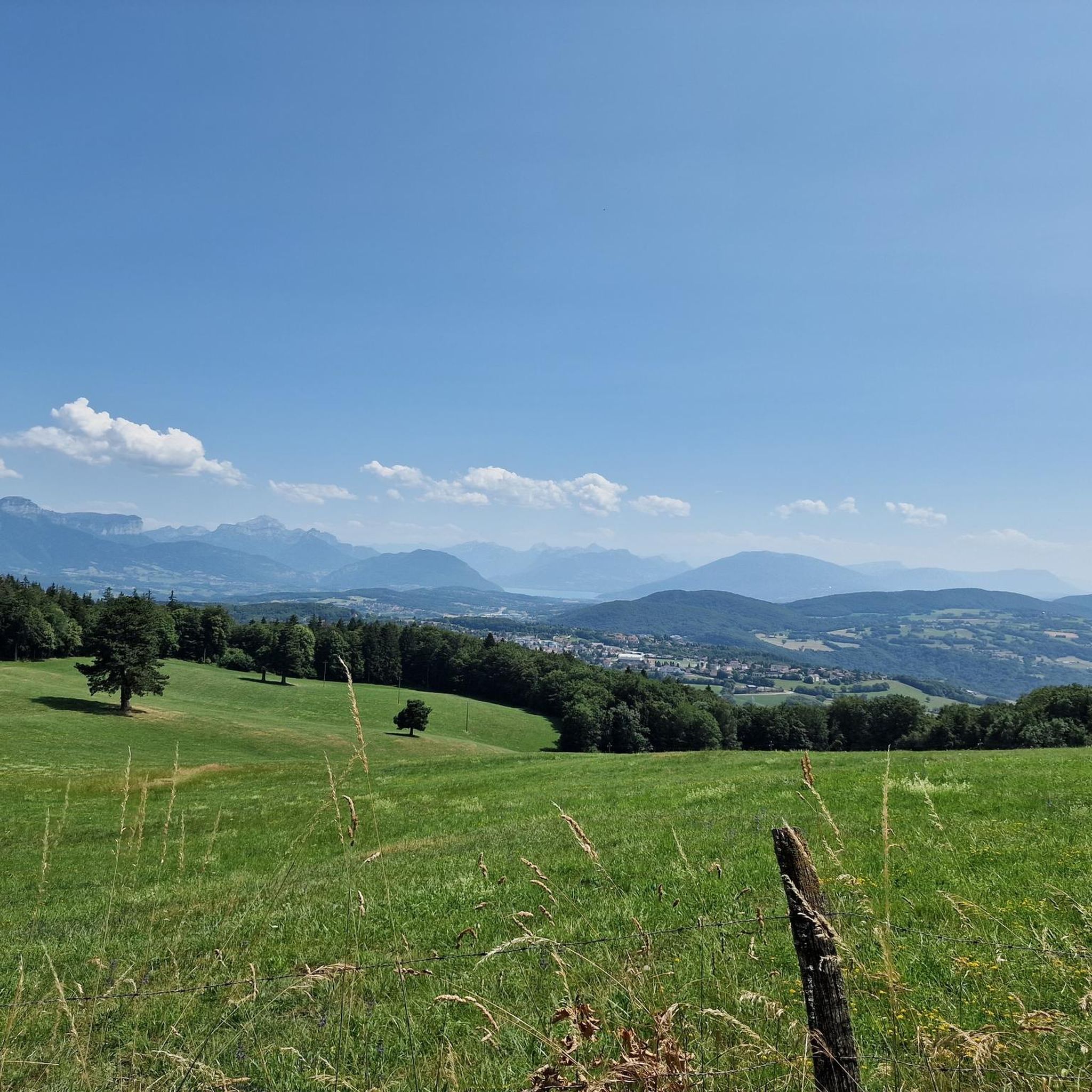
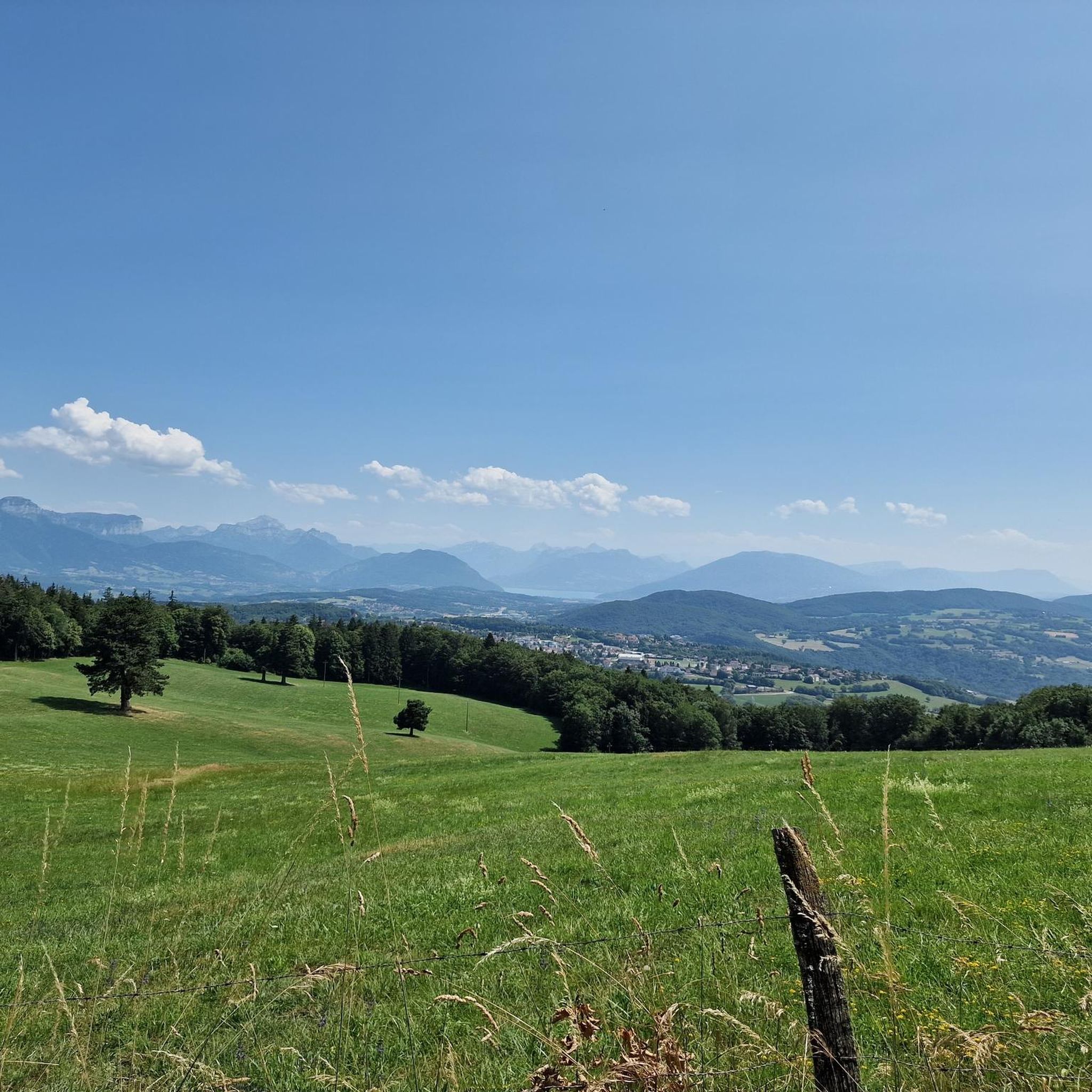

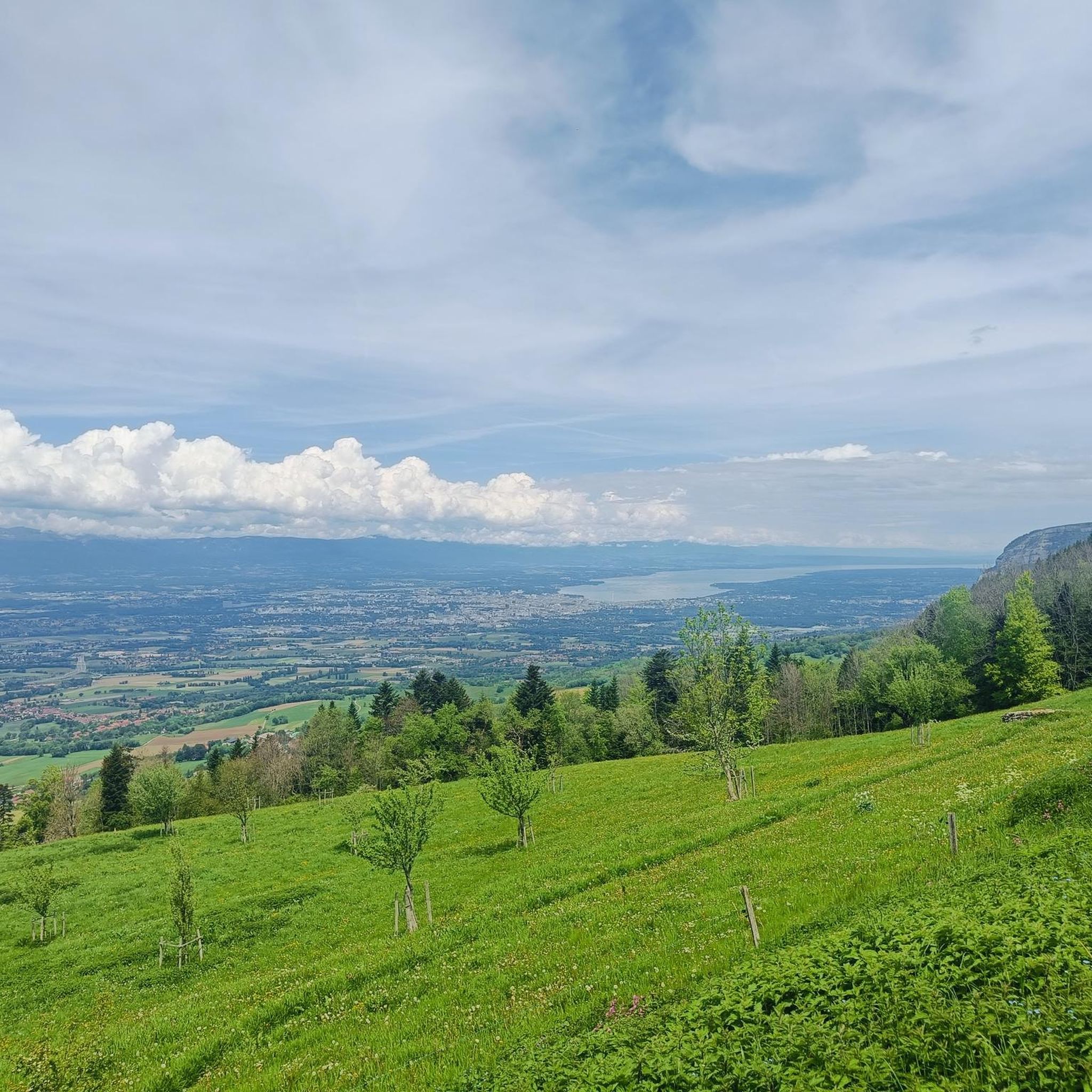
Tips from the Community

This lake is divided into a large lake and a small canal. Trout fishing is practiced here, as well as carp fishing. Special permits are available in several shops and bars in town. Main fish: rainbow trout, carp, roach, bream, catfish, pike, perch, etc. Depth: generally 1.5m to 2m, but near the dike, it can be between 4 and 5m.
1
0
Intersection point les Dronières (Parking) Altitude 790m
1
0
Intersection point Les Dronières Altitude 790m
1
0


water point
0
1

Magnificent castle for lovers of stone heritage
0
0

The breakthrough of the Rhone through the Vuache offers a spectacular view. The old Fort d' Ecluse is nestled into the slope on the steep slope.
0
0
Frequently Asked Questions
How many road cycling routes are available around Copponex?
There are over 130 road cycling routes around Copponex, offering a wide variety of options for different skill levels and preferences. The region's network of roads winds through rural areas, providing varied terrain.
What is the typical difficulty level of road cycling routes in Copponex?
Road cycling routes in Copponex range from moderate to difficult. While there are 13 easy routes, the majority (85) are moderate, and 38 are considered difficult, providing options for various fitness levels.
Are there routes suitable for beginners in Copponex?
Yes, there are 13 easy road cycling routes around Copponex. These routes typically feature less elevation gain and shorter distances, making them ideal for those new to road cycling or looking for a more relaxed ride.
What kind of elevation gain can I expect on road cycling routes near Copponex?
Elevation gains on routes around Copponex typically range from moderate to significant. For example, the Saint Martin Church – Lake Dronières loop from Jussy features over 850 meters of ascent, while the Lake Dronières loop from Cruseilles has around 320 meters of climbing.
Are there challenging routes for experienced road cyclists?
Absolutely. Copponex offers 38 difficult road cycling routes for experienced cyclists seeking a challenge. These routes often feature significant elevation gains and longer distances, providing ample opportunities for demanding climbs and scenic descents through the Haute-Savoie landscape. You can also explore nearby mountain passes like Croisette Pass or Col de la Croix Biche for more intense rides.
What are some scenic highlights or landmarks I can see along the routes?
Many routes offer picturesque views and pass by notable landmarks. You can enjoy views of Lake Dronières on routes like the Saint Martin Church – Lake Dronières loop from Jussy. Other routes might lead you past historical sites such as the Ruins of the Bains de la Caille or offer stunning vistas like the View of the Salève and Mont Blanc.
Are there loop routes available for road cycling around Copponex?
Yes, many of the road cycling routes around Copponex are designed as loops, allowing you to start and finish in the same location. Examples include the popular DVELOS Shop & Workshop – Maison Forte de Rossy loop from Cercier and the Lake Dronières – Groisy Church loop from Andilly.
When is the best time of year for road cycling in Copponex?
The best time for road cycling in Copponex is typically from spring through autumn (April to October). During these months, the weather is generally mild and pleasant, with less chance of snow or ice, making for ideal riding conditions through the rolling hills and valleys of Haute-Savoie.
What do other cyclists say about road cycling in Copponex?
The road cycling routes in Copponex are highly rated by the komoot community, with an average score of 4.5 stars from over 420 reviews. Cyclists often praise the varied terrain, the beautiful views of Lake Dronières, and the quiet rural roads that characterize the region.
Are there any routes that pass by historical sites?
Yes, some routes offer glimpses of local history. For instance, the DVELOS Shop & Workshop – Maison Forte de Rossy loop from Cercier passes by a historic fortified house. You can also find routes near the Ruins of the Bains de la Caille, offering a blend of cycling and cultural exploration.
Are there specific routes that offer views of Lake Dronières?
Lake Dronières is a prominent feature in the region, and several road cycling routes offer beautiful views of it. The Saint Martin Church – Lake Dronières loop from Jussy and the Groisy Church – Lake Dronières loop from Cruseilles are excellent choices for enjoying the lake scenery.
Can I find family-friendly road cycling routes in Copponex?
While many routes involve rolling hills, there are 13 easy routes that could be suitable for families, depending on their cycling experience. These routes tend to be shorter and have less demanding elevation changes, offering a more relaxed experience for all ages.
Where can I find parking near road cycling routes in Copponex?
Parking is generally available in the villages and towns where many routes begin, such as Cercier, Jussy, or Cruseilles. It's advisable to check local parking regulations upon arrival, especially in smaller hamlets.
Most popular attractions around Copponex

Get inspired with the komoot mobile app


Explore more
Browse the best Road cycling routes in other regions.
