The best road cycling routes around Blumenstein
4.6
(639)
15,856
riders
203
rides
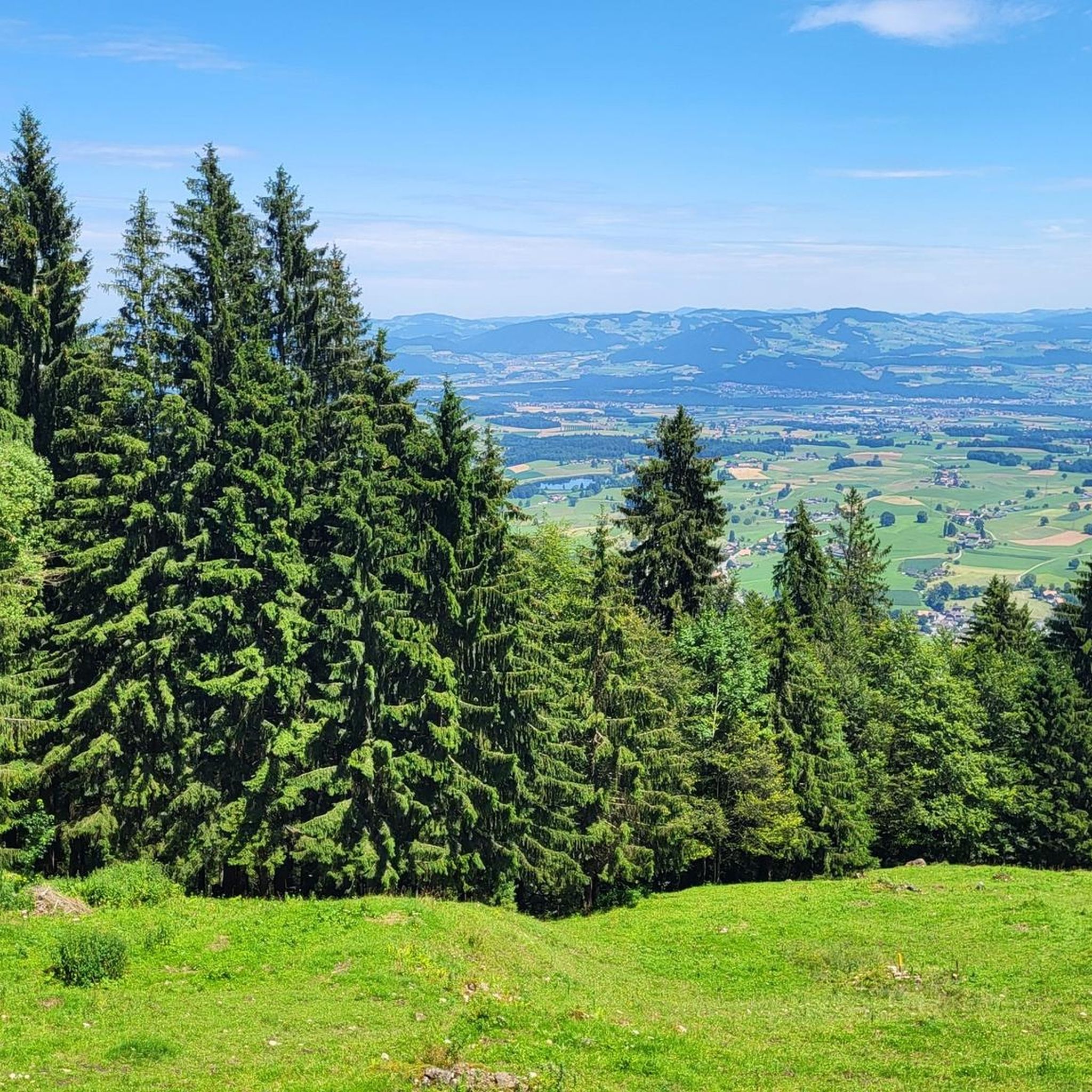
Road cycling routes around Blumenstein, located in the Bern region of Switzerland, traverse diverse landscapes. The area features varied terrain, including valleys, forested areas, and ascents offering views of the Bernese Alps and Lake Thun. Cyclists can expect mostly paved surfaces with significant elevation changes across the region.
Best road cycling routes around Blumenstein
- The most popular road cycling route is Gantrisch Legend Route, a 37.7 miles (60.7 km) trail that takes 4 hours 14 minutes to complete. This…
Last updated: May 11, 2026
71
riders
60.7km
04:14
1,140m
1,140m
Hard road ride. Very good fitness required. Mostly well-paved surfaces and easy to ride.
5.0
(1)
119
riders
140km
07:23
2,530m
2,530m
Hard road ride. Very good fitness required. Mostly well-paved surfaces and easy to ride.

Sign up for free
4.7
(3)
111
riders
49.7km
02:25
550m
550m
Moderate road ride. Good fitness required. Mostly well-paved surfaces and easy to ride.
85
riders
31.7km
01:25
290m
290m
Easy road ride. Great for any fitness level. Mostly well-paved surfaces and easy to ride.
4.7
(7)
80
riders
55.7km
02:28
450m
450m
Moderate road ride. Good fitness required. Mostly well-paved surfaces and easy to ride.
Get access to more routes and recommendations from other explorers.
Sign up for free
Already have an account?
Our route recommendations are based on thousands of hikes, rides, and runs completed by other people on komoot.
Start today with a free account
Your next adventure awaits.
Login or Signup

Tips from the Community

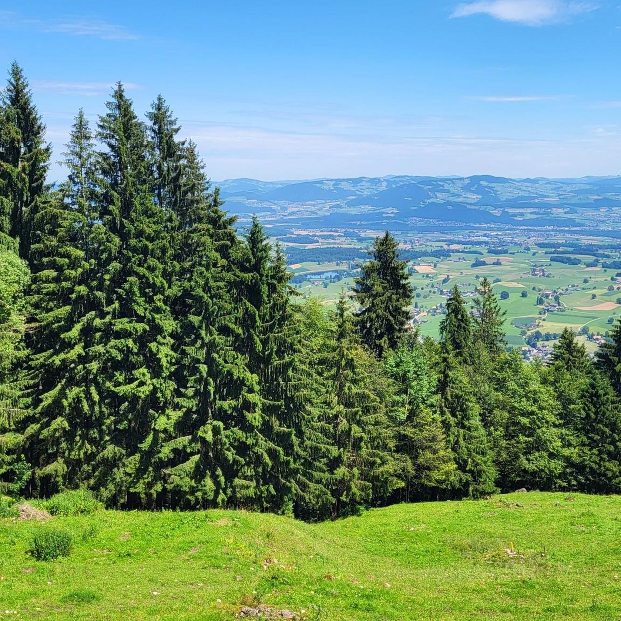
As you drive along the gravel roads, impressive views of the mighty Bernese Alps repeatedly open up. If the route continues straight, you can linger on the mountain peaks for a while, as there's no traffic.
0
0


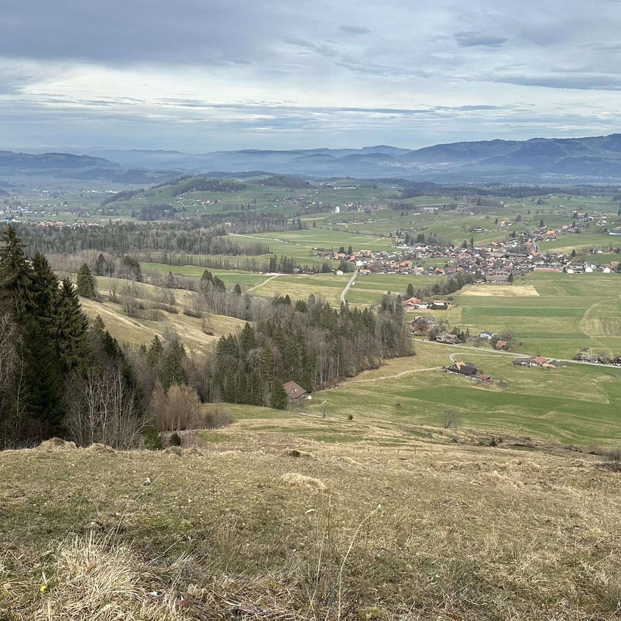
After the ascent from the Aare Valley to Grosshöchstetten, the "dessert" begins with a beautiful descent.
0
0
Relatively little car traffic on this road from Grosshöchstetten towards Münsingen.
0
0


Beautiful views of the Bernese Alps and the Jura.
0
0

This is a wonderful area. I can only recommend it.
1
0
Frequently Asked Questions
How many road cycling routes are available around Blumenstein?
There are over 200 road cycling routes around Blumenstein, offering a wide range of experiences for different fitness levels. The komoot community has highly rated these routes, with an average score of 4.6 stars.
What types of terrain and landscapes can I expect on road cycling routes in Blumenstein?
Road cycling routes in Blumenstein traverse diverse landscapes, including scenic valleys, forested areas, and significant ascents. You can expect mostly paved surfaces, with many routes offering breathtaking views of the Bernese Alps and Lake Thun. The region's varied terrain provides options from gentle rides to challenging climbs.
Are there easy road cycling routes suitable for beginners in Blumenstein?
Yes, Blumenstein offers 47 easy road cycling routes. An example is the View of the Bernese Alps loop from Burgistein, which covers about 31.7 km with moderate elevation gain, making it a good option for those looking for a less strenuous ride.
What are some challenging road cycling routes for experienced cyclists?
For experienced cyclists, Blumenstein offers 43 difficult routes. A notable challenging option is the Gantrisch Legend Route, a 60.7 km trail with substantial elevation gain through scenic landscapes. Another demanding route is the Zwieselberg Scenic Road – Gurnigel Ascent loop from Seftigen, which is 140.4 km and includes a significant ascent with expansive views.
Can I find circular road cycling routes around Blumenstein?
Yes, many of the road cycling routes around Blumenstein are designed as loops, allowing you to start and finish at the same point. For instance, the Zäziwil–Oberthal Scenic Route – Wyl Castle loop from Uetendorf is a 50.4 km circular trail leading through scenic valleys and past historical points.
What interesting landmarks or attractions can I see along the road cycling routes?
The region around Blumenstein is rich in natural beauty and historical sites. Along your rides, you might encounter impressive gorges like the Cholerenschlucht Gorge or cross scenic bridges such as the Strättligsteg footbridge over the Kander River. Historical castles are also prominent, including Thun Castle and Schadau Castle, often visible from various routes.
Are there routes that offer particularly scenic viewpoints?
Absolutely. Many routes are designed to showcase the stunning Swiss landscape. You can expect breathtaking views of Lake Thun and the majestic Oberland Mountains. The View of the Kander Gorge from Hanissteg is a specific highlight offering a dramatic perspective.
What is the best time of year for road cycling in Blumenstein?
The Bern region, where Blumenstein is located, is generally appealing for outdoor activities from spring through autumn. While specific weather conditions vary, these seasons typically offer more favorable temperatures and clearer conditions for road cycling. Some routes may involve significant elevation, so checking local weather forecasts is always recommended.
What do other road cyclists enjoy most about the routes in Blumenstein?
The road cycling routes in Blumenstein are highly rated by the komoot community, with an average score of 4.6 stars from over 600 reviews. Cyclists frequently praise the diverse landscapes, the stunning views of the Bernese Alps and Lake Thun, and the well-maintained, mostly paved surfaces that define the region's cycling experience.
Are there any routes that pass by historical castles?
Yes, several routes offer glimpses of historical architecture. For example, the Oberhofen Castle – View of the Bernese Alps loop from Seftigen passes by the impressive Oberhofen Castle. Other routes may offer views of Thun Castle and Hünegg Castle, adding a cultural dimension to your ride.
What is the typical elevation gain on road cycling routes in Blumenstein?
Road cycling in Blumenstein often involves significant elevation changes, reflecting the region's mountainous terrain. Routes can range from moderate climbs, like the Zäziwil–Oberthal Scenic Route with over 560 meters of ascent, to more challenging rides such as the Zwieselberg Scenic Road – Gurnigel Ascent loop, which features over 2,500 meters of elevation gain.
Most popular routes around Blumenstein
Most popular attractions around Blumenstein

Get inspired with the komoot mobile app


Explore more
Browse the best Road cycling routes in other regions.
