The best road cycling routes around Blumau-Neurißhof
4.4
(435)
8,076
riders
289
rides
Road cycling routes around Blumau-Neurißhof are situated in the Steinfeld of the Vienna Basin, offering a green landscape characterized by idyllic avenues and meadow paths. The region provides varied terrain, from mostly well-paved and easy-to-ride paths to more challenging routes with significant elevation gains. Riverside cycle routes, such as those along the Triesting River, are accessible, providing scenic and flat options for riders. This area serves as a starting point for excursions to neighboring communities, expanding the range of available…
Last updated: May 29, 2026
4.4
(5)
102
riders
57.7km
02:29
150m
150m
Moderate road ride. Good fitness required. Some segments of this route may be unpaved and difficult to ride.
55
riders
82.3km
03:31
560m
560m
Moderate road ride. Good fitness required. Some segments of this route may be unpaved and difficult to ride.

Sign up for free
22
riders
42.4km
01:50
330m
330m
Moderate road ride. Good fitness required. Mostly well-paved surfaces and easy to ride.
20
riders
71.7km
03:14
720m
720m
Moderate road ride. Good fitness required. Some segments of this route may be unpaved and difficult to ride.
5.0
(2)
13
riders
Easy road ride. Great for any fitness level. Mostly well-paved surfaces and easy to ride.
Get access to more routes and recommendations from other explorers.
Sign up for free
Already have an account?
Our route recommendations are based on thousands of hikes, rides, and runs completed by other people on komoot.
Start today with a free account
Your next adventure awaits.
Login or Signup

Tips from the Community

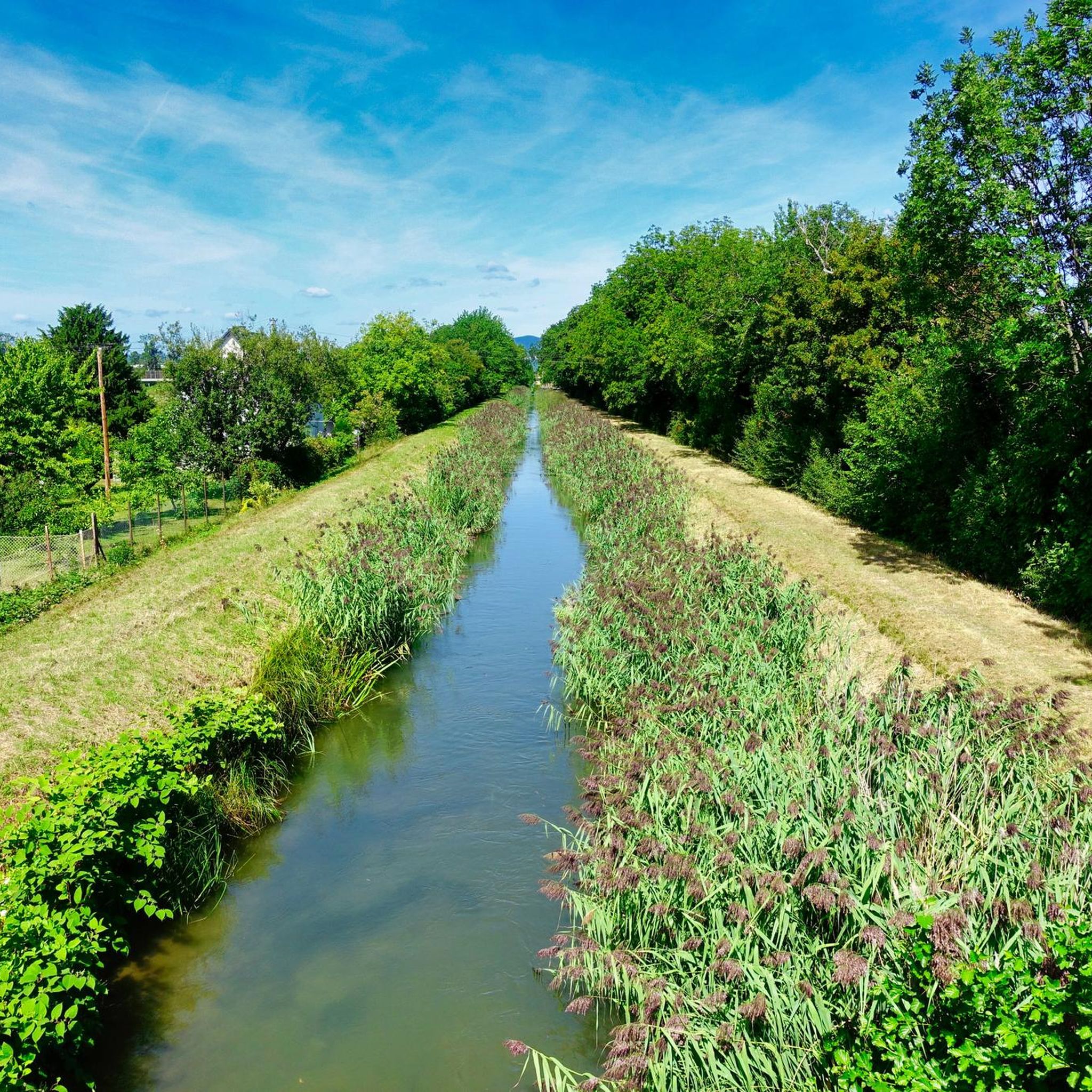
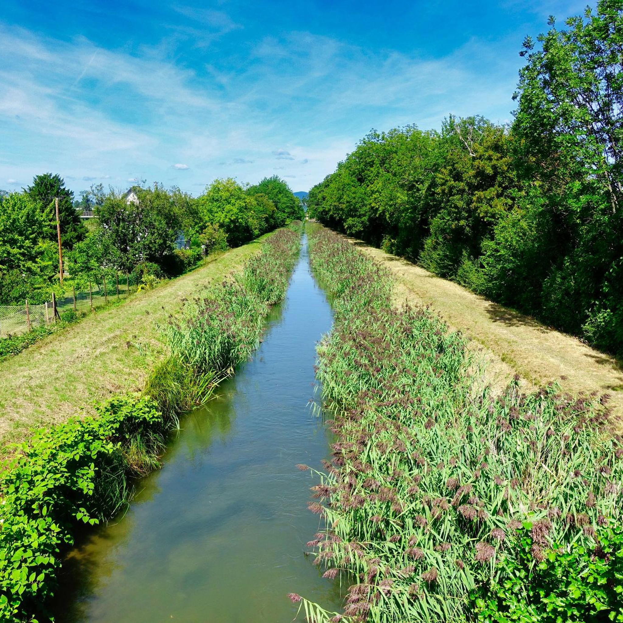
A very interesting route guidance. The path over the bridge leads along the Wiener Neustädter Canal and over the Schwechat.
0
0
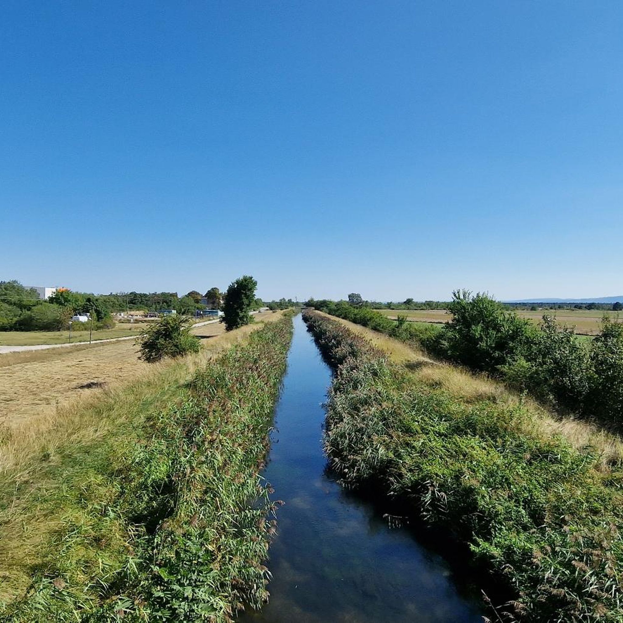
Asphalted cycle path along the Wiener Neustadt Canal. Along the path, many small bridges for crossing the canal, small waterworks, many benches, as well as rest areas and rest stops with catering.
0
0
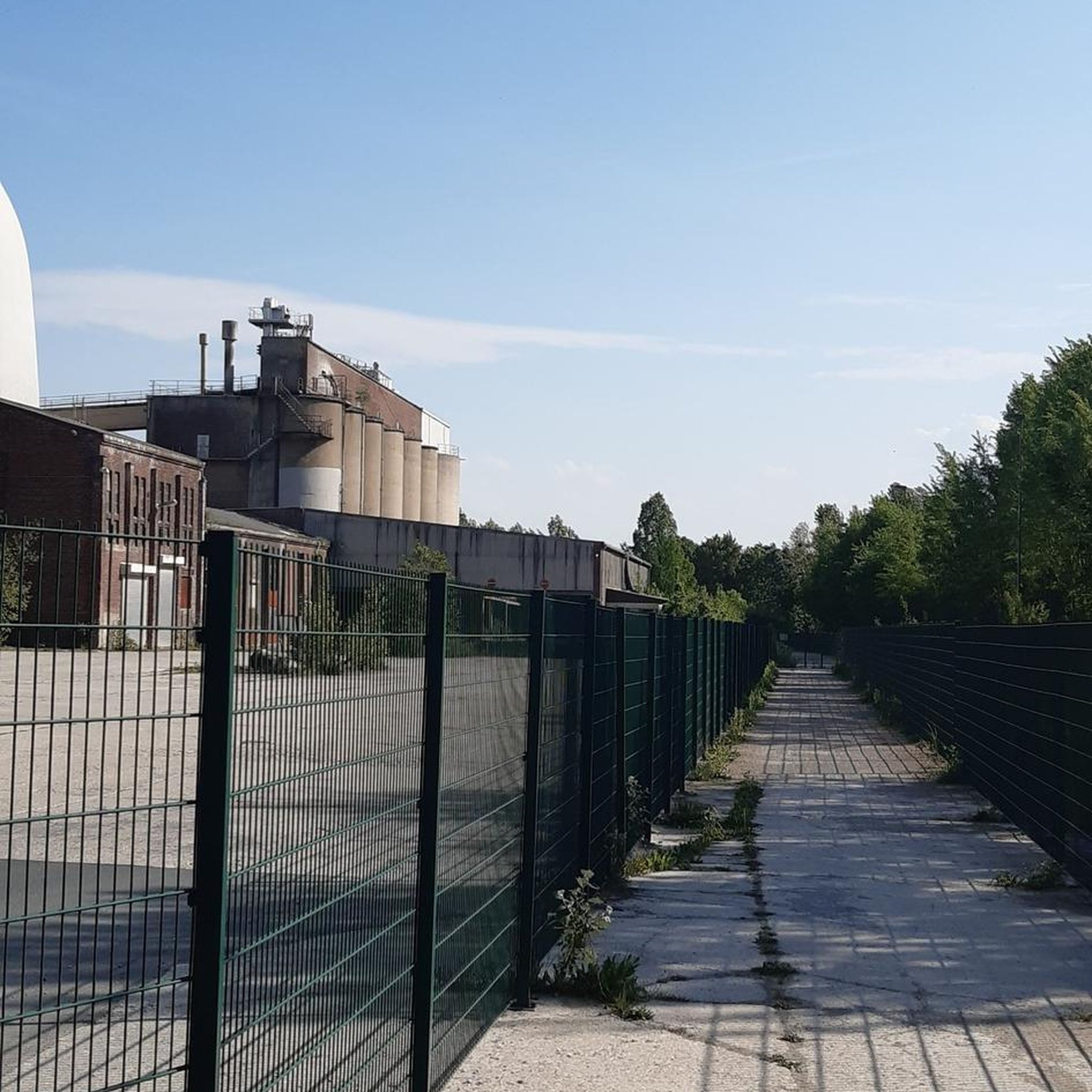
Very worthwhile lost place!
0
0
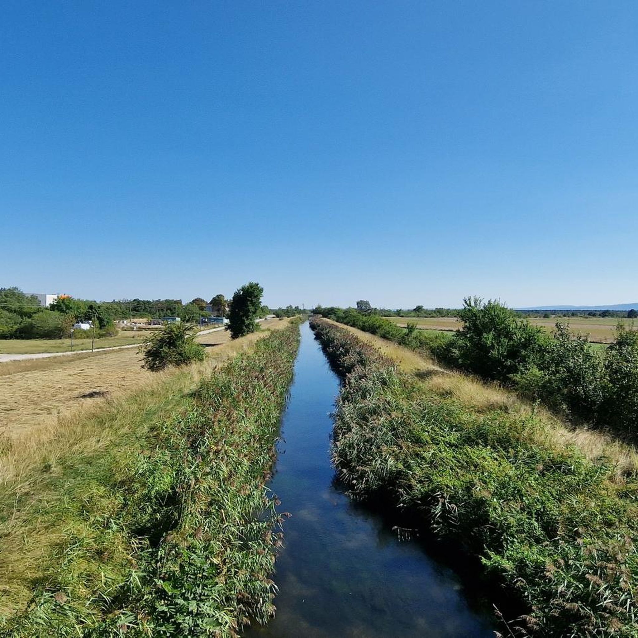
Paved cycle path along the Triesting through a wooded area, thus providing many shady sections. Along the path, many small bridges for crossing the Triesting, as well as many benches.
0
0
Paved cycle path along the Triesting through a wooded area, thus very shady sections. Along the path many small bridges for crossing the Triesting, likewise many benches.
0
0

Today's use: The building was acquired by the municipality in 1998, renovated, and now houses 9 municipal apartments, the municipal library, event rooms, and a small museum.
1
0
The spring is first mentioned in 1466 as the „Heylige Prunn“ in Christoph von Spaur’s Enzesfeld Urbarium, and there are also settlement remains from the Bronze Age pointing to a defunct place called Pölla, which was located in the vicinity of the spring. However, the spring must have been buried, as its documented emergence after a storm, during which the earth is said to have trembled according to witnesses, is dated to April 23, 1626.
0
0
The Leopold Column, a historic wayside shrine, commemorates the important Babenberg margraves Leopold III. (the Saint) and his son Leopold IV., as well as Bishop Otto of Freising, one of the most important chroniclers of the Middle Ages.
1
0
Frequently Asked Questions
How many road cycling routes are available around Blumau-Neurißhof?
There are nearly 300 road cycling routes around Blumau-Neurißhof listed on komoot, offering a wide variety of options for different skill levels. This includes 67 easy routes, 198 moderate routes, and 27 challenging routes.
What kind of terrain can I expect on road cycling routes around Blumau-Neurißhof?
The region offers varied terrain, from mostly well-paved and easy-to-ride paths suitable for any fitness level, to more challenging routes with significant elevation gains. You'll find idyllic avenues, meadow paths, and accessible riverside cycle routes, such as those along the Triesting River.
Are there easy road cycling routes suitable for beginners in Blumau-Neurißhof?
Yes, Blumau-Neurißhof offers 67 easy road cycling routes perfect for beginners or those seeking a relaxed ride. An example is the Magna Racino Bypass Road – Oberwaltersdorf bathing pond loop from Tattendorf, which is relatively flat and covers 25.8 km.
Where can I find challenging road cycling routes with significant climbs?
For those seeking a challenge, there are 27 difficult road cycling routes with notable elevation gains. A good option is the View of Hohe Wand – Aigen Ascent loop from Teesdorf, which features over 700 meters of elevation gain over 71.2 km.
What are the typical lengths and durations of road cycling routes in this region?
Route lengths vary significantly, from shorter rides of around 25 km taking about an hour, to longer excursions exceeding 80 km that can take over 3 hours. For instance, the Gausterer Pond Wine Tavern – Paved Cycle Path loop from Sollenau is 57.7 km and takes approximately 2 hours 29 minutes.
Are there any circular road cycling routes in Blumau-Neurißhof?
Many of the road cycling routes in the area are designed as loops, allowing you to start and end at the same point. Examples include the Kottingbrunn Castle – Helenental loop from Sollenau and the Descent to Bad Fischau – Dreistätten Climb loop from Blumau-Neurißhof.
What scenic viewpoints or natural features can I discover while road cycling?
Blumau-Neurißhof is known as a 'green oasis' within the Vienna Basin, offering picturesque avenues and meadow paths. You can also find beautiful lakes nearby, such as Badeteich Oberwaltersdorf or Neufelder See, which provide pleasant views and potential resting spots.
Are there any interesting landmarks or cultural sights along the road cycling routes?
Yes, the region offers a blend of natural beauty and cultural interest. Cyclists can encounter historic architecture, including the parish church and former k.u.k. powder factory buildings within Blumau-Neurißhof. Routes like the Kottingbrunn Castle – Helenental loop from Sollenau pass by notable historical sites.
Is parking available near the road cycling routes in Blumau-Neurißhof?
Parking is generally available in and around Blumau-Neurißhof and its neighboring communities, which serve as common starting points for cycling excursions. Look for designated parking areas in towns like Sollenau, Teesdorf, or Tattendorf, depending on your chosen route's starting point.
What do other road cyclists enjoy most about road cycling in Blumau-Neurißhof?
The road cycling routes in Blumau-Neurißhof are highly rated by the komoot community, with an average score of 4.5 stars from over 390 reviews. Reviewers often praise the region's green landscapes, idyllic avenues, and the variety of routes catering to different ability levels.
What is the best time of year for road biking in Blumau-Neurißhof?
The region is enjoyable for road cycling throughout the warmer months, typically from spring to autumn. The 'green oasis' environment provides pleasant scenery, and the varied terrain is accessible in good weather conditions. Always check local weather forecasts before heading out.
Most popular routes around Blumau-Neurißhof
Most popular attractions around Blumau-Neurißhof

Get inspired with the komoot mobile app


Explore more
Browse the best Road cycling routes in other regions.
