The best road cycling routes around Bouverans
4.1
(80)
2,832
riders
156
rides
Road cycling routes around Bouverans traverse the varied landscapes of the Jura department in France. The region is characterized by its rolling hills, extensive forests, and proximity to lakes and marshlands, offering diverse terrain for road cyclists. Routes often feature moderate ascents and descents, providing both scenic views and physical challenges. The area's network of roads connects small villages with natural attractions, making it suitable for exploring the local environment by bike.
Best road cycling routes around Bouverans
- The most…
Last updated: July 7, 2026
4.7
(28)
283
riders
Moderate road ride. Good fitness required. Mostly well-paved surfaces and easy to ride.
18
riders
57.7km
02:37
570m
570m
Moderate road ride. Good fitness required. Mostly well-paved surfaces and easy to ride.

Sign up for free
29
riders
26.1km
01:06
180m
180m
Easy road ride. Great for any fitness level. Mostly well-paved surfaces and easy to ride.
14
riders
Hard road ride. Very good fitness required. Some segments of this route may be unpaved and difficult to ride.
4.0
(1)
12
riders
40.7km
02:07
700m
700m
Moderate road ride. Good fitness required. Mostly well-paved surfaces and easy to ride.
Get access to more routes and recommendations from other explorers.
Sign up for free
Already have an account?
Our route recommendations are based on thousands of hikes, rides, and runs completed by other people on komoot.
Start today with a free account
Your next adventure awaits.
Login or Signup

Tips from the Community


Pass without any difficulty from Mouthe: approximately 6.5 km at 3-4%.
0
0

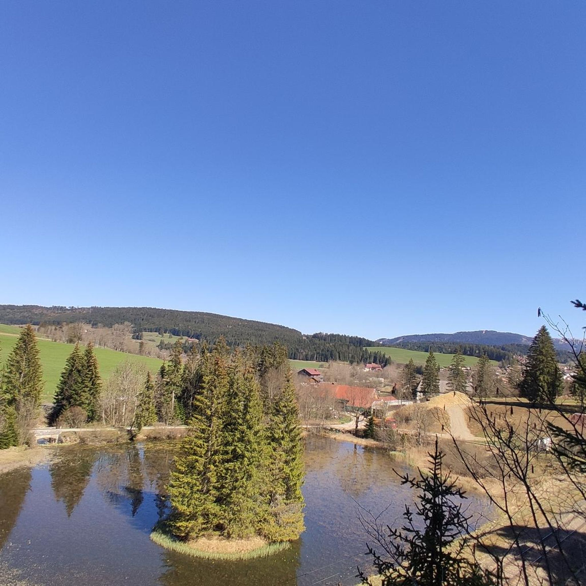
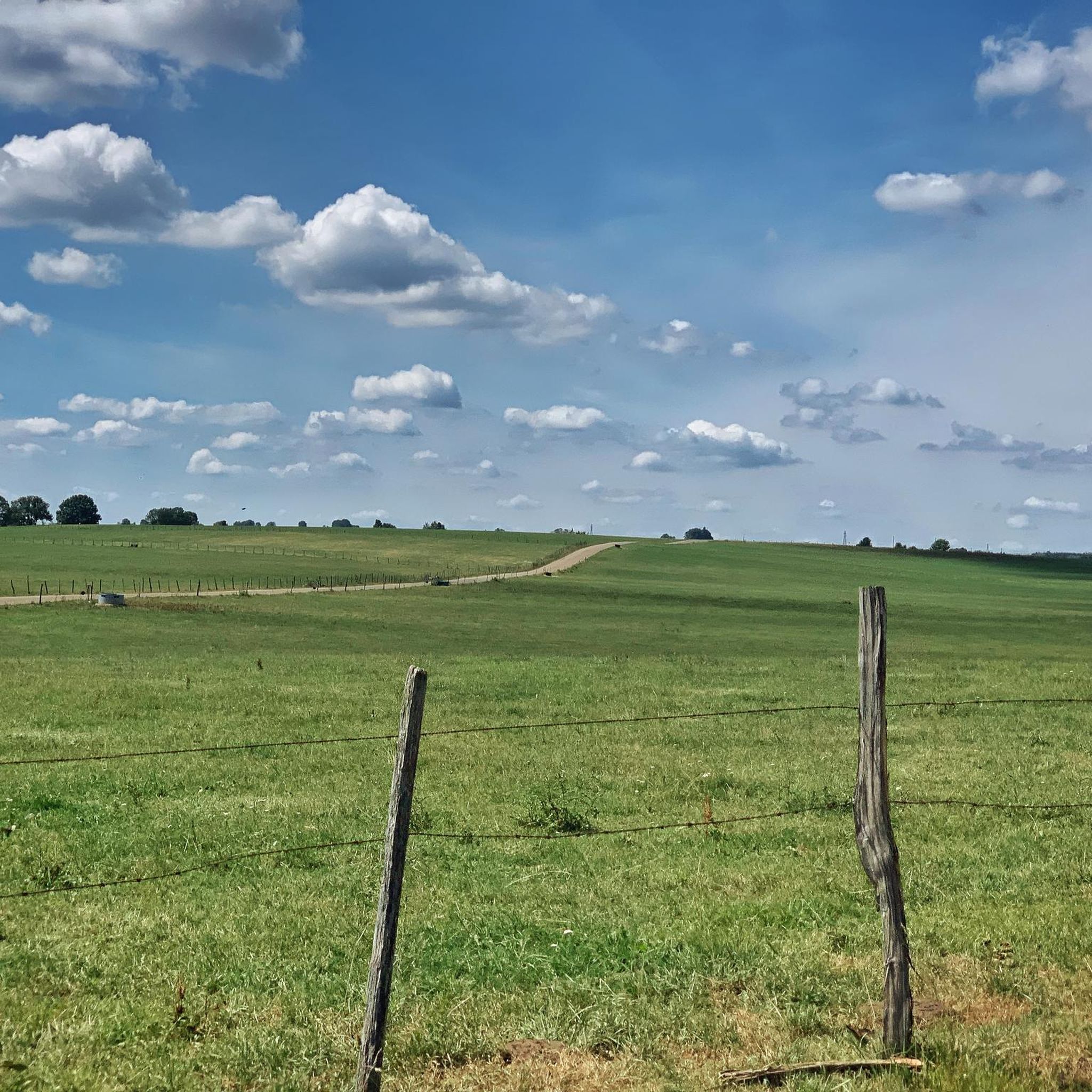
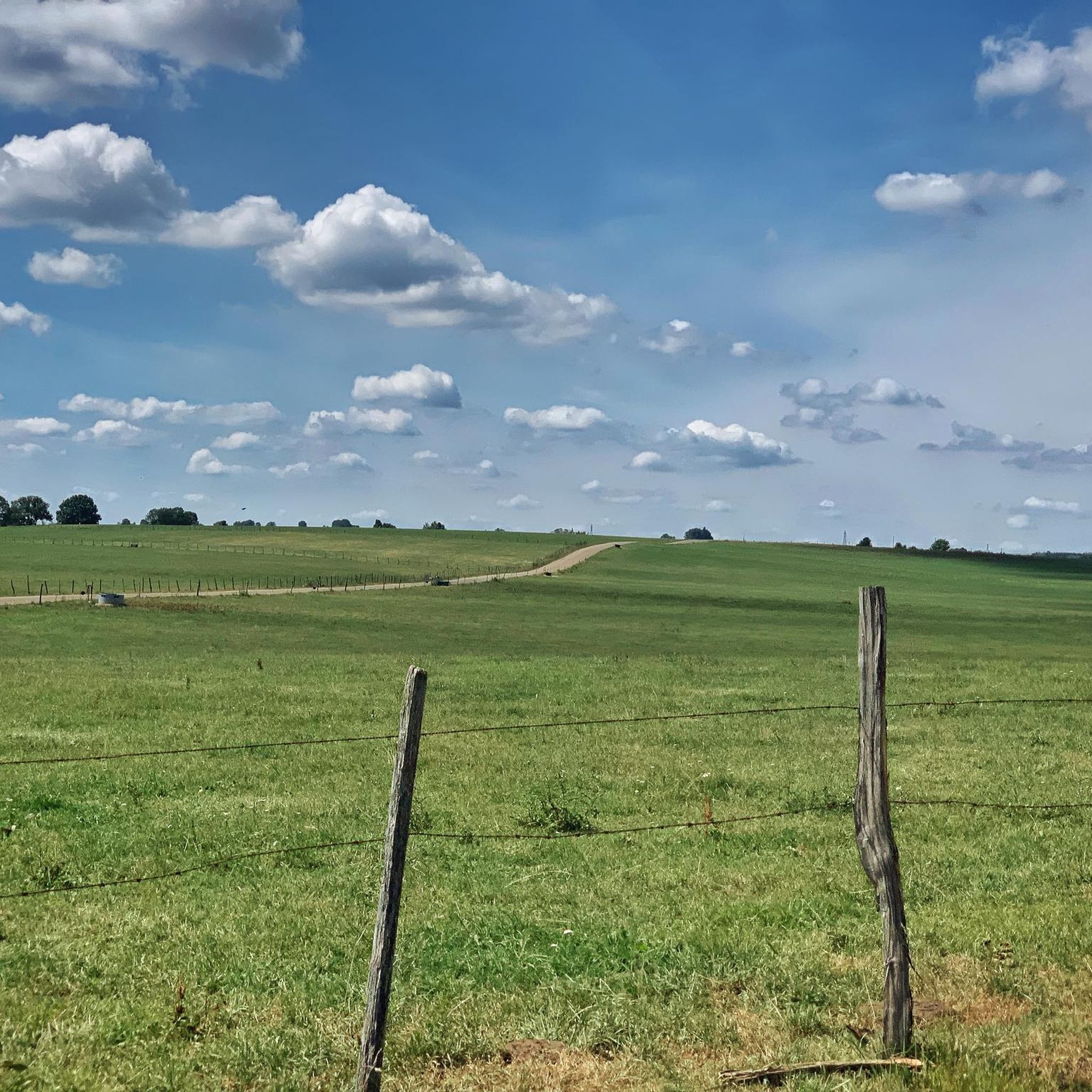
Very nice view of the Doubs marsh between the Lac de Remoray and the Lac de Saint-Point. In the background you can see the Grand Taureau mountain
5
0
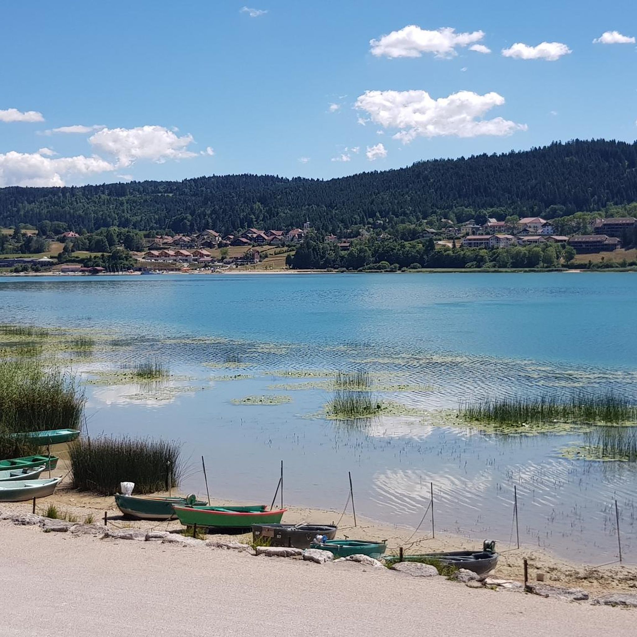
This lake, known for its bright blue water, crosses the Doubs in a 'valley'. This lake once formed one large body of water together with Lake Remoray. The lake is 6.3 km long and 800m wide, making it the fourth largest natural lake in France. In winter it freezes. By constructing a dam on the north side, it helps regulate the water of the Doubs.
6
0
The Église Saint-Bénigne in Pontarlier is a church dating from the 15th, 16th and 17th centuries. This church combines Romanesque, Gothic and Franc-Comtoise style elements. The striking clocher porch is topped with an imperial domed roof, also known as a clocher comtois, a traditional feature of Franche-Comté. The roof is covered with glazed tiles. The Église Saint-Bénigne is located in the Haut-Doubs and is dedicated to Saint Bénigne. Since May 19, 1970, the building has been registered as a historical monument. Historically, the church was almost completely rebuilt between 1651 and 1666 on the same site as an original 11th century Romanesque church, of which almost nothing remains (except a 15th century portal). This happened after the passage of the troops of Duke Bernard de Saxe-Weimar during the Thirty Years' War. In 1666 the church was rededicated in honor of Saint Bénigne. The church has suffered serious damage over time from two fires, one in 1680 and one during the Pontarlier fire of 1736. The clocher porch was rebuilt in 1681, and the imperial dome was added in 1753 by architect Nicolas Nicole. In 1970 the church underwent a major restoration, and in 1974 new stained glass windows were created by artist Alfred Manessier and the Lorin de Chartres workshops. The organ, which dates from 1758 and is in Louis XV style, was restored in 1844 and again in 1982.
7
0

Lake Remoray is one of the richest areas of Doubs in terms of nature. On this 430 hectare site there are numerous plant and animal species due to the wide variety of natural environments (marshes, lakes, peat bogs, forests, meadows, gravel pits, rivers), and also at altitude. 1872 species are currently recorded there.
0
0
Third largest natural lake in France with its 398 hectares. Whatever the season, we never tire of observing it from the road.
0
0
Frequently Asked Questions
How many road cycling routes are available around Bouverans?
There are over 150 road cycling routes around Bouverans, offering a wide variety of options for cyclists of all levels. The komoot community has explored more than 150 routes in the area.
What is the general difficulty level of road cycling routes in Bouverans?
The road cycling routes around Bouverans traverse the varied landscapes of the Jura department, characterized by rolling hills and extensive forests. This means routes often feature moderate ascents and descents. You'll find a good mix, with 28 easy, 80 moderate, and 48 difficult routes available.
Are there any beginner-friendly road cycling routes in Bouverans?
Yes, Bouverans offers 28 easy road cycling routes suitable for beginners or those looking for a more relaxed ride. An excellent option is the Étang de la Rivière-Drugeon – Lande du Doubs loop from La Rivière-Drugeon, which is 17.1 miles (27.5 km) long with gentle elevation changes.
What are some of the more challenging road cycling routes in the Bouverans region?
For experienced cyclists seeking a challenge, there are 48 difficult routes around Bouverans. These routes typically feature more significant elevation gains and longer distances, providing a robust workout amidst the scenic Jura landscape.
What kind of scenery can I expect on road cycling routes around Bouverans?
Road cycling around Bouverans offers diverse scenery, including views of lakes and marshlands, dense forests, and open roads connecting small villages. Many routes provide picturesque views of natural attractions like Lac de Saint-Point and Lake Remoray.
Are there road cycling routes that feature lakes or water bodies?
Absolutely. The region is known for its proximity to lakes and marshlands. For example, the View of the Marshes – Tour of Lake Saint Point loop from La Rivière-Drugeon takes you through marshland views and around Lake Saint-Point.
What is the best season for road cycling in Bouverans?
The best season for road cycling in Bouverans is typically from spring to autumn when the weather is mild and the landscapes are vibrant. Summer offers warm temperatures, while spring and autumn provide cooler rides and beautiful foliage. Winter conditions can be challenging due to snow and ice, especially in higher elevations.
Are there any loop road cycling routes around Bouverans?
Yes, many road cycling routes in Bouverans are designed as loops, allowing you to start and end at the same point. An example is the Étang de la Rivière-Drugeon – Pontarlier loop from La Rivière-Drugeon, which offers a comprehensive tour of the area.
What do other road cyclists enjoy most about cycling in Bouverans?
The area is highly rated by the komoot community, with an average score of 4.1 stars from over 80 reviews. Reviewers often praise the diverse terrain, from rolling hills to scenic lake views, and the well-maintained network of roads that connect charming villages with natural attractions.
Are there any notable attractions or landmarks to see along the road cycling routes?
Yes, the routes often pass by or offer views of several attractions. You can enjoy sights like Lac de Saint-Point, Lake Remoray, and the unique The Blue Spring. Many routes also offer panoramic viewpoints of the surrounding natural beauty.
What is the typical distance and elevation gain for road cycling routes in Bouverans?
The distances and elevation gains vary significantly. Easy routes, like the Route de la Forêt du Drugeon loop from La Rivière-Drugeon, can be around 18.3 miles (29.5 km) with about 900 ft (275 m) of elevation. More challenging routes, such as the View of Lac de Remoray – View of the Marshes loop from La Rivière-Drugeon, can extend to 41.6 miles (66.9 km) with over 2,400 ft (740 m) of climbing.
Most popular attractions around Bouverans

Get inspired with the komoot mobile app


Explore more
Browse the best Road cycling routes in other regions.
