The best mountain hikes around La Compôte
4.7
(7)
70
hikers
11
hikes
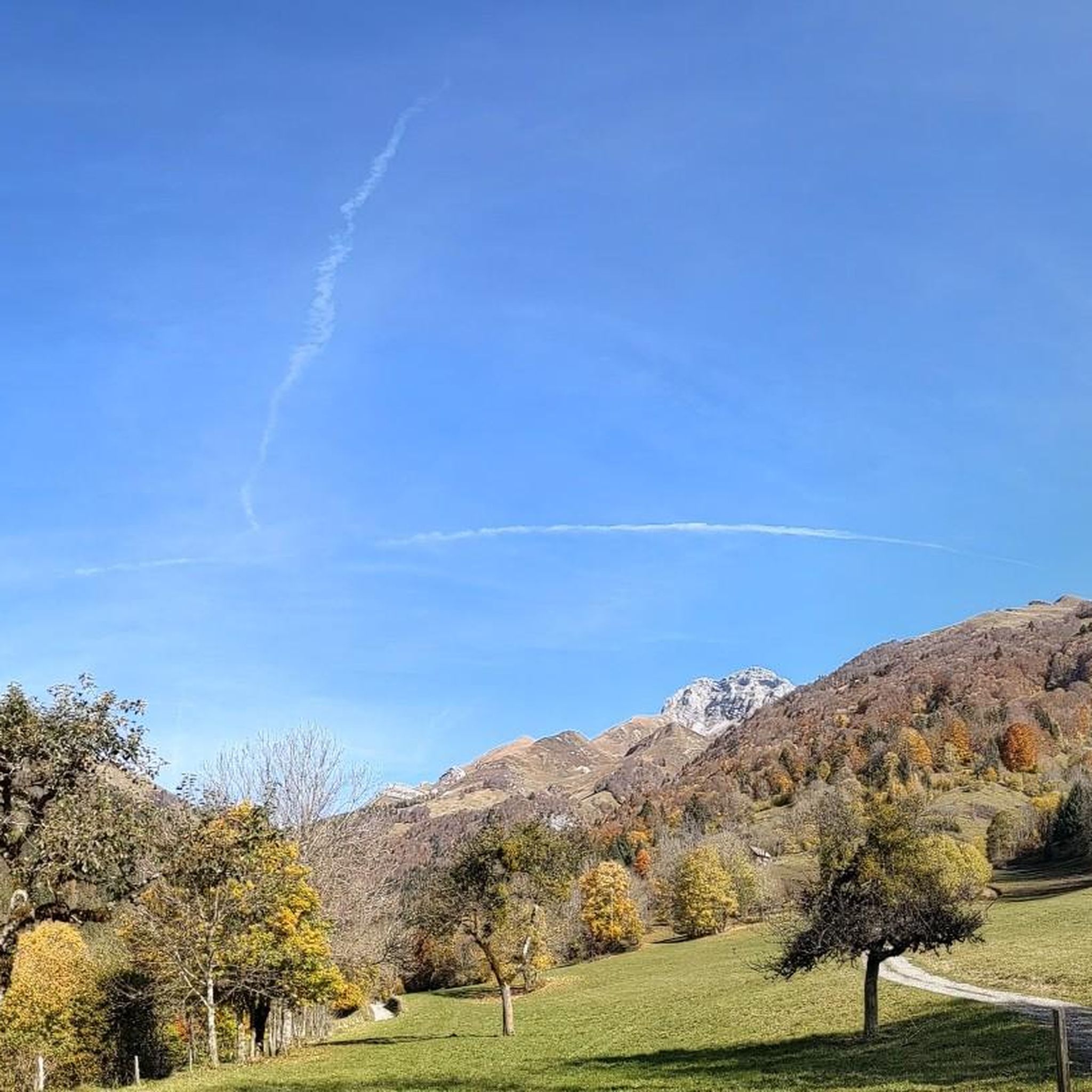
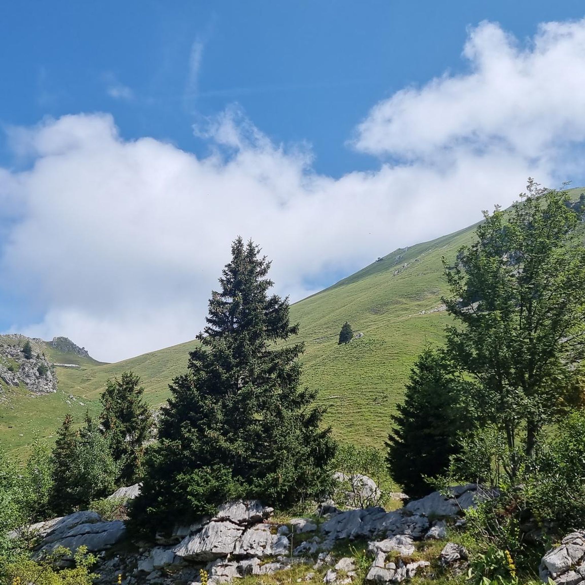
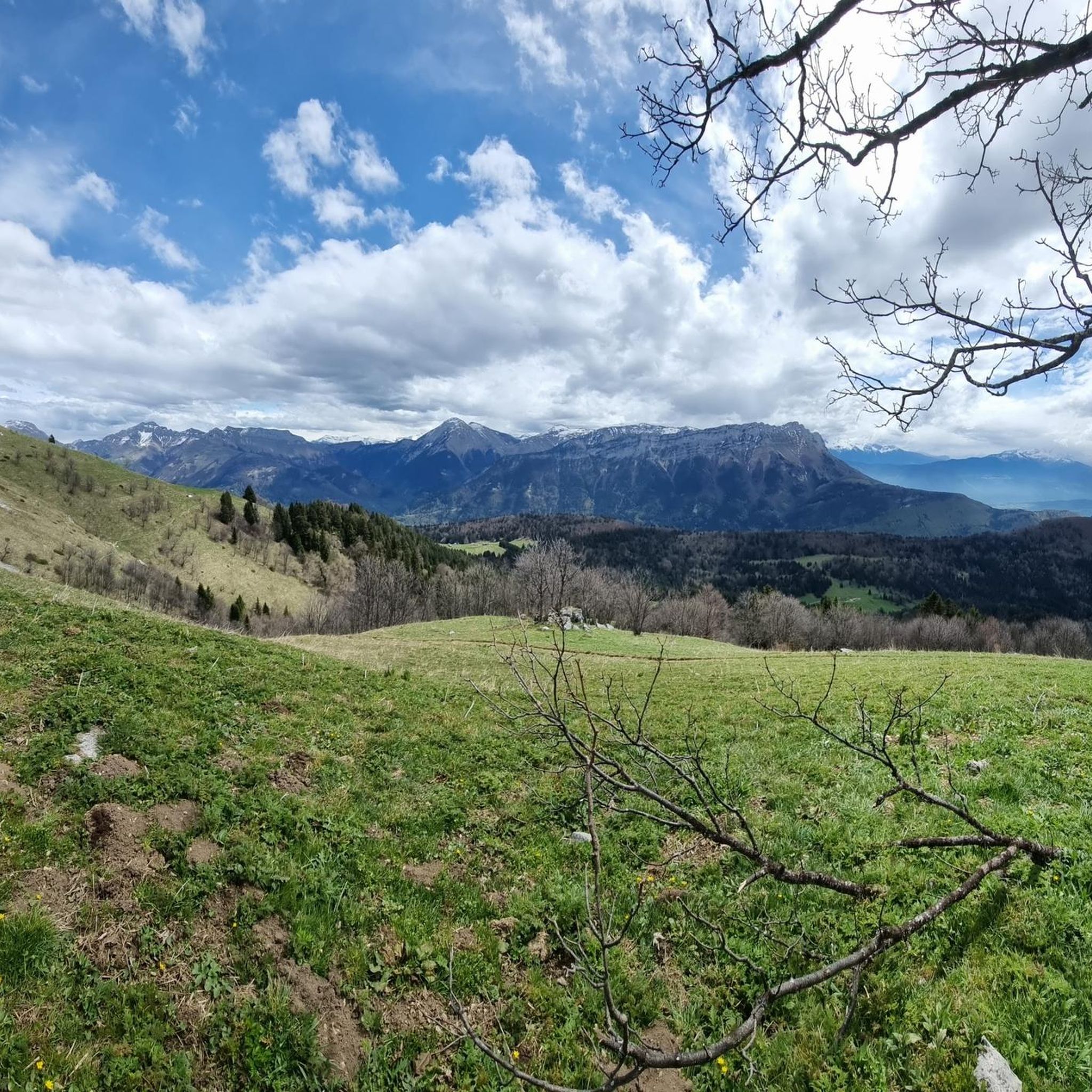
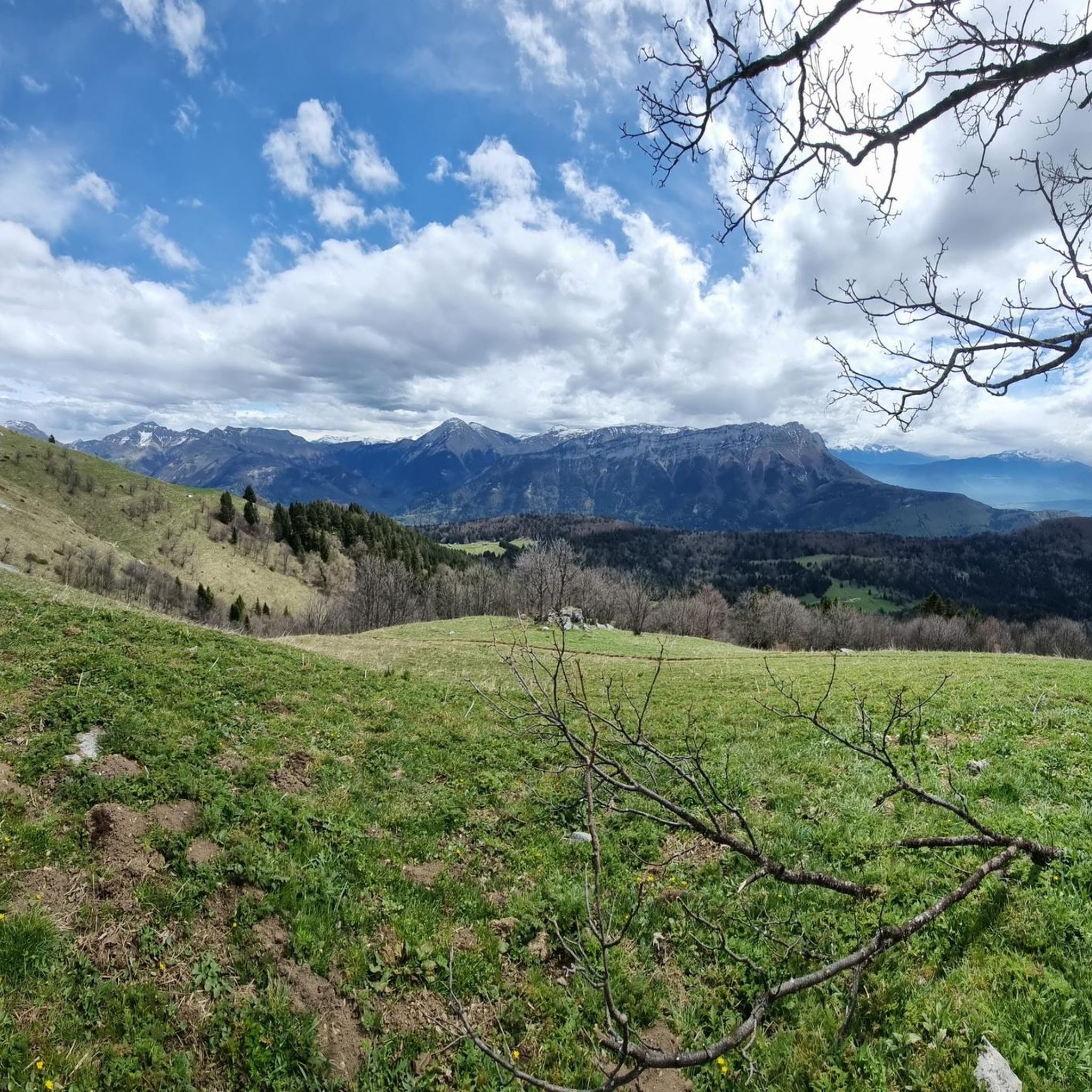
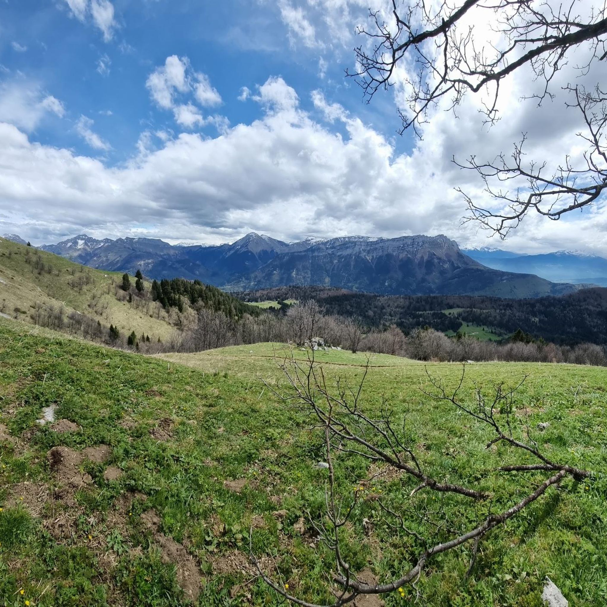
Mountaineering routes La Compôte are situated within the Massif des Bauges Regional Nature Park in the French Alps, offering a diverse mountain experience. The landscape is characterized by majestic mountain peaks, passes, and verdant valleys, with forests and meadows. This region provides access to a range of challenging routes, set amidst a rich natural environment.
Best mountaineering routes around La Compôte
- The most popular mountaineering route is Col d'Orgeval loop from Réserve biologique intégrale du Haut Chéran, a 6.6…
Last updated: August 21, 2026
4.7
(3)
10
hikers
Hard mountaineering route. Good fitness required. Sure-footedness, sturdy shoes and alpine experience required.
9
hikers
10.9km
06:07
1,090m
1,090m
Hard mountaineering route. Very good fitness required. Mostly accessible paths. Sure-footedness required.

Sign up for free
3
hikers
14.8km
07:09
1,260m
1,260m
Hard mountaineering route. Very good fitness required. Sure-footedness, sturdy shoes and alpine experience required.
4.0
(2)
9
hikers
10.8km
05:15
810m
820m
Hard mountaineering route. Very good fitness required. Mostly accessible paths. Sure-footedness required.
6
hikers
11.7km
06:23
1,070m
1,070m
Hard mountaineering route. Very good fitness required. Mostly accessible paths. Sure-footedness required.
Get access to more routes and recommendations from other explorers.
Sign up for free
Already have an account?
Our route recommendations are based on thousands of hikes, rides, and runs completed by other people on komoot.
Start today with a free account
Your next adventure awaits.
Login or Signup

Tips from the Community

Very beautiful hike to a beautiful view. You go through a protected area where dogs are not allowed. So pay attention to this.
0
0

A remarkable viewpoint, ideal for admiring the Bauges mountains and Mont Blanc in the distance.
0
0

Magnificent trail, with a breathtaking view of Lake Annecy! Steep and potentially icy in late winter, small crampons may be useful.
1
0

The "summit" is unspectacular, as it is almost at the edge of the road. But the view is bombastic and this is where the (optional) ascent to the Colombier begins.
0
0
To me it looked more like abandoned, dilapidated barns :D But it was probably also because I was out and about at the beginning of November and meanwhile there is no longer any business there.
0
0

One of the most beautiful places around Lake Annecy. Not to be missed.
0
0
Mont Trélod is for me the most beautiful summit of the Bauges. All these accesses are magnificent and allow you to make beautiful loops.
0
0

Frequently Asked Questions
How many mountaineering routes are available around La Compôte?
There are over 15 mountaineering routes around La Compôte listed on komoot. These include a mix of moderate and difficult trails, offering diverse challenges for mountaineers.
Are there any circular mountaineering routes in the area?
Yes, many of the mountaineering routes around La Compôte are circular. For example, you can explore the Col d'Orgeval loop from Réserve biologique intégrale du Haut Chéran, a moderate 10.7 km route, or the more challenging Mont Trélod (2,181 m) – Dent des Portes loop from Bauges Mountains, which covers 13.4 km.
What kind of terrain can I expect on mountaineering routes near La Compôte?
The terrain around La Compôte, nestled in the Massif des Bauges Regional Nature Park, is varied and characteristic of the French Alps. You'll encounter majestic mountain peaks, passes, and verdant valleys, with sections through dense forests and open meadows. Routes often involve significant elevation changes and can require sure-footedness, especially on more difficult trails.
What are some challenging mountaineering routes for experienced climbers?
For experienced mountaineers seeking a challenge, the Mont Trélod (2,181 m) – Dent des Portes loop from Bauges Mountains is a difficult 13.4 km path with sustained climbing. Another demanding option is the Mont Trélod (2,181 m) loop from Doucy-en-Bauges, a 16.2 km route with over 1300 meters of elevation gain.
Are there any moderate mountaineering options for those building experience?
Absolutely. A great moderate option is the Col d'Orgeval loop from Réserve biologique intégrale du Haut Chéran. This 10.7 km route takes approximately 4 hours 17 minutes and traverses varied mountain terrain with notable elevation changes, perfect for gaining confidence.
What are some interesting landmarks or viewpoints along the mountaineering routes?
The region offers stunning natural features and viewpoints. You can encounter several mountain passes like Chérel Pass or Cochette Pass. Summits like Mont Colombier and Mont Trélod offer panoramic views. There's also the unique Trail of sinkholes and ice caves to explore.
What do other mountaineers enjoy most about the routes in La Compôte?
The mountaineering routes around La Compôte are highly rated by the komoot community, with an average score of 4.1 stars. Reviewers often praise the diverse mountain experience, the majestic peaks, and the serene beauty of the verdant valleys and forests within this 'refuge of biodiversity'.
Is it possible to find less crowded mountaineering trails near La Compôte?
While some routes are popular, the Massif des Bauges Regional Nature Park offers a vast network of trails. To find less crowded options, consider exploring routes that are slightly longer or have higher elevation gains, such as the Aillon Dovecote loop from Parking de Praz Gelaz, which is a difficult 10.7 km route.
Are there any specific regulations for dog owners on the trails?
As La Compôte is located within the Massif des Bauges Regional Nature Park, it's important to check specific park regulations regarding dogs. Generally, dogs are permitted on many trails but often need to be kept on a leash, especially in areas with livestock or protected wildlife. Always ensure your dog is under control and respect local signage.
What is the best time of year for mountaineering in La Compôte?
The region offers a year-round outdoor playground. Spring and autumn provide pleasant temperatures and vibrant scenery, ideal for hiking. Summer is excellent for higher altitude routes. During winter, the landscape transforms, offering opportunities for snowshoeing and ski touring, though specific mountaineering routes may require specialized gear and experience due to snow and ice conditions.
Where can I find parking for the mountaineering trails?
Many trailheads around La Compôte offer designated parking areas. For instance, the Bois du Petet – Col de Bornette loop starts from Parking du petit Reposoir, indicating specific parking availability for that route. It's advisable to check the route details on komoot for specific parking information for your chosen trail.
Are there any cafes or places to eat near the mountaineering routes?
La Compôte village itself, with its traditional architecture, offers amenities. While specific cafes directly on mountain routes are rare, you can find places to eat and drink in La Compôte and other nearby villages within the Coeur des Bauges, perfect for before or after your mountaineering adventure.
Most popular attractions around La Compôte

Get inspired with the komoot mobile app


Explore more
Browse the best Mountain Hikes & Routes in other regions.
