The best mountain hikes around Giez
4.7
(62)
391
hikers
31
hikes
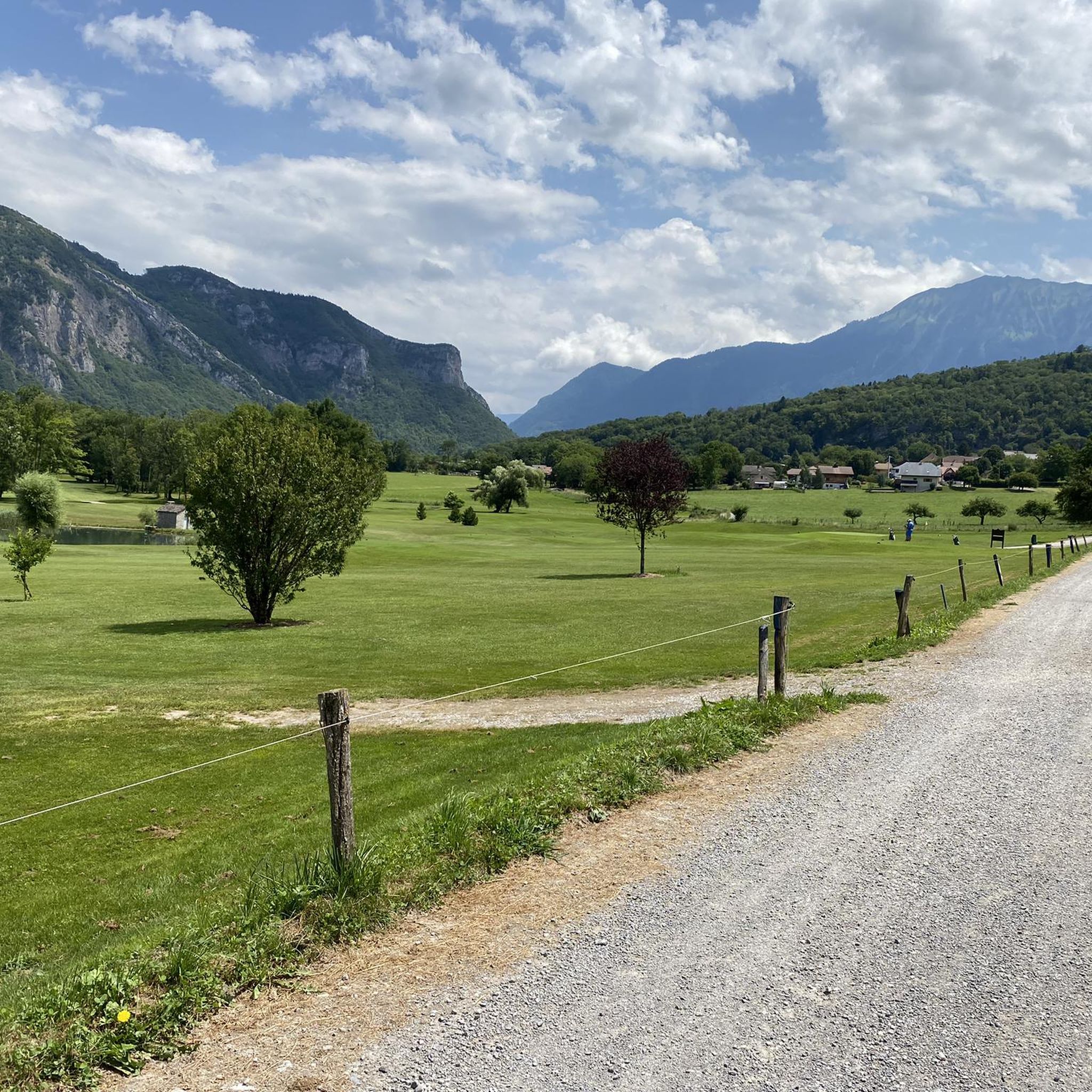
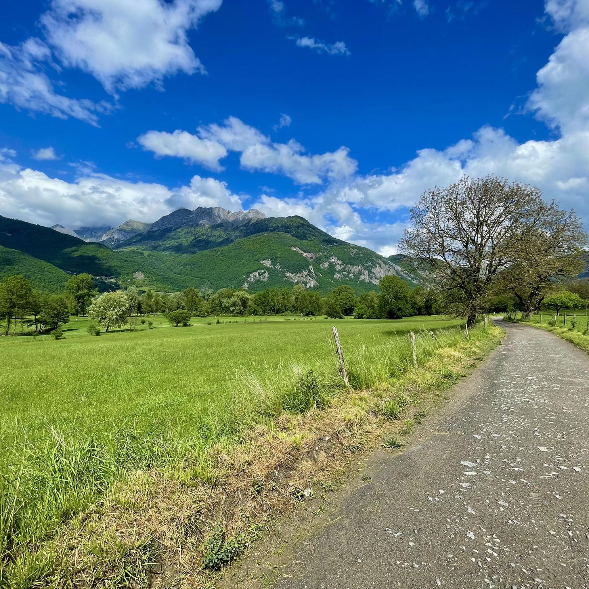
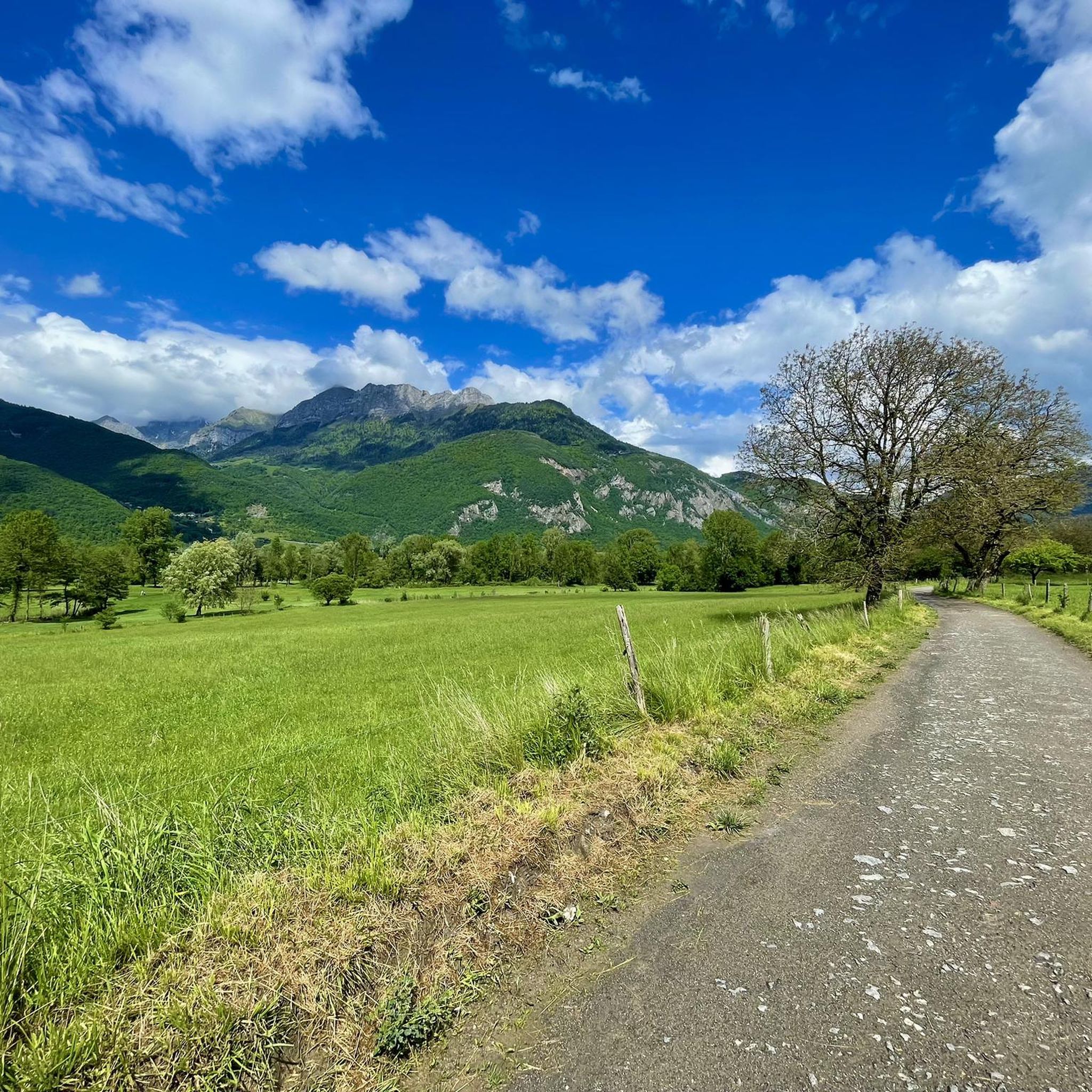
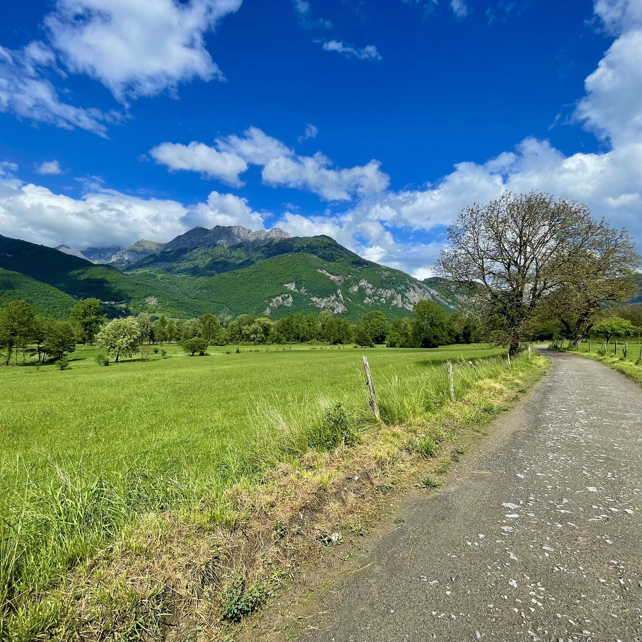
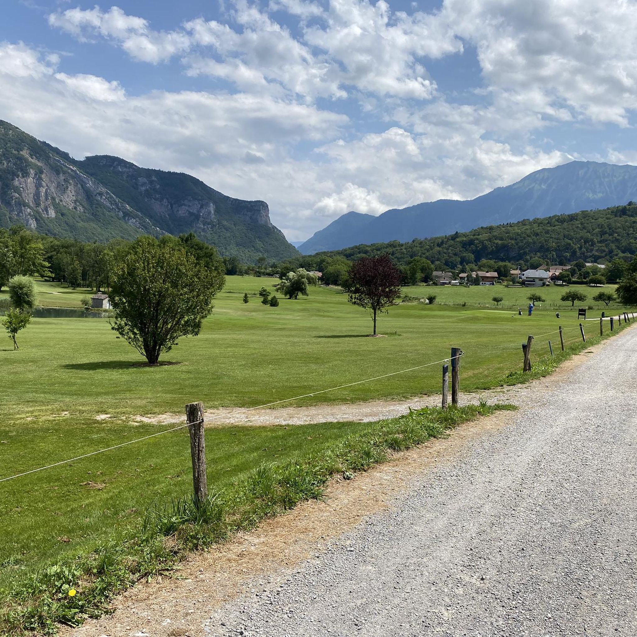
Mountaineering around Giez offers access to the diverse terrain of the Regional Natural Park of the Bauges, characterized by its protected mountainous landscapes and varied elevations. The area is defined by numerous mountainous peaks and passes, providing a rich backdrop for exploration. Its proximity to Lake Annecy also allows for routes with expansive views of the lake and surrounding mountains. This region presents a compelling environment for mountaineers seeking challenging ascents and scenic trails.
Best mountaineering routes around Giez
- The most popular mountaineering route is Col de la Forclaz loop from Doussard, a 6.0 miles (9.6 km) trail that takes 4 hours 30 minutes to complete. This moderate route offers panoramic views, including glimpses of Lake Annecy.
- Another top favourite among local mountaineers is Mountain Cow loop from Seythenex, a moderate 6.0 miles (9.7 km) path. This route winds through the heart of the Bauges Mountains, showcasing the natural features of the protected park.
- Local mountaineers also love the Col de la Forclaz loop from Lathuile, a 9.4 miles (15.2 km) trail leading through mountainous terrain, often completed in about 6 hours 6 minutes.
- Mountaineering around Giez is defined by mountainous peaks, protected natural park landscapes, and views of Lake Annecy. The network offers options for both moderate and difficult ability levels.
- The routes in Giez are highly rated by the komoot community with an average score of 4.7 stars from over 60 reviews. More than 400 mountaineers have used komoot to explore Giez's varied terrain.
Last updated: June 27, 2026
4.7
(3)
42
hikers
9.45km
04:25
660m
660m
Moderate mountaineering route. Good fitness required. Mostly accessible paths. Sure-footedness required.
3.0
(1)
32
hikers
10.0km
04:34
890m
890m
Moderate mountaineering route. Good fitness required. Mostly accessible paths. Sure-footedness required.

Sign up for free
5.0
(1)
13
hikers
15.5km
06:10
840m
830m
Hard mountaineering route. Very good fitness required. Mostly accessible paths. Sure-footedness required.
4.7
(3)
11
hikers
14.7km
06:43
1,010m
1,010m
Hard mountaineering route. Very good fitness required. Sure-footedness, sturdy shoes and alpine experience required.
10
hikers
12.3km
05:20
990m
990m
Hard mountaineering route. Very good fitness required. Sure-footedness, sturdy shoes and alpine experience required.
Get access to more routes and recommendations from other explorers.
Sign up for free
Already have an account?
Our route recommendations are based on thousands of hikes, rides, and runs completed by other people on komoot.
Start today with a free account
Your next adventure awaits.
Login or Signup

Tips from the Community

A magnificent sea of clouds as the lake is under a blanket of pea fog
0
0

Located at an altitude of 1,150 meters, the Col de la Forclaz offers a superb view overlooking Lake Annecy and the surrounding peaks. An incredible spot!
1
0
Plan on having a good cardio to brave the 10 km climb
0
0
Great hike. Summer, late morning. A bit chilly at times. 2 or 3 difficult sections. Good physical condition required.
0
0

Indeed, very dangerous and quite incompatible because of the many hikers. Many passages were impassable for us! You have to be an expert +++++++++
1
0

Superb view of Lake Annecy but crowded on weekends.
0
0

Narrow at the top and technical at the bottom, flow trail with fast sections. Watch out for hikers.
0
0

Located on the heights of Lake Annecy, this family-friendly resort is open winter and summer. Among the sports facilities are cycling trails that lead to discovering local heritage and expertise.
0
0
Frequently Asked Questions
How many mountaineering routes are available around Giez?
There are over 39 mountaineering routes around Giez, offering a wide range of options for exploration. These include 14 moderate routes and 25 difficult routes, ensuring there's something for various skill levels.
What do other mountaineers say about the routes in Giez?
The mountaineering routes around Giez are highly regarded by the komoot community, boasting an average rating of 4.7 stars from over 60 reviews. More than 400 mountaineers have already explored this diverse terrain, often praising the stunning views and the challenging yet rewarding ascents.
When is the best time for mountaineering in Giez?
The best time for mountaineering in Giez is generally during the spring, summer, and early autumn months when the weather is more stable and trails are clear of snow. The region's diverse landscape, including the Bauges Mountains and proximity to Lake Annecy, offers beautiful conditions during these seasons. Winter mountaineering is also possible but requires specific gear and experience due to snow and ice conditions.
Are there any easy mountaineering routes for beginners in Giez?
While Giez is known for its challenging terrain, there are 14 moderate mountaineering routes that can be suitable for beginners looking to gain experience. For example, the Col de la Forclaz loop from Doussard is a moderate 9.6 km trail offering panoramic views, including glimpses of Lake Annecy, and takes about 4 hours 30 minutes to complete.
What about more challenging mountaineering routes for experienced climbers?
For experienced mountaineers, Giez offers 25 difficult routes. A challenging option is the Mont Trélod (2,181 m) – Dent des Portes loop from Bauges Mountains, a 13.4 km route with significant elevation gain, typically taking over 6 hours to complete. Another demanding trail is the Crêt des Mouches loop from Montmin, which covers 14.6 km and involves over 1000 meters of ascent.
Are there any circular mountaineering routes in Giez?
Yes, many mountaineering routes around Giez are designed as loops, allowing you to start and finish at the same point. Examples include the popular Mountain Cow loop from Seythenex, a moderate 9.7 km path winding through the Bauges Mountains, and the more challenging Col de la Forclaz loop from Lathuile, a 15.2 km trail.
Can I bring my dog on mountaineering trails in Giez?
Many trails in the Giez area, particularly within the Regional Natural Park of the Bauges, are dog-friendly. However, it's always advisable to check specific trail regulations, especially concerning protected areas or private lands. Ensure your dog is well-behaved, kept on a leash where required, and that you carry out all waste to preserve the natural environment.
Are there family-friendly mountaineering options around Giez?
While many mountaineering routes are demanding, some of the moderate trails can be adapted for families with older children who have some hiking experience. The region also offers numerous general hiking and walking paths that are less strenuous and more suitable for younger families, especially around Lake Annecy or the Marshes of Giez. Always check the distance and elevation gain to ensure it matches your family's ability.
What natural features or landmarks can I expect to see on mountaineering routes around Giez?
Mountaineering routes around Giez offer stunning natural features. You can expect panoramic views of Lake Annecy, especially from routes near the Col de la Forclaz. The trails also traverse the protected landscapes of the Regional Natural Park of the Bauges, known for its biodiversity. Notable peaks like Pointe de la Rochette and La Belle-Étoile are prominent features. The area is also home to dramatic gorges like the Gorges du Fier and the beautiful Cascade d'Angon.
Are there any huts or refuges along the mountaineering routes in Giez?
Yes, there are several huts and refuges in the vicinity of Giez that can provide a resting point or overnight stay on longer mountaineering trips. Notable options include Chalet de l'Aulp, Pré Vérel Refuge, and Drison Refuge. These can be excellent points to refuel and enjoy the mountain atmosphere.
Can I combine mountaineering with views of Lake Annecy?
Absolutely! Giez's proximity to Lake Annecy means many mountaineering routes offer breathtaking views of the lake and its surrounding mountains. The Col de la Forclaz loop from Doussard is a prime example, providing stunning vistas of Lake Annecy from elevated positions. The Col de la Forclaz itself is a renowned viewpoint and paragliding launch site, easily accessible from several routes.
Where can I find parking for mountaineering routes near Giez?
Parking is generally available at or near the trailheads of popular mountaineering routes around Giez. For routes starting from villages like Doussard, Seythenex, or Lathuile, you can often find designated parking areas. It's recommended to arrive early during peak season to secure a spot, especially for popular starting points like those leading to Col de la Forclaz.
Is it possible to reach mountaineering trailheads by public transport from Giez?
While Giez itself is a small village, public transport options are available to reach some of the larger towns surrounding Lake Annecy, from which certain trailheads might be accessible. However, direct public transport to remote mountaineering trailheads can be limited. It's advisable to check local bus schedules for connections to Doussard, Lathuile, or other starting points, and consider carpooling or taxis for less accessible areas.
Most popular attractions around Giez

Get inspired with the komoot mobile app


Explore more
Browse the best Mountain Hikes & Routes in other regions.
