The best walks and hikes around Franclens
4.4
(494)
3,825
hikers
146
hikes
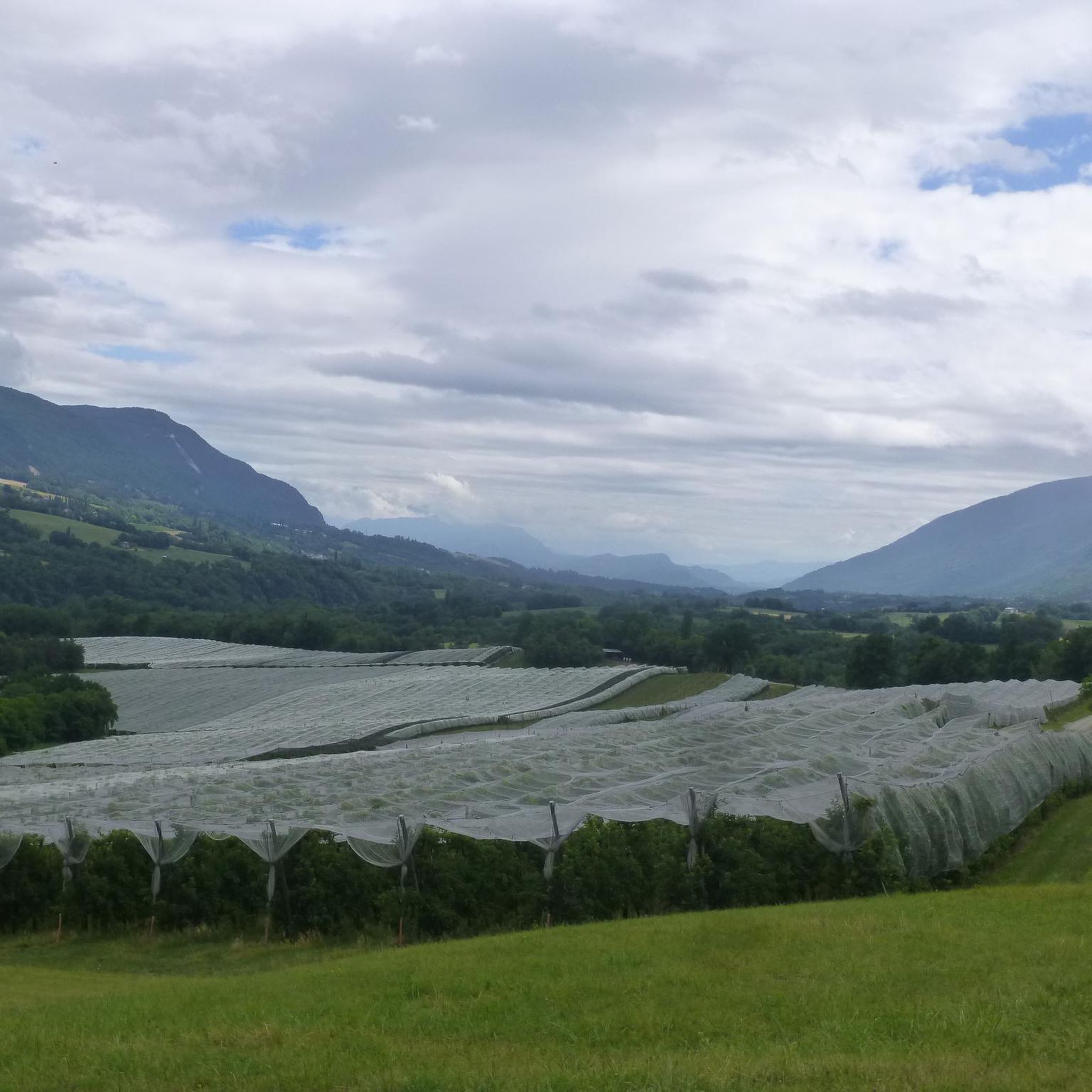
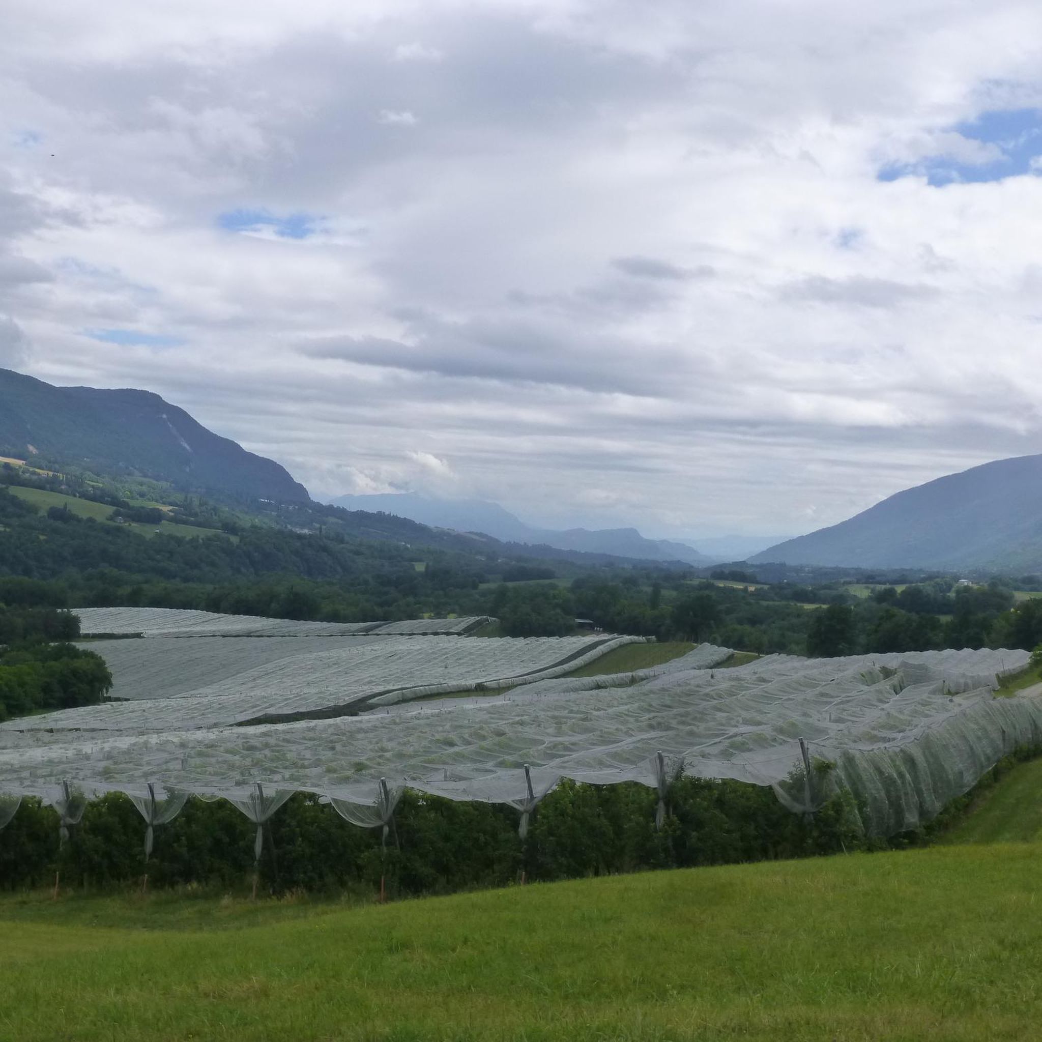
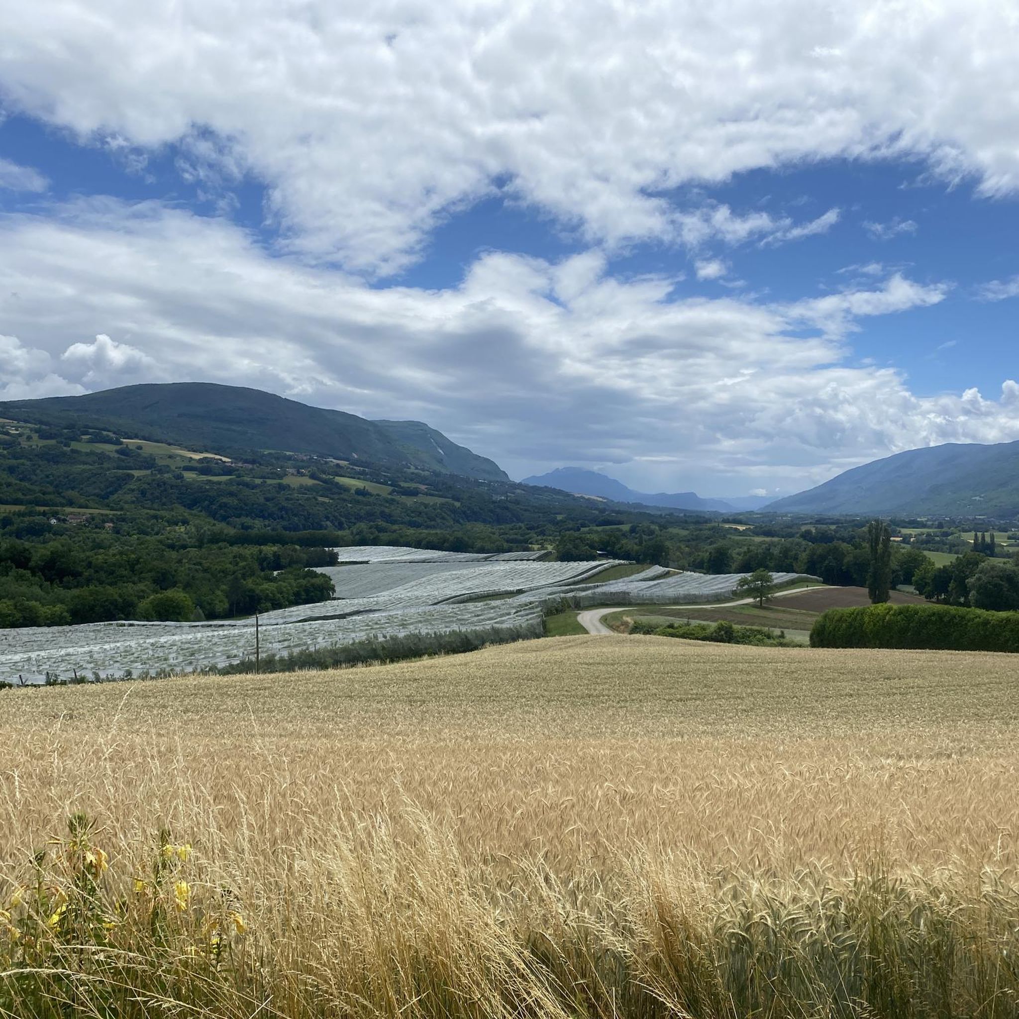
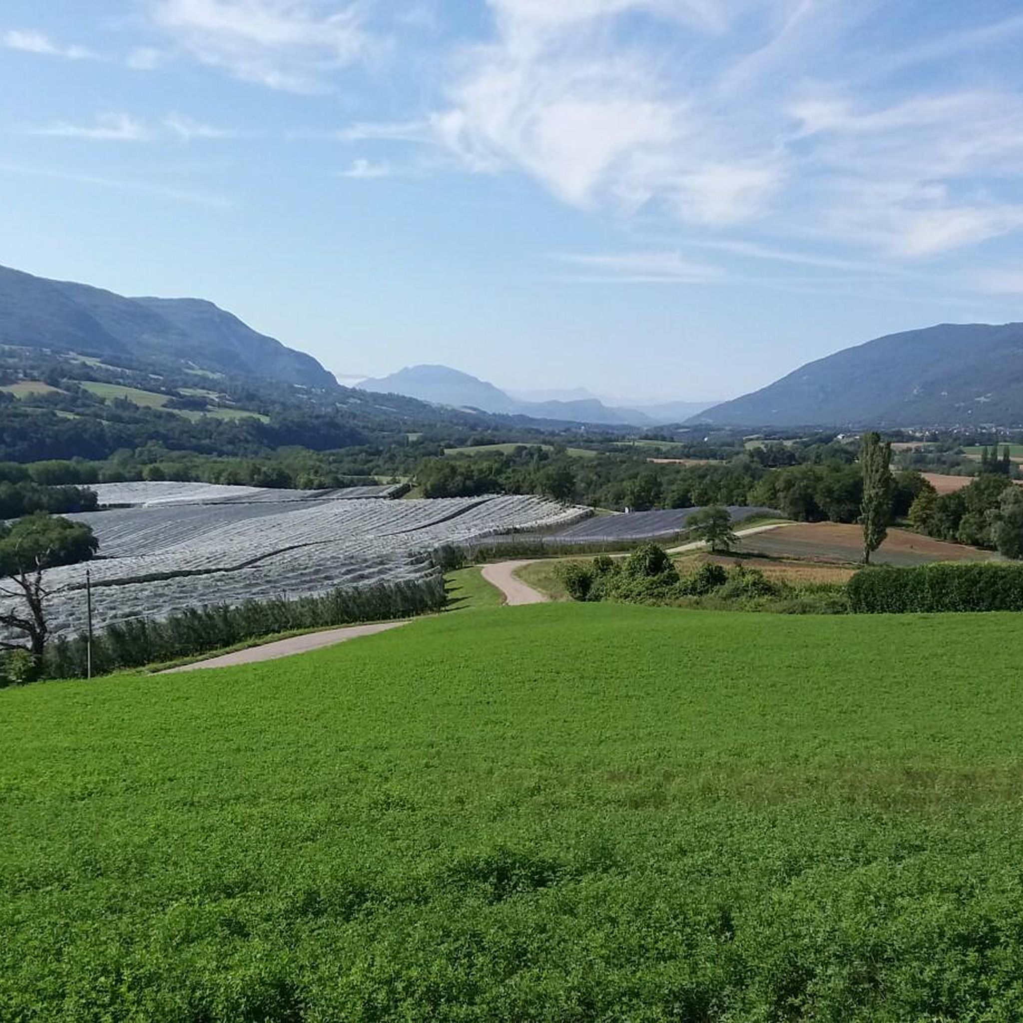
Hiking around Franclens offers access to diverse landscapes in the Haute-Savoie department, characterized by its proximity to the French Alps. The region features a mix of mountainous terrain, deep gorges, and the significant Rhône River, alongside dense forests and plateaus. Hikers can explore varied environments, from riverbanks to elevated routes, providing a range of experiences.
Best hiking trails around Franclens
- The most popular hiking route is Pain de Sucre Waterfall loop from Challonges, a 5.6 miles (9.0 km) trail…
Last updated: July 11, 2026
4.8
(5)
39
hikers
8.99km
02:40
260m
260m
Moderate hike. Good fitness required. Easily-accessible paths. Suitable for all skill levels.
5.0
(1)
37
hikers
14.8km
04:24
430m
430m
Moderate hike. Good fitness required. Easily-accessible paths. Suitable for all skill levels.

Sign up for free
4.0
(2)
19
hikers
6.01km
01:52
210m
210m
Easy hike. Great for any fitness level. Easily-accessible paths. Suitable for all skill levels.
4.0
(2)
16
hikers
11.4km
03:52
540m
540m
Moderate hike. Good fitness required. Mostly accessible paths. Sure-footedness required.
3.7
(3)
20
hikers
3.86km
01:17
180m
180m
Easy hike. Great for any fitness level. Easily-accessible paths. Suitable for all skill levels.
Get access to more routes and recommendations from other explorers.
Sign up for free
Already have an account?
Our route recommendations are based on thousands of hikes, rides, and runs completed by other people on komoot.
Start today with a free account
Your next adventure awaits.
Login or Signup

Tips from the Community

amazing, be careful it's slippery, get off the mountain bike for this visit
0
0

water point
0
1

Be careful, the small 1-hour loop is NOT EASY. Not at all for all physical conditions despite what is indicated. There are several passages with a lot of elevation. I am used to walking but I would not do it again.
0
0

Carved piece of road in the rocks. Spectacular and easily accessible.
0
0

Regular climb, on one side or the other. Be careful, however, if you arrive at the top in "limit": there are two "passes" which follow one another in two km, this can give a little blow to morale when the legs respond less well 😉
2
0

This hike allows you to see the relief around the Rhône. With sunshine or gray weather, the rhythm and the panorama fill us.
0
0

A pleasant section of the ViaRhôna between Vulbens and Seyssel. This section deviates from the river and climbs towards Clarafond.
0
0

If you walk across the small bridge, the stream immediately disappears into a crevice in the ground. It is only when you walk a few meters further that you see which gorge the inconspicuous brook has washed over hundreds, even thousands of years before it flows into the Rhone shortly afterwards.
0
0
Frequently Asked Questions
What kind of terrain can I expect when hiking around Franclens?
Hiking around Franclens offers a diverse range of terrain. You'll find mountainous paths, deep gorges carved by rivers like the Valserine, and dense forests. The region is part of the Haute-Savoie department, known for its extensive network of footpaths traversing mountains, valleys, and plateaus. Routes can vary from easy riverside strolls along the Rhône to more challenging elevated trails.
Are there any hikes with waterfalls or significant natural features near Franclens?
Yes, the area boasts several impressive natural features. You can explore trails that lead to waterfalls, such as the one featured in the Pain de Sucre Waterfall loop from Challonges. Additionally, the dramatic Pertes de la Valserine, where the Valserine river has carved deep canyons, offers scenic routes. The region also features unique geological formations like the Platé Desert, though it's more remote and accessible on foot at higher altitudes.
What are some family-friendly hiking options around Franclens?
While specific family-friendly routes aren't detailed, the region offers a variety of easy trails suitable for families. For instance, the La Tine de Parrant loop from Éloise is an easy 3.8 km hike. Generally, riverside paths along the Rhône or trails through less steep forest areas would be good choices for families looking for a gentler experience.
Can I bring my dog on hikes in Franclens?
Many trails in the Franclens area are suitable for dogs, especially those through forests and along riverbanks. However, it's always recommended to keep dogs on a leash, particularly in nature reserves or areas with livestock, and to check local regulations for specific trails. Always ensure your dog is well-behaved and that you carry waste bags.
Are there any circular hiking routes available?
Yes, several circular routes are popular in the area. For example, the Pain de Sucre Waterfall loop from Challonges is a moderate 9 km circular trail. Another option is the La Tine de Parrant – Leaz to Eloise loop from Éloise, which is a longer, moderate 14.8 km loop, offering varied terrain and natural features.
What historical landmarks or points of interest can I see while hiking near Franclens?
The region around Franclens is rich in history. You can encounter landmarks such as the Old bridge of Seyssel, a historic suspension bridge over the Rhône. Further afield, Fort l'Écluse, an impressive historic building, is also nearby and can be viewed from certain trails, offering a glimpse into the area's past.
How many hiking trails are there in the Franclens area?
There are over 150 hiking routes available around Franclens, catering to various skill levels. This includes approximately 40 easy trails, 94 moderate trails, and 16 difficult routes, ensuring options for every hiker.
What do other hikers say about the trails in Franclens?
The trails in Franclens are highly regarded by the komoot community, with an average rating of 4.4 stars from over 400 reviews. More than 3,500 hikers have used komoot to explore the varied terrain, often praising the scenic beauty, diverse landscapes, and well-maintained paths.
Is public transport available to reach trailheads around Franclens?
Franclens is situated in a region where public transport options might be limited for direct access to all trailheads. While major towns like Annecy and Seyssel are accessible, reaching specific, more remote starting points for hikes often requires a car. It's advisable to check local bus schedules or consider carpooling for trail access.
Are there places to eat or stay near the hiking trails in Franclens?
Franclens and its surrounding picturesque towns like Seyssel offer various amenities. You can find cafes, restaurants, and accommodation options in these villages, which can serve as convenient bases for your hiking adventures. It's recommended to check specific village offerings based on your chosen trailhead.
What is the best time of year to go hiking in Franclens?
The best time to hike in Franclens is typically from spring to autumn (April to October). During these months, the weather is generally mild and pleasant, making for ideal hiking conditions. Summer offers warmer temperatures, while spring and autumn provide beautiful foliage and fewer crowds. Winter hiking is possible but may require specialized gear due to snow and ice, especially at higher elevations.
Are there any easy hikes suitable for beginners near Franclens?
Yes, Franclens offers a good selection of easy hikes perfect for beginners. For example, the La Tine de Parrant loop from Éloise is an easy 3.8 km trail with minimal elevation gain. Another accessible option is the Leaz to Eloise – La Tine de Parrant loop from Éloise, which is 6 km and also rated easy.
Most popular routes around Franclens
Most popular attractions around Franclens

Get inspired with the komoot mobile app


Explore more
Browse the best Hikes in other regions.
