The best running trails around Saint-Germain-Sur-Rhône
4.5
(42)
2,299
runners
187
runs
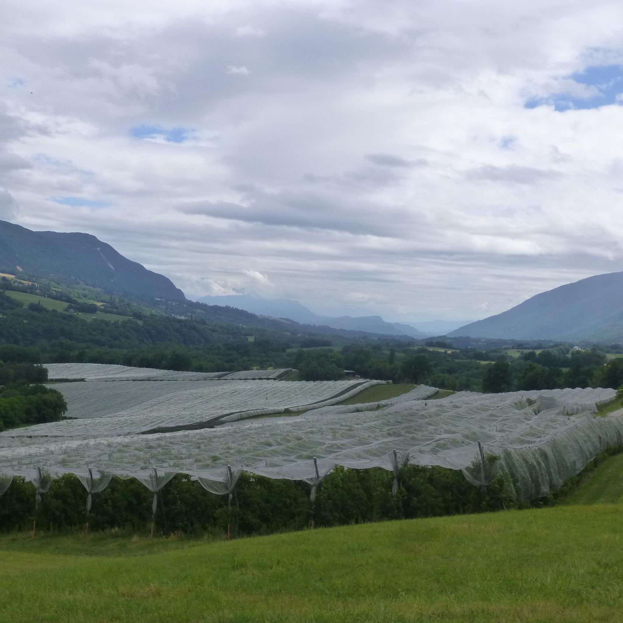
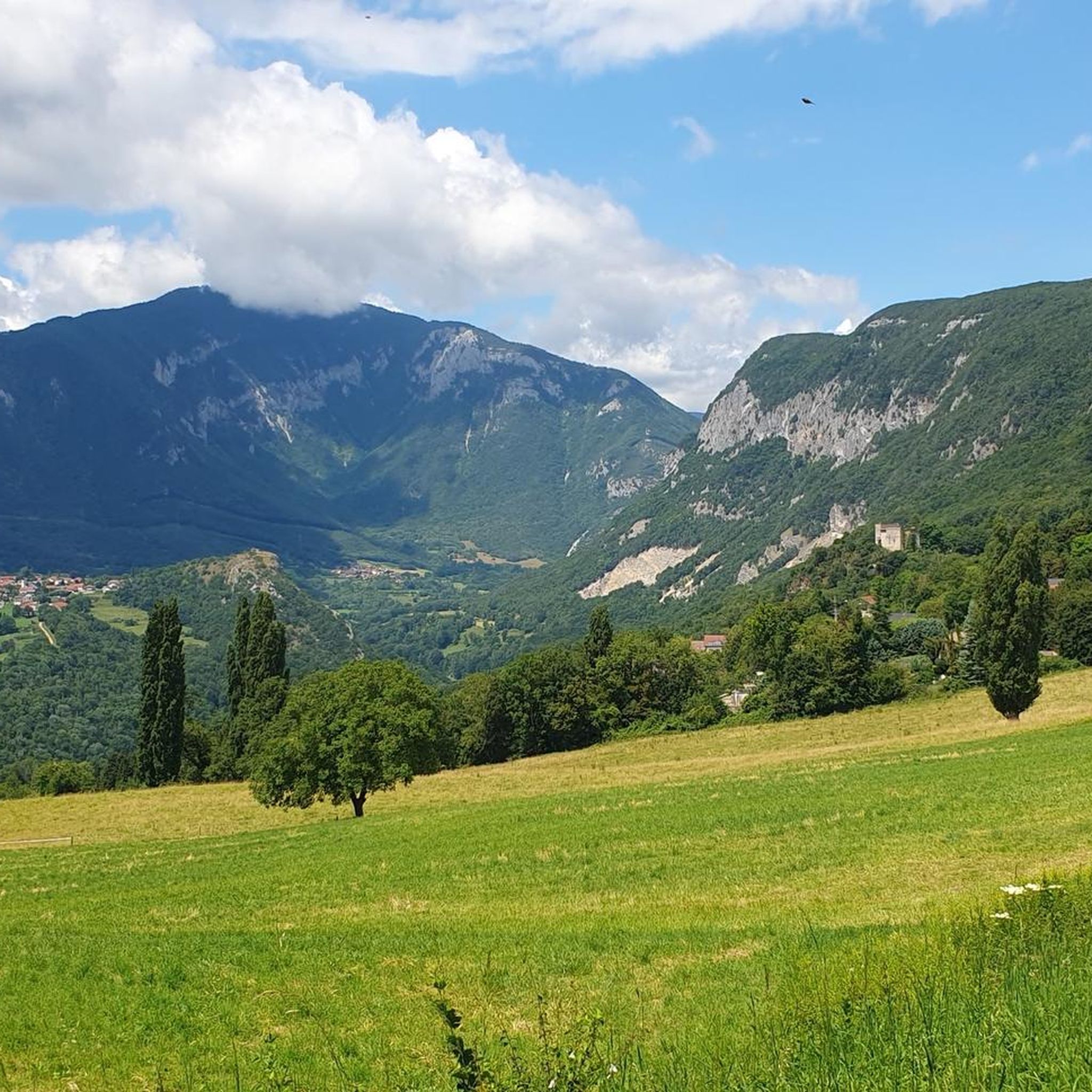
Jogging around Saint-Germain-Sur-Rhône, located in the Haute-Savoie department of eastern France, offers diverse running experiences. The region is characterized by its position on the Semine plateau, providing varied terrain from relatively flat stretches to routes with inclines. Proximity to the Rhône River and natural sites like the Valserine River and its gorges offers scenic backdrops for running. The commune's elevation ranges from 322 to 537 meters, contributing to a varied landscape suitable for different levels of jogging.
Best jogging routes…
Last updated: July 3, 2026
18
runners
10.1km
01:06
170m
170m
Moderate run. Good fitness required. Mostly paved surfaces. Suitable for all skill levels.
14
runners
19.2km
02:57
1,110m
1,120m
Hard run. Very good fitness required. Mostly paved surfaces. Suitable for all skill levels.

Sign up for free
11
runners
10.7km
01:09
80m
80m
Moderate run. Good fitness required. Mostly paved surfaces. Suitable for all skill levels.
11
runners
9.74km
01:02
110m
110m
Moderate run. Good fitness required. Mostly paved surfaces. Suitable for all skill levels.
6
runners
8.93km
01:02
260m
260m
Moderate run. Good fitness required. Mostly paved surfaces. Suitable for all skill levels.
Get access to more routes and recommendations from other explorers.
Sign up for free
Already have an account?
Our route recommendations are based on thousands of hikes, rides, and runs completed by other people on komoot.
Start today with a free account
Your next adventure awaits.
Login or Signup

Tips from the Community

Magnificent hike! So many beautiful landscapes as far as the eye can see
0
0

Completely destroyed by fire on February 9, 2026. Consider staying at the Chalet du Bizot instead.
1
0

If you turn around on this very beautiful dirt road, you can faintly see the village of Léaz which you have just left.
0
0

The Crêt du Milieu is accessed by a short path that branches off from the main GTJ trail. As at every summit in the area, the panorama is breathtaking!
4
0
The Crêt de la Goutte is located at an altitude of 1,621 meters and offers a superb view of the Alps, from Chablais to Écrins.
2
0
Frequently Asked Questions
How many running routes are available around Saint-Germain-Sur-Rhône?
There are over 170 running routes around Saint-Germain-Sur-Rhône, offering a wide range of options for all skill levels. These include 12 easy, 106 moderate, and 54 difficult trails.
What kind of terrain can I expect on the jogging trails in Saint-Germain-Sur-Rhône?
The terrain varies significantly. Situated on the Semine plateau, you'll find a mix of relatively flat stretches and routes with noticeable inclines. Many paths follow the scenic Rhône riverbanks, while others venture into natural sites like the Pertes de la Valserine, providing diverse running experiences.
Are there any circular running routes in the area?
Yes, many routes around Saint-Germain-Sur-Rhône are circular. For example, you could try the Running loop from Billiat, a moderate 10.1 km trail, or the Running loop from Chêne-en-Semine, which is 10.7 km long.
What natural features or landmarks can I see while running in Saint-Germain-Sur-Rhône?
The region is rich in natural beauty. You can enjoy views of the Rhône river, explore the unique Pertes de la Valserine, or discover the impressive Valserine Gorges. The historic Fort l'Écluse also offers a striking backdrop for some routes.
Are there any family-friendly running paths suitable for beginners?
Yes, there are 12 easy routes perfect for families or beginners. These trails generally feature less elevation gain and shorter distances, allowing for a more relaxed running experience amidst the beautiful scenery.
What is the best time of year for jogging in Saint-Germain-Sur-Rhône?
The gentle climate, particularly in spring and summer, is ideal for outdoor activities. Spring brings vibrant colors, while autumn offers beautiful golden hues, enhancing the running experience throughout the year. Always check local weather conditions before heading out.
Are there any challenging running routes for experienced runners?
Absolutely. For those seeking a greater challenge, there are 54 difficult routes available. A notable option is the Running loop from Saint-Germain-sur-Rhône, a 14.4 km trail with significant elevation changes.
What do other runners say about the trails in Saint-Germain-Sur-Rhône?
The running routes in Saint-Germain-Sur-Rhône are highly rated by the komoot community, with an average score of 4.3 stars from over 25 reviews. Runners often praise the varied terrain, scenic views, and the peaceful environment of the region.
Can I find routes that offer panoramic viewpoints?
Yes, the region, especially the Plateau de la Semine, is known for its panoramic views. The Belvédère des Lades loop from Lierna is an excellent example of a route that leads through varied natural features and often provides expansive vistas of the surrounding countryside.
Are there options for parking near the running trails?
While specific parking details for every route are not listed, the rural nature of Saint-Germain-Sur-Rhône and its surrounding communes generally means that parking is available near trailheads or in village centers, making access to the routes convenient.
Is public transport an option to reach the running trails?
Information on specific public transport links directly to trailheads is limited. However, Saint-Germain-Sur-Rhône is a commune in the Haute-Savoie department, and regional transport services may connect to the village, from which many trails are accessible.
Are the running trails suitable for dogs?
Many natural trails in rural areas like Saint-Germain-Sur-Rhône are generally dog-friendly, especially if kept on a leash. However, it's always recommended to check local regulations or specific route details for any restrictions before bringing your dog.
Most popular routes around Saint-Germain-Sur-Rhône
Most popular attractions around Saint-Germain-Sur-Rhône

Get inspired with the komoot mobile app


Explore more
Browse the best Running Trails & Routes in other regions.
