The best running trails around Sahurs
4.5
(98)
6,252
runners
11
runs
Jogging around Sahurs offers routes characterized by gentle elevation changes, making them suitable for various fitness levels. The region features a mix of open countryside and forested areas, including parts of the Forêt de Roumare. These running routes provide opportunities to explore the local landscape without significant climbs. The terrain generally consists of well-maintained paths and trails, ideal for consistent running.
Best jogging routes around Sahurs
- The most popular jogging route is Ball tank – Solocours loop from Sahurs,…
Last updated: May 24, 2026
27
runners
15.7km
01:38
20m
20m
Hard run. Very good fitness required. Mostly paved surfaces. Suitable for all skill levels.
7
runners
12.3km
01:19
80m
80m
Moderate run. Good fitness required. Mostly paved surfaces. Suitable for all skill levels.

Sign up for free
7
runners
13.8km
01:29
90m
90m
Moderate run. Good fitness required. Mostly paved surfaces. Suitable for all skill levels.
4
runners
7.07km
00:50
80m
80m
Moderate run. Good fitness required. Mostly paved surfaces. Suitable for all skill levels.
4
runners
10.9km
01:14
100m
100m
Moderate run. Good fitness required. Mostly paved surfaces. Suitable for all skill levels.
Get access to more routes and recommendations from other explorers.
Sign up for free
Already have an account?
Our route recommendations are based on thousands of hikes, rides, and runs completed by other people on komoot.
Start today with a free account
Your next adventure awaits.
Login or Signup

Tips from the Community

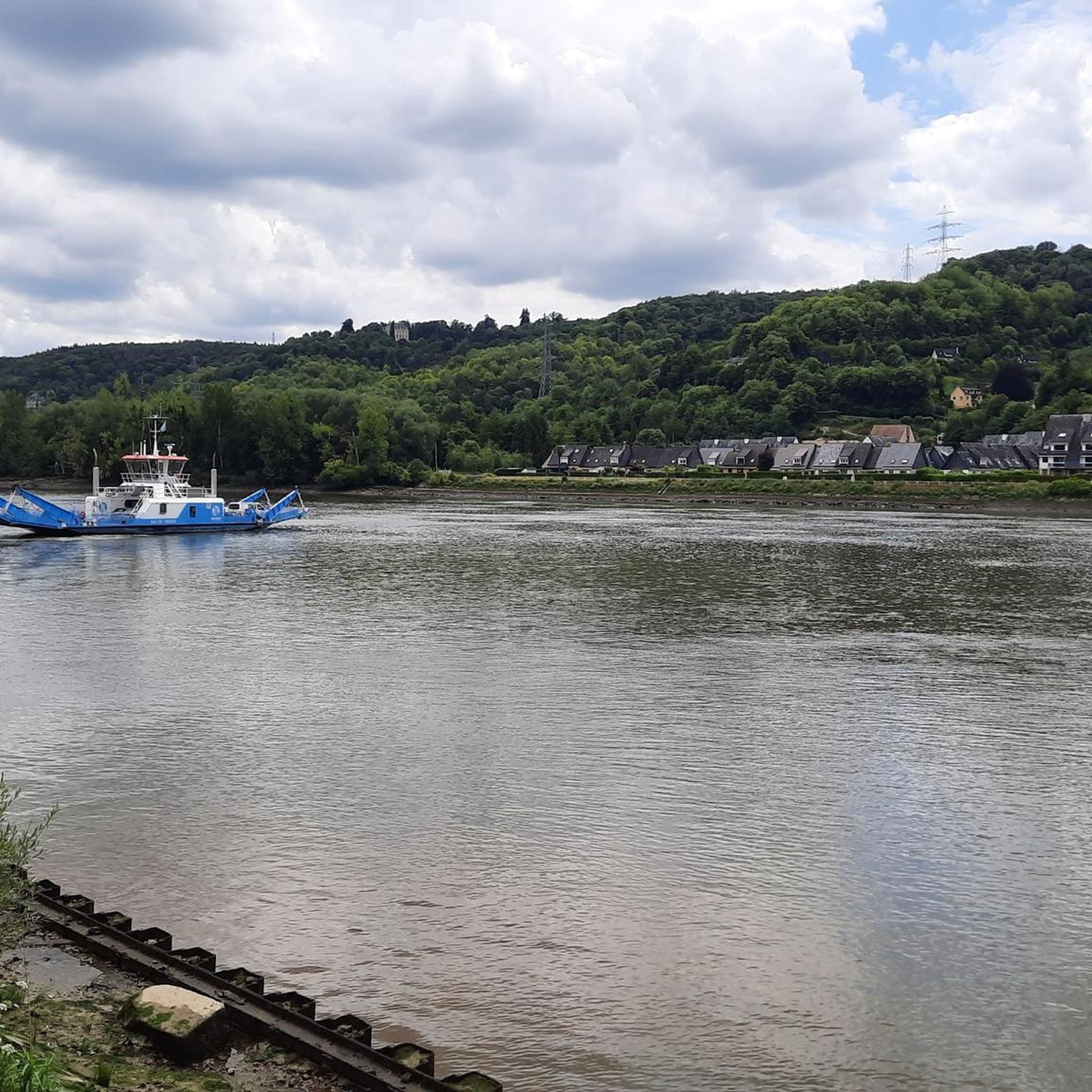
Crossing every 20 minutes during the day. No crossing during lunch break
1
0

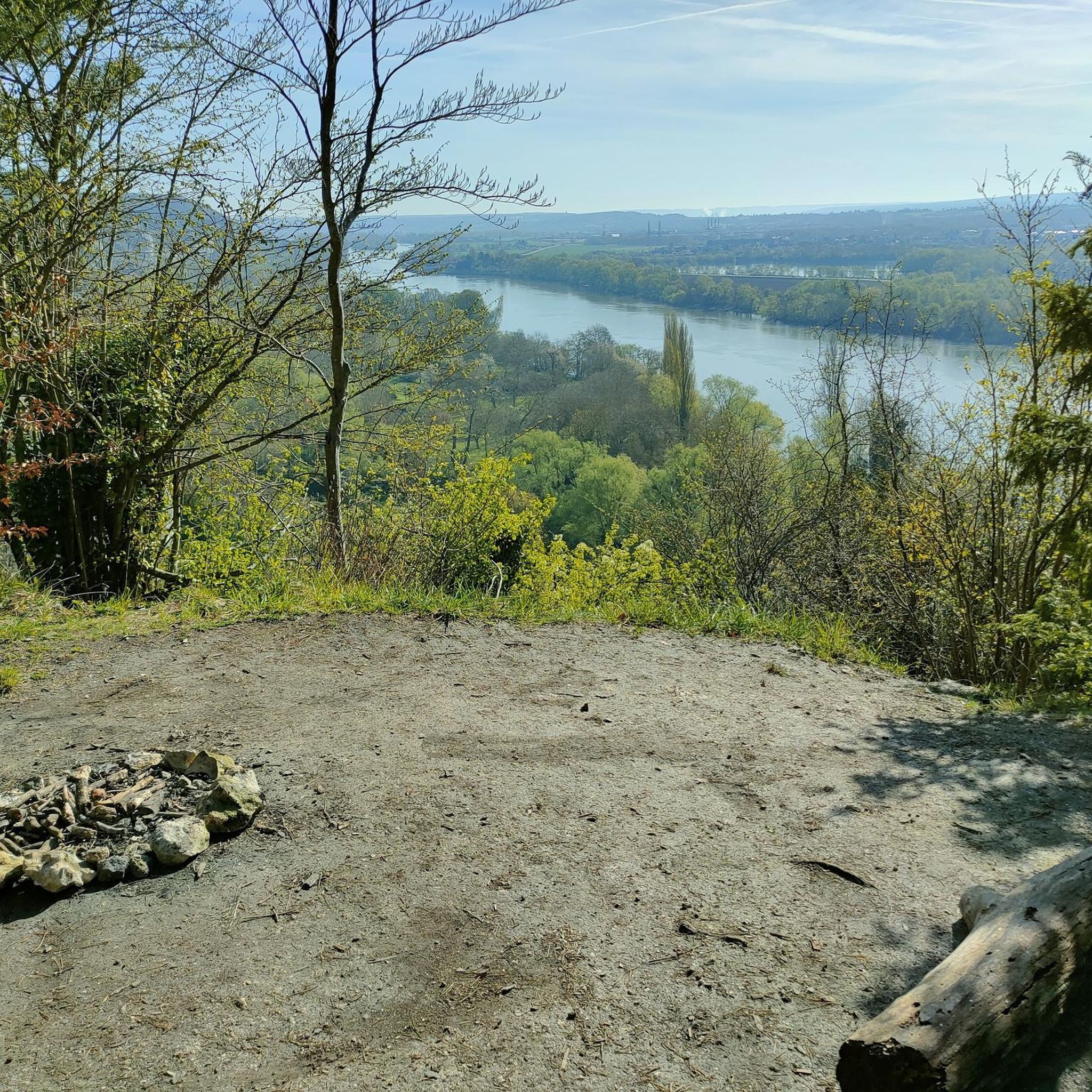
On the banks of the Seine, on a good cycle path, you can appreciate the tranquility of the place.
0
0

Frequently Asked Questions
What is the typical terrain like for running routes around Sahurs?
Running routes in Sahurs are characterized by gentle elevation changes, making them suitable for various fitness levels. The landscape features a mix of open countryside and forested areas, including parts of the Forêt de Roumare. The terrain generally consists of well-maintained paths and trails, ideal for consistent running.
Are there running routes for different fitness levels in Sahurs?
Yes, Sahurs offers a variety of running routes catering to different abilities. While there are no easy routes, you'll find 8 moderate and 2 difficult trails. This ensures options for both casual joggers and more experienced runners looking for a challenge.
How many running trails are available in Sahurs?
There are 10 distinct running trails around Sahurs documented on komoot, offering a good selection for exploring the region on foot.
What do other runners enjoy most about jogging in Sahurs?
The running routes in Sahurs are highly rated by the komoot community, with an average score of 4.4 stars from over 90 reviews. Runners often praise the varied terrain, which includes gentle hills and forested sections, providing an enjoyable experience for over 6000 visitors.
Are there any circular running routes in Sahurs?
Yes, many of the running routes in Sahurs are circular. For example, the Ball tank – Solocours loop from Sahurs is a popular 9.7-mile (15.7 km) option, and the Ball tank loop from Sahurs covers 8.6 miles (13.8 km) through varied terrain.
Can I find running routes that pass through the Forêt de Roumare?
Absolutely. The region's running routes often include sections of the Forêt de Roumare. A notable option is the Forêt de Roumare – Château de Trémauville loop from Sahurs, which is a moderate 6.8-mile (10.9 km) trail.
Are there any interesting landmarks or viewpoints along the running trails near Sahurs?
While running, you can discover several interesting points of interest. Consider routes that pass near the Londe-Rouvray State Forest or offer a View of a Meander of the Seine. Other nearby attractions include the White cliffs, the Roches d'Orival.
What are some longer distance running options in Sahurs?
For longer runs, the Ball tank – Solocours loop from Sahurs is a great choice, spanning 9.7 miles (15.7 km) with minimal elevation gain. Another substantial option is the Ball tank loop from Sahurs, which is 8.6 miles (13.8 km) long.
Are there any running routes that start directly from the Forêt de Roumare?
Yes, you can find routes that begin within or very close to the forest. The Running loop from Forêt de Roumare is a moderate 4.4-mile (7.1 km) trail that offers a good starting point for exploring the forest.
What kind of natural features can I expect to see while running in Sahurs?
The running routes in Sahurs offer a blend of natural beauty, including open countryside, dense forested sections, and gentle hills. You might also encounter views of the Seine River, such as the View of a Meander of the Seine, and the distinctive White cliffs, the Roches d'Orival.
Are there any historical sites or settlements near the running trails in Sahurs?
Yes, the area around Sahurs is rich in history. While running, you could be close to sites like the Ruins of Jumièges Abbey or the charming settlement of La Bouille. The Orival Troglodyte Caves also offer a unique historical perspective.
Most popular attractions around Sahurs

Get inspired with the komoot mobile app


Explore more
Browse the best Running Trails & Routes in other regions.
