The best walks and hikes around Lornay
4.5
(404)
3,166
hikers
161
hikes
Hiking around Lornay offers diverse landscapes in the Haute-Savoie department of France, characterized by mountainous terrain and views of the Alps. The region features modest peaks like Mont des Princes, Mont Clergeon, and Gros Foug, providing panoramic vistas. Trails often follow the Fier River and offer perspectives of the Rhône Valley, winding through forests and open fields.
Best hiking trails around Lornay
- The most popular hiking route is Mont des Princes – Princes' Mountain loop from Crempigny-Bonneguête, a 4.9…
Last updated: June 27, 2026
4.7
(14)
135
hikers
7.90km
02:49
460m
460m
Moderate hike. Good fitness required. Easily-accessible paths. Suitable for all skill levels.
4.6
(5)
14
hikers
6.67km
01:49
100m
100m
Easy hike. Great for any fitness level. Easily-accessible paths. Suitable for all skill levels.

Sign up for free
18
hikers
6.69km
02:34
470m
470m
Moderate hike. Good fitness required. Easily-accessible paths. Suitable for all skill levels.
5
hikers
11.1km
03:00
140m
140m
Moderate hike. Good fitness required. Easily-accessible paths. Suitable for all skill levels.
5
hikers
18.1km
06:24
990m
990m
Hard hike. Very good fitness required. Easily-accessible paths. Suitable for all skill levels.
Get access to more routes and recommendations from other explorers.
Sign up for free
Already have an account?
Our route recommendations are based on thousands of hikes, rides, and runs completed by other people on komoot.
Start today with a free account
Your next adventure awaits.
Login or Signup

Tips from the Community

in Seyssel follow the via Rhône-Alpes
0
0

A little respite between two steep climbs
0
0

technical but beautiful point of view
0
0
To do by bike, hike
0
0

“Each of these crosses can tell its own story and what prompted people to erect “their” cross at this point. (...) These wayside crosses were erected as visible signs and attract the attention of many people. The cross is a symbol of life. It stands as a sign of our Christian hope and wants to direct our gaze to Jesus Christ, who has overcome death (...). The cross is part of our life as it was in the life of Jesus. So I wish that many people … visit the crosses, whether as places of stillness and breathing space before God, whether as places for community gatherings, prayer and praise to God.” (Text source: Dean Rainald M. Ollig in: "Crossroads... small sacred monuments as a sign of popular piety")
2
3


Here, we cross the Fier, and we pass from Savoie to Haute-Savoie, or vice versa!
0
0

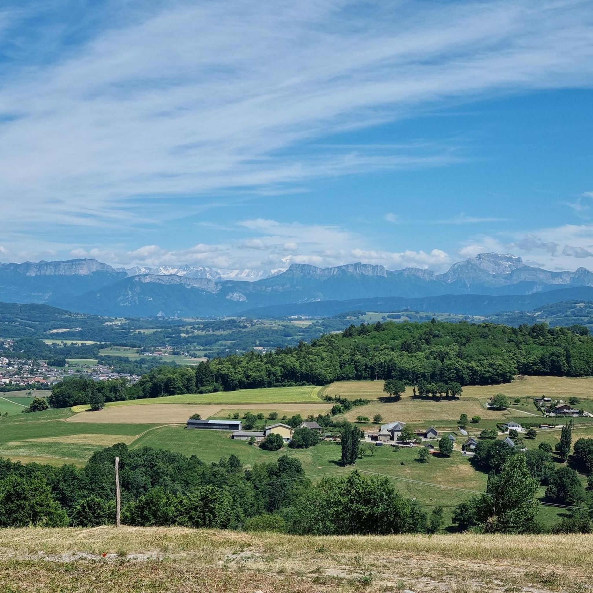
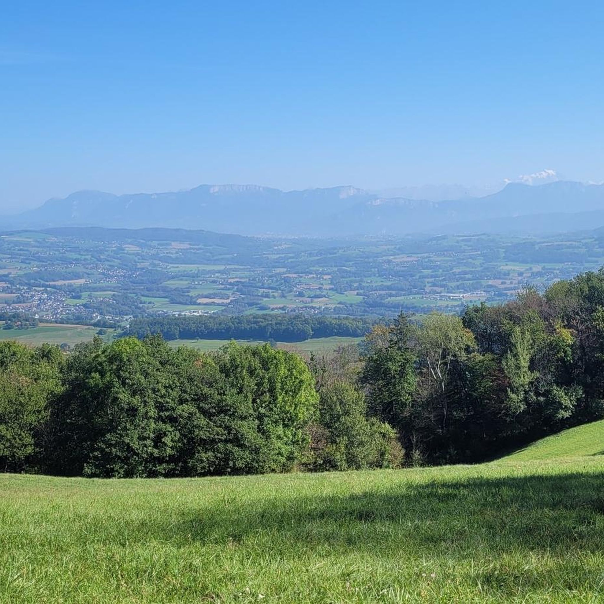
The Mont des Princes is a historic place of resistance against the Italo-German occupation and is a must in the region. On a clear day, the extensive view of the Alps is worth the climb.
1
0
Frequently Asked Questions
What kind of terrain can I expect on hiking trails around Lornay?
The Lornay region is characterized by diverse terrain, ranging from mountainous landscapes with peaks like Mont des Princes, Mont Clergeon, and Gros Foug, to trails winding through forests, open fields, and along the Fier River. You'll find paths offering panoramic views of the Alps and the Rhône Valley, as well as more gentle routes through the countryside.
How many hiking trails are available in the Lornay area?
There are nearly 170 hiking routes available around Lornay. This includes a wide variety of options, with over 60 easy trails, around 90 moderate routes, and 18 more challenging hikes, ensuring something for every fitness level.
Are there any family-friendly hiking options in Lornay?
Yes, Lornay offers several easy hikes suitable for families. For example, the Hiking loop from Vallières is an easy 6 km route with minimal elevation gain, perfect for a relaxed family outing. Many trails wind through fields and woods, providing a peaceful experience for all ages.
What are some notable natural features or landmarks to see while hiking in Lornay?
Hikers can enjoy stunning views from peaks like Mont des Princes, Mont Clergeon, and Gros Foug, offering panoramas of the Alps and the Rhône Valley. The Fier River is a prominent natural feature, with many trails running alongside its banks. You can also explore the Fier Gorge, a dramatic natural monument. For a unique botanical experience, consider visiting Les Jardins de Lornay.
Are there any circular hiking routes around Lornay?
Yes, many routes around Lornay are circular. A popular moderate option is the Mont des Princes – Princes' Mountain loop from Crempigny-Bonneguête, which offers great views. For a more challenging circular hike, the Roman tower – Fier Bridge loop from Lornay is an 18 km trail with significant elevation gain.
What do other hikers say about the trails in Lornay?
The hiking trails in Lornay are highly regarded by the komoot community, holding an average rating of 4.5 stars from over 360 reviews. Hikers often praise the diverse landscapes, the stunning views of the Alps and Rhône Valley, and the variety of routes available for different skill levels.
Is there parking available at the trailheads in Lornay?
While specific parking details for every trailhead are not always listed, many popular starting points for hikes, such as those near Crempigny-Bonneguête for Mont des Princes loops, typically have designated parking areas. It's advisable to check local signage upon arrival.
Can I reach hiking trails in Lornay using public transport?
Lornay is a commune in Haute-Savoie, and while public transport options exist within the region, direct access to all trailheads might be limited. For specific routes, especially those starting from smaller villages like Crempigny-Bonneguête or Vallières, a car is often the most convenient way to reach the starting point. It's recommended to check local bus schedules for connections to Lornay and surrounding areas.
Are there any challenging hikes for experienced hikers in Lornay?
Absolutely. For experienced hikers, there are 18 difficult routes available. A notable challenging option is the Roman tower – Fier Bridge loop from Lornay, an 18 km trail with over 1,000 meters of elevation gain, requiring very good fitness and typically taking over 6 hours to complete.
What are the highest points I can reach on a hike in Lornay?
You can reach several notable peaks offering excellent views. Mont des Princes, at around 935 meters, provides exceptional views of the Alps. Mont Clergeon and Gros Foug, both over 1000 meters, also offer lovely belvederes with views over the Alps and the Bugey region.
Are there any specific attractions near Lornay that are worth visiting after a hike?
Beyond the trails, you might enjoy a visit to Les Jardins de Lornay, a unique botanical garden offering a peaceful experience among various bamboo species. Additionally, the region is close to Annecy and Lake Annecy, which are popular destinations for further exploration.
Most popular attractions around Lornay

Get inspired with the komoot mobile app


Explore more
Browse the best Hikes in other regions.
