The best running trails around Les Contamines-Montjoie
4.6
(66)
8,541
runners
76
runs
Jogging routes around Les Contamines-Montjoie are set within a preserved natural environment at the foot of the Mont Blanc massif, offering diverse landscapes for runners. The region features a vast Nature Reserve covering over 5,500 hectares, characterized by coniferous forests, alpine pastures, peat bogs, streams, and lakes. Runners can experience varied terrain, from well-marked mountain paths to routes extending towards snowfields and glaciers. The area provides panoramic views of the Mont Blanc Massif and the Aravis range.
Best jogging routes…
Last updated: August 28, 2026
5.0
(2)
404
runners
Hard run. Good fitness required. Sure-footedness, sturdy shoes and alpine experience required.
5.0
(1)
307
runners
30.0km
05:09
1,620m
1,620m
Hard run. Very good fitness required. Sure-footedness, sturdy shoes and alpine experience required.

Sign up for free
5.0
(2)
550
runners
Hard run. Good fitness required. Sure-footedness, sturdy shoes and alpine experience required.
3.5
(2)
134
runners
Hard run. Very good fitness required. Sure-footedness, sturdy shoes and alpine experience required.
5.0
(3)
128
runners
Hard run. Very good fitness required. Sure-footedness, sturdy shoes and alpine experience required.
Get access to more routes and recommendations from other explorers.
Sign up for free
Already have an account?
Our route recommendations are based on thousands of hikes, rides, and runs completed by other people on komoot.
Start today with a free account
Your next adventure awaits.
Login or Signup
Popular around Les Contamines-Montjoie
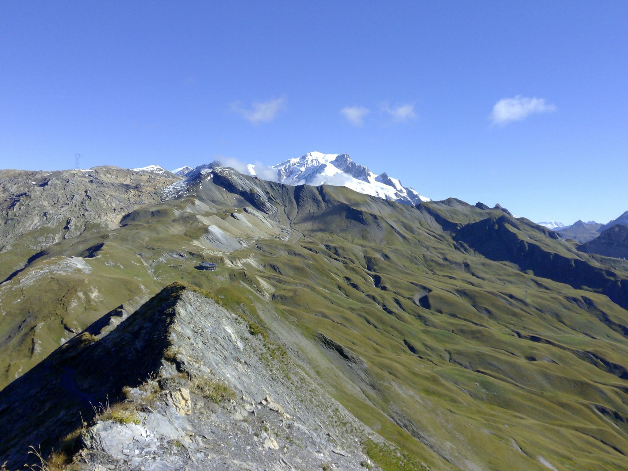
The TDS – 6 days of wild and demanding trails between Italy and France

Hike from Savoie to Vanoise – Hexatrek in France’s Northern Alps
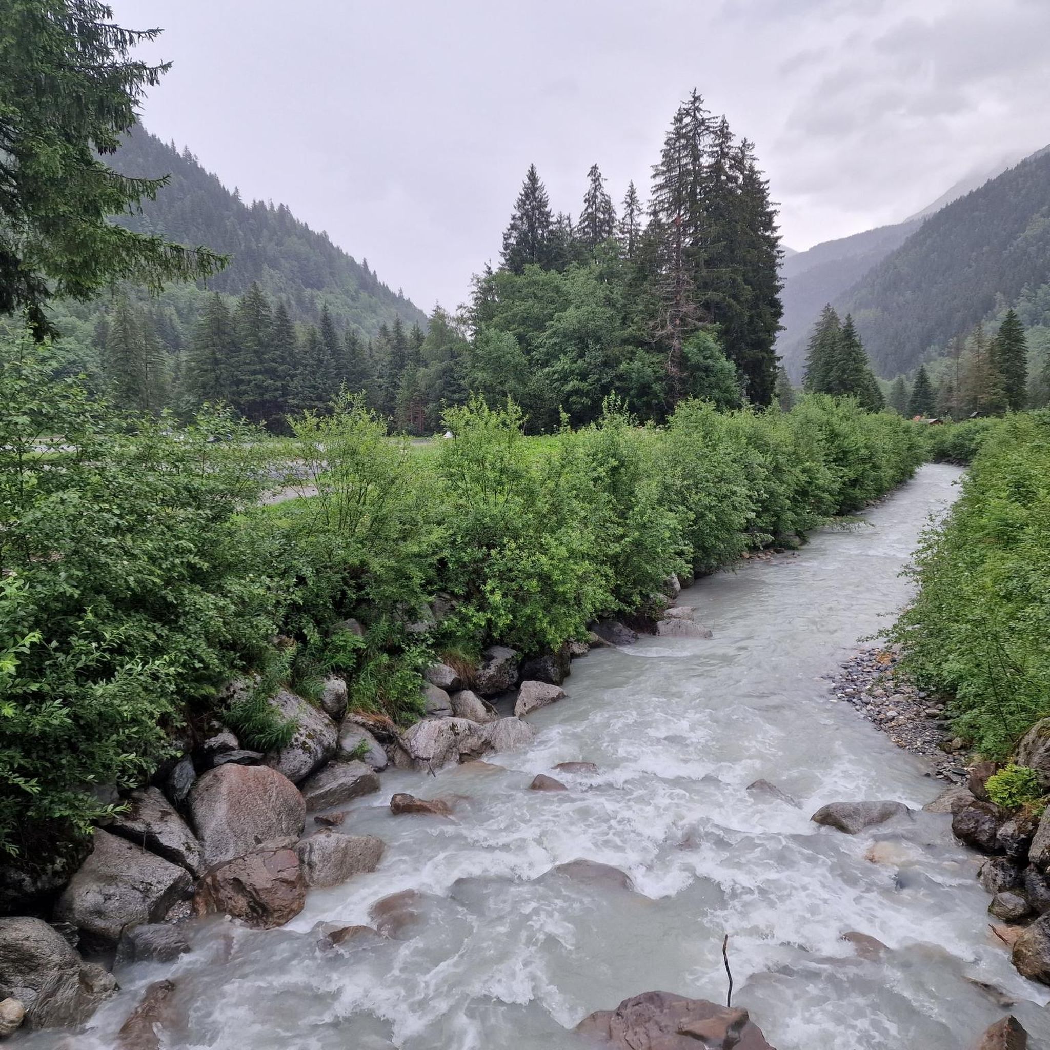
MTB Trails around Les Contamines-Montjoie
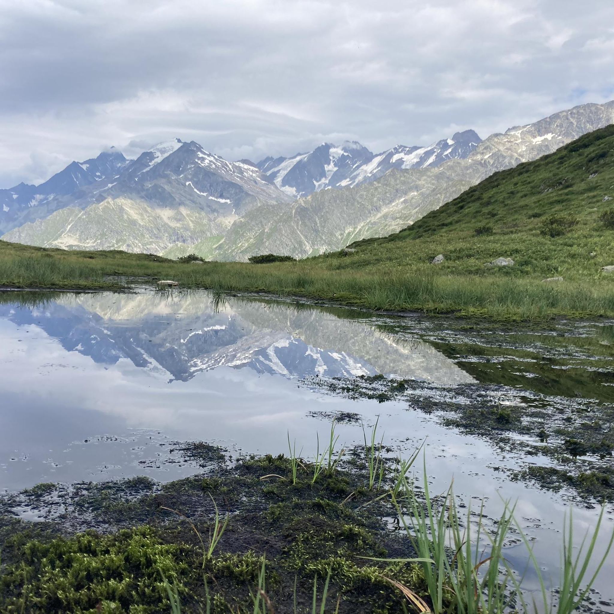
Hiking around Les Contamines-Montjoie
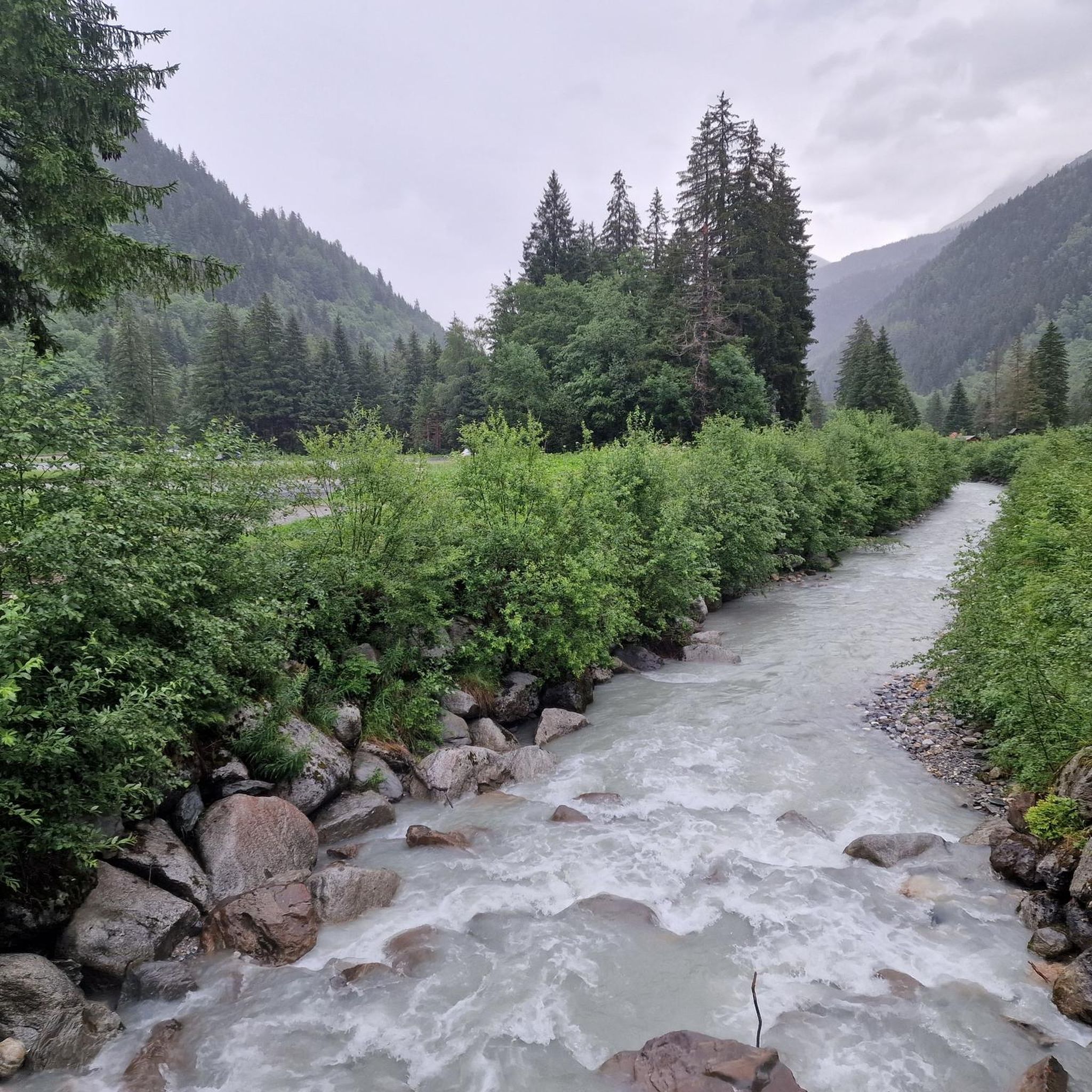
Road Cycling Routes around Les Contamines-Montjoie
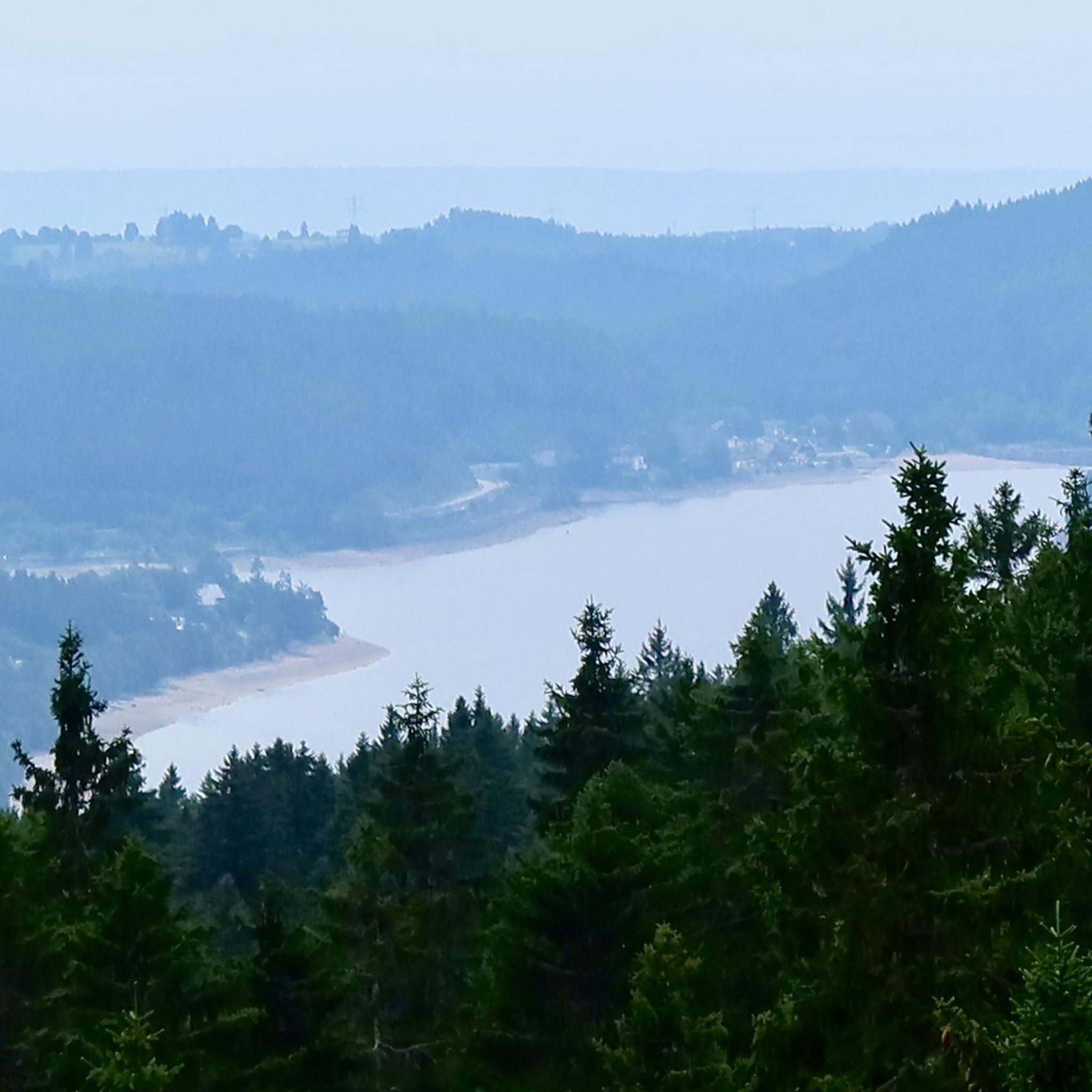
Mountain Hikes around Les Contamines-Montjoie
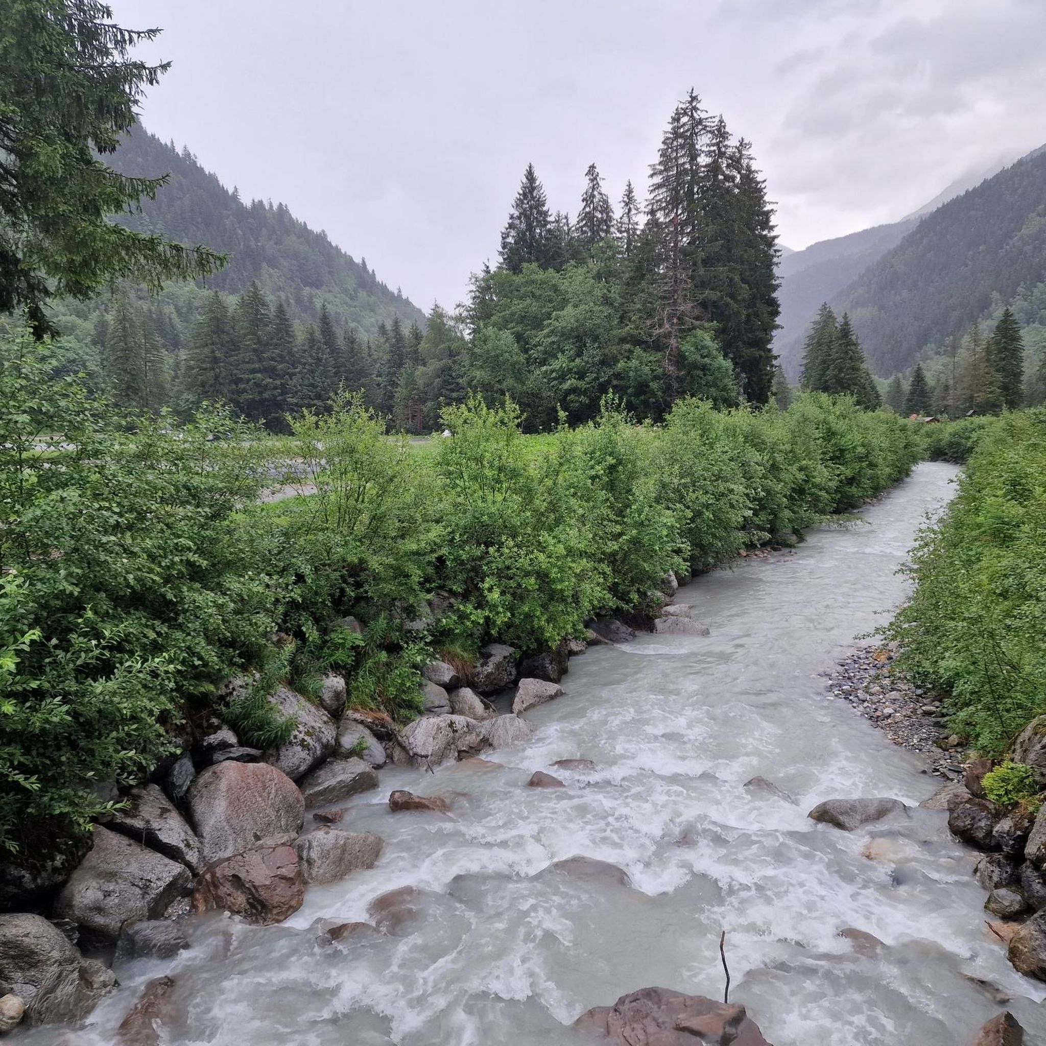
Cycling around Les Contamines-Montjoie

Gravel biking around Les Contamines-Montjoie


Tips from the Community

Great spot for a coffee and a cold drink before tackling Col du Bonhomme or Lacs Jovet. It’s cash only!!
1
0

High altitude refuge on the Mont Blanc tour route
0
0

Impossible not to see it, take the left of the bridge to be able to make the most of the view at the moment where the two torrents come together to start these different falls that I like to call washers without forgetting the natural bridge which is located to the right going down the track
0
0
The climb via the Anery is very difficult, steps, roots and stones make the route which is very steep, to be avoided in rainy weather, very slippery path and risk of stream formation as the path is dug by falling rain .
2
0

Easily reachable by pushing from Les Chapieux, from the other side it's only possible to go up through a steep scree and rock group with acrobatics and climbing, partly dangerous
2
0
to marvel at the indescribably beautiful mountain range
2
0
https://youtu.be/eu_RPR989TI The view gives you the feeling of being at the highest point above all the surrounding mountains. View hundreds of kilometers over all the peaks. Relatively easy to push up from Les Chapieux, which is already at 1700m. From Trento it is very, very steep and can be reached over blocked, stony scree with a lot of climbing.
3
2
Bring comfortable shoes, the hike from Contamines to Combloux is a little over 20 km on trails, forest roads and asphalt. After Cuppelin no more great interest except the church of Combloux. To do once.
1
0
Frequently Asked Questions
What makes running in Les Contamines-Montjoie unique?
Running in Les Contamines-Montjoie offers a truly unique experience due to its location at the foot of the Mont Blanc massif and within a vast Nature Reserve. You'll encounter diverse terrain, from coniferous forests and alpine pastures to peat bogs and streams, all while enjoying breathtaking panoramic views of the Mont Blanc Massif, the Aravis range, and Mont Joly.
How many running routes can I explore in Les Contamines-Montjoie?
There are over 70 running routes available in Les Contamines-Montjoie, catering to various fitness levels. These trails crisscross the area, offering a wide range of distances and elevations to choose from.
Are there running trails suitable for beginners or those looking for an easier jog?
While many routes in the region are challenging, there are options for easier jogs. The area features well-marked mountain paths that can accommodate different fitness levels, including gentler sections. For specific easy routes, you can filter by difficulty on komoot.
Can I find challenging trail running routes in Les Contamines-Montjoie?
Absolutely. Les Contamines-Montjoie is renowned for its challenging alpine routes, with 69 out of 73 routes rated as difficult. These trails can extend towards snowfields and glaciers, offering significant elevation gains and requiring excellent physical condition. An example is the demanding Notre-Dame de la Gorge – Col du Bonhomme loop from Refuge de Tré la Tête.
Are there any running routes that feature waterfalls or other natural water elements?
Yes, several routes in Les Contamines-Montjoie pass by beautiful waterfalls and pristine rivers. You might encounter features like the rope bridge over the Torrent de Bionnassay or the valley below the Miage Glacier. Notable waterfalls in the area include the Combe Noire Waterfall and the Belle au Bois Waterfall.
What kind of terrain can I expect on the running trails?
The terrain is incredibly diverse. You'll run through coniferous forests, across open alpine pastures, past peat bogs, and alongside streams and lakes. The well-marked mountain paths offer varied surfaces, from softer forest floors to rockier alpine sections, providing a dynamic running experience.
Are there any circular running routes available?
Yes, many of the running routes in Les Contamines-Montjoie are designed as loops, allowing you to start and finish in the same location. For instance, the Les Contamines-Montjoie – Notre-Dame de la Gorge loop from Les Contamines-Montjoie is a popular circular option.
What do other runners say about the trails in Les Contamines-Montjoie?
The running routes in Les Contamines-Montjoie are highly rated by the komoot community, with an average score of 4.6 stars from over 65 reviews. Runners often praise the stunning alpine scenery, the variety of terrain, and the well-maintained paths that make for an enjoyable and challenging experience.
Are there any historical landmarks or points of interest along the running routes?
Yes, the region offers charming points of interest. You might encounter traditional Savoyard architecture and Baroque churches in the village. Some routes, like the Roman bridge – Notre-Dame de la Gorge loop from Les Contamines-Montjoie, specifically feature historical landmarks such as the Roman bridge itself.
Can I access running trails using public transport in Les Contamines-Montjoie?
Les Contamines-Montjoie has public transport options that can help you reach various trailheads. While specific routes may require a short walk from a bus stop, the village serves as a central hub for accessing the surrounding network of paths.
Are there any huts or refuges along the running trails where I can rest or refuel?
Yes, the Mont Blanc region is well-equipped with huts and refuges. Depending on your chosen route, you might find places like the Miage Refuge or Auberge du Truc. These can be excellent spots for a break or to enjoy a meal during longer runs.
Is Les Contamines-Montjoie suitable for winter running?
While the region is known for its alpine environment, winter running is possible, especially on lower elevation paths or groomed trails. However, higher alpine routes may be covered in snow and ice, requiring specialized gear and experience. Always check local conditions before heading out in winter.
Most popular routes around Les Contamines-Montjoie
Most popular attractions around Les Contamines-Montjoie

Get inspired with the komoot mobile app


Explore more
Browse the best Running Trails & Routes in other regions.
