The best walks and hikes around Saint-Romain-De-Jalionas
4.6
(544)
2,888
hikers
321
hikes
Hiking around Saint-Romain-De-Jalionas offers diverse landscapes, blending natural beauty with cultural heritage. The region features riverine environments near the Rhône and Ain rivers, tranquil marshes like the maraise de la Besseye, and elevated plateaus such as Larina and Aviateurs that provide expansive views. Forested areas like les bois de Perrier et Fontenaille offer shaded paths, contributing to a varied hiking experience.
Best hiking trails around Saint-Romain-De-Jalionas
- The most popular hiking route is Confluence – Confluence Rhône Ain. loop from Loyettes, a 6.2 miles (10.0 km) trail that takes 2 hours 31 minutes to complete, following the confluence of two major rivers.
- Another top favourite among local hikers is Our Lady of La Salette. loop from Leyrieu, a moderate 5.0 miles (8.1 km) path that includes notable elevation gain and scenic views.
- Local hikers also love the Forêt de Jalionas – Site archéologique du Vernai loop from Leyrieu, a 4.3 miles (6.9 km) trail leading through forested areas and past historical sites, often completed in about 1 hour 47 minutes.
- Hiking around Saint-Romain-De-Jalionas is defined by riverine paths, marshland strolls, and routes through forests and elevated plateaus. The network offers options for easy walks and more moderate trails.
- The routes in Saint-Romain-De-Jalionas are highly rated by the komoot community with an average score of 4.6 stars from over 400 reviews. More than 2,400 hikers have used komoot to explore Saint-Romain-De-Jalionas's varied terrain.
Last updated: August 21, 2026
4.6
(14)
33
hikers
9.98km
02:31
20m
20m
Moderate hike. Good fitness required. Easily-accessible paths. Suitable for all skill levels.
4.8
(4)
29
hikers
8.08km
02:21
220m
220m
Moderate hike. Good fitness required. Easily-accessible paths. Suitable for all skill levels.

Sign up for free
5.0
(1)
20
hikers
7.95km
02:01
20m
20m
Moderate hike. Good fitness required. Easily-accessible paths. Suitable for all skill levels.
2.0
(1)
8
hikers
6.89km
01:47
40m
40m
Easy hike. Great for any fitness level. Easily-accessible paths. Suitable for all skill levels.
4.0
(1)
6
hikers
Moderate hike. Good fitness required. Easily-accessible paths. Suitable for all skill levels.
Get access to more routes and recommendations from other explorers.
Sign up for free
Already have an account?
Our route recommendations are based on thousands of hikes, rides, and runs completed by other people on komoot.
Start today with a free account
Your next adventure awaits.
Login or Signup
Tips from the Community


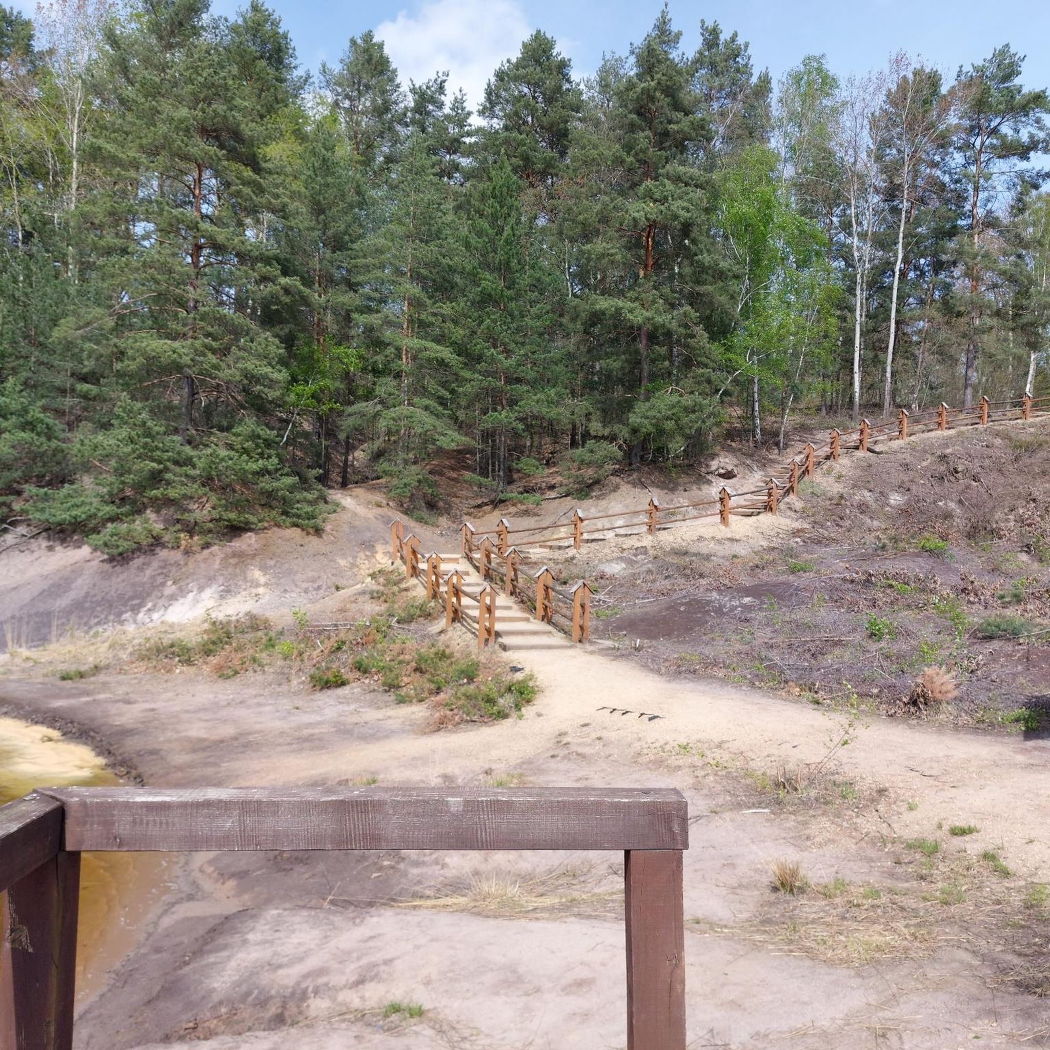
Discover here a pretty little pond with a beautiful diversity of dragonflies.
0
0

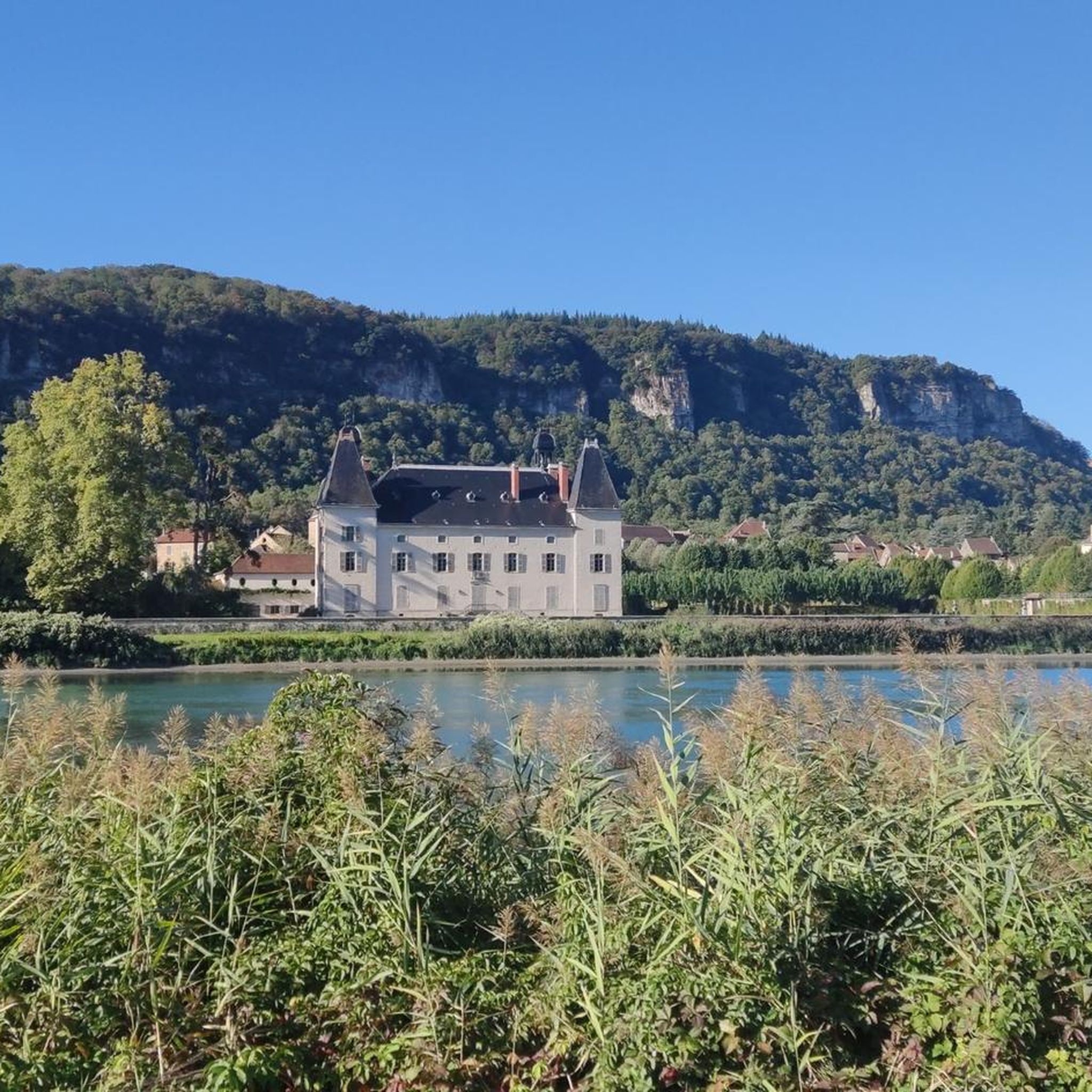
Although first mentioned in 1540, the Cingle fortified house was undoubtedly built in the second half of the 14th century by the Pèlerin family. Originally composed of a main tower and a wing back to the west, it perhaps originally included a curtain wall. During the 15th century, the south wing was extended towards the west, a main building comprising a lower room and an upper room was attached to the north of the main tower, while a turret occupied on the first floor by an oratory and on the second by a dovecote is built to the east, projecting. A wing including the kitchen on the ground floor is also built at right angles to the north of the courtyard. The farm itself retains some architectural elements dating from the 16th century. Source: Ministry of Culture
1
0


A peaceful stroll along the Rhône accompanied by a multitude of birds.
1
0

In gravel, the path along the Rhône from Loyette, then up the Ain towards Saint Maurice de Gourdans is exceptional. The highlight is the confluence! It's wild and natural. If you are lucky, you will see deer, hares, pheasants, ducks, swans, ... The best period is spring and autumn. In summer, the vegetation is too dense.
0
0

Listed as historical monuments: https://www.pop.culture.gouv.fr/notice/merimee/PA00117311
1
0
Frequently Asked Questions
How many hiking trails are available around Saint-Romain-De-Jalionas?
The region of Saint-Romain-De-Jalionas offers a comprehensive network of nearly 300 hiking routes. This includes over 100 easy trails, more than 170 moderate options, and a selection of challenging routes for experienced hikers.
What kind of terrain can I expect on hikes in Saint-Romain-De-Jalionas?
Hiking around Saint-Romain-De-Jalionas features diverse landscapes. You'll find scenic riverine paths along the Rhône and Ain rivers, tranquil strolls through marshes like the marais de la Besseye, and routes through shaded forests such as les bois de Perrier et Fontenaille. Elevated areas like the plateau de Larina also offer panoramic views.
Are there any circular hiking routes in Saint-Romain-De-Jalionas?
Yes, many routes in the area are circular. For example, the Confluence – Confluence Rhône Ain. loop from Loyettes is a popular 10 km circular trail following the confluence of two major rivers. Another option is the Forêt de Jalionas – Site archéologique du Vernai loop from Leyrieu, which takes you through forests and past historical sites.
What historical or cultural landmarks can I explore on a hike?
You can discover several historical sites while hiking. The Forêt de Jalionas – Site archéologique du Vernai loop from Leyrieu passes by the significant Gallo-Roman Archaeological Site of Vernai. Additionally, the historic 13th-century Le Moulin du Peillard is preserved nearby. For a deeper dive into history, some routes can lead you to the medieval town of Crémieu, a classified Protected Area for Urban and Landscape Architectural Heritage, featuring a castle and 16th-century hall.
Are there any viewpoints with panoramic scenery?
Absolutely. Elevated areas such as the plateau de Larina and Plateau des Aviateurs near Vernas provide magnificent viewpoints. From these spots, you can enjoy expansive vistas over the Jura, the Monts du Lyonnais, and the Rhône plain. On clear days, you might even catch a glimpse of the Pilat and the distant Alps.
What do other hikers say about the trails in Saint-Romain-De-Jalionas?
The hiking routes in Saint-Romain-De-Jalionas are highly regarded by the komoot community, holding an average rating of 4.6 stars from over 400 reviews. More than 2,400 hikers have used komoot to explore the varied terrain, often praising the diverse landscapes and well-marked paths.
Are there family-friendly hiking options in the area?
Yes, Saint-Romain-De-Jalionas offers many easy trails suitable for families. The region's diverse landscapes, including riverine paths and marshland strolls, provide accessible and engaging experiences for all ages. The marais de la Besseye, for instance, offers tranquil spots perfect for leisurely family walks.
Can I bring my dog on the hiking trails?
Many trails in Saint-Romain-De-Jalionas are dog-friendly, allowing you to enjoy the natural beauty with your canine companion. However, it's always recommended to keep your dog on a leash, especially in sensitive natural areas like the marais de la Besseye, and to check local signage for any specific restrictions.
Is there public transport access to hiking trailheads?
While specific public transport routes directly to all trailheads might be limited, Saint-Romain-De-Jalionas is part of the Isère department, which has a regional transport network. For detailed information on reaching specific starting points, it's advisable to consult local transport schedules or consider driving to trailheads where parking is often available.
Where can I find parking for hiking trails?
Parking is generally available at or near many popular trailheads throughout Saint-Romain-De-Jalionas and its surrounding areas. For instance, routes like the Confluence – Confluence Rhône Ain. loop from Loyettes often have designated parking areas at their starting points in towns like Loyettes.
What is the best time of year for hiking in Saint-Romain-De-Jalionas?
The region is enjoyable for hiking throughout much of the year. Spring and autumn offer pleasant temperatures and vibrant scenery, with spring bringing lush greenery and autumn showcasing colorful foliage. Summer is also suitable, especially for shaded forest paths, while winter can offer unique, crisp walks, though some trails might be less accessible depending on conditions.
Are there any long-distance routes or multi-day hiking opportunities?
While the guide focuses on day hikes, the broader Isère region boasts nearly 9,000 km of waymarked footpaths, suggesting potential for connecting shorter routes into longer treks. The Viarhôna Cycle Route also passes through the northern part of Saint-Romain-De-Jalionas, offering magnificent landscapes that can be explored on foot for extended walks, even if not cycling.
Most popular routes around Saint-Romain-De-Jalionas
Most popular attractions around Saint-Romain-De-Jalionas

Get inspired with the komoot mobile app


Explore more
Browse the best Hikes in other regions.
