The best mountain hikes around Vallorcine
4.9
(82)
946
hikers
49
hikes
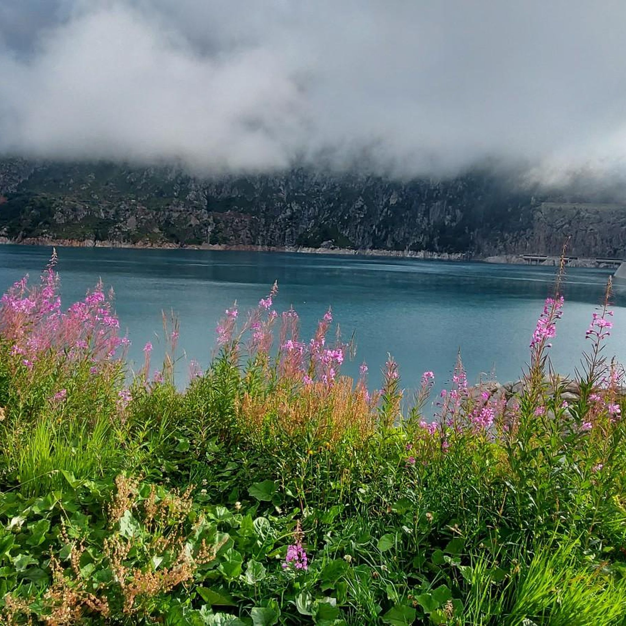
Mountaineering routes around Vallorcine are set within the Chamonix-Mont Blanc valley, providing access to challenging peaks and diverse landscapes. The region is characterized by the dramatic Aiguilles Rouges mountains, high-altitude lakes, and glaciers, alongside extensive forests and wild streams. Notable features include Mont Buet, a significant ascent for experienced mountaineers, and the picturesque Barberine and Bérard waterfalls. This area offers a range of terrain from alpine ascents to forest trails.
Best mountaineering routes around Vallorcine
- The most popular mountaineering route is Tour du Pays du Mont-Blanc – Lac Blanc loop from Col des Montets, a 6.9 miles (11.2 km) trail that takes 5 hours 52 minutes to complete. This difficult route offers views towards Lac Blanc and the Mont Blanc massif.
- Another top favourite among local mountaineers is Bérard Waterfall – Col de Salenton loop from Le Buet, a difficult 12.7 miles (20.4 km) path. This route features significant elevation gain and passes by the Bérard Waterfall.
- Local mountaineers also love the Bérard Waterfall – Refuge de la Pierre at Bérard loop from Le Buet, a 7.2 miles (11.6 km) trail leading through varied alpine terrain, often completed in about 4 hours 43 minutes.
- Mountaineering around Vallorcine is defined by mythical peaks, glaciers, and high-altitude lakes, alongside forests and wild streams. The network offers options for both moderate and difficult ability levels, with more than 40 challenging routes available.
- The routes in Vallorcine are highly rated by the komoot community with an average score of 4.8 stars from over 80 reviews. More than 1000 mountaineers have used komoot to explore Vallorcine's varied terrain.
Last updated: June 27, 2026
4.7
(6)
75
hikers
10.4km
05:18
820m
810m
Hard mountaineering route. Very good fitness required. Sure-footedness, sturdy shoes and alpine experience required.
4.6
(5)
36
hikers
11.6km
04:44
630m
630m
Moderate mountaineering route. Good fitness required. Mostly accessible paths. Sure-footedness required.

Sign up for free
5.0
(1)
16
hikers
19.8km
08:50
1,340m
1,340m
Hard mountaineering route. Very good fitness required. Mostly accessible paths. Sure-footedness required.
19
hikers
13.8km
04:41
690m
690m
Moderate mountaineering route. Good fitness required. Mostly accessible paths. Sure-footedness required.
5.0
(1)
9
hikers
9.09km
03:25
470m
480m
Hard mountaineering route. Good fitness required. Sure-footedness, sturdy shoes and alpine experience required.
Get access to more routes and recommendations from other explorers.
Sign up for free
Already have an account?
Our route recommendations are based on thousands of hikes, rides, and runs completed by other people on komoot.
Start today with a free account
Your next adventure awaits.
Login or Signup
Popular around Vallorcine

Hiking to the summits – France's highest points

Hike from Savoie to Vanoise – Hexatrek in France’s Northern Alps

High mountain escapades — 15 peaks over 3,000m in the Alps
Hiking around Vallorcine
MTB Trails around Vallorcine
Running Trails around Vallorcine
Road Cycling Routes around Vallorcine
Cycling around Vallorcine

Gravel biking around Vallorcine


Tips from the Community

Located on the edge of a nature reserve, you can only bivouac near the refuge; it is forbidden above. Ask the warden. Dogs and drones are also forbidden in nature reserves.
1
0

a very beautiful via ferrata for everyone, without vertigo
0
0

Ideal place to recharge your batteries
0
0

You can access the Farinet cave by passing behind the waterfall refreshment bar; the route is clear and protected. Then, let yourself be guided by the explanations of the place to discover its history.
0
0

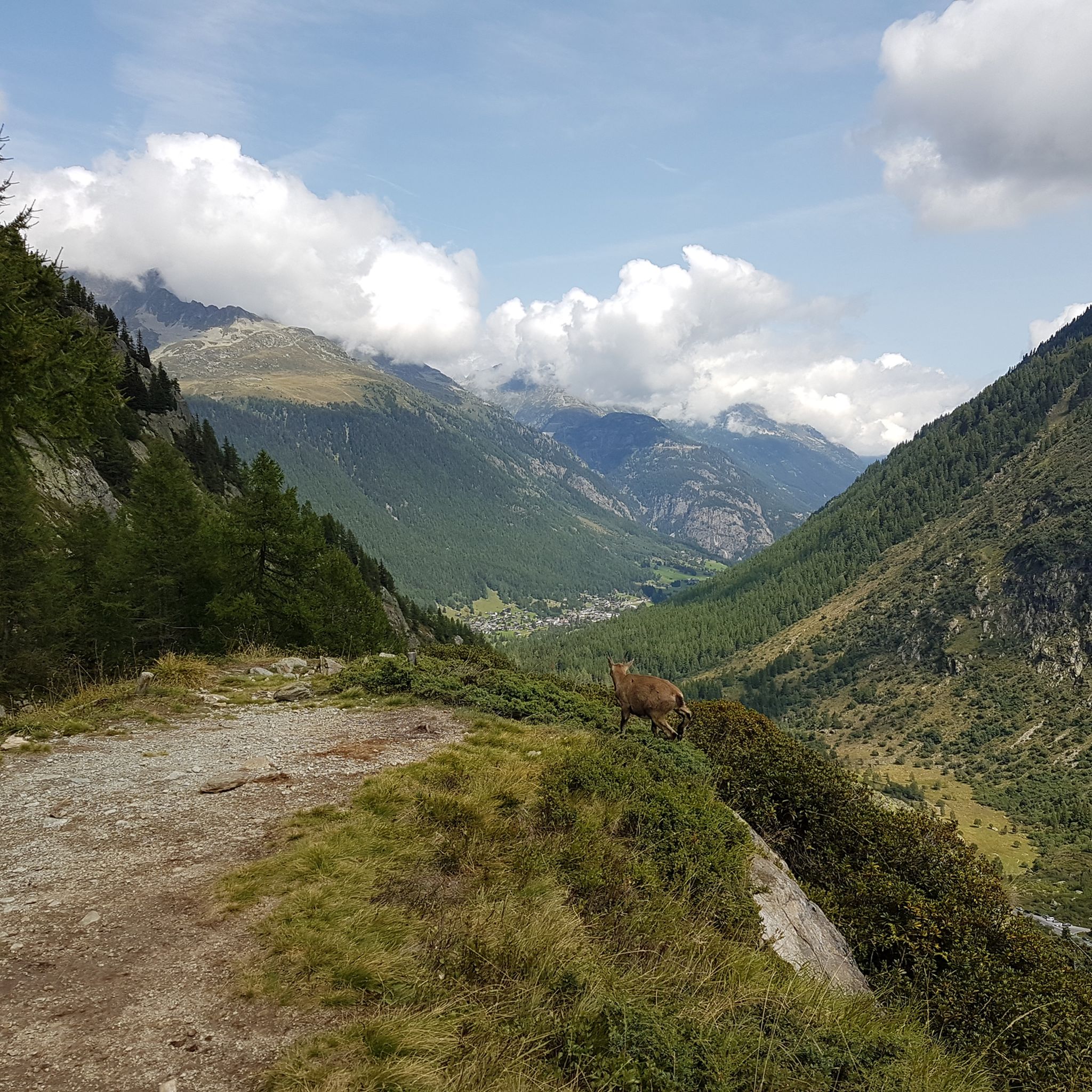
With a bit of luck, see you with the chamois
0
0

Frequently Asked Questions
How many mountaineering routes are available around Vallorcine?
Vallorcine offers a wide selection of mountaineering routes, with over 50 challenging options available. These routes cater to various skill levels, including 12 moderate and 40 difficult trails, ensuring there's an adventure for most experienced mountaineers.
What kind of natural features can I expect to see on mountaineering routes in Vallorcine?
Mountaineering routes in Vallorcine traverse a diverse landscape, from the dramatic Aiguilles Rouges mountains to extensive forests and wild streams. You can encounter mythical peaks, glaciers, and high-altitude lakes. Notable natural attractions include the picturesque Bérard Waterfall, which you can experience on routes like the Bérard Waterfall – Col de Salenton loop from Le Buet.
Are there any circular mountaineering routes in Vallorcine?
Yes, Vallorcine features several rewarding circular mountaineering routes. For instance, the Tour du Pays du Mont-Blanc – Lac Blanc loop from Col des Montets is a popular difficult circular trail offering stunning views towards Lac Blanc and the Mont Blanc massif. Another option is the Bérard Waterfall – Refuge de la Pierre at Bérard loop from Le Buet, a moderate circular route through varied alpine terrain.
What are some notable landmarks or viewpoints along the mountaineering trails?
Vallorcine's mountaineering trails offer access to several iconic landmarks and viewpoints. You can reach the Aiguillette des Posettes, which provides panoramic views of Mont Blanc, Switzerland, and the Tour glacier. Another significant peak is Mont Buet, known as 'Mont Blanc des dames,' offering a challenging ascent and impressive vistas for experienced mountaineers.
What do other mountaineers say about the routes in Vallorcine?
The mountaineering routes in Vallorcine are highly regarded by the komoot community, boasting an average rating of 4.8 stars from over 80 reviews. More than 1000 mountaineers have used komoot to explore the region's varied terrain, often praising the dramatic scenery, challenging ascents, and the pristine natural environment.
Are there any routes that pass by waterfalls?
Absolutely! The region is home to beautiful waterfalls. The Bérard Waterfall is a prominent feature on several routes, including the Bérard Waterfall – Col de Salenton loop from Le Buet and the Bérard Waterfall – Refuge de la Pierre at Bérard loop from Le Buet. These routes offer a chance to experience the refreshing cascades amidst the alpine landscape.
Can I find routes that offer views of glaciers?
Yes, Vallorcine's location in the Chamonix-Mont Blanc valley means many routes provide spectacular views of glaciers. For instance, the ascent to Aiguillette des Posettes offers a panoramic view that includes the Tour glacier, alongside Mont Blanc and parts of Switzerland.
Are there any routes near the Emosson Dam with unique attractions?
Yes, a unique route accessible from the Vallorcine area leads towards the Emosson Dam. The View of Lac d'Emosson – Dinosaur Footprints loop from Lac d'Émosson is a difficult mountaineering trail that offers the opportunity to observe ancient dinosaur footprints, adding an archaeological dimension to your alpine adventure.
What is the best time of year for mountaineering in Vallorcine?
The summer months are generally ideal for mountaineering in Vallorcine, offering more stable weather conditions and accessible trails. However, the region's diverse terrain means that spring and autumn can also provide excellent opportunities, especially for lower-altitude routes, with vibrant flora and quieter paths. Always check local conditions and forecasts before heading out.
Are there any routes that pass by mountain huts or refuges?
Yes, some mountaineering routes in Vallorcine offer the convenience of passing by mountain huts or refuges. For example, the Col de Balme – Refuge du Col de Balme loop from Montroc - Le Planet is a challenging route that includes the Col de Balme, where you can find facilities. These spots can be excellent for a break or an overnight stay on longer expeditions.
What is the general difficulty level of mountaineering routes in Vallorcine?
Mountaineering in Vallorcine is primarily suited for experienced individuals, with the majority of routes classified as difficult. Out of over 50 available routes, 40 are considered difficult, and 12 are moderate. This indicates that most trails involve significant elevation gain, challenging terrain, and require good physical fitness and mountaineering skills.
Most popular routes around Vallorcine
Most popular attractions around Vallorcine

Get inspired with the komoot mobile app


Explore more
Browse the best Mountain Hikes & Routes in other regions.
