The best mountain hikes around Samoëns
4.7
(64)
477
hikers
39
hikes
Mountaineering around Samoëns offers access to the dramatic landscapes of the French Alps, nestled within the Haut-Giffre Valley. The region is characterized by its seven surrounding mountains, including the prominent Mont Criou, and features like the glacial Cirque du Fer à Cheval. Mountaineers can explore diverse terrain, from alpine meadows and waterfalls to challenging ascents within the Sixt-Fer-à-Cheval Nature Reserve. This area provides a preserved alpine environment for various levels of mountain exploration.
Best mountaineering routes around Samoëns
- The most popular mountaineering route is La Berthe – Col de Coux loop from L'Érigné Derrière, a moderate 6.8 miles (10.9 km) trail that takes 4 hours 32 minutes to complete. This loop offers varied terrain with views of the surrounding peaks and valleys.
- Another top favourite among local mountaineers is Gouffre – Refuge de la Golèse loop from Plan des Arches, a difficult 6.4 miles (10.3 km) path. This route leads through challenging landscapes towards the Refuge de la Golèse, providing a rewarding alpine experience.
- Local mountaineers also love the Tete de Bostan – Refuge de la Golèse loop from L'Érigné Derrière, a 10.5 miles (16.9 km) trail leading through high mountain terrain, often completed in about 7 hours 18 minutes. This difficult route ascends towards Tete de Bostan, offering expansive views.
- Mountaineering around Samoëns is defined by its seven mountains, the Haut-Giffre Valley, and the impressive Cirque du Fer à Cheval. The network offers options for different ability levels, from moderate ascents to more challenging high-alpine routes.
- The routes in Samoëns are highly rated by the komoot community with an average score of 4.7 stars from over 60 reviews. More than 400 mountaineers have used komoot to explore Samoëns's varied terrain.
Last updated: October 1, 2026
5.0
(1)
21
hikers
10.6km
04:20
730m
730m
Moderate mountaineering route. Good fitness required. Mostly accessible paths. Sure-footedness required.
4.3
(3)
16
hikers
10.5km
04:42
710m
700m
Hard mountaineering route. Good fitness required. Sure-footedness, sturdy shoes and alpine experience required.

15
hikers
17.1km
07:23
1,190m
1,190m
Hard mountaineering route. Very good fitness required. Mostly accessible paths. Sure-footedness required.
18
hikers
16.4km
07:23
1,290m
1,290m
Hard mountaineering route. Very good fitness required. Mostly accessible paths. Sure-footedness required.
4.0
(5)
12
hikers
6.29km
02:15
320m
320m
Hard mountaineering route. Good fitness required. Sure-footedness, sturdy shoes and alpine experience required.
Get access to more routes and recommendations from other explorers.
Already have an account?
Our route recommendations are based on thousands of hikes, rides, and runs completed by other people on komoot.
Start today with a free account
Your next adventure awaits.
Popular around Samoëns
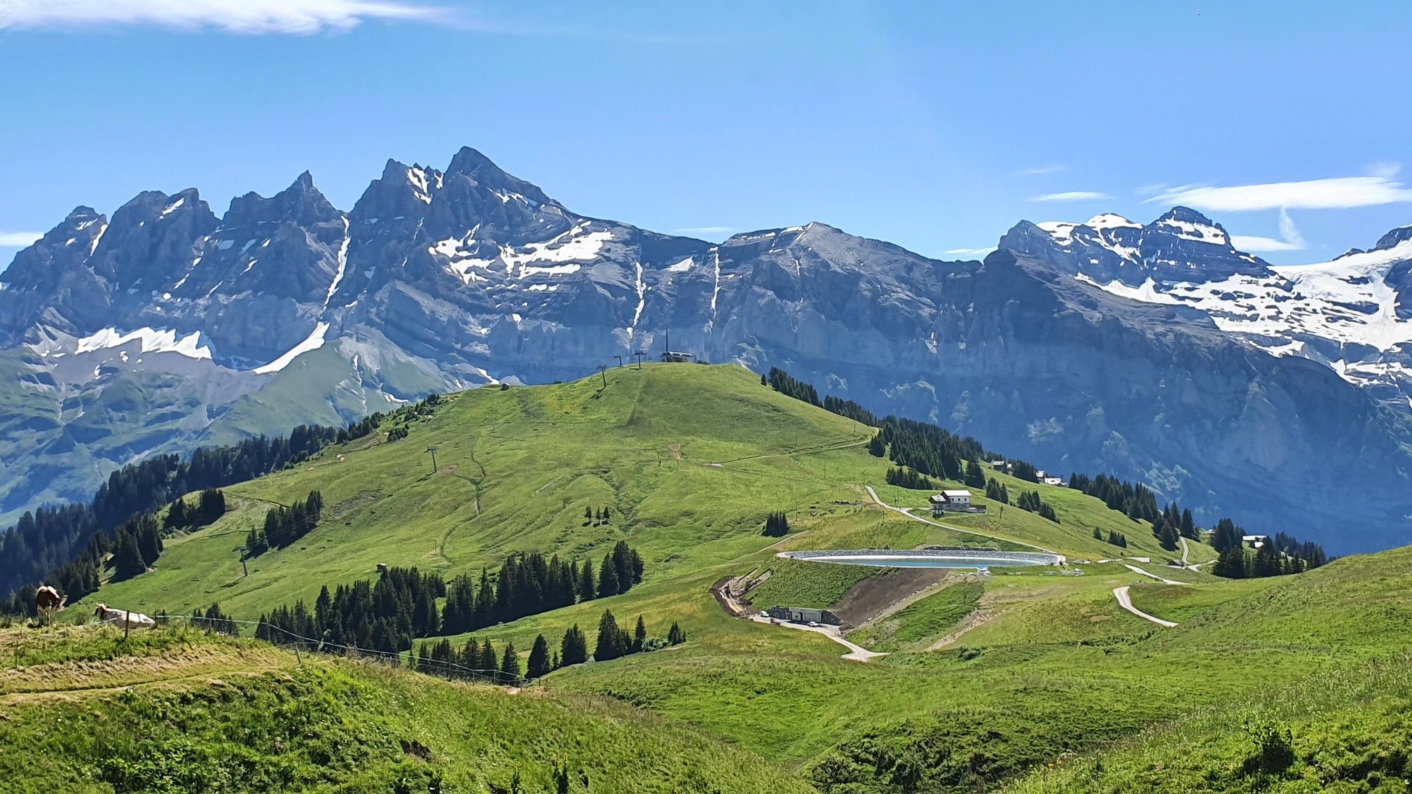
Europe Trail (GR 5) – Hike from Landry to Thonon-les-Bains

Hike from Savoie to Vanoise – Hexatrek in France’s Northern Alps
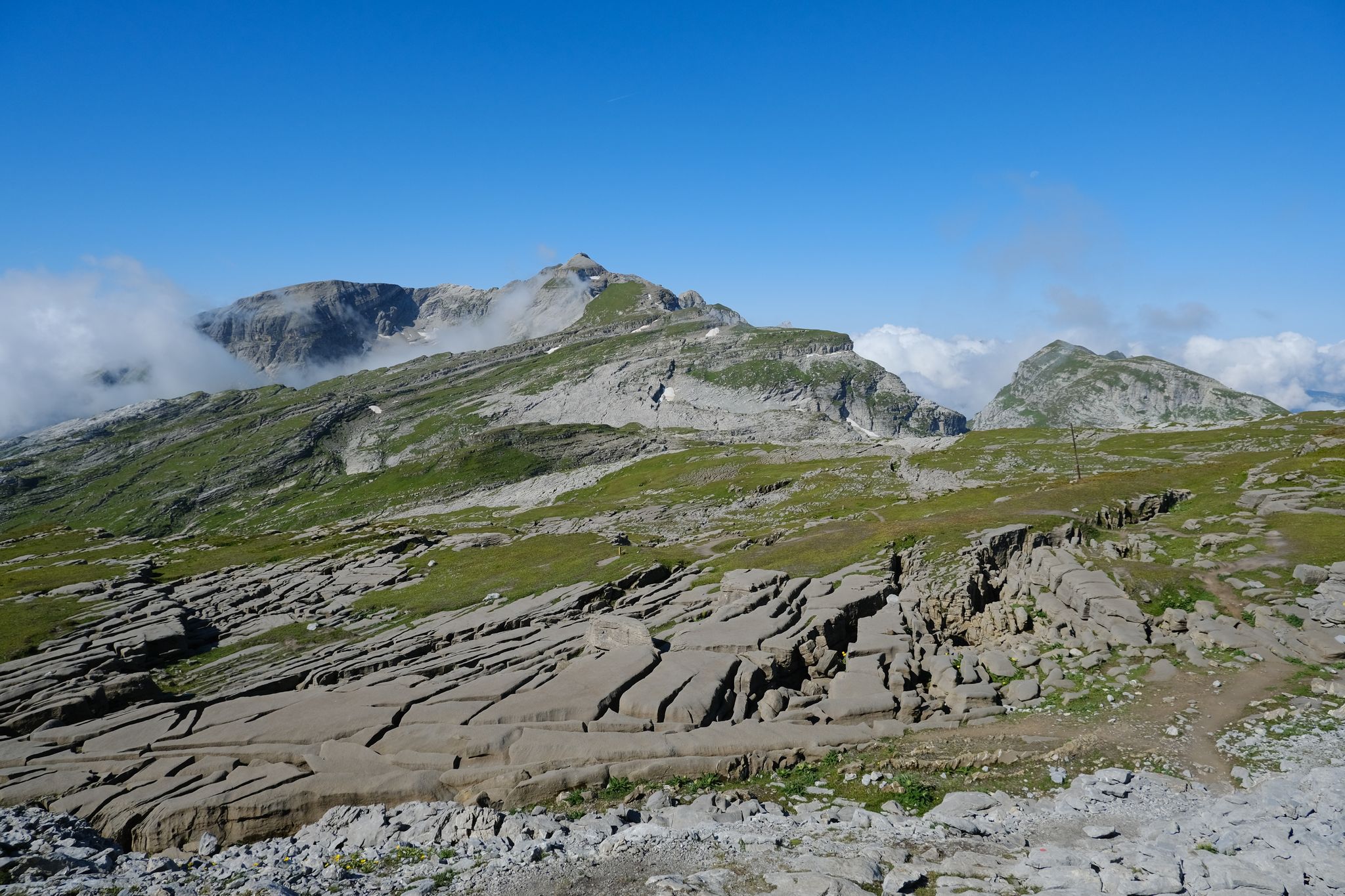
Immerse yourself in the French Alps from Samoëns to Entremont-le-Vieux – GR 96
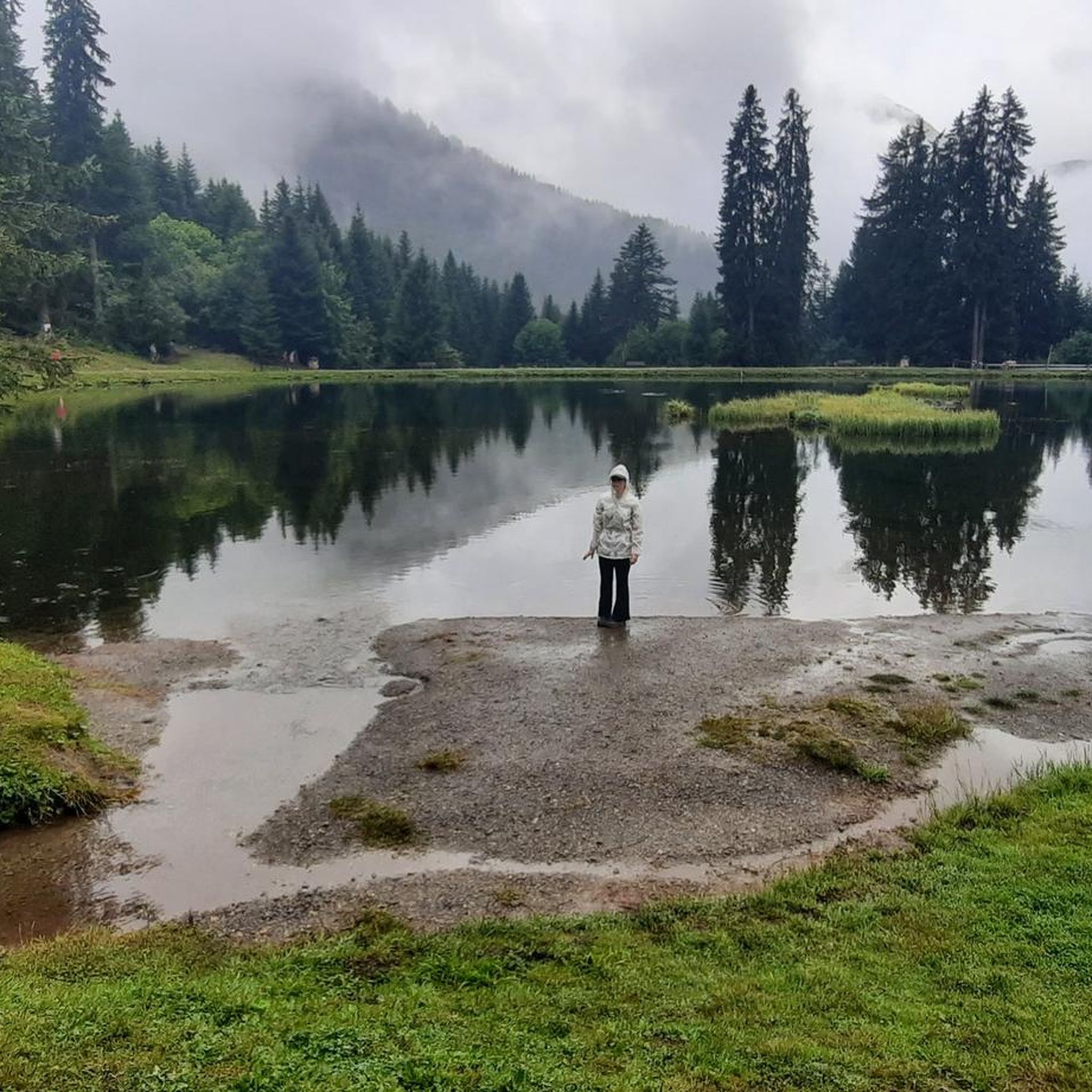
Hiking around Samoëns
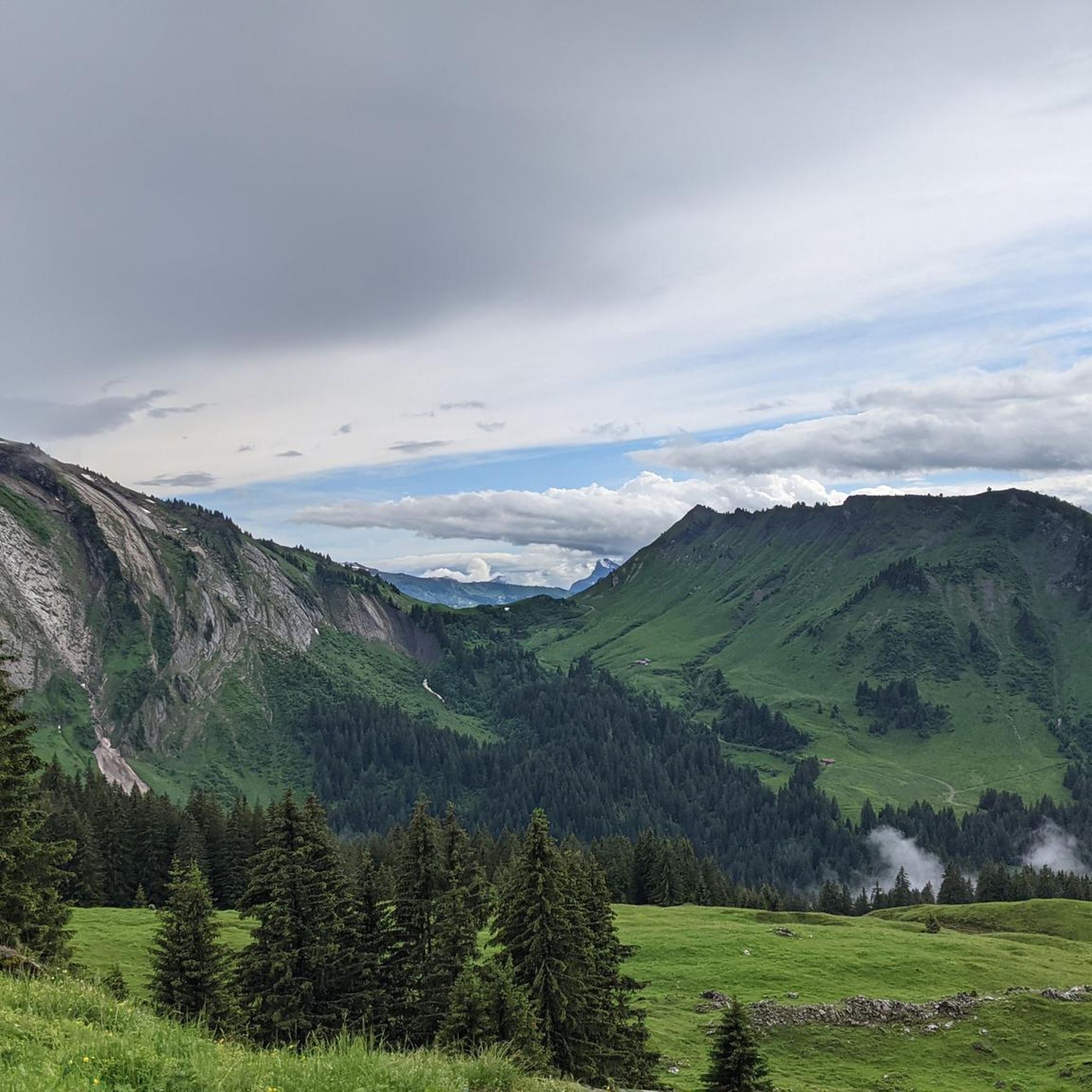
MTB Trails around Samoëns
Road Cycling Routes around Samoëns
Cycling around Samoëns
Running Trails around Samoëns

Gravel biking around Samoëns
Other adventures around Samoëns


Tips from the Community

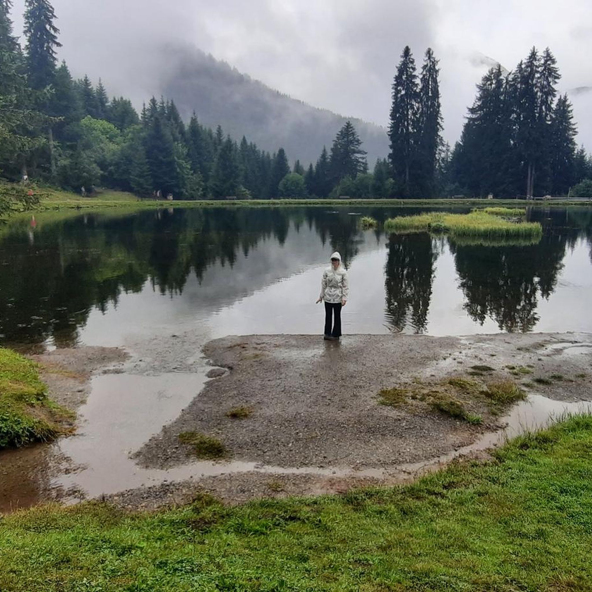
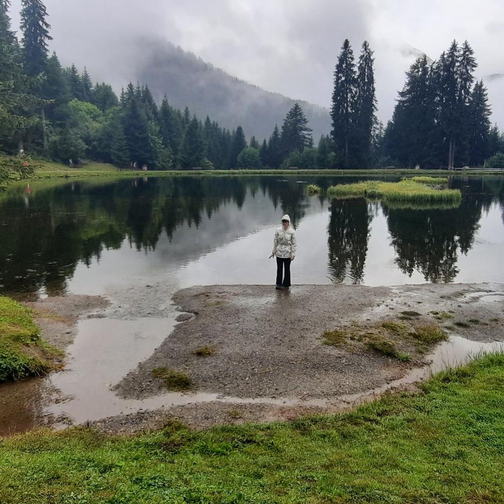
The Lac des Mines d'Or is a hike that combines simplicity and wonder. Upon arrival, the setting is magnificent: a peaceful lake nestled in the heart of the mountains, surrounded by forests and alpine meadows. The atmosphere is particularly soothing, inviting you to take the time to admire the landscape and enjoy the calm. The reflections of the peaks on the water offer a spectacle that never gets old. It's an accessible hike, ideal for recharging, sharing a moment with family or friends, or simply reconnecting with nature. An authentic place that reminds us that the most beautiful memories are not always born from the most difficult climbs, but also from the beauty and serenity of the landscapes.
0
0

Once you reach the Bostan summit, this is the next point to refuel
0
0

Great view and some eternal snow still present
0
0

The Bostan refuge, located at an altitude of 1,763 meters, welcomes all hikers. Since its construction in the 80s, it has continued to evolve to become the large, warm, comfortable and friendly chalet that it is now. It has 72 beds and its panoramic terrace welcomes all hikers for a sunny break, a drink and even a good meal.
0
0


Refuge de Boston is a medium-sized mountain hut in the middle of alpine pastures. It’s located in a sunny valley overlooking the Giffre Valley and the commune of Samoëns in Haute-Savoie.
0
0

A rounded mountain peak, balanced on the Swiss/French border. The summit can be reached by a multitude of trails, in summer via the many hiking trails that connect it, or in winter it is a popular ski touring route. Keep an eye out for local residents, you might be lucky enough to see a marmot or ibex!
0
0
Frequently Asked Questions
How many mountaineering routes are available around Samoëns?
There are over 40 mountaineering routes around Samoëns, offering a wide range of experiences from moderate ascents to challenging high-alpine expeditions. The region's diverse terrain caters to various skill levels.
Are there any easy mountaineering routes for beginners in Samoëns?
While most routes in Samoëns are moderate to difficult, there is at least one easy mountaineering route available. For those new to mountaineering, it's advisable to choose routes with lower difficulty ratings and consider guided options to safely explore the French Alps.
What kind of natural features and landmarks can I expect to see on these routes?
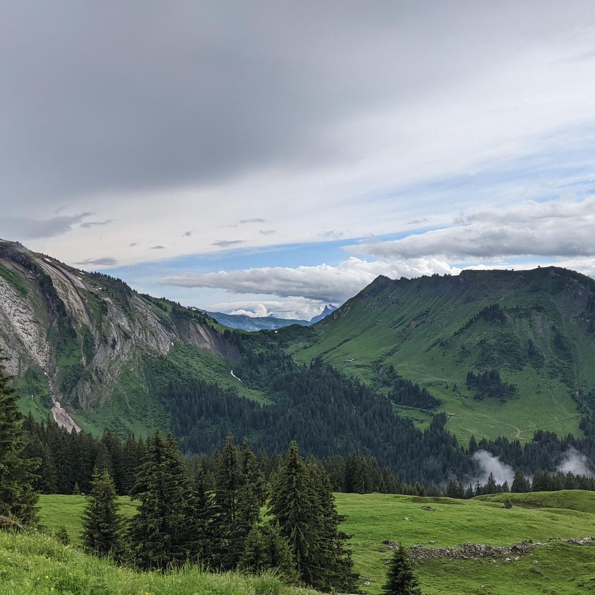
Mountaineering in Samoëns offers stunning views of the Haut-Giffre Valley and the surrounding 'seven mountains,' including the prominent Mont Criou. You can also encounter impressive geological formations like the glacial Cirque du Fer à Cheval, alpine meadows, and numerous waterfalls, especially within the Sixt-Fer-à-Cheval Nature Reserve. Some routes may even offer glimpses of Mont Blanc.
Are there any circular mountaineering routes in Samoëns?
Yes, Samoëns offers several rewarding circular mountaineering routes. For a moderate option, consider the La Berthe – Col de Coux loop from L'Érigné Derrière. If you're looking for a more challenging experience, the Gouffre – Refuge de la Golèse loop from Plan des Arches is a popular choice among local mountaineers.
What is the best time of year for mountaineering in Samoëns?
The best time for mountaineering in Samoëns is typically during the summer and autumn months when the trails are clear of snow and the weather is more stable. Spring can also be beautiful, but some higher-altitude routes may still have snow cover. Always check local conditions and forecasts before heading out.
What do other mountaineers say about the routes in Samoëns?
The mountaineering routes in Samoëns are highly rated by the komoot community, with an average score of 4.7 stars from over 60 reviews. Mountaineers often praise the diverse terrain, the preserved alpine environment, and the expansive views of the French Alps.
Are there any routes that lead to a mountain refuge?
Yes, some routes in Samoëns lead to mountain refuges. For example, the difficult Tete de Bostan – Refuge de la Golèse loop from L'Érigné Derrière will take you towards the Refuge de la Golèse, providing a rewarding alpine experience and a potential stopover.
Are there any family-friendly mountaineering options in the area?
While many mountaineering routes in Samoëns are challenging, there are options suitable for families with some hiking experience. Look for routes categorized as 'easy' or 'moderate' and consider those that explore alpine meadows or offer accessible viewpoints. Always assess the route's distance and elevation gain to match your family's capabilities.
What are some of the more challenging mountaineering routes in Samoëns?
For experienced mountaineers seeking a challenge, Samoëns offers several difficult routes. The Tete de Bostan – Gouffre loop from Plan des Arches is a demanding option, covering over 16 km with significant elevation gain. Another challenging choice is the Lac des Verdets – Tete de Bostan loop from Plan des Arches, which also features substantial ascents and high-alpine terrain.
Are there any lakes or water features to see near the mountaineering routes?
Yes, the region around Samoëns is home to several beautiful lakes. While not directly on every mountaineering route, you can find highlights like Green Lake, Lac d'Émosson, and Lac Vert in the broader area. Many routes also feature stunning waterfalls, particularly within the protected Sixt-Fer-à-Cheval Nature Reserve.
What kind of views can I expect from the higher peaks around Samoëns?
From the higher peaks around Samoëns, you can expect expansive panoramic views of the French Alps. The region is known for its dramatic landscapes, offering vistas across the Haut-Giffre Valley, the 'seven mountains' that surround the village, and on clear days, even distant views of iconic peaks like Mont Blanc.
Most popular routes around Samoëns
Most popular attractions around Samoëns

Get inspired with the komoot mobile app


Explore more
Browse the best Mountain Hikes & Routes in other regions.
