The best mountain hikes around Vaulnaveys-Le-Haut
4.9
(14)
131
hikers
15
hikes
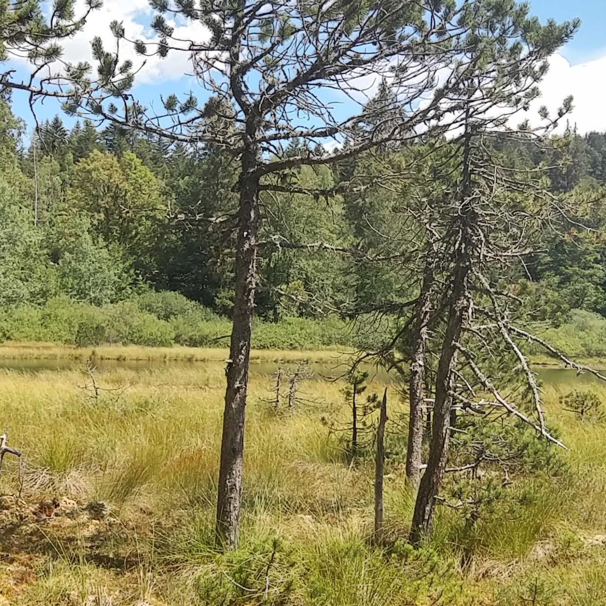
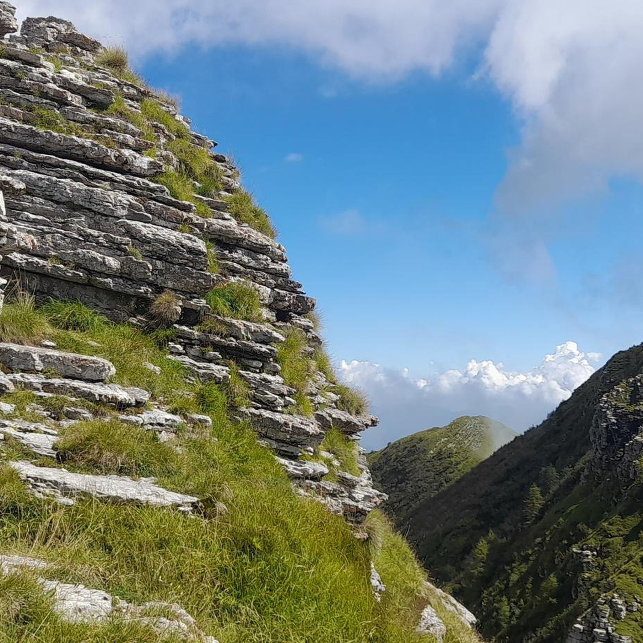
Mountaineering routes around Vaulnaveys-Le-Haut are situated in a region characterized by significant elevation changes, alpine lakes, and dense forests, offering challenging ascents and descents. The landscape features prominent mountain peaks and valleys, typical of the Dauphiné Alps. This area provides a rugged environment for experienced mountaineers seeking demanding trails.
Best mountaineering routes around Vaulnaveys-Le-Haut
- The most popular mountaineering route is Lac du Crozet loop from Freydières, a 7.4 miles (11.9 km) trail that takes 5 hours 20 minutes to…
Last updated: July 1, 2026
5.0
(3)
19
hikers
21.1km
10:20
1,490m
1,490m
Hard mountaineering route. Very good fitness required. Sure-footedness, sturdy shoes and alpine experience required.
17
hikers
12.3km
06:14
1,060m
1,060m
Hard mountaineering route. Very good fitness required. Sure-footedness, sturdy shoes and alpine experience required.

Sign up for free
5.0
(1)
16
hikers
10.2km
05:52
850m
850m
Hard mountaineering route. Very good fitness required. Sure-footedness, sturdy shoes and alpine experience required.
5.0
(2)
9
hikers
17.8km
08:00
1,120m
1,120m
Hard mountaineering route. Very good fitness required. Mostly accessible paths. Sure-footedness required.
10
hikers
14.0km
07:00
1,140m
1,140m
Hard mountaineering route. Very good fitness required. Sure-footedness, sturdy shoes and alpine experience required.
Get access to more routes and recommendations from other explorers.
Sign up for free
Already have an account?
Our route recommendations are based on thousands of hikes, rides, and runs completed by other people on komoot.
Start today with a free account
Your next adventure awaits.
Login or Signup
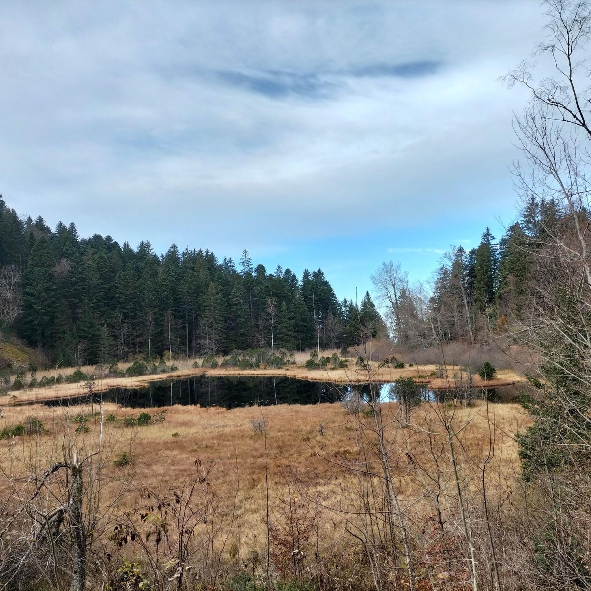
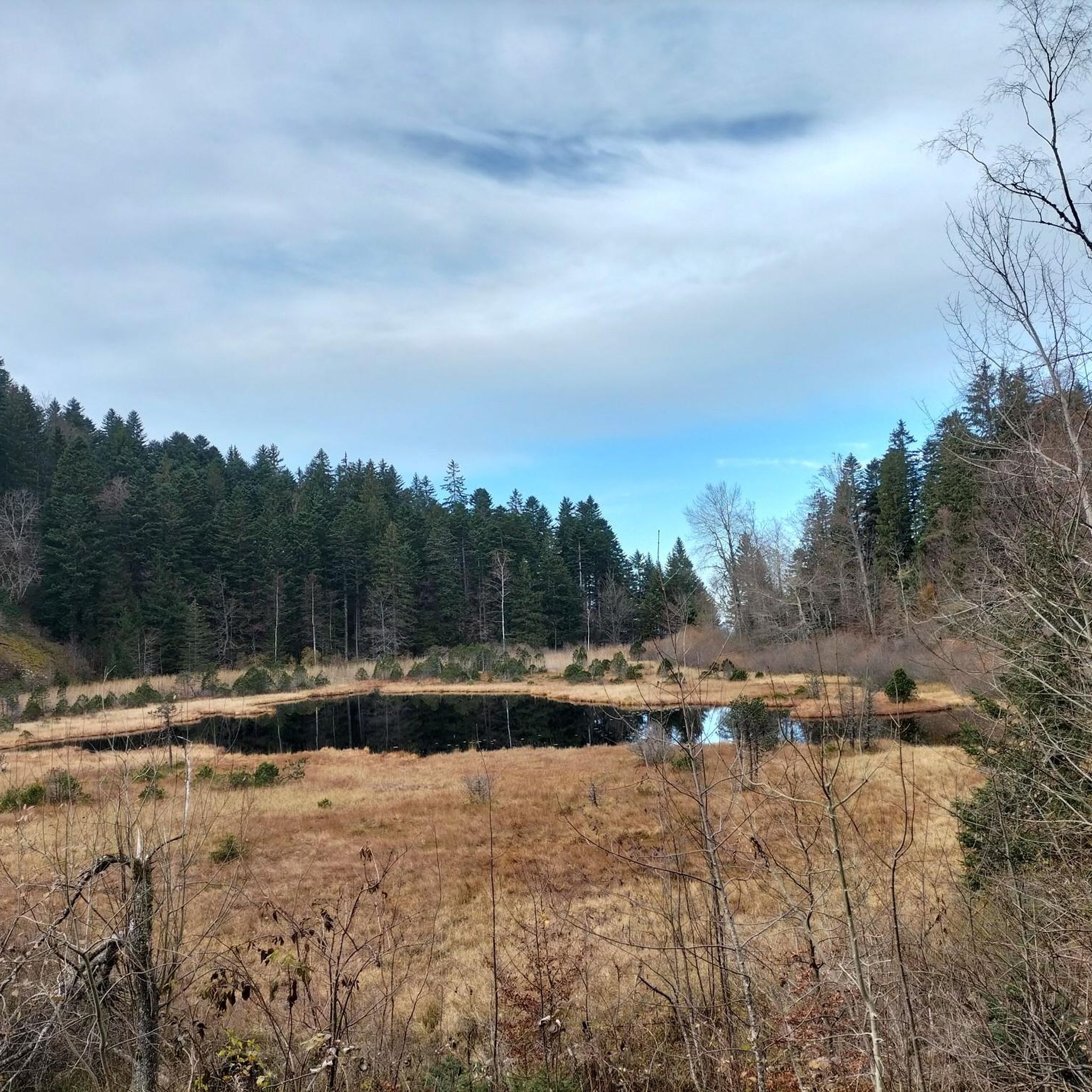
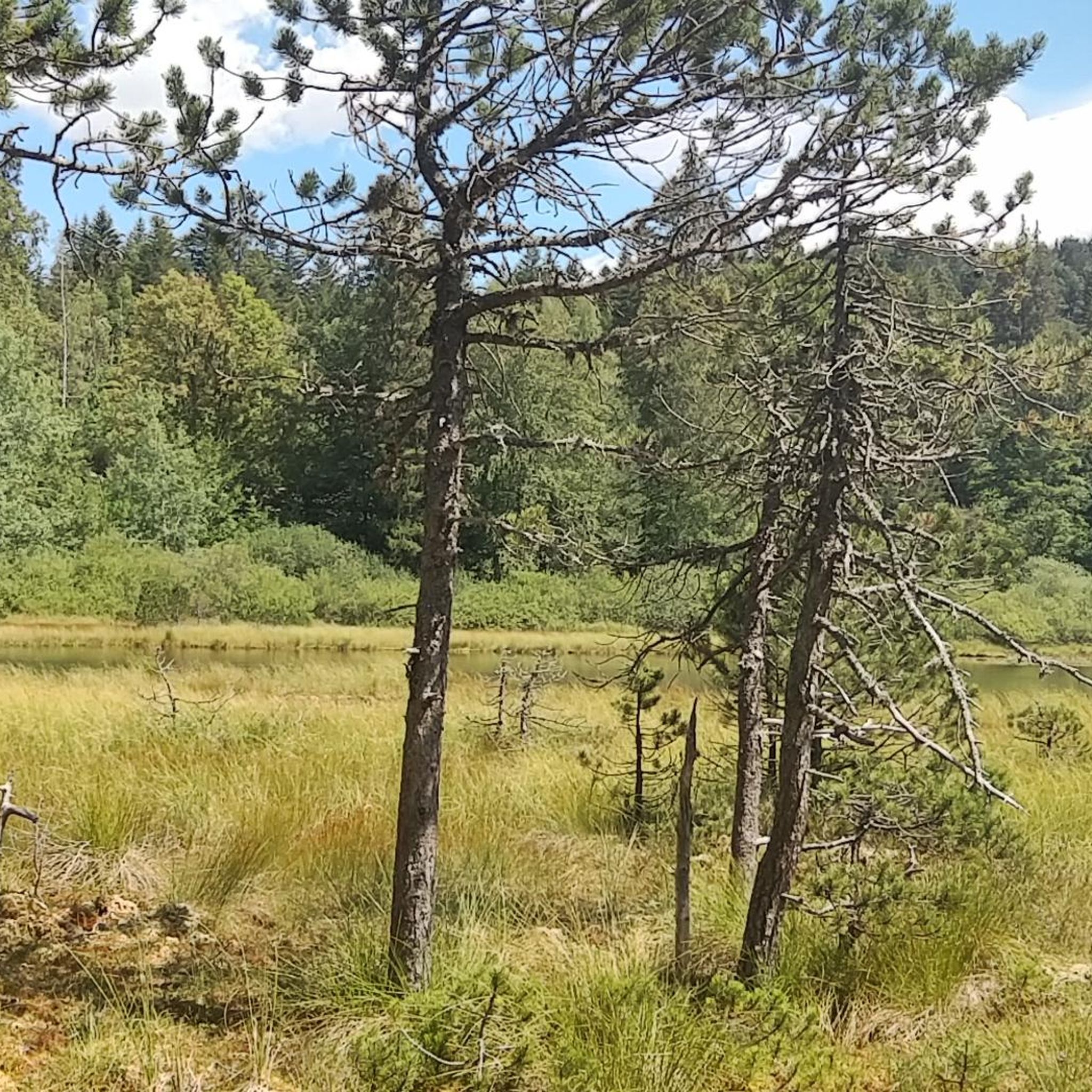
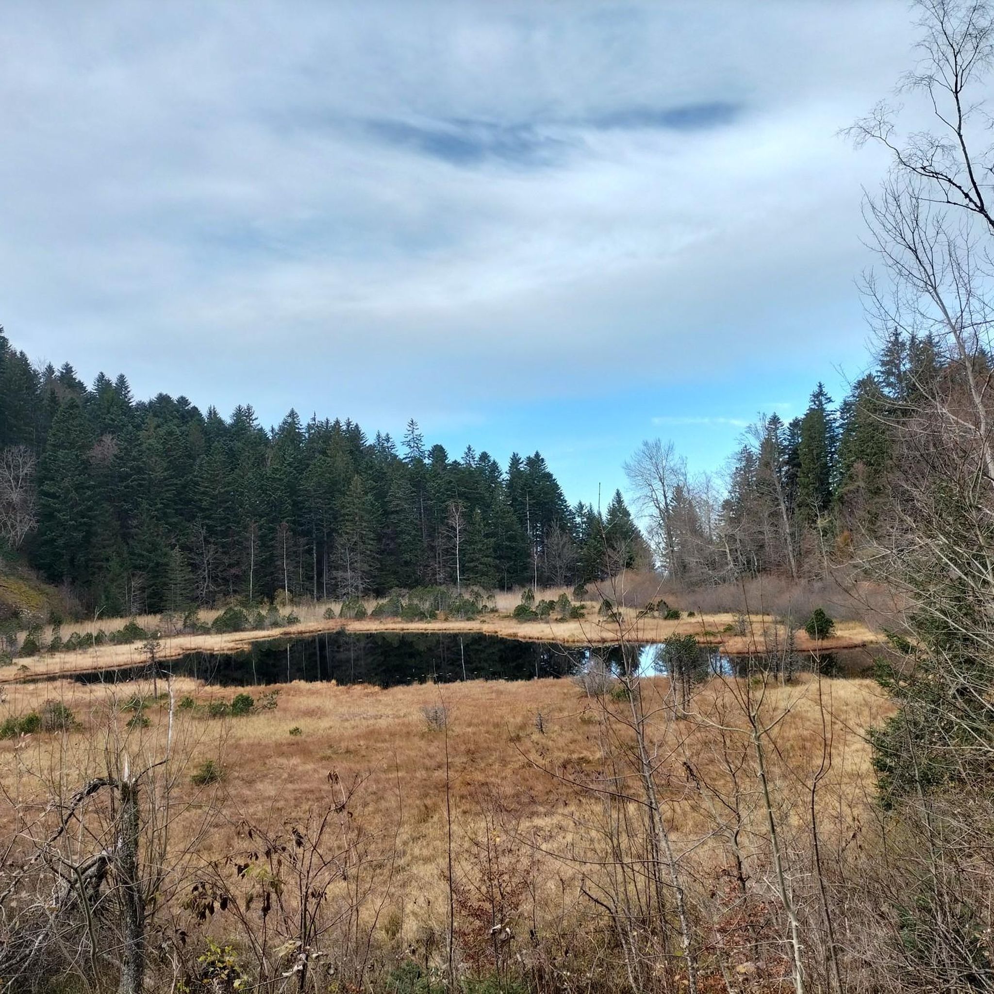
Tips from the Community

Very beautiful view when the sky is clear, remember to take a windbreaker at the summit, you will find ibexes. The area is really very simple and does not require strong hiking / trail experience (for the altitude 2930 I think)
1
0
In winter as in summer it is perfect, full of spots for bivouacking, a walk or a trail, there are no dangerous areas, and all the passages are simple and well indicated! 👌
0
0
Magnificent lake! Accessible to all! As a bonus, you'll find ibexes and a few marmots if you're lucky. For the more courageous, you can climb to an altitude of 2,900 m by continuing on the path with a magnificent view if the sky is clear!
0
0

Very beautiful refuge for bivouacking!
0
0

Magnificent waterfall several dozen meters high which brings a lot of freshness!
0
0

A high-altitude lake, very quiet and rarely visited. The lake is at an altitude of 2,115 m. It offers breathtaking 360° views.
0
0

Great refuge, we were very well received and the terrace is ideal for spending the evening and having a good breakfast in the sun!
0
0

Frequently Asked Questions
What is the overall difficulty level of mountaineering routes around Vaulnaveys-Le-Haut?
The mountaineering routes in Vaulnaveys-Le-Haut are predominantly challenging, designed for experienced mountaineers. Out of 17 routes, 16 are rated as difficult, with only one moderate option. The terrain features significant elevation changes, high mountain peaks, and dense forests.
Are there any easy or family-friendly mountaineering routes in Vaulnaveys-Le-Haut?
Vaulnaveys-Le-Haut is known for its rugged and demanding alpine environment, with most mountaineering routes rated as difficult. There are no easy routes listed, and only one moderate route. Therefore, it's generally not considered ideal for beginners or young families seeking easy trails.
What kind of natural attractions can I expect to see along the mountaineering routes?
The routes often feature stunning alpine lakes and mountain passes. You might encounter beautiful spots like Lake Achard, Lake Crozet, or the Col de Chamrousse. These natural landmarks are characteristic of the Dauphiné Alps and offer breathtaking views.
What is the best time of year for mountaineering in Vaulnaveys-Le-Haut?
Given the alpine nature of Vaulnaveys-Le-Haut, the best time for mountaineering is typically during the late spring, summer, and early autumn months (June to September). During this period, snow has usually melted from higher elevations, and weather conditions are generally more stable, though always be prepared for rapid changes in mountain weather.
Are there any circular mountaineering routes available?
Yes, many of the mountaineering routes in Vaulnaveys-Le-Haut are designed as loops, allowing you to start and finish at the same point. Examples include the challenging Via Ferrata du Grand Bec – Lac de Brouffier loop from La Morte or the Lake Bernard – La Pra Refuge loop from La Gafe.
What do other mountaineers say about the routes in Vaulnaveys-Le-Haut?
The routes in Vaulnaveys-Le-Haut are highly regarded by the komoot community, holding an impressive average rating of 4.8 stars from over 20 reviews. Mountaineers often praise the challenging ascents, the stunning alpine lake views, and the rugged, unspoiled nature of the trails.
What kind of gear should I bring for mountaineering in this region?
Given the difficult nature of the routes and the alpine environment, it's essential to be well-prepared. Recommended gear includes sturdy mountaineering boots, appropriate layers of clothing for varying weather conditions, navigation tools (map, compass, or GPS), sufficient water and food, and potentially trekking poles. For specific routes like Via Ferrata, specialized climbing equipment will be necessary.
Are there opportunities for wildlife spotting on these trails?
The diverse alpine landscape of Vaulnaveys-Le-Haut, with its forests and high peaks, offers potential for wildlife encounters. Keep an eye out for local fauna such as chamois, ibex, marmots, and various bird species. Maintaining quiet and observing from a distance will increase your chances of spotting them.
Is it possible to access these mountaineering routes using public transport?
While some trailheads might be accessible by local bus services, direct public transport to all starting points, especially in more remote alpine areas, can be limited. It's advisable to research specific routes and their access options in advance. Many mountaineers opt for personal vehicles to reach the trailheads.
Are there any permits required for mountaineering in Vaulnaveys-Le-Haut?
Generally, no specific permits are required for day mountaineering on established trails in the Vaulnaveys-Le-Haut area. However, if you plan to engage in activities like bivouacking or accessing certain protected zones, it's always best to check with local authorities or park information centers for any specific regulations or restrictions that might apply.
Can I find any viewpoints or scenic spots along the routes?
Absolutely! The region is rich with stunning vistas. Many routes lead to prominent peaks or offer panoramic views of the surrounding Dauphiné Alps. Keep an eye out for highlights like Croix de Pinet, which provides an excellent vantage point.
What is the longest mountaineering route in the area?
One of the longer and more demanding routes is the Lac du Crozet – Lake Doménon loop from La Pliou - Pré Raymond. This difficult path covers approximately 13.0 miles (20.9 km) and involves significant elevation gain, connecting two notable alpine lakes.
Most popular routes around Vaulnaveys-Le-Haut
Most popular attractions around Vaulnaveys-Le-Haut

Get inspired with the komoot mobile app


Explore more
Browse the best Mountain Hikes & Routes in other regions.
