The best mountain hikes around Brié-Et-Angonnes
5.0
(8)
74
hikers
7
hikes
Mountaineering routes around Brié-Et-Angonnes offer access to the foothills of the Belledonne and Oisans massifs, providing a gateway to diverse alpine terrain. The region features varied landscapes, including forested areas, high-altitude lakes, and routes that lead to summits with expansive panoramic views of surrounding mountain ranges like Chartreuse and Vercors. This area serves as a strategic starting point for exploring more challenging ascents within these larger mountain systems.
Best mountaineering routes around Brié-Et-Angonnes
- The most popular mountaineering route is Lake…
Last updated: July 1, 2026
5.0
(2)
9
hikers
17.8km
08:00
1,120m
1,120m
Hard mountaineering route. Very good fitness required. Mostly accessible paths. Sure-footedness required.
5.0
(1)
9
hikers
11.0km
04:02
470m
470m
Hard mountaineering route. Good fitness required. Sure-footedness, sturdy shoes and alpine experience required.

Sign up for free
5.0
(2)
9
hikers
12.1km
05:21
800m
800m
Hard mountaineering route. Very good fitness required. Sure-footedness, sturdy shoes and alpine experience required.
8
hikers
15.9km
06:06
870m
870m
Hard mountaineering route. Very good fitness required. Sure-footedness, sturdy shoes and alpine experience required.
5.0
(1)
4
hikers
13.2km
05:12
640m
640m
Hard mountaineering route. Very good fitness required. Sure-footedness, sturdy shoes and alpine experience required.
Get access to more routes and recommendations from other explorers.
Sign up for free
Already have an account?
Our route recommendations are based on thousands of hikes, rides, and runs completed by other people on komoot.
Start today with a free account
Your next adventure awaits.
Login or Signup
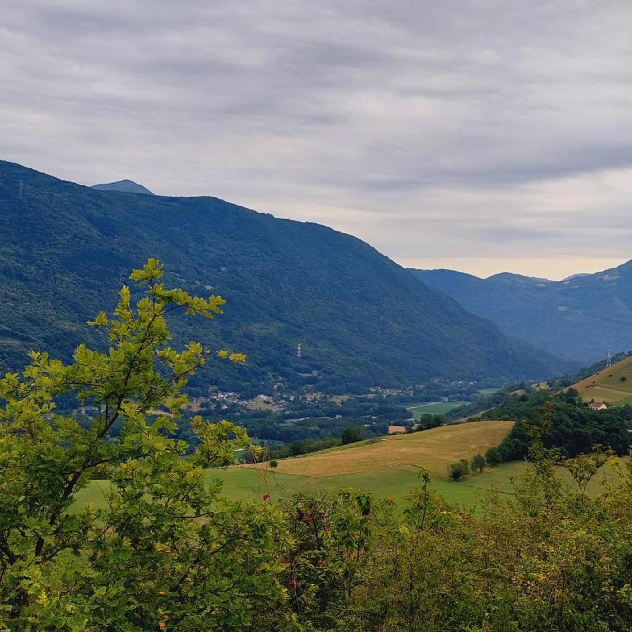
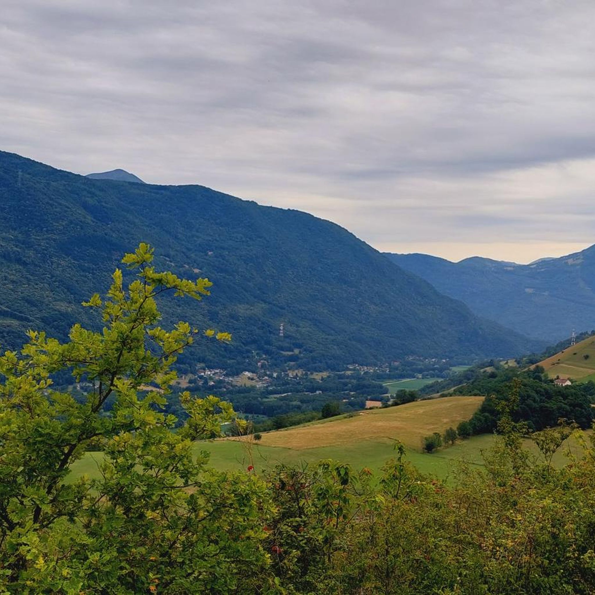
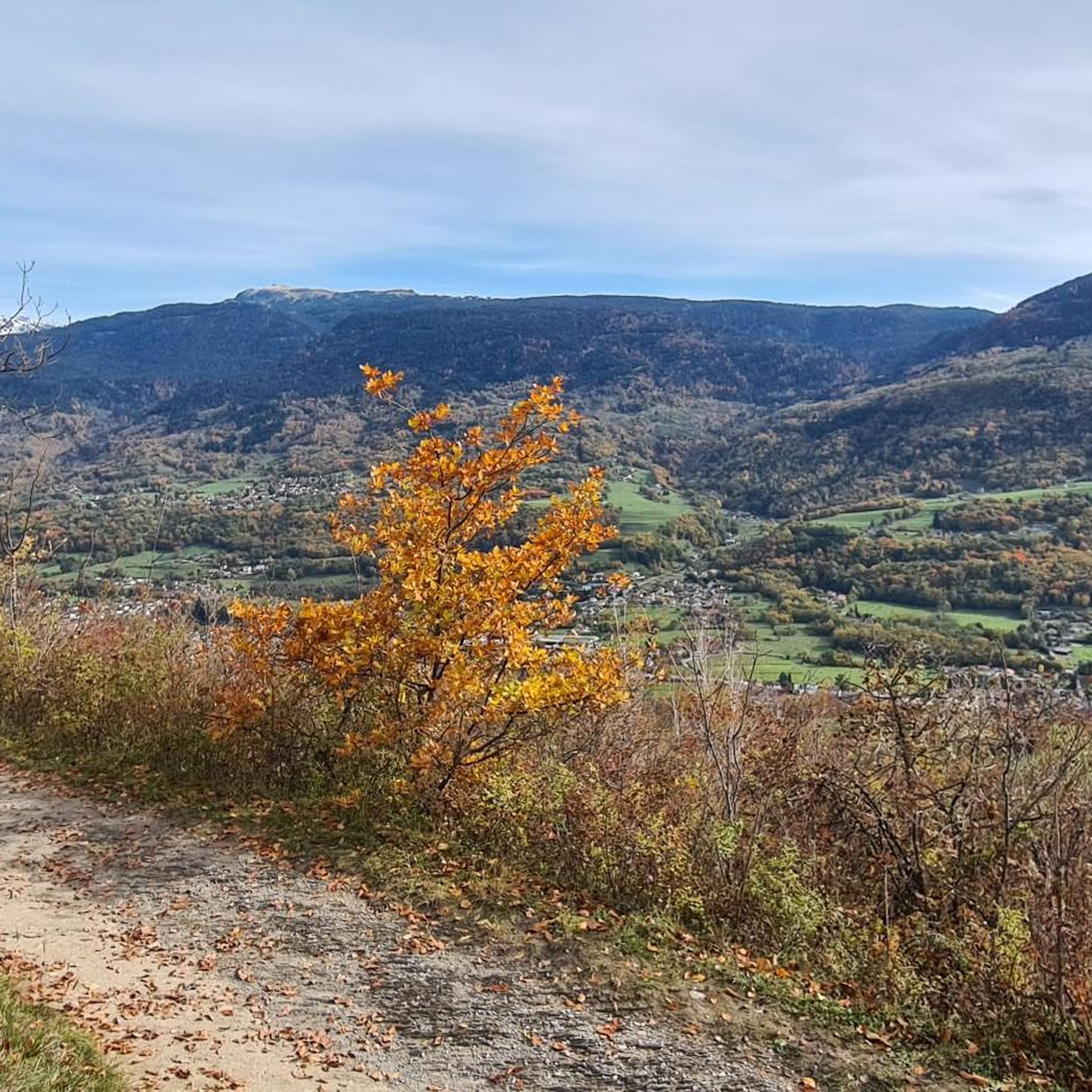
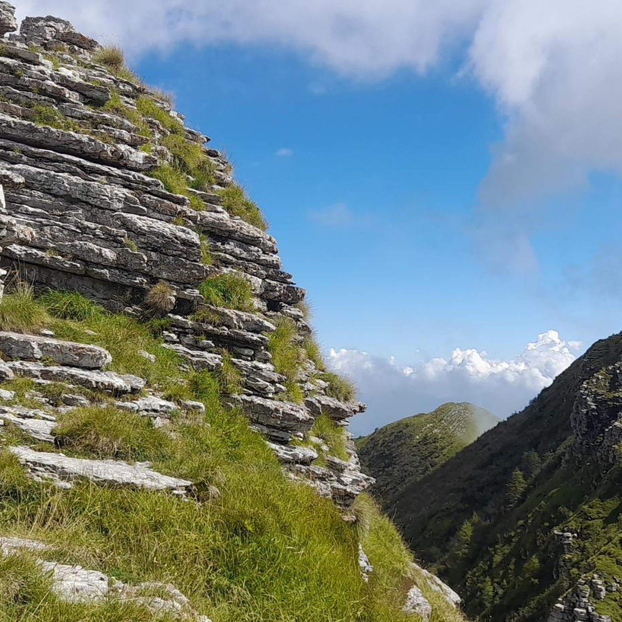
Tips from the Community

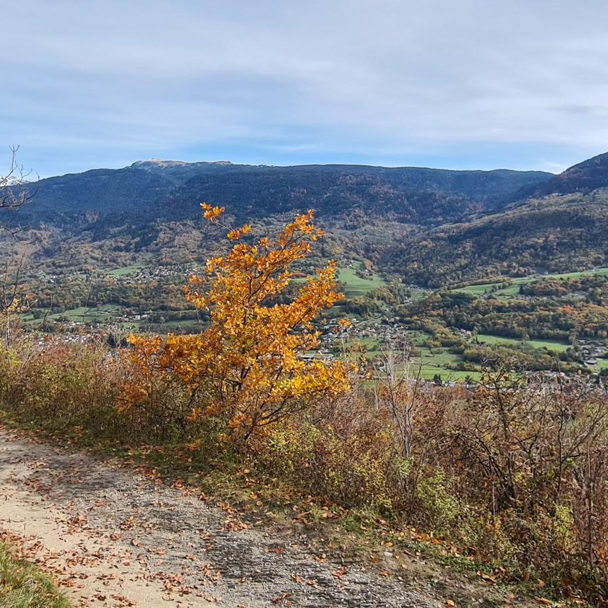
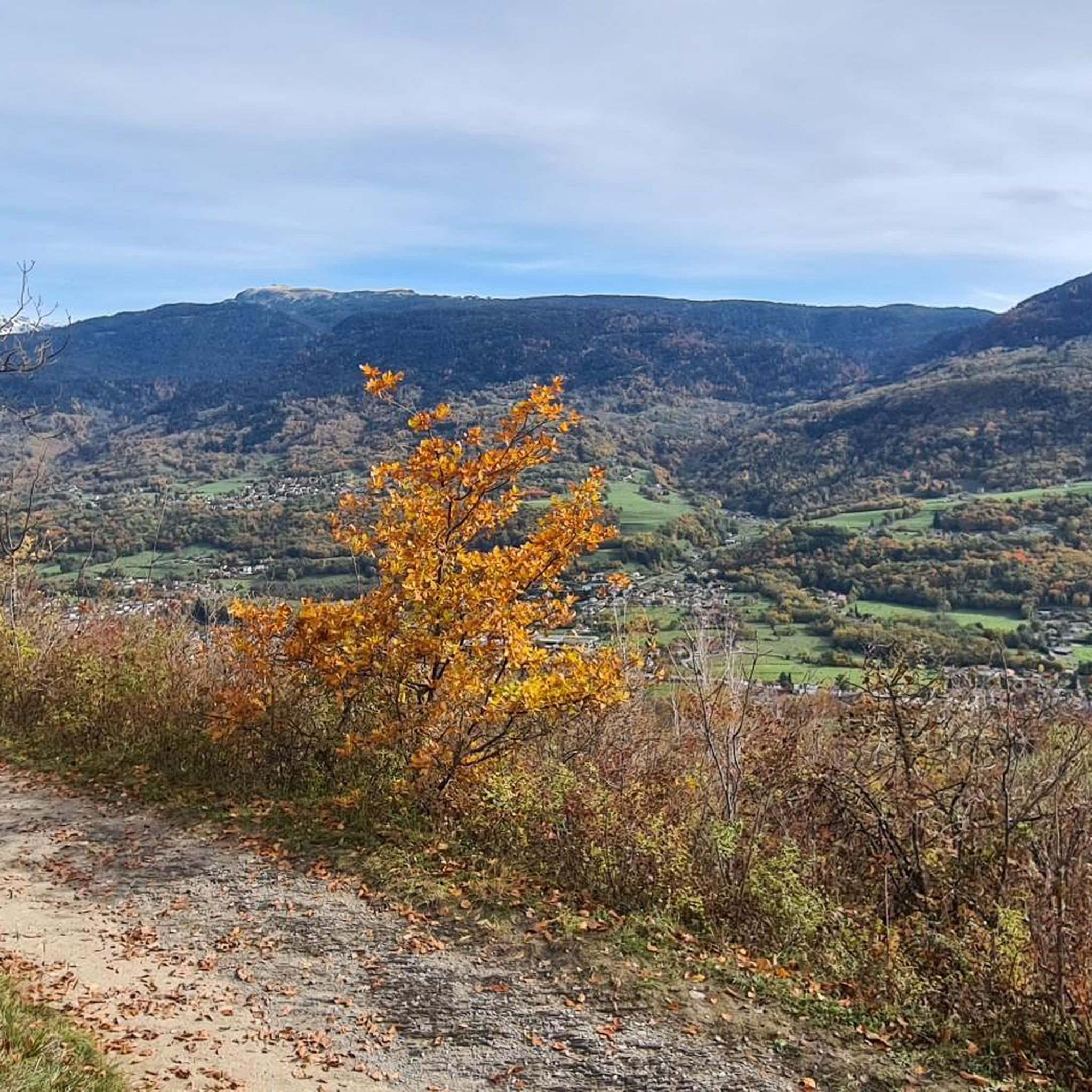
This spot offers a wider view of the Chartreuse mountains. Although still accessible, the trails begin to resemble those found in the Chartreuse mountains once you pass the Bastille.
0
0
The appeal of climbing Rachais lies in these ridges. They offer views of the Chartreuse mountains and invite you to venture further into the massif.
0
0

Beautiful view of the city, both day and night. Drinking water available.
1
0


The Robert Lakes are very beautiful, and the mountain range surrounding them creates a magnificent setting. The spot seems popular with campers (arrive early for the best spot). The GR trail between Chamrousse Le Recoin and the Robert Lakes, which passes by Lac des Prouettes, is quite difficult (steep) on the Robert Lakes side. The trail higher up the mountain is easier (beware of the scree slopes for those with short legs).
1
0
One of the most beautiful lake spots in the Belledonne massif
0
0

Very beautiful refuge for bivouacking!
0
0
Frequently Asked Questions
How many mountaineering routes are available around Brié-Et-Angonnes?
There are 7 mountaineering routes available around Brié-Et-Angonnes on komoot. These routes primarily focus on difficult terrain, offering challenging ascents and rewarding views.
What is the best time of year for mountaineering in the Brié-Et-Angonnes area?
The best time for mountaineering around Brié-Et-Angonnes is generally from late spring to early autumn (May to October). During these months, the weather is typically more stable, and trails are free of snow, making for safer and more enjoyable ascents. Winter mountaineering is possible but requires specific gear and experience due to snow and ice conditions, especially in the higher reaches of the Belledonne and Oisans massifs.
Are there any family-friendly mountaineering routes near Brié-Et-Angonnes?
The mountaineering routes directly listed for Brié-Et-Angonnes are all rated as 'difficult,' making them less suitable for young children or beginners. However, the broader region offers many easier hiking and walking opportunities, such as those around the Crête de Brie or the natural reserve of the Étang de Jarrie, which are more family-friendly. For specific mountaineering, these routes are best suited for experienced families with older children.
Can I bring my dog on the mountaineering trails around Brié-Et-Angonnes?
While many trails in France are dog-friendly, specific regulations can vary, especially within protected natural areas or national parks that some of these routes might border or enter. It's always best to check local signage or park regulations for the specific route you plan to undertake. Generally, dogs should be kept on a leash to protect wildlife and ensure the safety of other hikers.
What kind of terrain can I expect on these mountaineering routes?
The mountaineering routes around Brié-Et-Angonnes offer diverse terrain. You can expect forested areas, rocky paths, and alpine environments as you ascend towards higher elevations. Routes like the Lake Bernard – La Pra Refuge loop from La Gafe involve significant elevation gain, leading to high-altitude refuges, while others like the Chamrousse – Lake Pourettes loop from Chamrousse explore scenic alpine lakes and mountain passes.
Are there any circular mountaineering routes available?
Yes, several circular mountaineering routes are available. For example, the Lake Bernard – La Pra Refuge loop from La Gafe is a challenging 17.8 km circular route. Another option is the Lake Pourettes – Lake Achard loop from Chamrousse, covering 13.5 km with significant elevation changes.
What are some notable natural attractions or landmarks I can see along these routes?
The region is rich in natural beauty. Many routes offer panoramic views of the Belledonne, Oisans, Chartreuse, and Vercors massifs. You might encounter beautiful alpine lakes such as Lake Achard or the Robert Lakes. Some trails also lead to summits like La Croix de Chamrousse Summit, offering expansive vistas.
Where can I find parking for the mountaineering trailheads?
Parking availability varies by trailhead. For routes starting from areas like Chamrousse or La Gafe, designated parking areas are generally available, often near ski resorts or mountain villages. For routes closer to urban centers like Grenoble, public parking might be available, but it's advisable to check specific starting points for detailed parking information before your trip.
Is public transport available to reach the mountaineering trailheads?
Public transport options exist, particularly for trailheads accessible from larger towns like Grenoble or Chamrousse. Regional bus services often connect these areas. For example, Chamrousse, a common starting point for several routes, is typically accessible by bus from Grenoble. However, for more remote starting points, public transport might be limited, and a car would be necessary. Always check current schedules and routes with local transport providers.
Are there any cafes or pubs near the mountaineering trails in Brié-Et-Angonnes?
Brié-Et-Angonnes itself is a smaller commune, but nearby towns and mountain resorts offer amenities. For routes starting in Chamrousse, you'll find cafes and restaurants. Similarly, towns like Vizille or Grenoble, which serve as access points to the wider region, have a full range of services including cafes, pubs, and accommodation. It's a good idea to plan your refreshment stops in these larger hubs before or after your mountaineering trip.
What do other mountaineers enjoy most about the routes in Brié-Et-Angonnes?
The mountaineering routes around Brié-Et-Angonnes are highly rated by the komoot community, with an average score of 5.0 stars. Reviewers often praise the challenging nature of the trails, the stunning panoramic views from summits, and the diverse alpine landscapes, including beautiful lakes and forested sections. The sense of achievement after completing a difficult ascent is a common highlight.
Are there any wild swimming spots near the mountaineering routes?
Yes, the region boasts several beautiful lakes that are popular for swimming and other water activities. The nearby Lac de Laffrey, one of France's largest natural lakes, along with Lacs Petichet and Pierre Châtel, offers opportunities for swimming and relaxation after a challenging mountaineering trip. While not directly on the mountaineering routes, they are easily accessible in the surrounding area.
Most popular routes around Brié-Et-Angonnes
Most popular attractions around Brié-Et-Angonnes

Get inspired with the komoot mobile app


Explore more
Browse the best Mountain Hikes & Routes in other regions.
