The best walks and hikes around Saint-Cergues
4.6
(670)
5,345
hikers
323
hikes
Hiking around Saint-Cergues offers access to the Jura mountains, situated at an elevation of 1041 meters. The region features tranquil forests, expansive meadows, and pastures, characteristic of the Jura landscape. It provides views over Lake Geneva, the Alpine chain, and Mont Blanc, with the prominent La Dôle peak reaching 1,677 meters. Saint-Cergues is located within the Parc Jura Vaudois, a protected area known for its diverse geology, flora, and fauna.
Best hiking trails around Saint-Cergues
- The most popular hiking route…
Last updated: July 9, 2026
4.7
(26)
223
hikers
Moderate hike. Good fitness required. Mostly accessible paths. Sure-footedness required.
4.6
(14)
84
hikers
15.5km
05:35
940m
940m
Hard hike. Very good fitness required. Mostly accessible paths. Sure-footedness required.

Sign up for free
5.0
(2)
53
hikers
3.84km
01:13
140m
150m
Moderate hike. Great for any fitness level. Mostly accessible paths. Sure-footedness required.
4.2
(5)
66
hikers
Moderate hike. Good fitness required. Mostly accessible paths. Sure-footedness required.
4.7
(3)
32
hikers
7.09km
02:20
330m
330m
Moderate hike. Good fitness required. Easily-accessible paths. Suitable for all skill levels.
Get access to more routes and recommendations from other explorers.
Sign up for free
Already have an account?
Our route recommendations are based on thousands of hikes, rides, and runs completed by other people on komoot.
Start today with a free account
Your next adventure awaits.
Login or Signup
Tips from the Community

No bicycle access to the summit. Highest point of the road
0
0

Bumpy and rewarding descent.
0
0
Impressive views and good trails.
1
0


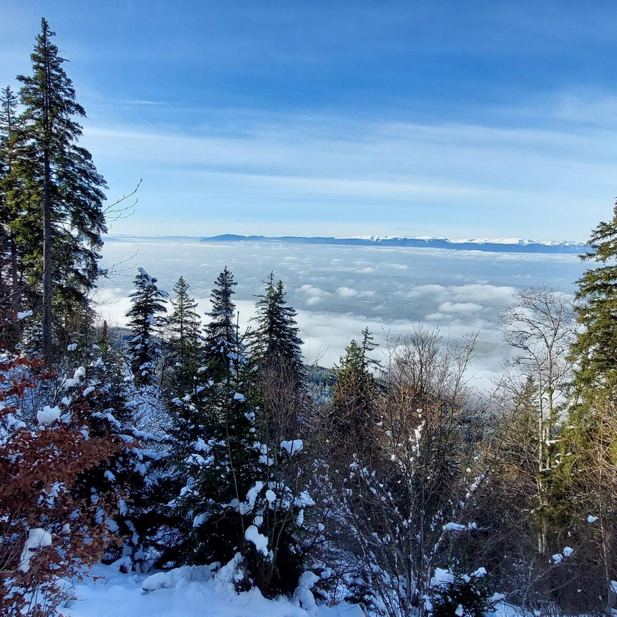
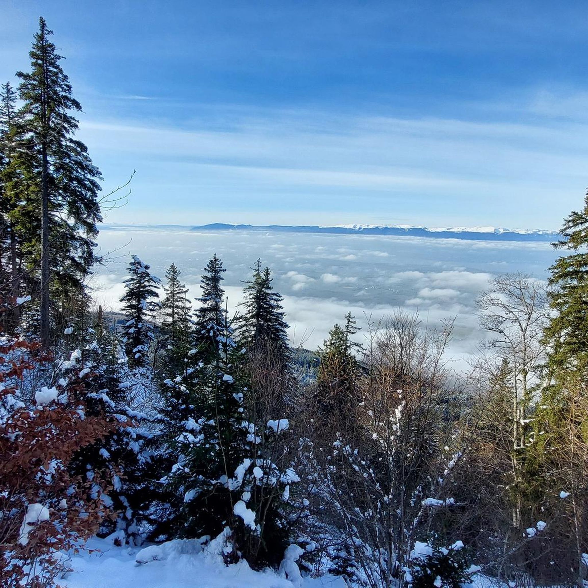
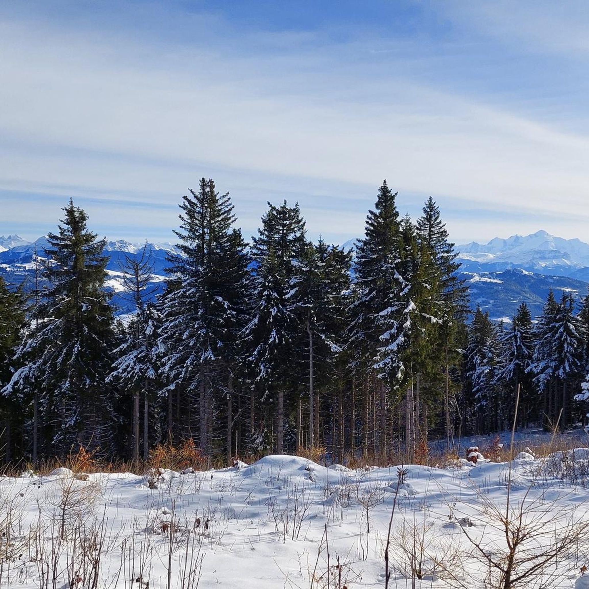
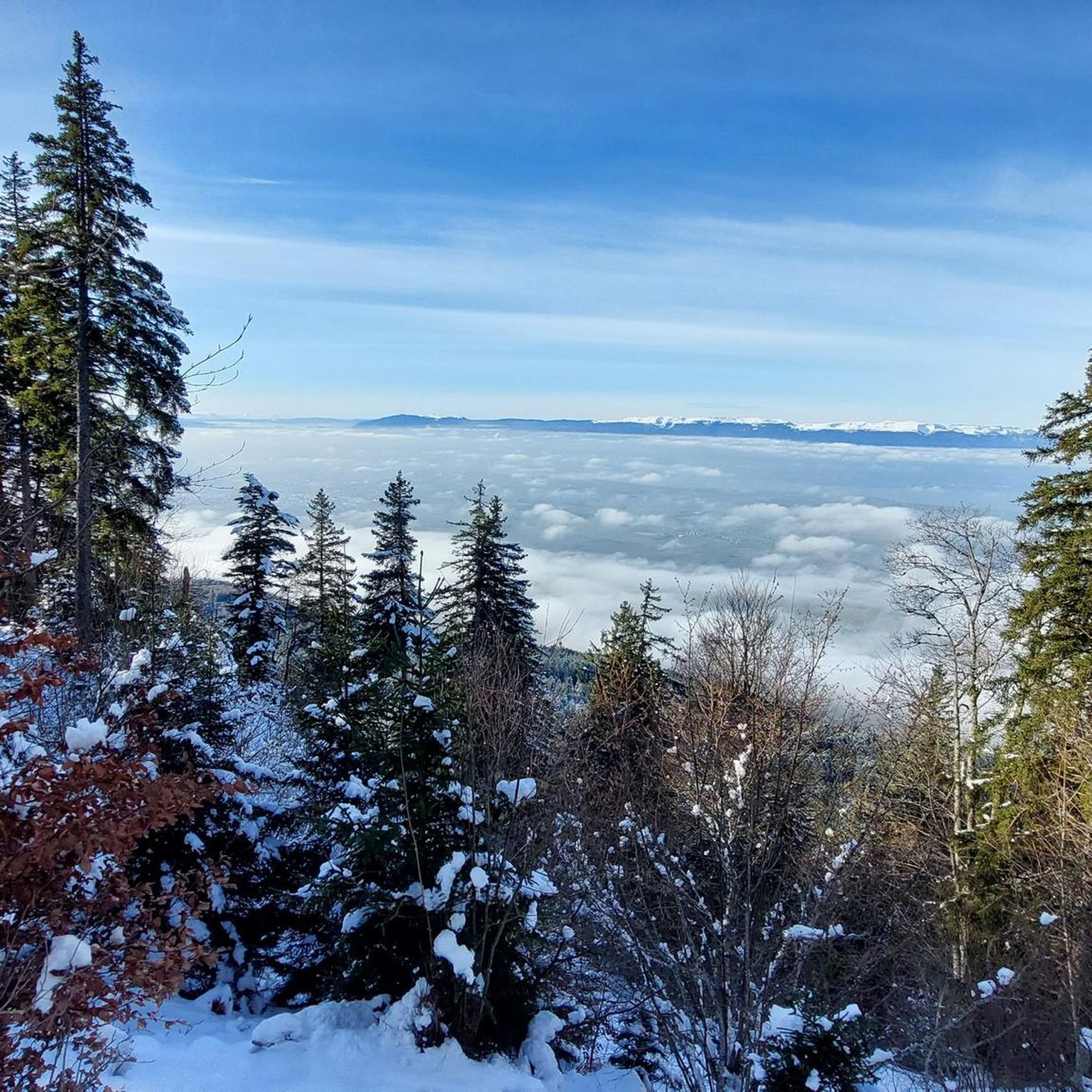
Beautiful view of the Mont Blanc massif
0
0

An interesting hike with varied passages in terms of path types, a beautiful view once on the ridge (Annemasse region, Geneva, the Lake, etc.) the uphill section is short but steep, a pleasant surprise from this route that I didn't know, a nice alternative to Salève for a hike in the area.
0
0

The Voirons signal, culminating at 1,485 meters, offers an exceptional panorama of the Alps, the Jura, and on a clear day, Mont Blanc. Accessible through the Voirons forest, this viewpoint is worth it, but the reward is breathtaking. The trails wind between fir trees and beech trees, offering glimpses of the Geneva Valley and the lake below. Perfect for a contemplative break, it is a popular site for mountain bikers and nature lovers.
6
0
Frequently Asked Questions
How many hiking trails are available around Saint-Cergues?
There are over 300 hiking routes around Saint-Cergues, offering a wide range of options for all fitness levels. This includes 134 easy routes, 156 moderate routes, and 22 more challenging trails.
What kind of landscapes and natural features can I expect to see while hiking around Saint-Cergues?
Hiking around Saint-Cergues immerses you in quintessential Jura scenery, characterized by tranquil forests, vast, flower-filled meadows, and pastures often delineated by dry stone walls. You'll also encounter the impressive peak of La Dôle, and enjoy breathtaking panoramic views over Lake Geneva, the entire Alpine chain, and Mont Blanc. The region is part of the Parc Jura Vaudois, a protected area showcasing diverse geology, flora, and fauna.
Are there any family-friendly or easy hikes in the Saint-Cergues area?
Yes, Saint-Cergues offers many easy routes suitable for families. For a relatively short and accessible option, consider the Signal of the Voirons – Notre-Dame des Voirons loop from Quartier Guyon, which is 4.7 km long and takes about 1 hour 25 minutes through forested areas. The region generally has paths catering to all levels, including many gentle walks through meadows and forests.
Can I bring my dog on the hiking trails in Saint-Cergues?
Many trails in the Saint-Cergues region are dog-friendly, allowing you to explore the Jura landscapes with your canine companion. It's always recommended to keep dogs on a leash, especially in areas with livestock or protected wildlife, and to check local regulations for specific trails within the Parc Jura Vaudois.
Are there any circular walks available around Saint-Cergues?
Yes, many routes around Saint-Cergues are designed as circular walks, allowing you to start and end at the same point. An example is the Brantaz Peak – Signal of the Voirons loop from Notre-Dame des Voirons, a moderate 12 km trail. Another option is the Brantaz Peak – View of Lake Geneva loop from Quartier Guyon, which is 7.1 km long and offers views of Lake Geneva.
What are some notable viewpoints or landmarks I can discover on a hike?
The region is rich in scenic viewpoints. The peak of La Dôle offers majestic panoramic views of Lake Geneva and Mont Blanc. You can also find highlights like the Signal of the Voirons and Le Signal des Voirons Summit, which provide expansive vistas. The Pointe de Miribel is another excellent spot for views.
Are there any trails that feature waterfalls?
Yes, if you're looking for trails with waterfalls, consider the Le Signal des Voirons Summit – Penaz Waterfall loop from Notre-Dame des Voirons. This moderate 8.5 km route includes the Penaz Waterfall as a point of interest along the way.
What is the best time of year to go hiking in Saint-Cergues?
Saint-Cergues is a year-round destination. Spring and summer offer lush meadows and vibrant forests, ideal for enjoying the full bloom of nature. Autumn brings stunning fall foliage to the Jura forests. While primarily known for summer hiking, the Col de la Givrine area is also popular for winter sports, suggesting possibilities for snowshoeing or winter walks on designated trails.
How do other hikers rate the trails in Saint-Cergues?
The hiking routes in Saint-Cergues are highly regarded by the komoot community, with an average rating of 4.6 stars from over 590 reviews. Hikers frequently praise the quiet woodlands, the well-marked paths, and the stunning panoramic views of Lake Geneva and the Alps.
Are there any challenging hikes for experienced trekkers?
Yes, for those seeking a more demanding experience, Saint-Cergues offers challenging routes. The Signal of the Voirons – Notre-Dame des Voirons loop from Machilly is a difficult 15.2 km path with significant elevation gain, providing expansive vistas and a rewarding challenge for experienced hikers.
What are the options for public transport and parking when hiking in Saint-Cergues?
Saint-Cergues is accessible by public transport, particularly via train, which can take you to the village itself or to areas like La Givrine, a common starting point for hikes. Parking is generally available in and around Saint-Cergues and at popular trailheads. It's advisable to check specific parking availability for your chosen starting point, especially during peak season.
Are there any lakes or bodies of water to see along the trails?
While Saint-Cergues is known for its mountain views, you can find smaller water features. For instance, La Gouille aux Morts is a lake highlight in the vicinity. Additionally, many trails offer distant views of Lake Geneva, providing a beautiful backdrop to your hike.
Most popular routes around Saint-Cergues
Most popular attractions around Saint-Cergues

Get inspired with the komoot mobile app


Explore more
Browse the best Hikes in other regions.
