The best mountain hikes around Montchaboud
5.0
(2)
22
hikers
1
hike
Mountaineering routes around Montchaboud serve as a gateway to the extensive alpine opportunities within the wider Isère department, situated south of Grenoble. The region is characterized by a varied relief of hills and valleys, with surrounding slopes featuring steep meadows and access to significant mountain ranges like the Vercors, Chartreuse, and Oisans. This area provides a diverse landscape for mountaineering, ranging from challenging ascents to routes featuring alpine lakes and mountain passes.
Best mountaineering routes around Montchaboud
- The most popular…
Last updated: May 20, 2026
5.0
(1)
9
hikers
11.0km
04:02
470m
470m
Hard mountaineering route. Good fitness required. Sure-footedness, sturdy shoes and alpine experience required.
6
hikers
15.0km
07:43
1,270m
1,270m
Hard mountaineering route. Very good fitness required. Sure-footedness, sturdy shoes and alpine experience required.

Sign up for free
5.0
(1)
4
hikers
13.2km
05:12
640m
640m
Hard mountaineering route. Very good fitness required. Sure-footedness, sturdy shoes and alpine experience required.
3
hikers
11.6km
04:29
540m
540m
Hard mountaineering route. Good fitness required. Sure-footedness, sturdy shoes and alpine experience required.
Our route recommendations are based on thousands of hikes, rides, and runs completed by other people on komoot.
Start today with a free account
Your next adventure awaits.
Login or Signup
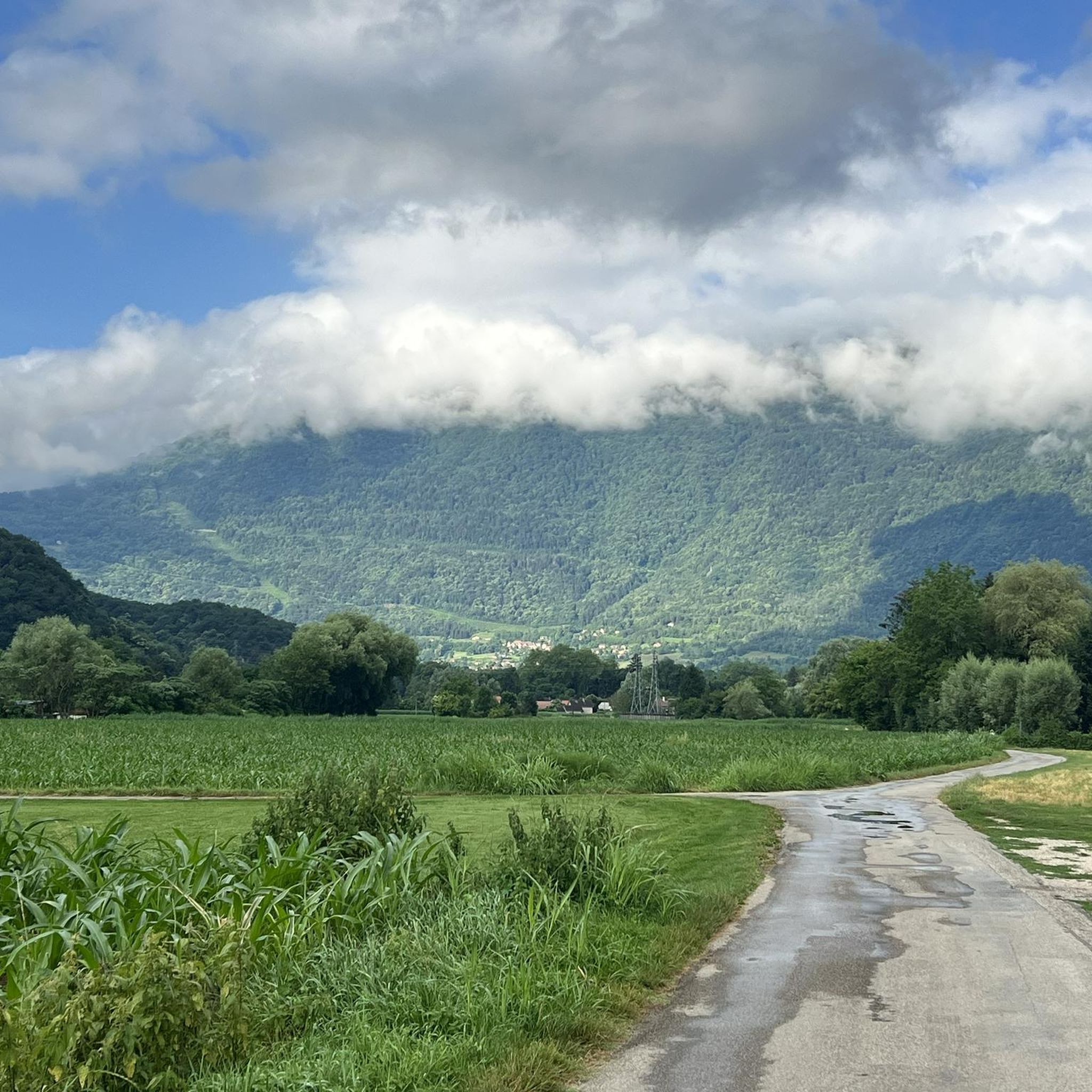
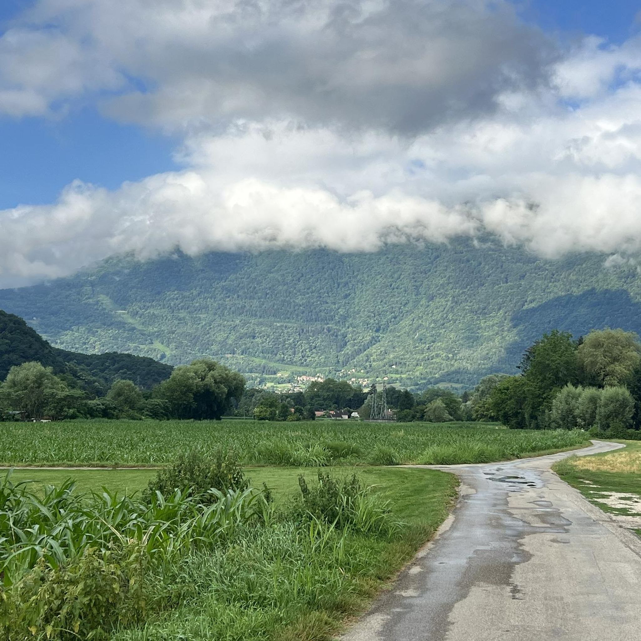
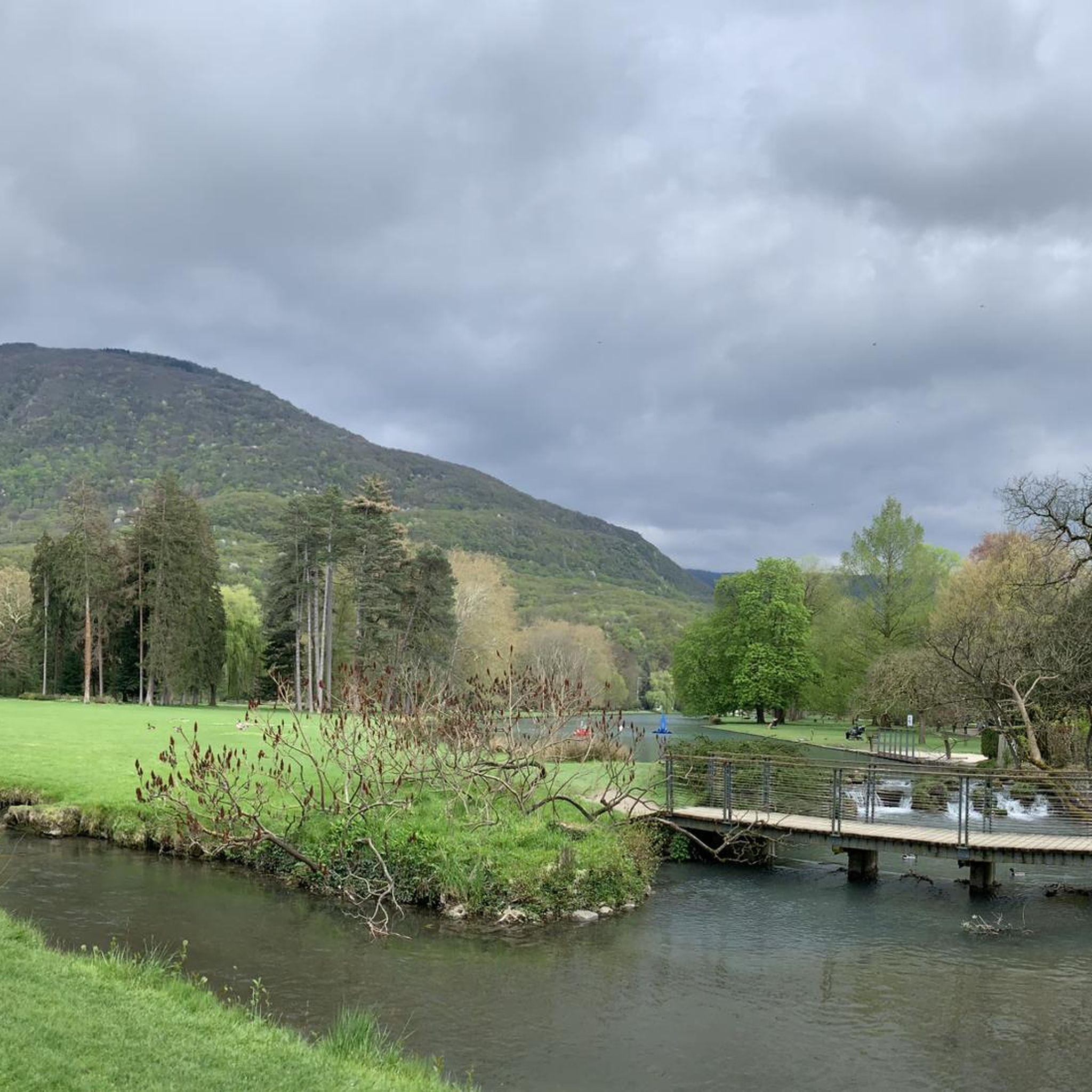
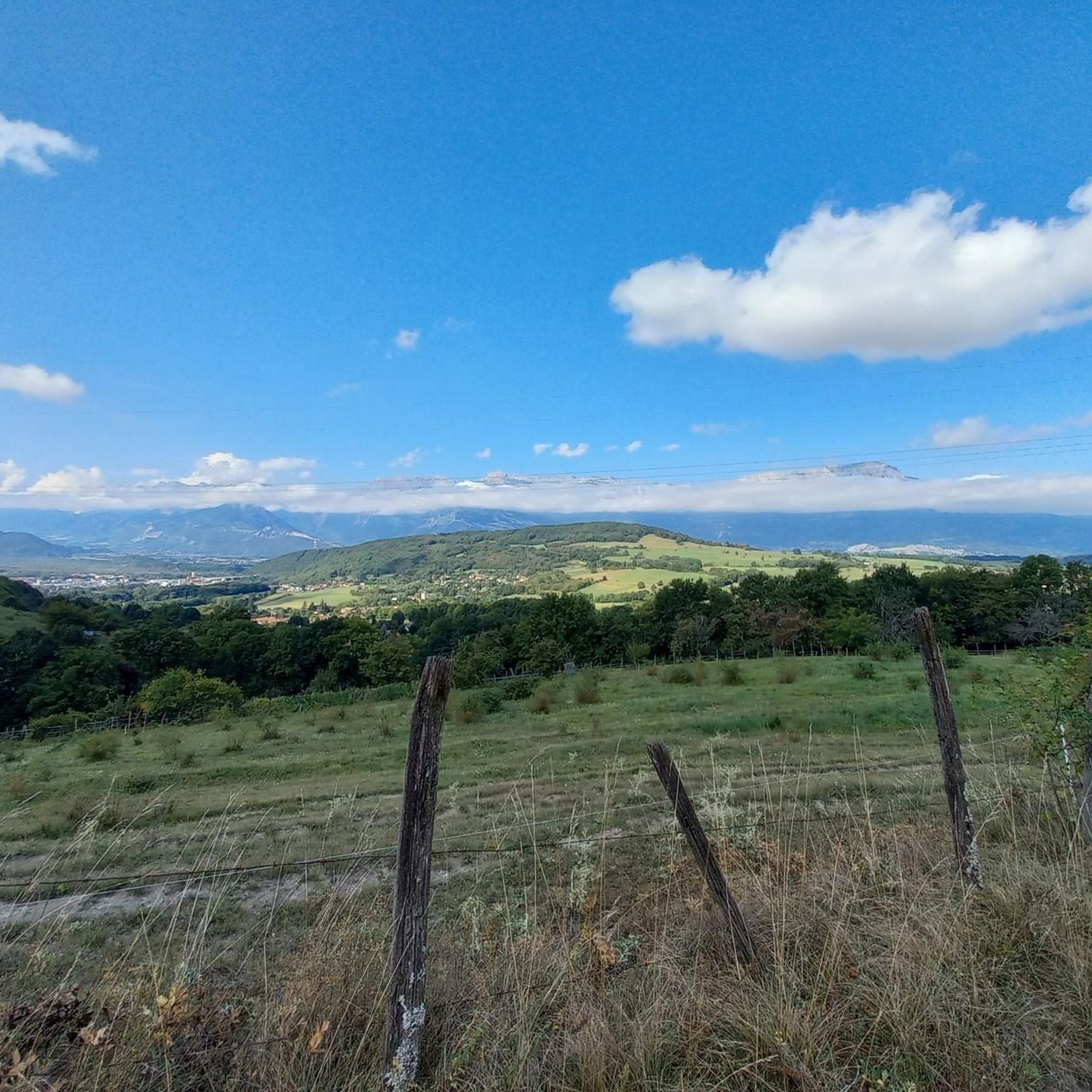
Tips from the Community

The Robert Lakes are very beautiful, and the mountain range surrounding them creates a magnificent setting. The spot seems popular with campers (arrive early for the best spot). The GR trail between Chamrousse Le Recoin and the Robert Lakes, which passes by Lac des Prouettes, is quite difficult (steep) on the Robert Lakes side. The trail higher up the mountain is easier (beware of the scree slopes for those with short legs).
1
0
One of the most beautiful lake spots in the Belledonne massif
0
0


A small mountain lake at 1810 meters above sea level that often goes unnoticed due to its proximity to Roberts Lakes. Keep your eyes peeled for an alpine newt, and cut some pourettes (chives) for your evening meal.
1
0

small D+, and 2 to 3 hours to do it, there I was with my wife so easy climb and descent
0
0
victory of Lance Armstrong in a time trial it seems to me
1
1

Superb hike! Watch out for the fox, several tents have been visited by a fox looking for food (he takes trash bags and trash...) he has also broken tents, not far from the refuge next to Robert Lakes
1
0

Very mineral universe. On the scree part, you have to follow the cairns to find your bearings and follow the right path.
0
1
Frequently Asked Questions
What kind of terrain can I expect on mountaineering routes around Montchaboud?
The mountaineering routes around Montchaboud offer a diverse landscape, characterized by a varied relief of hills and valleys. You'll encounter steep meadows and gain access to prominent mountain ranges like the Vercors, Chartreuse, and Oisans, providing a mix of challenging alpine environments and scenic vistas.
Are there any challenging mountaineering routes with significant elevation gain near Montchaboud?
Yes, the region offers challenging routes. For instance, the Le Petit Taillefer – Col du Grand Van loop from La Morte is a difficult 15.0 km path with a substantial elevation gain of approximately 1269 meters, typically requiring around 7 hours and 43 minutes to complete.
Are there any circular mountaineering routes available around Montchaboud?
Several circular routes are popular in the area. You could explore the Chamrousse – Lake Pourettes loop from Chamrousse, which is 10.7 km long and takes about 3 hours 57 minutes. Another option is the Lake Pourettes – Lake Achard loop from Chamrousse, a 13.5 km trail that leads through high-altitude lake country.
What natural attractions can I see along the mountaineering routes?
The routes often pass by beautiful natural features. You might encounter alpine lakes such as Étang de Haute-Jarrie or Col du Luitel Pond. The Pissarde Waterfall is another notable natural monument in the vicinity.
What are some interesting landmarks or viewpoints near Montchaboud?
Beyond the natural beauty, you can discover several interesting landmarks. The Château de Vizille is a historical site nearby. For panoramic views, consider visiting the Nice view of Montchaboud from the heights or Le Crêt du Loup. The Four Lords Pass also offers scenic perspectives.
What do other mountaineers say about the routes around Montchaboud?
The mountaineering routes around Montchaboud are highly regarded by the komoot community, holding an average rating of 5.0 stars from 2 reviews. Users often praise the varied terrain and the access to prominent mountain ranges, highlighting the area's appeal for alpine exploration.
Are there any mountaineering routes that feature multiple lakes?
Yes, the region is known for its high-altitude lake country. The Lake Achard – Little wonderful lakes loop from Chamrousse is a great option, covering 11.6 km and offering views of several beautiful lakes. This route typically takes around 4 hours and 29 minutes.
What is the best season for mountaineering in the Montchaboud area?
Given its proximity to significant mountain ranges like the Vercors and Chartreuse, the best season for mountaineering typically spans from late spring to early autumn (May to October). During these months, the weather is generally more stable, and trails are free of snow, making for safer and more enjoyable ascents. Winter mountaineering is possible but requires specialized equipment and experience due to snow and ice conditions.
Is public transport available to access mountaineering trailheads near Montchaboud?
While Montchaboud itself is a small village, the wider Isère department, being the 'capital of the Alps,' has public transport options connecting to larger towns and ski resorts which can serve as starting points for mountaineering. It's advisable to check local bus schedules from Grenoble or Vizille to specific trailhead locations or nearby villages like Chamrousse or La Morte for the most direct access.
Are there any family-friendly mountaineering options or easier trails suitable for beginners?
The mountaineering routes listed in this guide are generally classified as 'difficult,' indicating they require a good level of fitness and experience. However, Montchaboud itself offers numerous possibilities for hiking and mountain biking on less strenuous paths, such as the hill of Croix-de-la Vue or Bellevue hill, which might be more suitable for families or beginners looking for a gentler introduction to the region's landscapes before tackling more demanding alpine routes.
Where can I find parking for mountaineering trailheads in the Montchaboud region?
Parking availability will vary depending on the specific trailhead. For routes starting from popular areas like Chamrousse or La Morte, there are usually designated parking areas, often near ski resorts or village centers. It's recommended to check the specific route details on komoot or local tourism information for precise parking locations before your trip.
Are there any cafes or places to eat near the mountaineering trails?
While Montchaboud is a small village, the starting points for many mountaineering routes, such as Chamrousse, are often located near ski resorts or larger villages. These areas typically offer cafes, restaurants, and other amenities where you can refuel before or after your adventure. It's always a good idea to pack sufficient food and water, especially for longer or more remote routes.
Most popular routes around Montchaboud
Most popular attractions around Montchaboud

Get inspired with the komoot mobile app


Explore more
Browse the best Mountain Hikes & Routes in other regions.
