The best mountain hikes around Saint-Christophe
4.6
(11)
96
hikers
10
hikes
Mountaineering routes around Saint-Christophe traverse diverse and challenging natural landscapes, characterized by rugged mountain ranges, impressive rock formations, and high-altitude lakes. The region offers varied terrain, from demanding alpine ascents involving glaciers to routes leading through vast vistas and past numerous peaks. These areas provide a wide spectrum of climbing opportunities and are supported by a network of trails and mountain refuges.
Best mountaineering routes around Saint-Christophe
- The most popular mountaineering route is Mont Granier – Col de l'Alpette loop…
Last updated: July 1, 2026
4.8
(4)
32
hikers
Hard mountaineering route. Good fitness required. Sure-footedness, sturdy shoes and alpine experience required.
12
hikers
12.2km
05:01
910m
910m
Hard mountaineering route. Very good fitness required. Mostly accessible paths. Sure-footedness required.

Sign up for free
5.0
(2)
9
hikers
9.43km
03:39
480m
480m
Hard mountaineering route. Good fitness required. Sure-footedness, sturdy shoes and alpine experience required.
5.0
(1)
8
hikers
Moderate mountaineering route. Good fitness required. Mostly accessible paths. Sure-footedness required.
6
hikers
20.1km
08:01
1,210m
1,210m
Hard mountaineering route. Very good fitness required. Sure-footedness, sturdy shoes and alpine experience required.
Get access to more routes and recommendations from other explorers.
Sign up for free
Already have an account?
Our route recommendations are based on thousands of hikes, rides, and runs completed by other people on komoot.
Start today with a free account
Your next adventure awaits.
Login or Signup
Popular around Saint-Christophe
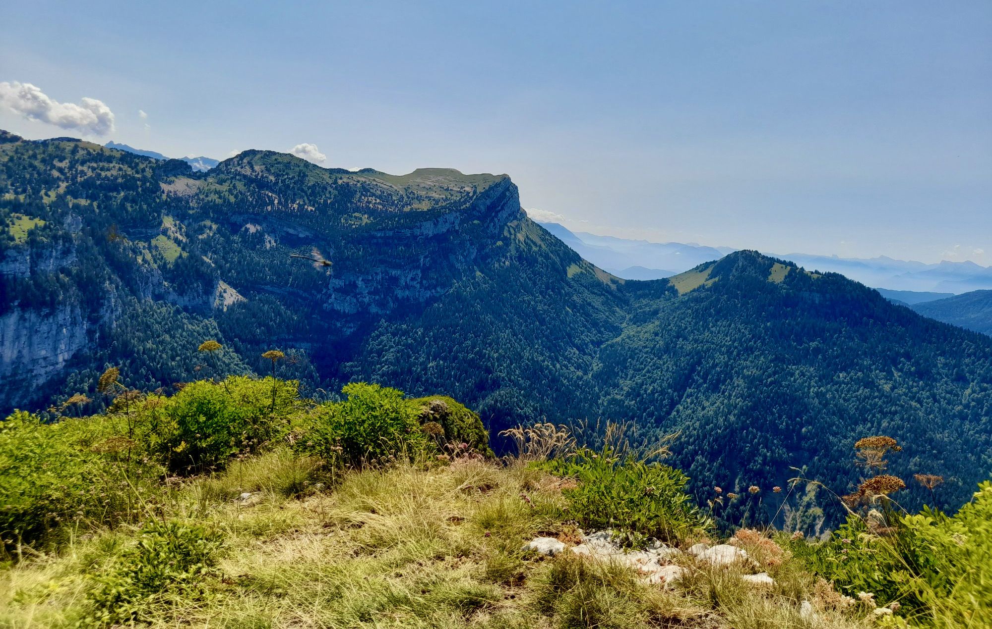
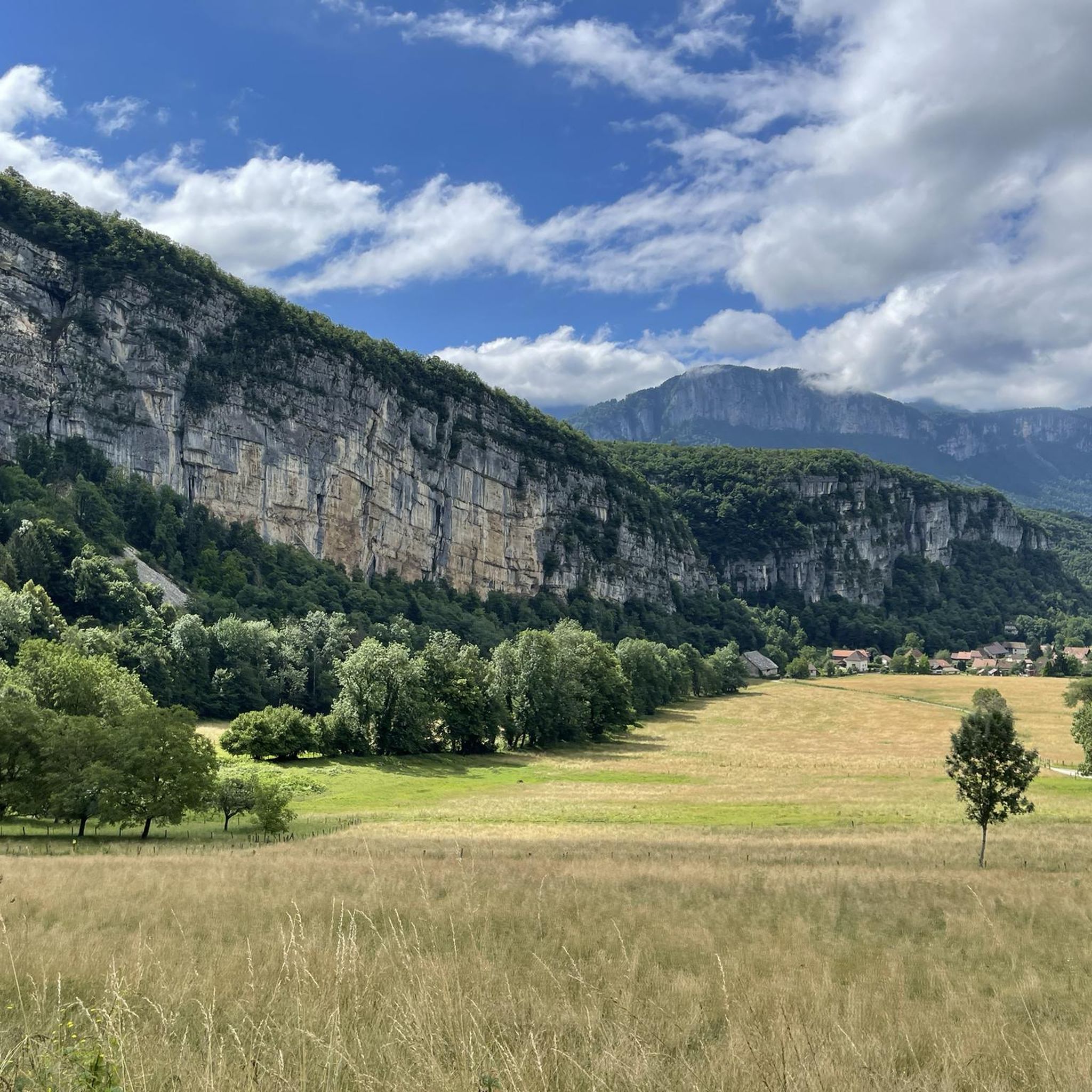
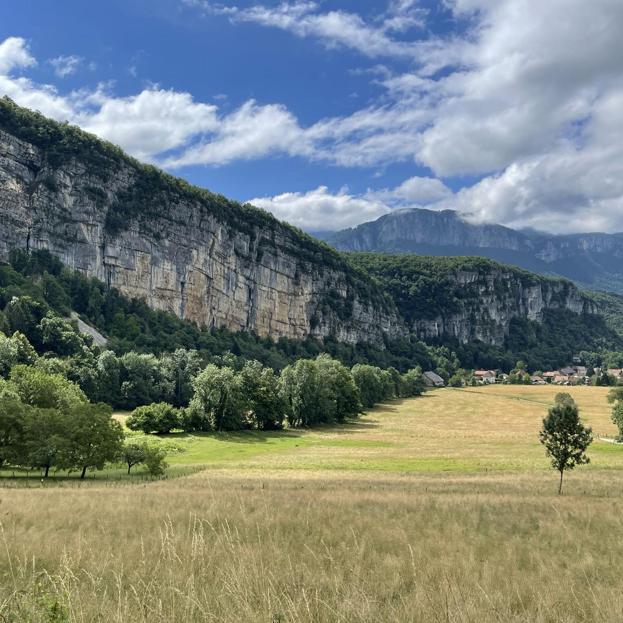
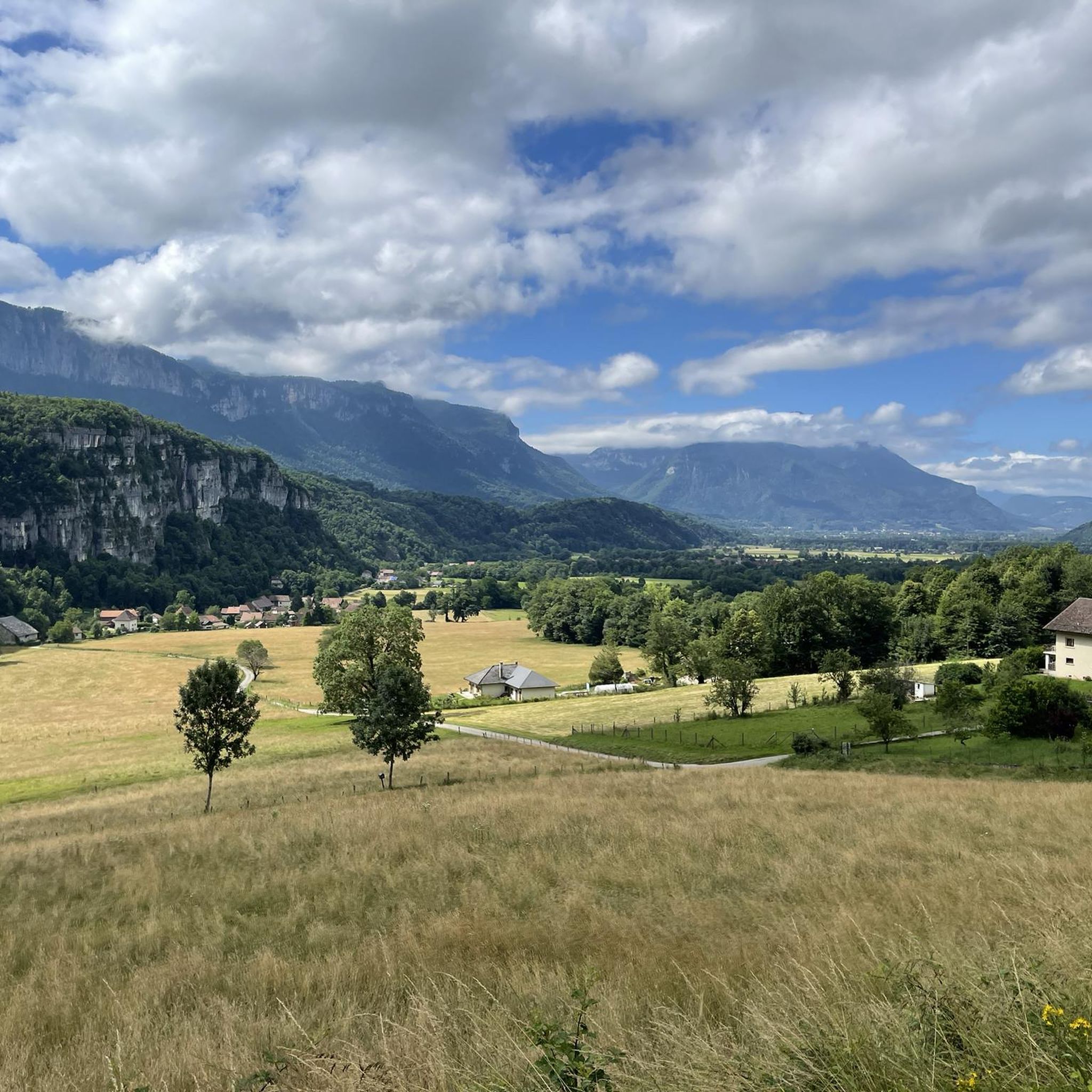
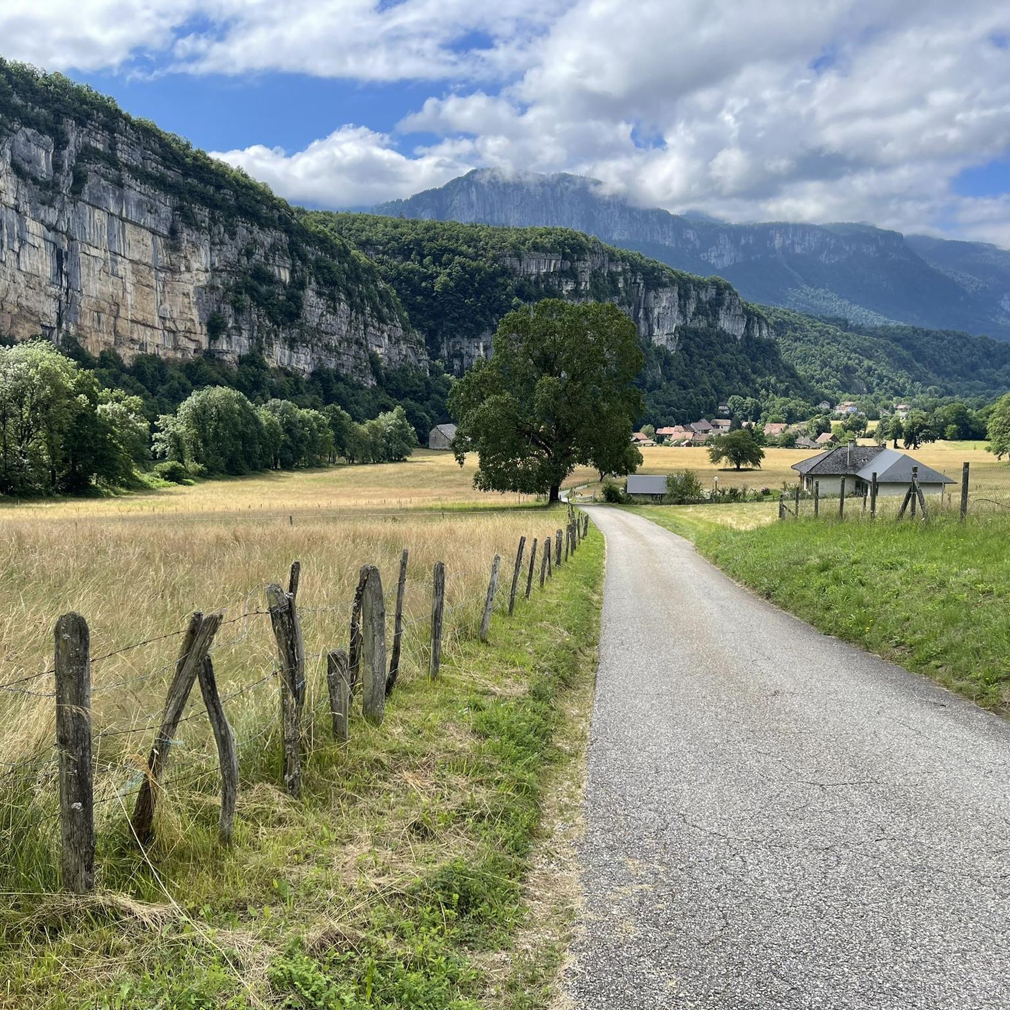
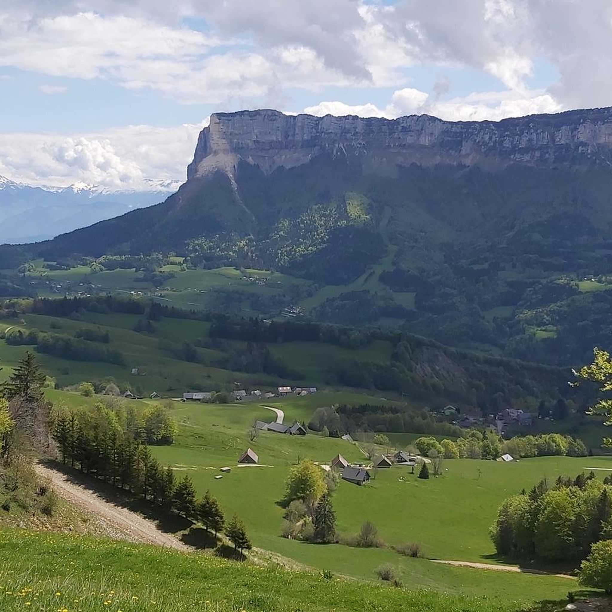
Other adventures around Saint-Christophe

Tips from the Community

Divided village, Savoie and Isère, as well as churches and restaurants.
2
0

I love this village. It's an ideal starting point for a hike to the Cirque de Saint-Même.
0
0

Caution: This section involves a semi-stop and traverse along a cliff face without a handrail. Not recommended for people prone to vertigo or for children.
0
0


Very beautiful view of the 2 lakes 👌
0
0

Done today, lots of snow at the top, the climbing sections are dry and the descent too
0
0

Be careful, if in summer it is a fairly easy passage, in winter, as the surrounding slopes are steep, it is more prudent to have crampons
0
0
1st easy part, no problem with children (better to rope them if small), 2nd part much more gassy. Return path to be avoided on rainy days (slippery mud)
0
0
Frequently Asked Questions
How many mountaineering routes are available in Saint-Christophe?
Saint-Christophe offers a diverse range of mountaineering experiences with 12 routes documented on komoot. These include 8 difficult and 4 moderate options, catering to various skill levels and fitness requirements.
What kind of terrain can I expect on mountaineering routes in Saint-Christophe?
The region is characterized by challenging natural landscapes, including rugged mountain ranges, impressive rock formations, and high-altitude lakes. You'll find diverse terrain, from demanding alpine ascents that may involve glaciers to routes leading through vast vistas and past numerous peaks. The area also offers a wide spectrum of climbing opportunities.
Are there any circular mountaineering routes in Saint-Christophe?
Yes, many of the mountaineering routes in Saint-Christophe are designed as loops, offering a complete experience without retracing your steps. For example, the difficult Mount Outheran - 1686 m loop from Le Désert d'Entremont is a great option, covering 9.3 km with significant elevation gain.
What are some of the notable natural features or landmarks I might encounter on these routes?
Saint-Christophe's mountaineering routes often lead through stunning natural scenery. You might encounter high-altitude lakes, impressive rock formations, and panoramic viewpoints. Some routes pass by significant mountain passes like the Granier Pass or the Col du Cucheron. The region also features gorges, such as the Gorges du Guiers Mort, and historical points like François I's Cave.
Are there any moderate mountaineering routes suitable for those with good fitness but less alpine experience?
Absolutely. While many routes are difficult, Saint-Christophe also offers 4 moderate mountaineering routes. A good example is the Trail of Cozon loop from Saint-Pierre-d'Entremont, which is 8.4 km long with 734m of elevation gain, providing a challenging yet manageable experience for those with good fitness.
What do other mountaineers say about the routes in Saint-Christophe?
The mountaineering routes in Saint-Christophe are highly regarded by the komoot community, holding an average rating of 4.7 stars from over 12 reviews. Many users praise the challenging nature of the trails and the rewarding panoramic views from the summits and passes.
What is the typical duration for a mountaineering route in Saint-Christophe?
The duration varies significantly depending on the route's length and difficulty. For instance, a difficult route like the Mont Granier – Col de l'Alpette loop from Parking de la Plagne can take around 5 hours and 27 minutes to complete, while a shorter, difficult route like the Via Ferrata de Roche Veyrand loop from Saint-Pierre-d'Entremont might take about 3 hours and 11 minutes.
Are there any mountain huts or refuges available for longer trips?
Yes, the broader region around Saint-Christophe, particularly in the Aosta Valley, is known for its mountain huts and refuges. These provide essential resting points and starting locations for multi-day mountaineering adventures. Examples include Arbolle Hut and Chaligne Hut, which offer panoramic views and serve as bases for further exploration of peaks like Becca di Nona and Monte Emilius.
What kind of climbing opportunities are there in Saint-Christophe?
Saint-Christophe-en-Oisans is a prime destination for climbing, offering a variety of sites suitable for all skill levels. From beginner-friendly routes with easy and secure holds at spots like Rocher Blanc to more advanced challenges at Rocher des Étages and Falaise du Claps, there's something for every climbing enthusiast.
What is the best time of year for mountaineering in Saint-Christophe?
The best time for mountaineering in Saint-Christophe generally depends on the specific route and altitude. Summer and early autumn typically offer the most favorable conditions with less snow and more stable weather. However, some routes may be accessible earlier or later in the season, and winter mountaineering is also possible for experienced individuals with appropriate gear and knowledge of alpine conditions.
What level of fitness is required for mountaineering in Saint-Christophe?
Mountaineering in Saint-Christophe ranges from moderate trails requiring good fitness to difficult routes demanding very good fitness, sure-footedness, sturdy shoes, and alpine experience. It's crucial to assess your own capabilities and choose routes that match your skill level and physical condition.
Most popular routes around Saint-Christophe
Most popular attractions around Saint-Christophe

Get inspired with the komoot mobile app


Explore more
Browse the best Mountain Hikes & Routes in other regions.
