The best walks and hikes around Massongy
4.5
(517)
3,893
hikers
218
hikes
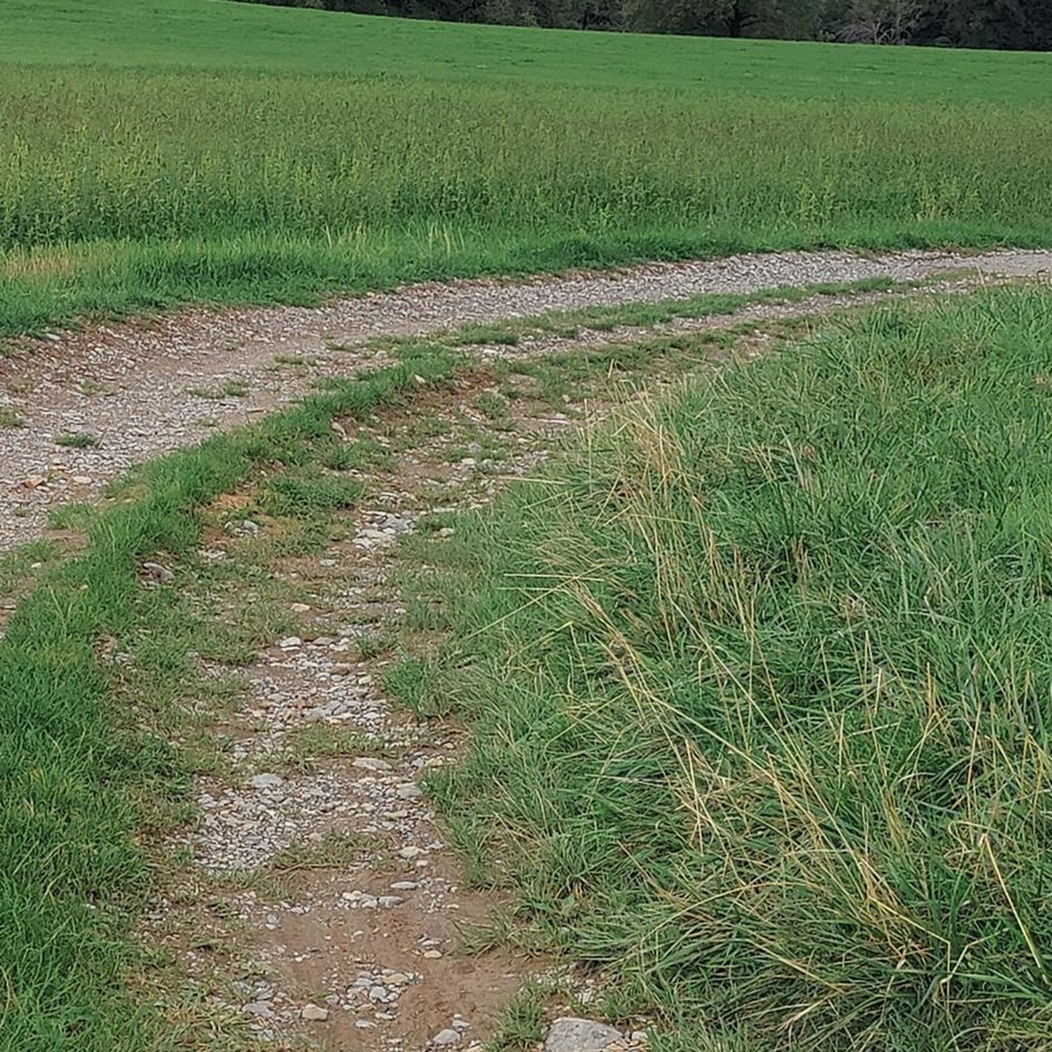
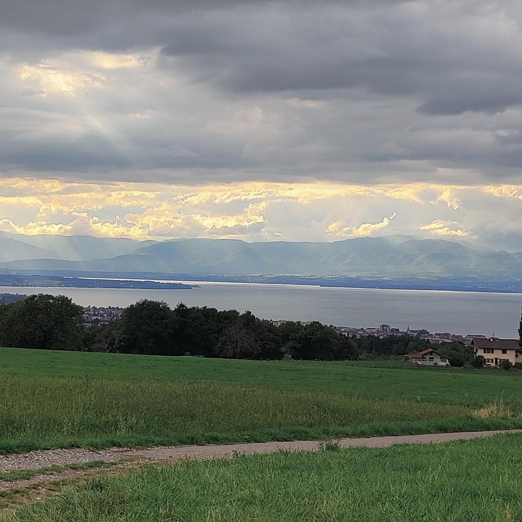
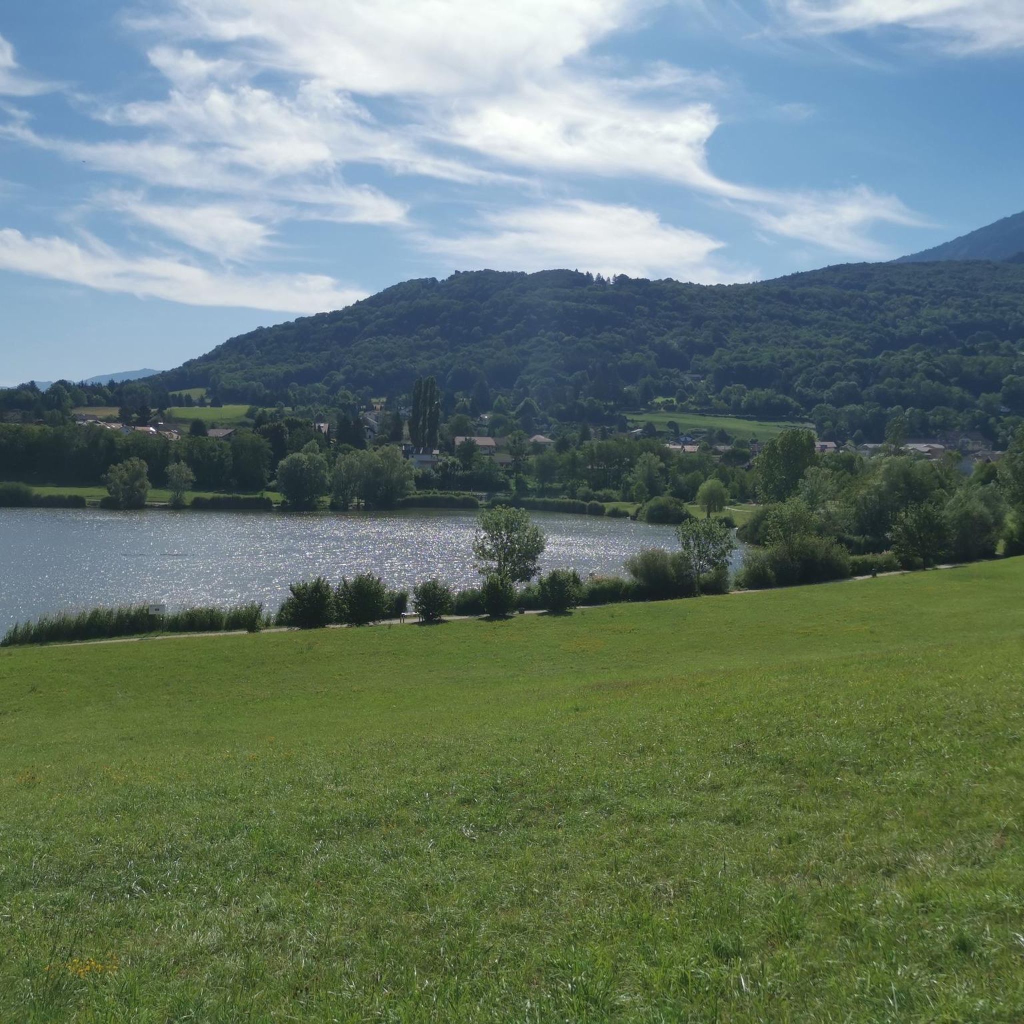
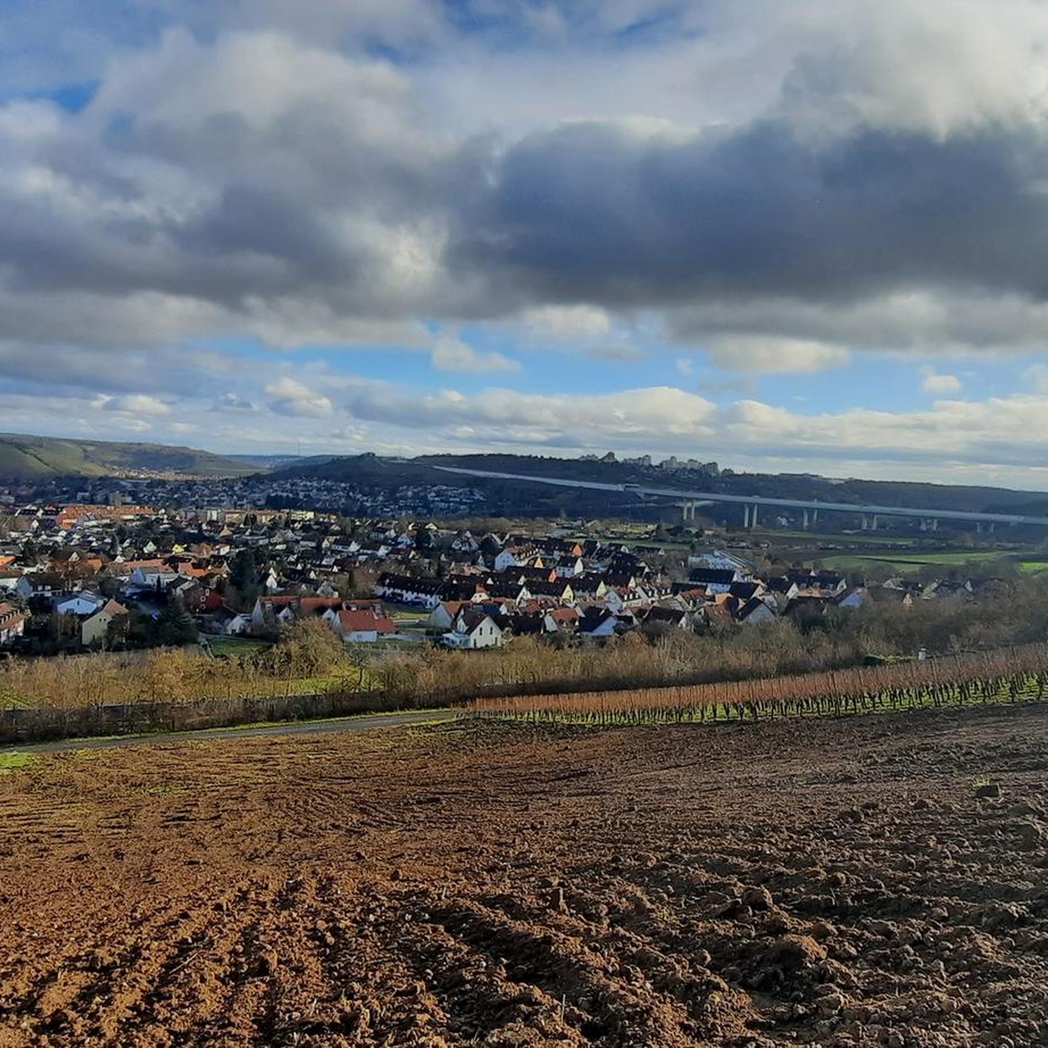
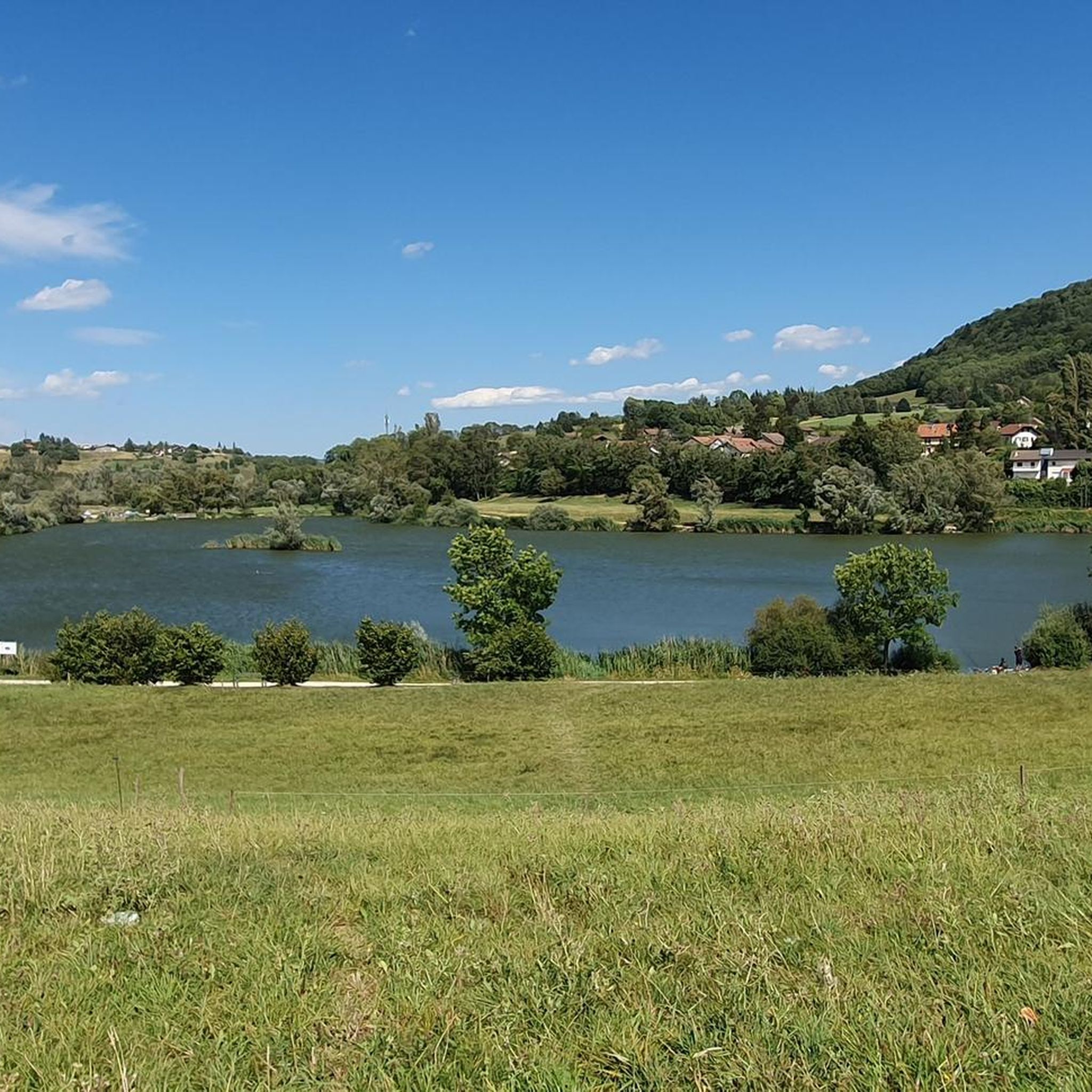
Hiking around Massongy offers access to diverse landscapes in the Haute-Savoie region of France. The area is characterized by its proximity to Lake Geneva, providing waterside views and accessible paths. Inland, the terrain includes rural communes, streams like the Vion, and rolling hills that transition towards the broader Alpine environment. These features create a varied hiking experience, from lakeside strolls to routes with moderate elevation gains.
Best hiking trails around Massongy
- The most popular hiking route is Medieval town of…
Last updated: May 28, 2026
4.6
(8)
51
hikers
11.4km
03:02
120m
120m
Moderate hike. Good fitness required. Easily-accessible paths. Suitable for all skill levels.
4.5
(6)
38
hikers
9.95km
02:58
290m
290m
Moderate hike. Good fitness required. Easily-accessible paths. Suitable for all skill levels.

Sign up for free
5.0
(1)
23
hikers
Moderate hike. Good fitness required. Easily-accessible paths. Suitable for all skill levels.
4.2
(9)
38
hikers
10.1km
02:38
80m
80m
Moderate hike. Good fitness required. Easily-accessible paths. Suitable for all skill levels.
4.1
(7)
44
hikers
13.3km
03:33
150m
150m
Moderate hike. Good fitness required. Easily-accessible paths. Suitable for all skill levels.
Get access to more routes and recommendations from other explorers.
Sign up for free
Already have an account?
Our route recommendations are based on thousands of hikes, rides, and runs completed by other people on komoot.
Start today with a free account
Your next adventure awaits.
Login or Signup
Tips from the Community

With its majestic silhouette, the castle of Yvoire stands like a sentinel on Lake Geneva. It delights photographers who visit Yvoire, the beautiful medieval city of Haute-Savoie. Built from 1306 during the fortification of the village by the Count of Savoy Amédée V, the castle of Yvoire had the military objective of monitoring navigation and controlling the road which linked Geneva to the upper Rhone valley and to Italy.
1
0


Nice place out of time. Many shops, restaurants and bars.
0
1
Small beach at the bottom of the large parking lot. Take a small path towards the middle car park to go down to the beach.
0
1
Very beautiful medieval staircase
0
0
The Nernier gate formerly controlled access to the village with the Rovorée gate. They were closed in the evening and lined with a portcullis, the passage of which can still be seen in the stones. To ensure the defense of the village, the entrance was topped by a tower, which is still well preserved today. The tower, measuring 5 m by 6 m, was equipped with loopholes and hoardings and a bridge made it possible to cross the moat.
1
0

La Chataignerie is a beautiful, rather quiet, natural park with meadows, forest and lake shore. Very pretty and relaxing and within easy walking distance of Yvoire.
1
0

According to tradition, Saint Pancratius, to whom this church in Yvoire is dedicated, was publicly executed at the end of the 3rd / beginning of the 4th century under Emperor Diocletian because of his Christian faith. The body of the martyr was buried on the Roman Via Aurelia - in the catacombs later named after him - under today's "San Pancrazio" church. The memorial day of Saint Pancratius is on May 12, he is one of the three so-called "Ice Saints" in popular piety, along with Servatius and Bonifatius (in some areas the "Cold Sophie" is added a day later).
3
0
Frequently Asked Questions
How many hiking trails are available around Massongy?
The Massongy area offers a wide variety of hiking opportunities, with over 200 routes recorded on komoot. These trails cater to different preferences, including easy strolls, moderate excursions, and some more challenging paths.
Are there easy hiking trails suitable for beginners or families in Massongy?
Yes, Massongy has numerous easy hiking trails, with over 120 routes classified as easy. These paths are generally accessible and suitable for families or those looking for a relaxed walk. An example is the Tour du massif du crdpis loop from Ballaison, which is an easy 6 km route.
What kind of landscapes can I expect to see while hiking around Massongy?
Hiking around Massongy offers a diverse range of landscapes. You'll find paths close to Lake Geneva, providing scenic waterside views. Inland, the trails traverse rural communes, follow streams like the Vion, and wind through rolling hills that lead towards the broader Alpine environment of the Haute-Savoie region. The area is also known for its flowery landscapes.
Are there any circular hiking routes near Massongy?
Yes, many of the hiking trails around Massongy are circular, allowing you to start and end at the same point. Popular options include the Medieval town of Yvoire – Place de la Mairie loop from Nernier, which takes you through the historic village of Yvoire, and the Tour du massif du crdpis loop from Douvaine, offering countryside views.
What are some interesting landmarks or attractions to see along the hiking trails?
The region is rich in natural beauty and historical sites. You can explore the medieval village of Yvoire, recognized as one of "The Most Beautiful Villages in France," which is often incorporated into hiking loops. The distinctive Saint Pancras Church of Yvoire, with its unique bell tower, is another notable landmark. For those seeking mountain views, the nearby Col de Cou and Col de Saxel offer higher altitude experiences.
What do other hikers say about the trails in Massongy?
The hiking routes in Massongy are highly regarded by the komoot community, holding an impressive average rating of 4.5 stars from nearly 500 reviews. Over 3,800 hikers have used komoot to explore the varied terrain, often praising the scenic lakeside paths, charming rural landscapes, and the diverse options available for different skill levels.
Are there any trails that pass by Lake Geneva?
Yes, Massongy's proximity to Lake Geneva means many trails offer beautiful waterside views and opportunities for lakeside strolls. You can find paths that lead to beaches like Messery or ports like Sciez, allowing you to combine hiking with other activities such as swimming or paddleboarding.
What is the typical elevation gain on trails around Massongy?
The elevation gain on trails around Massongy varies significantly. Many easy routes have minimal elevation changes, perfect for gentle walks. Moderate trails, such as the Tour du massif du crdpis loop from Douvaine, can have elevation gains of nearly 950 feet (290 m). More challenging routes in the broader Alpine environment can feature gains of up to 3,000 feet.
Is it possible to hike to the medieval village of Yvoire from Massongy?
Absolutely. The medieval village of Yvoire is only 7 km from Massongy and is a popular destination for hikers. Several loops, like the Place de la Mairie – Saint Pancras Church of Yvoire loop from Excenevex, allow you to explore this historic site and its surroundings as part of your hike.
What is the best time of year for hiking in Massongy?
The Haute-Savoie region, including Massongy, is generally pleasant for hiking from spring through autumn. During these seasons, the weather is milder, and the landscapes are vibrant. While specific recommendations for Massongy aren't detailed, the region's flowery landscapes are particularly appealing in warmer months. Always check local weather conditions before heading out.
Are there any specific passes or higher-altitude areas accessible for more challenging hikes?
For hikers seeking more challenging routes and higher altitudes, the nearby Col de Cou (1,117 meters altitude) and Col de Saxel offer varying routes and difficulties. These passes connect different valleys and provide a more quintessential Alpine experience with greater elevation gains.
Most popular attractions around Massongy

Get inspired with the komoot mobile app


Explore more
Browse the best Hikes in other regions.
