The best running trails around Saint-Thibaud-De-Couz
4.3
(239)
11,347
runners
430
runs
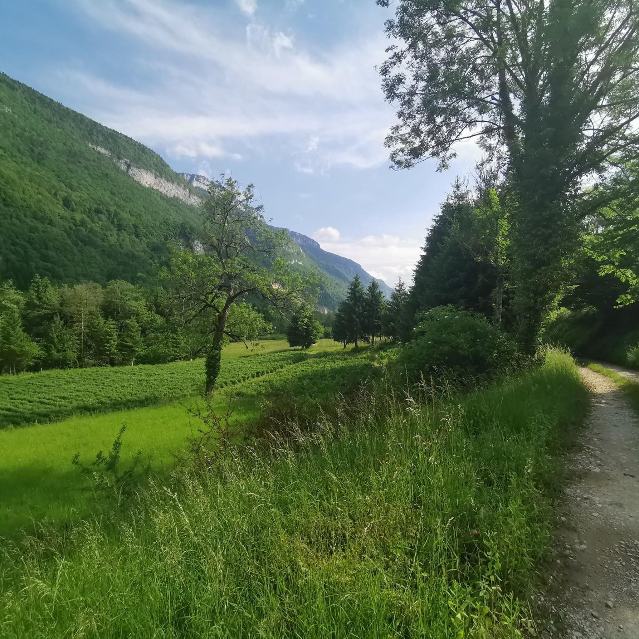
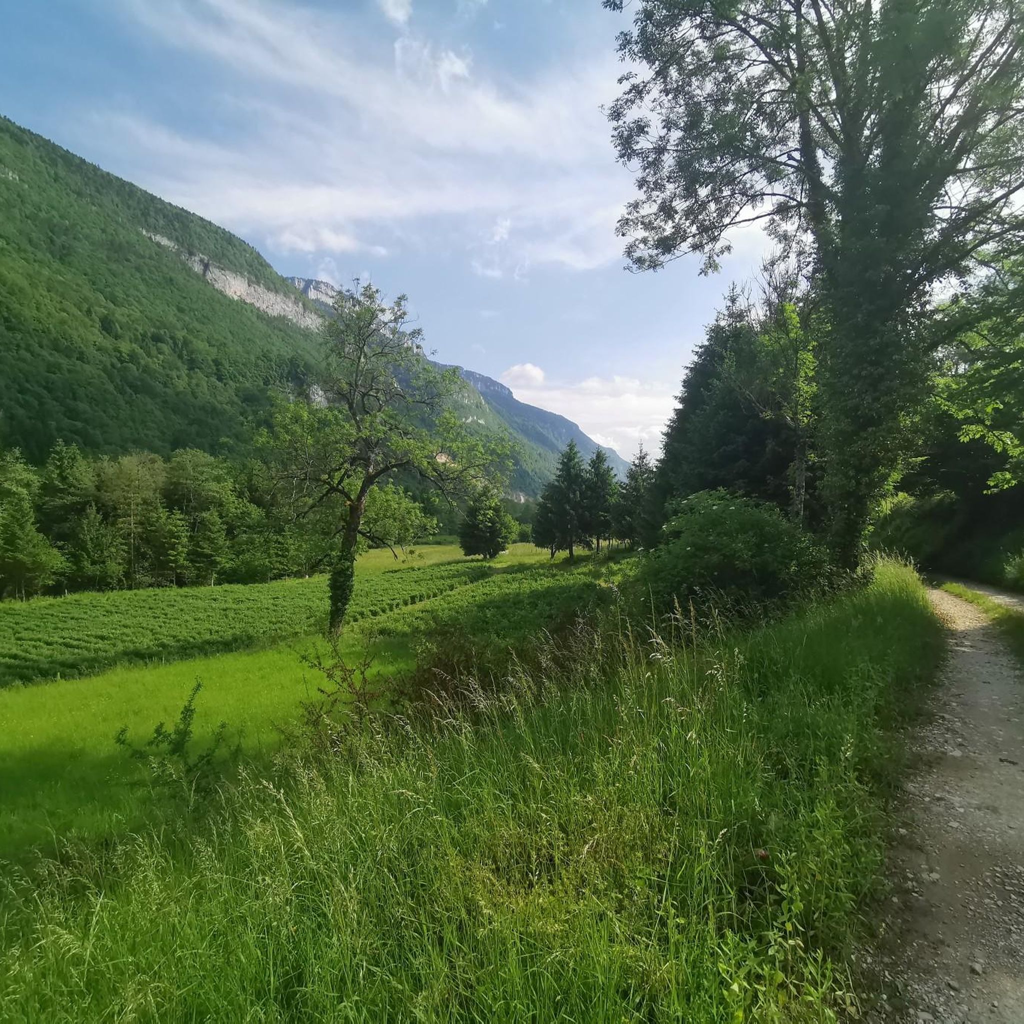
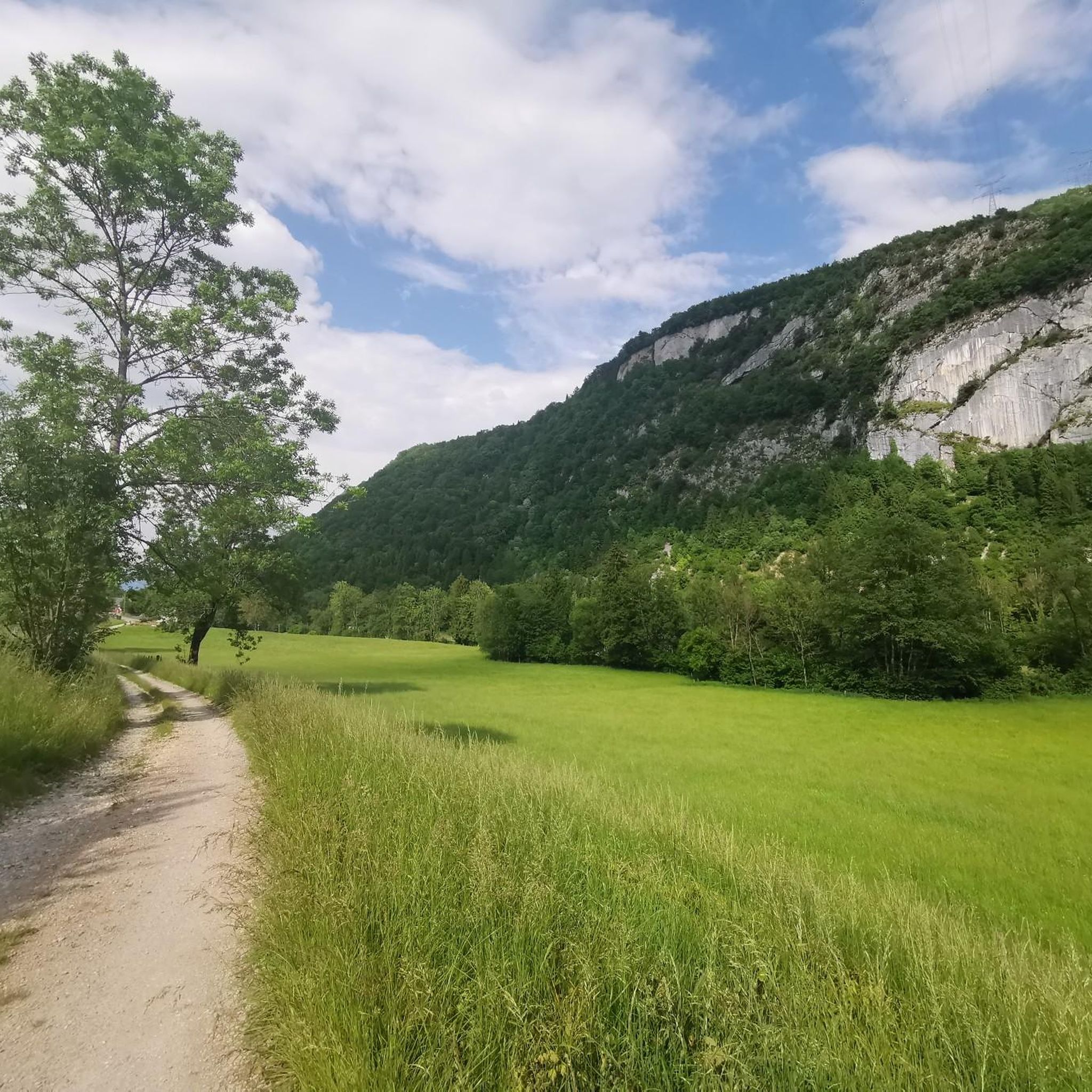
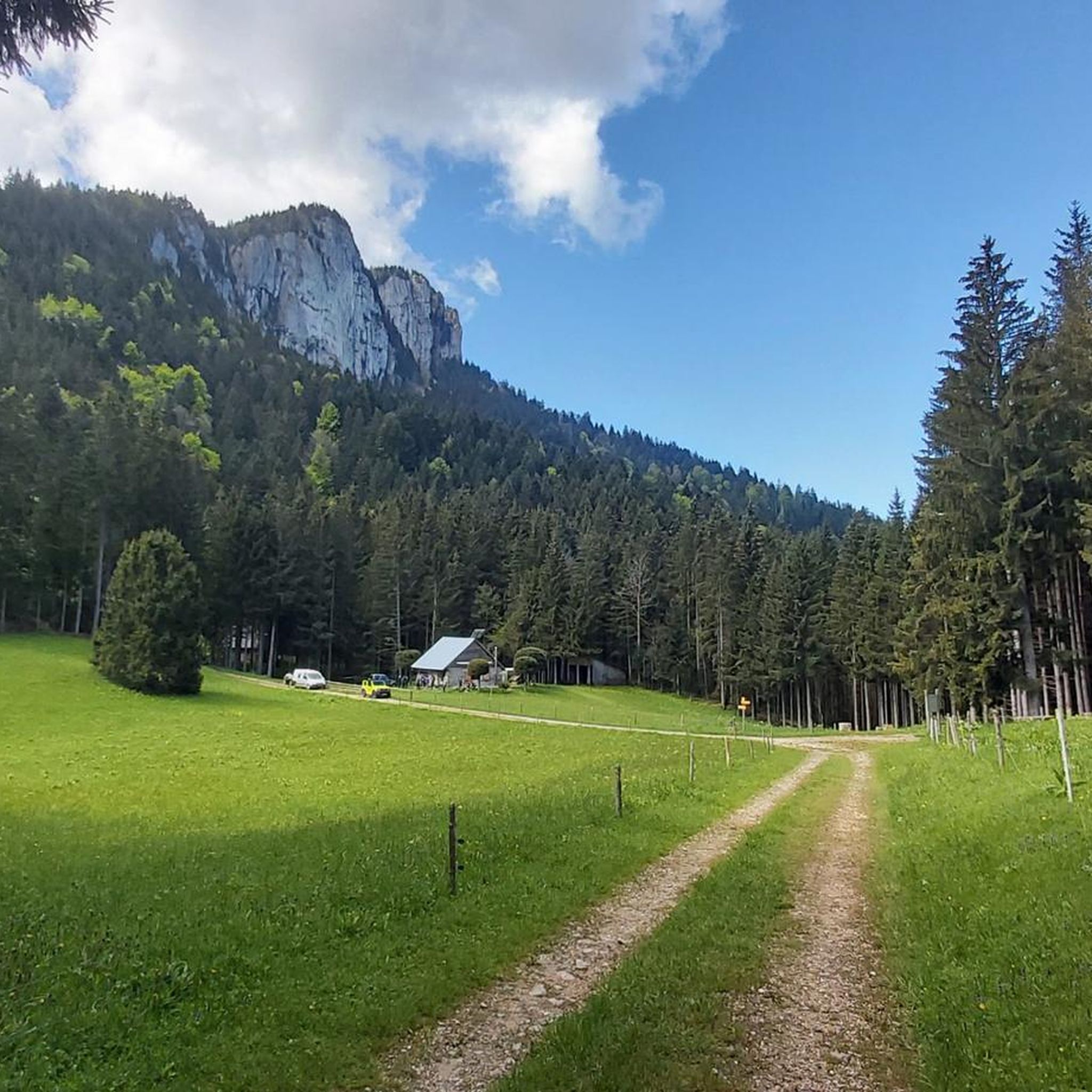
Jogging routes Saint-Thibaud-De-Couz offer access to the diverse landscapes of the Chartreuse Regional Natural Park, characterized by limestone cliffs, deep forests, and alpine pastures. The terrain provides varied challenges, from undulating paths to routes with significant elevation changes. Runners can explore areas around Mont Granier and Le Désert d'Entremont, which contribute to the region's scenic beauty and active outdoor lifestyle.
Best jogging routes around Saint-Thibaud-De-Couz
- The most popular jogging route is Awakening loop from Vimines, a 7.1 miles (11.5…
Last updated: May 20, 2026
115
runners
Hard run. Very good fitness required. Sure-footedness, sturdy shoes and alpine experience required.
65
runners
17.3km
02:32
690m
690m
Hard run. Very good fitness required. Sure-footedness, sturdy shoes and alpine experience required.

Sign up for free
34
runners
11.6km
01:48
520m
520m
Hard run. Very good fitness required. Sure-footedness, sturdy shoes and alpine experience required.
27
runners
5.94km
00:59
370m
370m
Hard run. Very good fitness required. Mostly accessible paths. Some sure footedness required.
25
runners
Moderate run. Good fitness required. Mostly paved surfaces. Suitable for all skill levels.
Get access to more routes and recommendations from other explorers.
Sign up for free
Already have an account?
Our route recommendations are based on thousands of hikes, rides, and runs completed by other people on komoot.
Start today with a free account
Your next adventure awaits.
Login or Signup

Tips from the Community

Magnificent view of the heart of the Chartreuse region, the plain of St. Laurent du Pont, and Mont Blanc in the background, seemingly within arm's reach. The access path via the ridge that connects to Outheran is very straightforward. The climb from St. Jean de Couz on the SW side is quite complicated. The path is barely visible and rather difficult to follow on a very steep face. The final section leads up a very steep couloir, through a slippery and unstable scree slope. Furthermore, the exposure to falling rocks is quite significant; extreme caution is required (helmet recommended). The final section consists of short climbing sections and very steep ascents in fairly exposed grassy terrain (fairly straightforward, but exposed).
0
0

A very quiet and pleasant road. On the Chambéry side, a good part is in the shade, the slope of the main road is rather constant around 7-8%. On the Novalaise side, the mineral aspect with the cliff is more present in the middle of the climb. This side is quite steep with kilometers at 8-9%. On each side, 1 belvedere offers a breathtaking view of Lake Aiguebelette (approx. 2 km from the summit) and on the other side of Chambéry, the Bauges, Belledonne, the Chartreuse (500 m from the summit). The summit is in the forest.
1
0

The lookout is too overgrown. You can hardly see the lake anymore! What a shame!
0
1

Leaving from Chambery, the beginning hurts a little, but the rest is quite good
0
1
There is a mistake about the valleys!
2
0

Pass without too much traffic. Quite steep start to reach Saint Sulpice, the rest is rather regular. The pass is closed in winter
2
0

Unmissable “road cycling” of the Col de l'Épine located at an altitude of 990 m.
1
0
Frequently Asked Questions
How many running routes are available around Saint-Thibaud-De-Couz?
There are over 380 running routes around Saint-Thibaud-De-Couz, offering a wide variety of options for all fitness levels. This includes 29 easy routes, 224 moderate routes, and 131 difficult routes, ensuring there's a path for every runner.
What kind of terrain can I expect on the jogging trails in Saint-Thibaud-De-Couz?
The terrain around Saint-Thibaud-De-Couz is highly varied, characterized by the dramatic landscapes of the Chartreuse Regional Natural Park. You'll encounter limestone cliffs, deep forests, and alpine pastures. Routes often feature significant elevation changes, ranging from undulating paths to challenging ascents, providing both strenuous workouts and rewarding panoramic views.
Are there easy running routes for beginners in the Saint-Thibaud-De-Couz area?
Yes, there are 29 easy running routes suitable for beginners or those looking for a more relaxed jog. These paths generally have less elevation gain and cover shorter distances, allowing you to enjoy the beautiful scenery without excessive challenge.
What do other runners say about the trails in Saint-Thibaud-De-Couz?
The running trails in Saint-Thibaud-De-Couz are highly rated by the komoot community, with an average score of 4.3 stars from over 230 reviews. More than 11,000 runners have explored the varied terrain, often praising the scenic beauty, diverse challenges, and immersive natural experience within the Chartreuse massif.
Are there any circular running routes near Saint-Thibaud-De-Couz?
Yes, many of the running routes in the area are circular, allowing you to start and finish at the same point. For example, the The Savoyard Antilles – View of Lake Aiguebelette loop from Aiguebelette-le-Lac offers picturesque landscapes, or the challenging Mollard Pass – The Entremont Desert loop from Le Désert d'Entremont.
Can I find running routes with scenic viewpoints in this region?
Absolutely! The region is known for its stunning vistas. Many routes offer panoramic views, especially those with significant elevation. For instance, the View of Lake Aiguebelette loop from Saint-Thibaud-de-Couz provides beautiful perspectives of the lake. You can also find specific viewpoints like Voues de l'Épine Viewpoint or View of Lac d'Aiguebelette from Saint-Alban-de-Montbel Church along various trails.
Are there any family-friendly jogging paths around Saint-Thibaud-De-Couz?
While the Chartreuse Regional Natural Park offers many challenging trails, there are also easier, shorter routes that can be suitable for families. Look for the 29 routes classified as 'easy' in the guide, which typically feature less elevation and more stable surfaces, making them more accessible for a family outing.
Are dogs allowed on the running trails in Saint-Thibaud-De-Couz?
Generally, dogs are welcome on many trails in the Chartreuse Regional Natural Park, but it's always best to check specific regulations for each route or protected area. Within the natural reserve areas, access might be restricted or require dogs to be on a leash to protect wildlife. Always ensure your dog is under control and respect local signage.
Where can I find parking for the running routes?
Many trailheads, especially those starting from villages or popular access points like Le Désert d'Entremont or Aiguebelette-le-Lac, offer designated parking areas. For routes starting directly from Saint-Thibaud-de-Couz, local parking options will be available. It's advisable to check the route details on komoot for specific parking information for your chosen trail.
Are there any waterfalls or lakes I can see while running?
Yes, the region boasts beautiful natural water features. You can find routes that pass by stunning waterfalls such as Saint-Même Cirque Waterfalls or Furet Waterfall. Additionally, the area is close to picturesque lakes like Lac d'Aiguebelette, with routes like The Savoyard Antilles – View of Lake Aiguebelette loop from Aiguebelette-le-Lac offering views of its turquoise waters.
What are some longer, more challenging trail running options?
For experienced trail runners seeking a challenge, the region offers 131 difficult routes with significant elevation gain. The Awakening loop from Vimines is a difficult 11.5 km trail with notable elevation, while the Croix de la Cochette loop from Le Désert d'Entremont is a challenging 6 km path with a steep ascent and scenic views within the Chartreuse massif.
What is the best time of year for running in Saint-Thibaud-De-Couz?
Spring, summer, and early autumn are generally the best times for running in Saint-Thibaud-De-Couz. During these seasons, the weather is milder, and the trails are more accessible. Spring brings blooming wildflowers, summer offers lush greenery, and autumn provides stunning fall foliage. Winter running is possible but may require specialized gear due to snow and ice, especially at higher elevations.
Are there any running routes that pass by a cafe or place to eat?
While specific cafes directly on every trail are rare, many routes start or pass through villages like Aiguebelette-le-Lac or Le Désert d'Entremont, where you can find local establishments for refreshments. Planning your route to begin or end in one of these settlements will allow you to enjoy a post-run coffee or meal.
Most popular routes around Saint-Thibaud-De-Couz
Most popular attractions around Saint-Thibaud-De-Couz

Get inspired with the komoot mobile app


Explore more
Browse the best Running Trails & Routes in other regions.
