The best walks and hikes around Oudalle
4.4
(1029)
5,677
hikers
177
hikes
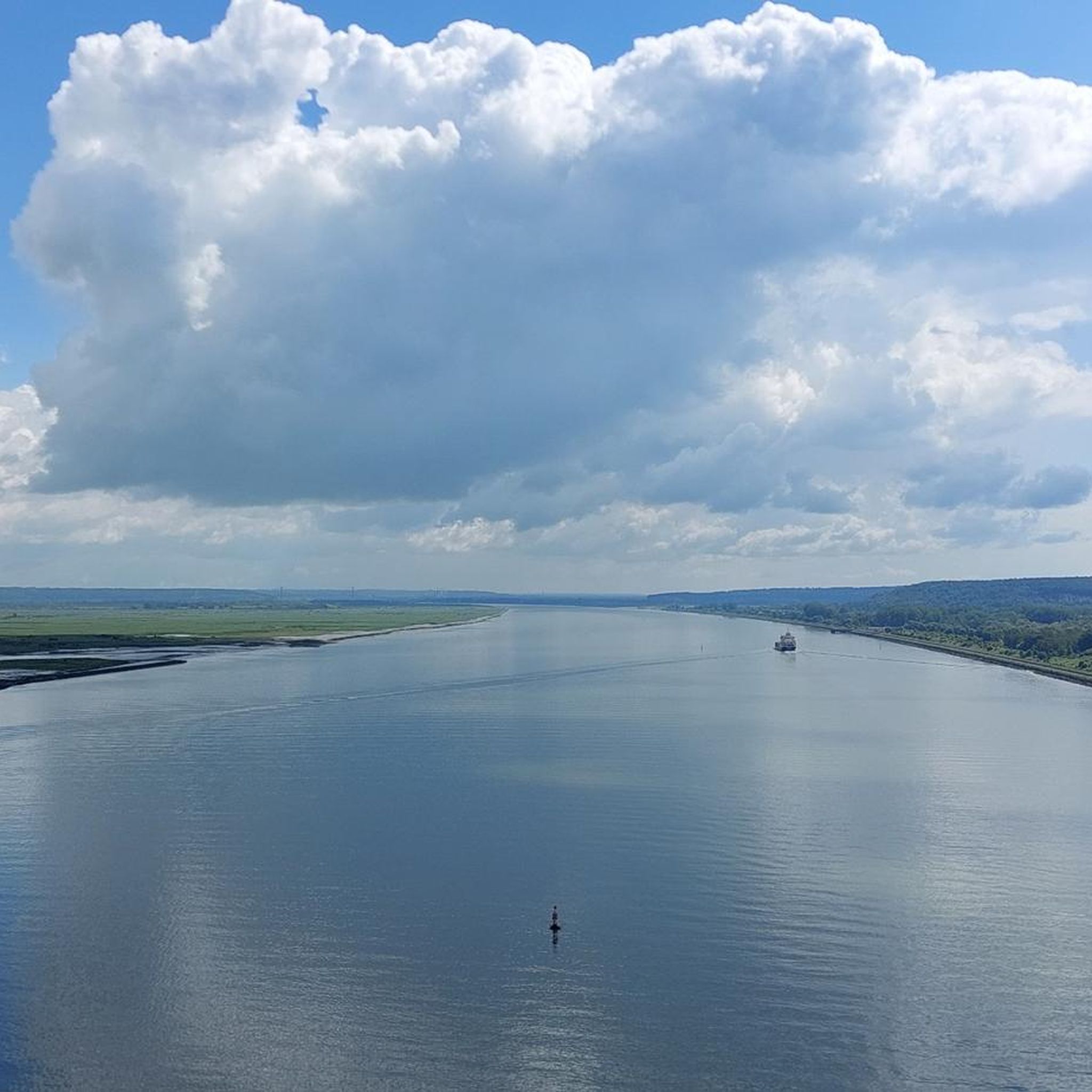
Hiking around Oudalle offers routes through the flat, open landscapes of the Seine estuary region. The terrain is characterized by low elevation changes, making many trails accessible. Paths often follow the banks of waterways or traverse agricultural areas, providing expansive views. The area's proximity to the Pont de Normandie means some routes feature views of this significant landmark.
Best hiking trails around Oudalle
- The most popular hiking route is Pont de Normandie loop from Hangar 131, a 6.0 miles…
Last updated: July 5, 2026
3.9
(7)
27
hikers
9.63km
02:25
10m
10m
Moderate hike. Good fitness required. Easily-accessible paths. Suitable for all skill levels.
4.4
(5)
21
hikers
9.85km
02:29
10m
10m
Moderate hike. Good fitness required. Easily-accessible paths. Suitable for all skill levels.

Sign up for free
4.9
(14)
13
hikers
8.19km
02:06
40m
40m
Moderate hike. Good fitness required. Easily-accessible paths. Suitable for all skill levels.
4.0
(2)
25
hikers
Easy hike. Great for any fitness level. Easily-accessible paths. Suitable for all skill levels.
13
hikers
Easy hike. Great for any fitness level. Easily-accessible paths. Suitable for all skill levels.
Get access to more routes and recommendations from other explorers.
Sign up for free
Already have an account?
Our route recommendations are based on thousands of hikes, rides, and runs completed by other people on komoot.
Start today with a free account
Your next adventure awaits.
Login or Signup



Tips from the Community


Faced with the rapid increase in road traffic, the idea of a second bridge connecting the two banks of the Seine was born in 1972. The Normandy Bridge, which was opened on 26 January 1995, is a true engineering feat: 2141.25 m long, 23.60 m wide, pylons 214 m high, 7 years of work... and 10 million hours of work.
2
0


The Pont de Normandie (English: Normandy Bridge) is a cable-stayed bridge that has the longest span in Europe at 856 m. It crosses the Seine estuary and connects Le Havre (then Upper Normandy) on the right bank to the north with Honfleur (then Lower Normandy) on the left bank to the south. The bridge was built between 1988 and 1994 and was inaugurated on January 20, 1995. The 23.60 m wide bridge has a total length of 2141.25 m. It consists of the southern approach bridges with twelve spans and spans of 96.00 m + 9×43.50 m + 32.5 m + 3×70 m + 27.75 m (= 547.75 m), the northern approach bridges with 16 spans and spans of 96.00 m + 14×43.50 m + 32.50 m (= 737.50 m) and the 856 m large one main opening. The 3 m high superstructure of the main opening consists of a 624 m long central steel section, which is followed on both sides by 116 m long prestressed concrete sections. The pylons of the cable-stayed bridge are 203 m high and each carry 2×23 cables. The passage height for ships is 52 m at the highest known water level. Source: de.wikipedia.org/wiki/Pont_de_Normandie
3
0
The Pont de Normandie (English: Normandy Bridge) is a cable-stayed bridge that has the longest span in Europe at 856 m. It crosses the Seine estuary and connects Le Havre (then Upper Normandy) on the right bank to the north with Honfleur (then Lower Normandy) on the left bank to the south. The bridge was built between 1988 and 1994 and was inaugurated on January 20, 1995. The 23.60 m wide bridge has a total length of 2141.25 m. It consists of the southern approach bridges with twelve spans and spans of 96.00 m + 9×43.50 m + 32.5 m + 3×70 m + 27.75 m (= 547.75 m), the northern approach bridges with 16 spans and spans of 96.00 m + 14×43.50 m + 32.50 m (= 737.50 m) and the 856 m large one main opening. The 3 m high superstructure of the main opening consists of a 624 m long central steel section, which is followed on both sides by 116 m long prestressed concrete sections. The pylons of the cable-stayed bridge are 203 m high and each carry 2×23 cables. The passage height for ships is 52 m at the highest known water level. Source: https://de.wikipedia.org/wiki/Pont_de_Normandie
2
0

Very accessible trail - boots recommended for the end of the route - immersed in the reedbed with very beautiful views.
0
0

Admittedly, not the most beautiful route and not particularly pleasant when the cars drive by so close at 90 km/h, but it is still impressive to walk across the bridge in gusty winds. A few figures: For a long time, the bridge was the one with the longest roadway (2252 m) suspended from suspension cables. The span between the 215 m high pylons is 856 m. The roadway is suspended from 184 steel cables, the longest is 460 m long. The passage height for the ships is 50 m at the highest water level. The bridge can withstand winds of up to 300 km/h, today the average was 40 km/h.
2
0
Frequently Asked Questions
How many hiking trails are available around Oudalle?
There are over 170 hiking trails around Oudalle, offering a wide range of options for exploring the Seine estuary region. These include 82 easy routes, 91 moderate routes, and a few more challenging paths.
What kind of terrain can I expect on hikes near Oudalle?
Hikes around Oudalle typically feature flat, open landscapes characteristic of the Seine estuary. Trails often follow the banks of waterways or traverse agricultural areas, providing expansive views. The low elevation changes make many routes accessible, and some paths offer views of the iconic Pont de Normandie.
Are there many easy hiking options in Oudalle?
Yes, Oudalle offers a good selection of easy hikes. There are 82 routes classified as easy, making the area suitable for casual walkers or those looking for a less strenuous outing. An example of an easy route is the At the top of the Pont de Normandie loop from Maison de la Réserve, which is 2.3 miles (3.6 km) long.
What do other hikers say about the trails in Oudalle?
The hiking trails in Oudalle are highly regarded by the komoot community, with an average rating of 4.5 stars from over 1000 reviews. Hikers often praise the scenic views of the estuary and the Pont de Normandie, as well as the generally flat and accessible paths.
Are there any circular walks or loop trails around Oudalle?
Yes, many of the trails around Oudalle are designed as circular routes, allowing you to start and end at the same point. Popular loop trails include the Pont de Normandie loop from Hangar 131 and the Pont de Normandie loop from Maison de la Réserve, both offering great views of the bridge and estuary.
Are the hiking trails around Oudalle suitable for families with children?
Given the predominantly flat terrain and low elevation changes, many trails around Oudalle are suitable for families. Routes that follow waterways or explore village landscapes can be particularly enjoyable for children. The At the top of the Pont de Normandie loop from Maison de la Réserve is an easy, shorter option that could be good for families.
Can I bring my dog on the hiking trails in Oudalle?
Most public footpaths and trails in the Oudalle area are generally dog-friendly, though it's always recommended to keep your dog on a leash, especially when passing through agricultural areas or near livestock. Be mindful of local regulations and ensure your dog is well-behaved around other hikers and wildlife.
What are the typical lengths of hikes in the Oudalle area?
Hikes in Oudalle vary in length. Many popular routes are moderate, ranging from 5 to 6 miles (8 to 10 km), such as the Saint-Vigor-d'Ymonville Church loop from Saint-Vigor-d'Ymonville. There are also shorter, easy options like the 2.3-mile (3.6 km) At the top of the Pont de Normandie loop from Maison de la Réserve, and longer routes for those seeking more distance.
What is the best time of year to go hiking in Oudalle?
The best time to hike in Oudalle is generally during the spring, summer, and early autumn months (April to October). During these periods, the weather is typically milder and drier, making for more pleasant walking conditions. The open landscapes can be exposed to wind, so checking the forecast is always advisable.
Are there any viewpoints or scenic spots along the trails?
Yes, many trails offer scenic views, particularly those along the Seine estuary. The Pont de Normandie is a prominent landmark, and routes like the Pont de Normandie loop from Hangar 131 provide excellent vistas of the bridge and surrounding waters. The open agricultural areas also offer expansive, tranquil views.
What interesting places can I explore near the Oudalle hiking trails?
Beyond the trails, the area offers several interesting attractions. The charming town of Honfleur, with its picturesque Old Harbour, is a must-visit. You can also explore historical sites like the Sainte-Catherine Church and the Chapelle Notre-Dame-de-Grâce, or enjoy panoramic views from the Hospital Lighthouse.
Where can I find parking for hiking in Oudalle?
Parking availability varies by trailhead. For routes like the Pont de Normandie loops, designated parking areas are often available near popular starting points such as Hangar 131 or Maison de la Réserve. For village-based routes, you can typically find parking in or near the village centers, such as Saint-Vigor-d'Ymonville.
Most popular attractions around Oudalle

Get inspired with the komoot mobile app


Explore more
Browse the best Hikes in other regions.
