The best MTB trails around Montagnole
4.2
(267)
1,939
riders
180
rides
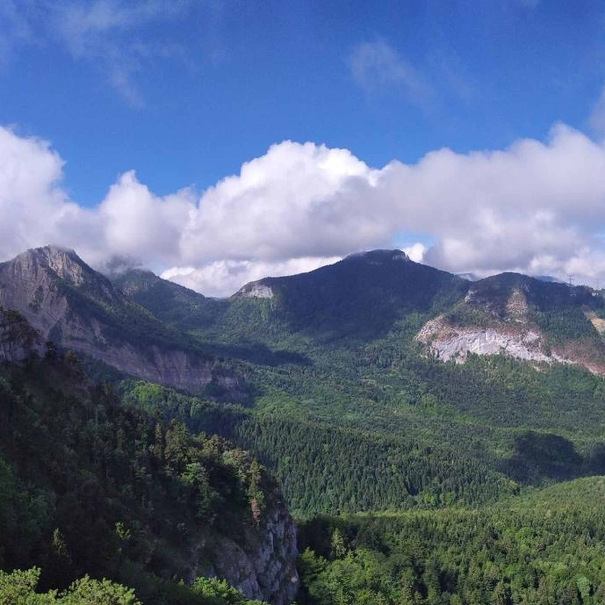
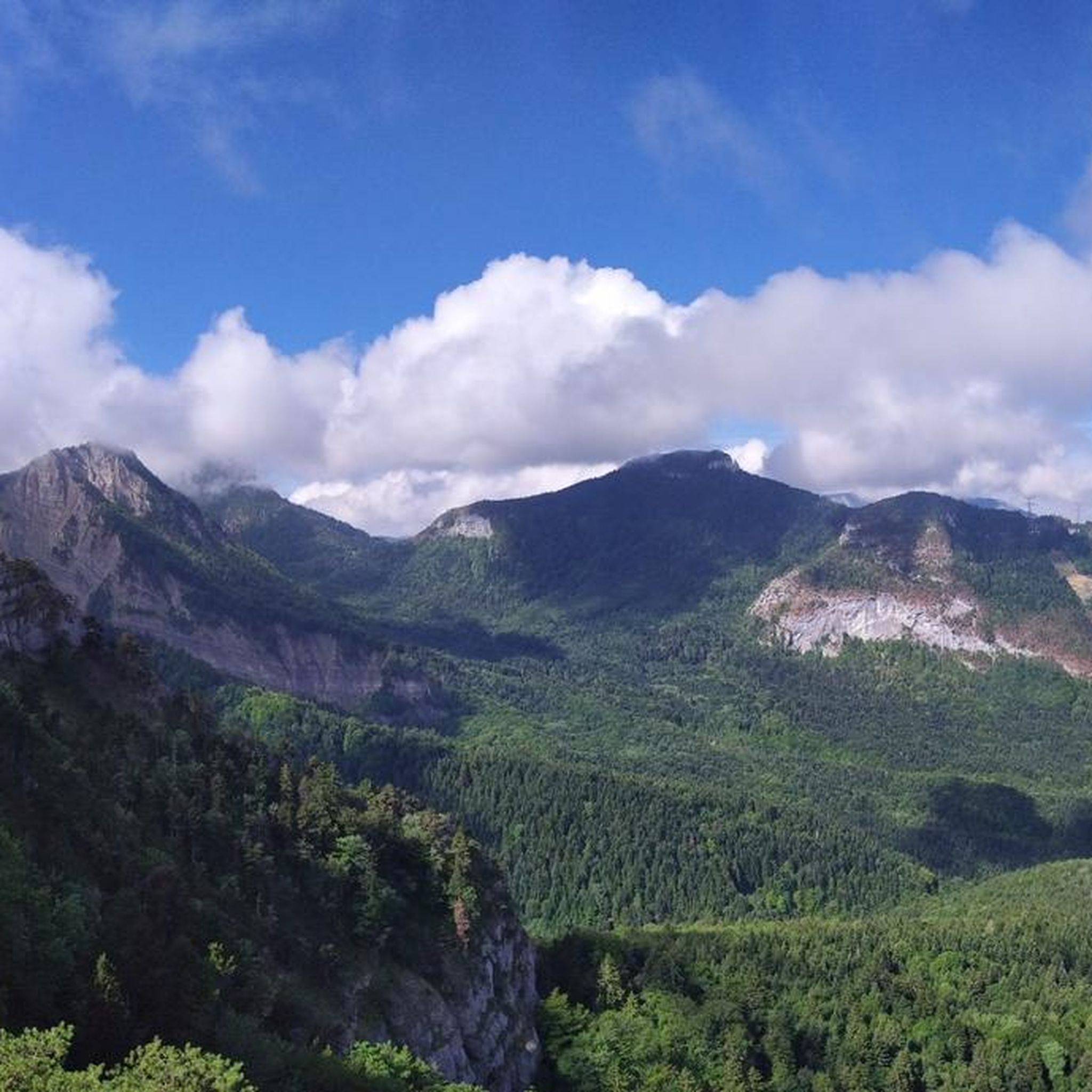
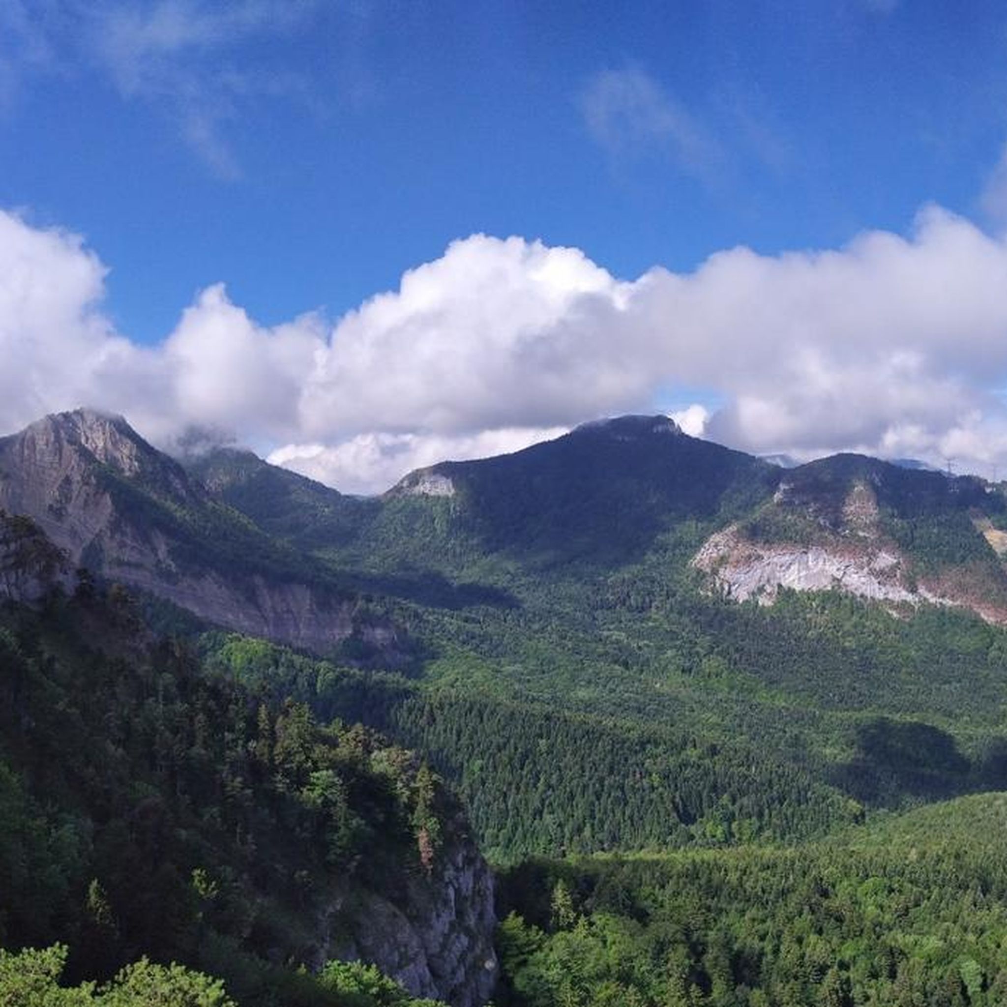
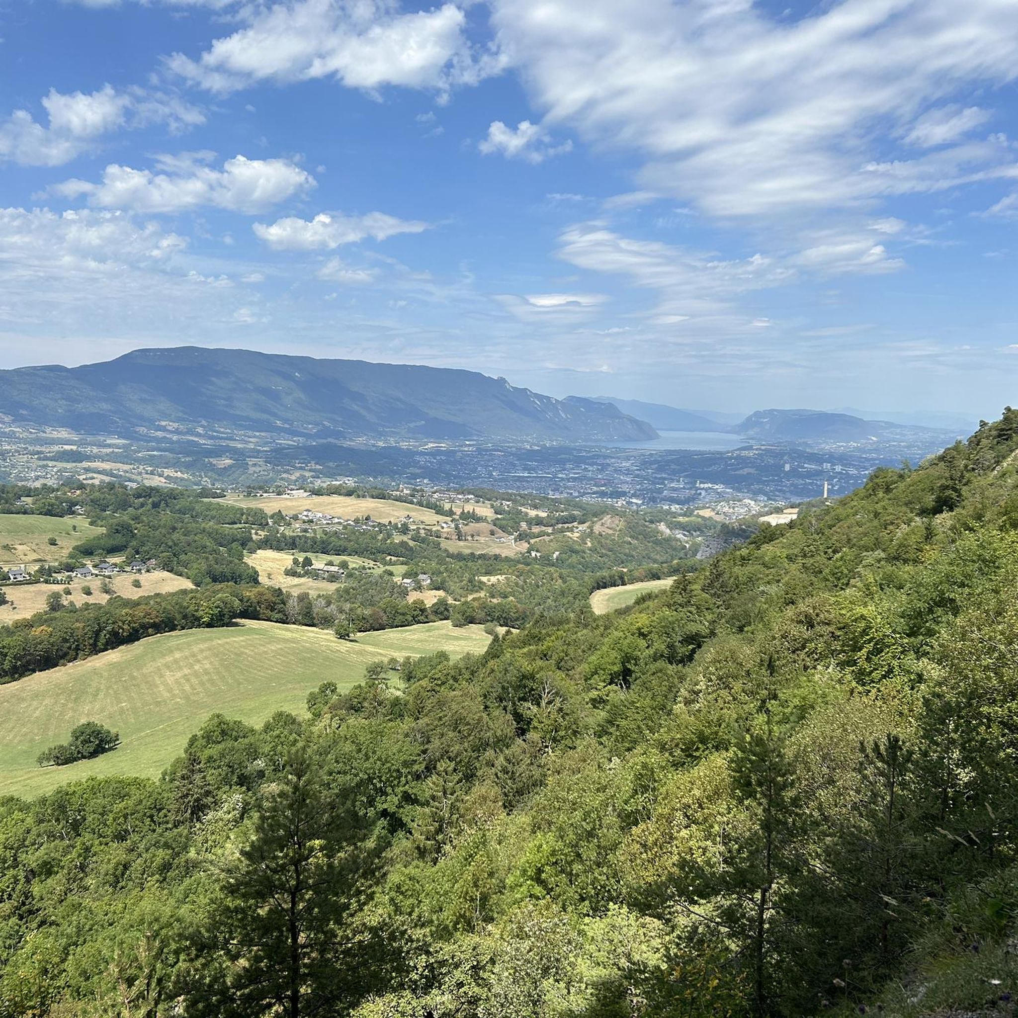
Mountain biking around Montagnole, a commune in Savoie, France, offers a diverse network of trails thanks to its mountainous features and varied terrain. The region provides opportunities for riders of different skill levels, from moderate routes to challenging paths with significant elevation gains. Riders can expect to encounter mountain passes and panoramic viewpoints, characteristic of the French Alps.
Best mountain bike trails around Montagnole
- The most popular mountain bike trail is Spark Park – La Coche Cross loop from La Culaz, a 10.1 miles (16.3 km) trail that takes 1 hour 51 minutes to complete, offering a moderate challenge through varied landscapes.
- Another top favourite among local mountain bikers is Granier Pass – Granier Pass loop from Chambéry, a moderate 16.4 miles (26.4 km) path. This route features scenic mountain passes and rewarding views.
- Local mountain bikers also love the Planet Pass – La Cochette Cross loop from Saint-Cassin, an 18.0 miles (29.0 km) trail leading through mountainous terrain with substantial elevation, often completed in about 3 hours 38 minutes.
- Mountain biking around Montagnole is defined by mountainous features, diverse trail networks, and panoramic viewpoints. The region offers routes suitable for various fitness and skill levels, from moderate rides to highly technical sections.
- The routes in Montagnole are highly rated by the komoot community with an average score of 4.3 stars from over 300 reviews. More than 2,600 mountain bikers have used komoot to explore Montagnole's varied terrain.
Last updated: July 1, 2026
3.6
(5)
58
riders
28.0km
02:46
880m
880m
Hard mountain bike ride. Good fitness required. Advanced riding skills necessary. Some portions of the route may require you to push your bike.
3.8
(4)
30
riders
27.1km
02:21
820m
820m
Moderate mountain bike ride. Good fitness required. Suitable for all skill levels.

Sign up for free
4.7
(6)
18
riders
18.9km
01:52
570m
570m
Moderate mountain bike ride. Good fitness required. Advanced riding skills necessary.
4.5
(2)
16
riders
29.0km
03:39
1,270m
1,270m
Hard mountain bike ride. Very good fitness required. Advanced riding skills necessary.
8
riders
31.8km
03:59
1,480m
1,480m
Hard mountain bike ride. Very good fitness required. Advanced riding skills necessary. Some portions of the route may require you to push your bike.
Get access to more routes and recommendations from other explorers.
Sign up for free
Already have an account?
Our route recommendations are based on thousands of hikes, rides, and runs completed by other people on komoot.
Start today with a free account
Your next adventure awaits.
Login or Signup

Tips from the Community

Proper climb from Chambery, beautiful views of the Chartreuse.
0
0

Magnificent view of the heart of the Chartreuse region, the plain of St. Laurent du Pont, and Mont Blanc in the background, seemingly within arm's reach. The access path via the ridge that connects to Outheran is very straightforward. The climb from St. Jean de Couz on the SW side is quite complicated. The path is barely visible and rather difficult to follow on a very steep face. The final section leads up a very steep couloir, through a slippery and unstable scree slope. Furthermore, the exposure to falling rocks is quite significant; extreme caution is required (helmet recommended). The final section consists of short climbing sections and very steep ascents in fairly exposed grassy terrain (fairly straightforward, but exposed).
0
0

A very quiet and pleasant road. On the Chambéry side, a good part is in the shade, the slope of the main road is rather constant around 7-8%. On the Novalaise side, the mineral aspect with the cliff is more present in the middle of the climb. This side is quite steep with kilometers at 8-9%. On each side, 1 belvedere offers a breathtaking view of Lake Aiguebelette (approx. 2 km from the summit) and on the other side of Chambéry, the Bauges, Belledonne, the Chartreuse (500 m from the summit). The summit is in the forest.
1
0

Warning: The climb from the east side is extremely steep! An average gradient of around 10% over 9-10 km.
2
0

Leaving from Chambery, the beginning hurts a little, but the rest is quite good
0
1
Very good and quite accessible as a pass. Be careful of overtaking cars.
1
2

From Saint Pierre you pass through Entrement le veux and arrive at the top of Col de Granier, if you take the first right towards Col de Marcieu until Saint Hillaire de Touvet and descend into the valley to Grenoble, very calm, rolling and bucolic
0
0
Frequently Asked Questions
How many mountain bike trails are there in Montagnole?
Montagnole offers a comprehensive network of over 180 mountain bike trails. These routes cater to a wide range of skill levels, from moderate rides to highly technical sections, ensuring there's something for every rider.
What are the difficulty levels of mountain bike trails around Montagnole?
The trails around Montagnole feature a diverse range of difficulty levels. You'll find approximately 16 easy routes, 82 moderate routes, and 84 difficult routes. This variety ensures that both beginners and experienced riders can find suitable challenges, with some difficult sections potentially requiring riders to push their bikes.
Are there any challenging mountain bike routes for experienced riders?
Yes, Montagnole is well-suited for experienced mountain bikers, with 84 difficult routes available. Trails like the Planet Pass – La Cochette Cross loop from Saint-Cassin, which covers 29.0 km with over 1,200 meters of elevation gain, offer substantial challenges. Another demanding option is the Pointe de la Gorgeat – Coche Pass loop from Montagnole, featuring nearly 1,500 meters of ascent over 30.6 km.
Can I find family-friendly mountain bike trails in Montagnole?
While many trails in Montagnole are moderate to difficult, there are around 16 easy routes that could be suitable for families or those looking for a less strenuous ride. It's always recommended to check the specific trail details on komoot for elevation profiles and surface conditions to ensure it matches your family's skill level.
Are dogs allowed on the mountain bike trails in Montagnole?
Generally, dogs are permitted on many outdoor trails in the Montagnole region, especially if kept on a leash. However, specific regulations can vary by trail or protected area. It's advisable to check local signage or specific route descriptions on komoot for any restrictions before heading out with your dog.
Are there circular mountain bike routes available?
Yes, many of the mountain bike routes in Montagnole are designed as loops, allowing you to start and finish at the same point. Examples include the popular Spark Park – La Coche Cross loop from La Culaz and the Granier Pass – Granier Pass loop from Chambéry, which offer scenic circular rides through the diverse landscapes.
What kind of natural attractions can I see along the mountain bike trails?
The Montagnole region is rich in natural beauty. Along the trails, you can encounter stunning features such as the Waterfalls on the Nant du Pontet, the impressive Cascade de la Doriaz, and various gorges like Camelot Gorge. You might also pass by serene lakes such as Lake Saint-André and Lac d'Aiguebelette, or reach panoramic viewpoints like the Nivolet Cross.
What do other mountain bikers say about the trails in Montagnole?
The mountain bike trails in Montagnole are highly rated by the komoot community, with an average score of 4.3 stars from over 300 reviews. Riders often praise the diverse trail network, the challenging mountainous features, and the rewarding panoramic viewpoints characteristic of the French Alps.
When is the best time of year to go mountain biking in Montagnole?
The best time for mountain biking in Montagnole is typically from spring through autumn (roughly April to October). During these months, the weather is generally more favorable, with less snow at higher elevations and more stable trail conditions. Summer offers warmer temperatures and longer daylight hours, while spring and autumn provide cooler rides and vibrant scenery.
Are there any particularly scenic mountain bike routes in the area?
Absolutely. Montagnole is known for its breathtaking landscapes. The Aiguebelette lake view – Mont Grêle Viewpoint loop from Cognin offers stunning vistas of Lake Aiguebelette. Many routes also lead to panoramic viewpoints like the Bec du Corbeau, providing expansive views of the surrounding French Alps.
How can I get to the mountain bike trails in Montagnole using public transport?
Montagnole is located near Chambéry, which serves as a regional transport hub. While direct public transport to every trailhead might be limited, you can often reach the vicinity of Montagnole by bus from Chambéry. From there, you might need to cycle a short distance to reach your chosen trail. It's best to check local bus schedules for routes connecting Chambéry to Montagnole and surrounding villages.
Where can I park my car when visiting the mountain bike trails?
Parking availability varies depending on the specific trailhead. Many routes start from villages or designated parking areas near popular access points. For example, routes starting from La Culaz, Chambéry, Saint-Cassin, or Cognin typically have parking options available. Always check the starting point of your chosen komoot route for specific parking information.
Most popular routes around Montagnole
Most popular attractions around Montagnole

Get inspired with the komoot mobile app


Explore more
Browse the best MTB trails in other regions.
