The best road cycling routes around Perrignier
4.6
(257)
10,805
riders
126
rides
Road cycling around Perrignier, located in the Haute-Savoie department of France, offers diverse landscapes for cyclists. The region features an average altitude of 598 meters, providing access to both challenging climbs and scenic routes. Cyclists can navigate through mountain passes, forests, and enjoy views of nearby lakes such as Lake Geneva and Lake Annecy. The topography ensures varied gradients and changing scenery, characteristic of the Alpine environment.
Best road cycling routes around Perrignier
- The most popular road cycling route is…
Last updated: July 1, 2026
429
riders
123km
06:47
2,590m
2,590m
Hard road ride. Very good fitness required. Mostly well-paved surfaces and easy to ride.
4.3
(3)
53
riders
29.3km
01:41
690m
690m
Moderate road ride. Good fitness required. Mostly well-paved surfaces and easy to ride.

Sign up for free
43
riders
99.9km
05:44
2,340m
2,340m
Hard road ride. Very good fitness required. Mostly well-paved surfaces and easy to ride.
28
riders
27.2km
01:33
620m
620m
Moderate road ride. Good fitness required. Mostly well-paved surfaces and easy to ride.
17
riders
28.3km
01:19
320m
320m
Moderate road ride. Good fitness required. Mostly well-paved surfaces and easy to ride.
Get access to more routes and recommendations from other explorers.
Sign up for free
Already have an account?
Our route recommendations are based on thousands of hikes, rides, and runs completed by other people on komoot.
Start today with a free account
Your next adventure awaits.
Login or Signup

Tips from the Community


Nice Spot! Absolutely cyclitsapproved 🫵🫰
0
0


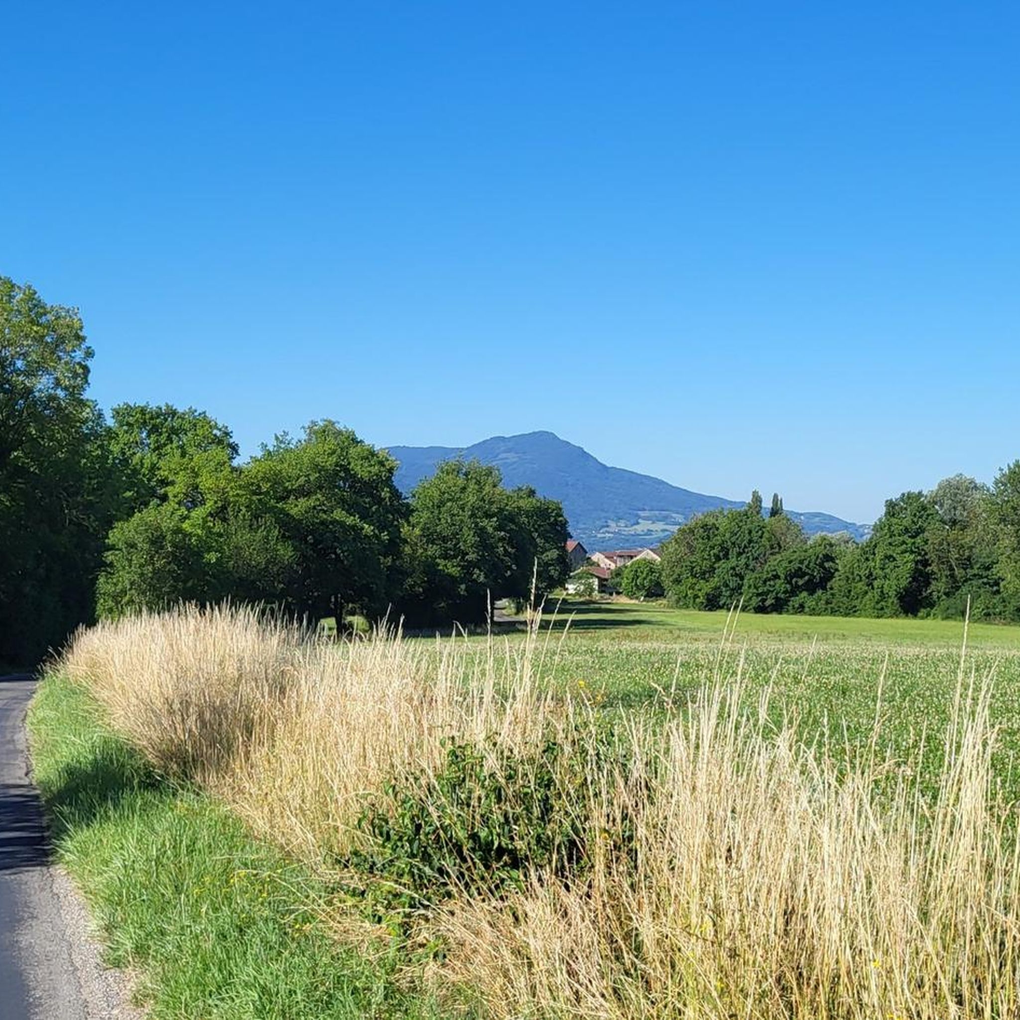
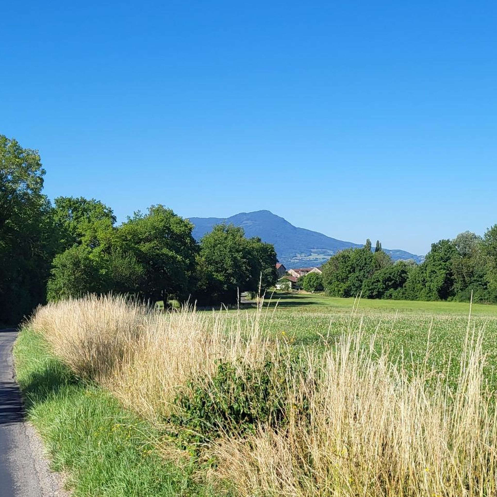
The road leading to the Col de Draillant is a series of small bends. The asphalt is new and smooth as velvet. The views of Lake Geneva accompany you on several sections of the road.
0
0

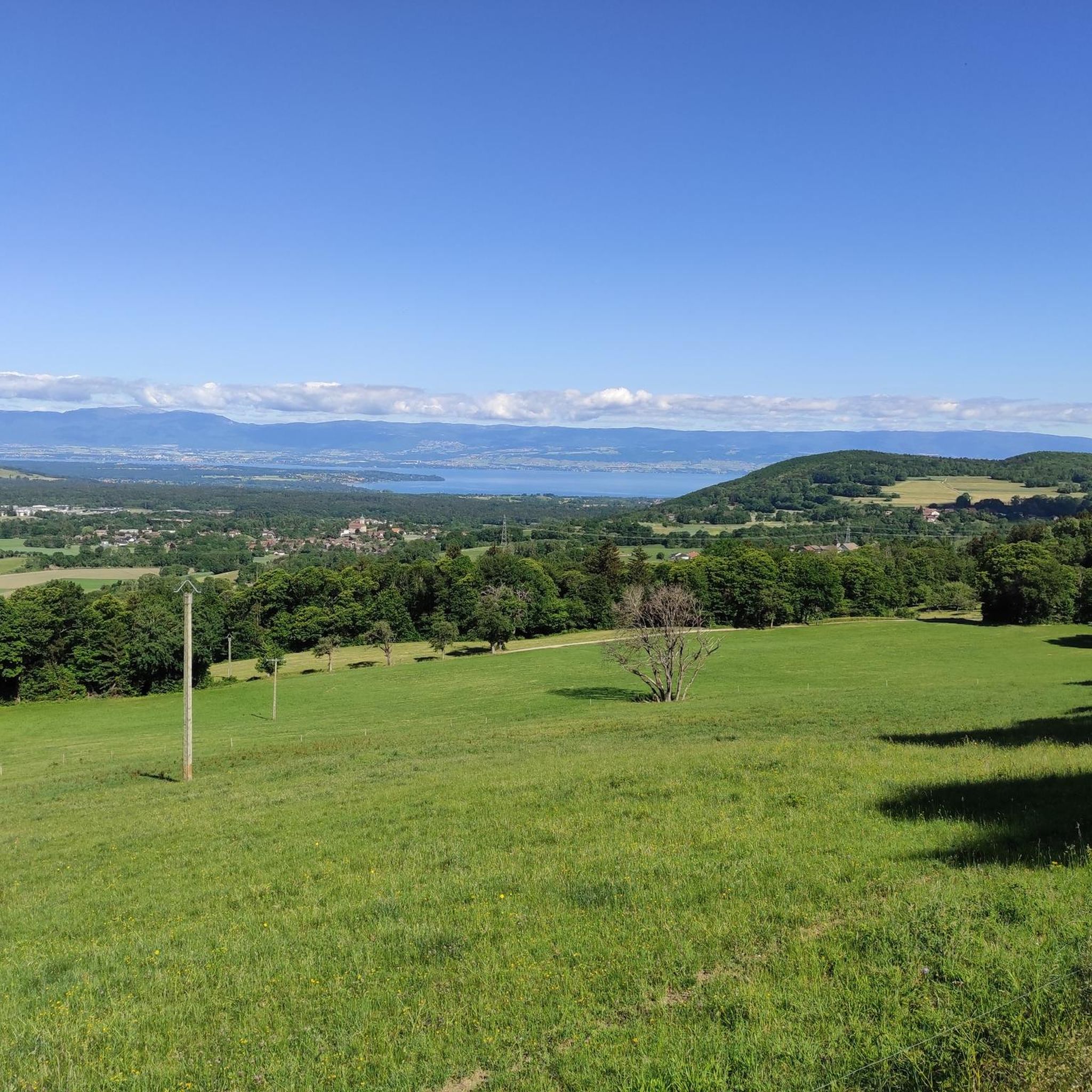
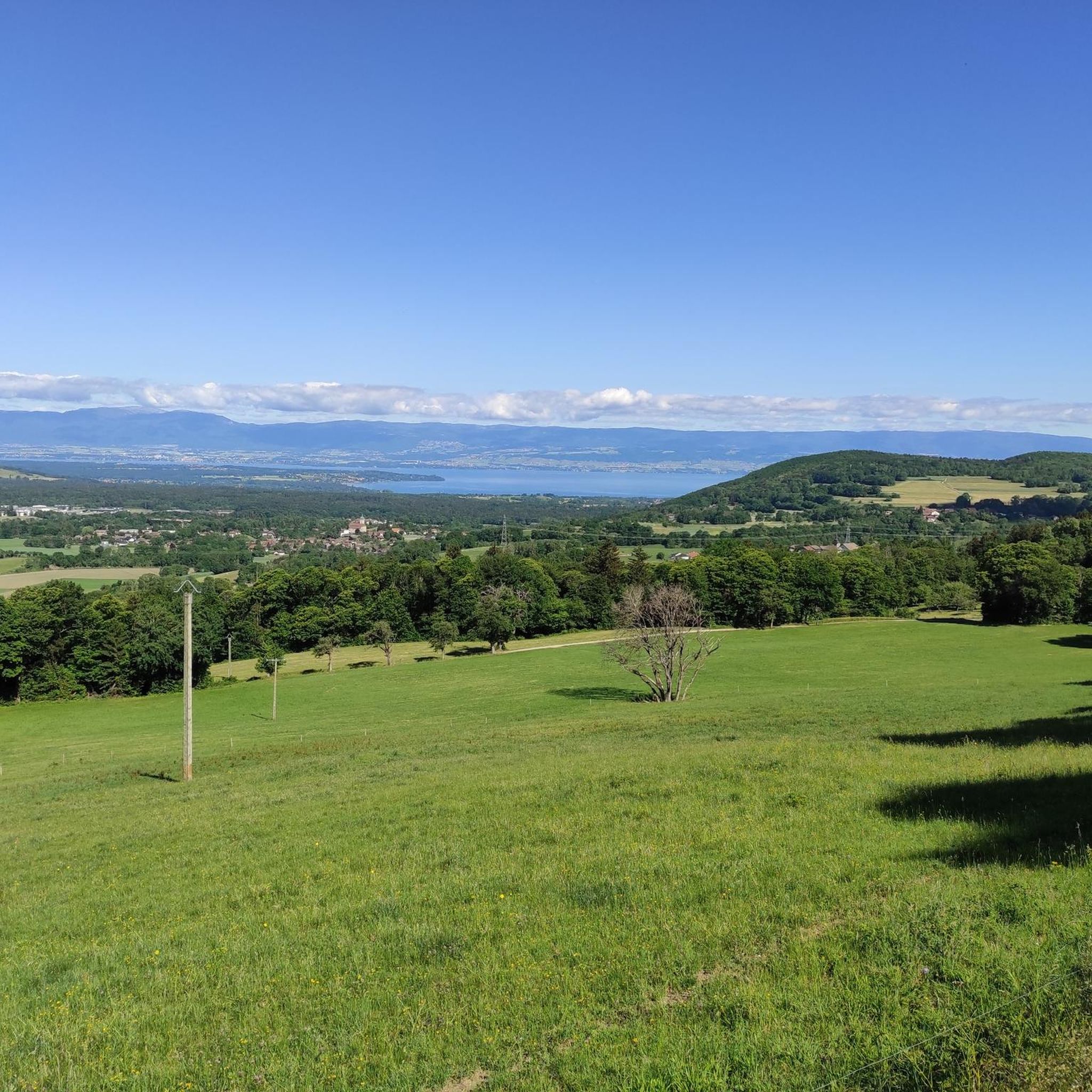
After the effort, your reward at the top of the Col du Feu is a magnificent view of the peaks of the Chablais massif and Lake Geneva.
1
0
Frequently Asked Questions
What types of road cycling routes can I find around Perrignier?
Perrignier, nestled in the Haute-Savoie, offers a diverse range of road cycling routes catering to various skill levels. You'll find everything from moderate paths with scenic views to challenging routes featuring significant elevation gains through mountain passes. The region's topography ensures a constant shift in gradient and scenery, characteristic of the Alpine environment.
Are there road cycling routes suitable for beginners or those looking for a moderate ride?
Yes, the area around Perrignier has options for less experienced riders. For instance, the Col de Cou – Col des Moises loop from Perrignier is a moderate 29.2 km path that offers beautiful views and traverses two distinct mountain passes without extreme difficulty. Overall, there are 64 moderate routes out of 127 available.
What are some challenging road cycling routes for experienced riders near Perrignier?
Experienced road cyclists seeking a challenge will find plenty of options. The Col du Feu – Jambaz Pass loop from Perrignier is a difficult 122.7 km route with substantial elevation gain. Another demanding option is the Jambaz Pass – Grand Taillet Pass loop from Perrignier, a 103.2 km trail through multiple mountain passes and Alpine scenery. There are 37 difficult routes in total.
What natural features or landmarks can I see while road cycling near Perrignier?
The region is rich in natural beauty and landmarks. Many routes offer stunning views of Lake Geneva (Lac Léman) and Lake Annecy. You can also cycle past picturesque sites like the medieval village of Yvoire Medieval Village on Lake Geneva, or explore natural monuments such as Copacou Stone. Mountain passes like Col de Romme and Col de la Colombière also provide rewarding vistas.
Are there any routes that offer views of Lake Geneva or Lake Annecy?
Absolutely. Perrignier's location provides easy access to both Lake Geneva and Lake Annecy, and many routes incorporate these stunning backdrops. For example, the View of the lake and Chablais – Col de Cou loop from Perrignier offers beautiful lake views. Lakeside routes typically feature gentler gradients compared to mountain ascents.
When is the best time of year for road cycling in Perrignier?
The best time for road cycling in Perrignier is generally from spring through autumn. During these seasons, the weather is more favorable, and mountain passes are typically clear of snow. The Haute-Savoie region is known for its dramatic Alpine landscapes, which are particularly enjoyable in milder conditions.
Are there many circular road cycling routes available around Perrignier?
Yes, many of the road cycling routes around Perrignier are designed as loops, allowing you to start and finish in the same location. Examples include the Col du Feu – Col du Feu loop from Draillant, which is a moderate 16.3 km ride. This design makes planning your ride and return much more convenient.
Is there parking available for cyclists in Perrignier?
While specific parking areas for cyclists aren't detailed, Perrignier is a small town, and general parking is usually available. It's advisable to look for public parking in the town center or near the start points of popular routes. Always check local signage for any restrictions.
Can I reach Perrignier by public transport with my bike?
Public transport options in the Haute-Savoie region may allow bikes, but it's essential to check specific regulations for trains or buses beforehand. Policies can vary depending on the service and time of day. For detailed information on bringing bikes on public transport, it's best to consult the local transport providers directly.
What do other cyclists say about road cycling in Perrignier?
The road cycling routes around Perrignier are highly rated by the komoot community, with an average score of 4.5 stars from over 200 reviews. Cyclists often praise the varied terrain, the stunning Alpine scenery, and the challenging yet rewarding mountain passes. Over 10,000 road cyclists have used komoot to explore the area, highlighting its popularity.
Are there any special schemes or events for cyclists in the Haute-Savoie region?
Yes, the broader Haute-Savoie region occasionally implements the 'Cols réservés aux cyclistes' scheme. This initiative temporarily closes certain mountain roads to vehicle traffic, allowing cyclists to enjoy these iconic passes freely and safely. It's worth checking local tourism resources for dates and locations of these special events.
Are there bike-friendly cafes or accommodation options in Perrignier?
Perrignier and the surrounding charming towns often have cafes and restaurants where cyclists can refuel. For accommodation, many establishments in popular cycling regions are accustomed to hosting cyclists and may offer amenities like secure bike storage. It's recommended to check with individual hotels or guesthouses for their specific bike-friendly services.
Most popular routes around Perrignier
Most popular attractions around Perrignier

Get inspired with the komoot mobile app


Explore more
Browse the best Road cycling routes in other regions.
