The best mountain hikes around La Ravoire
4.5
(15)
101
hikers
16
hikes
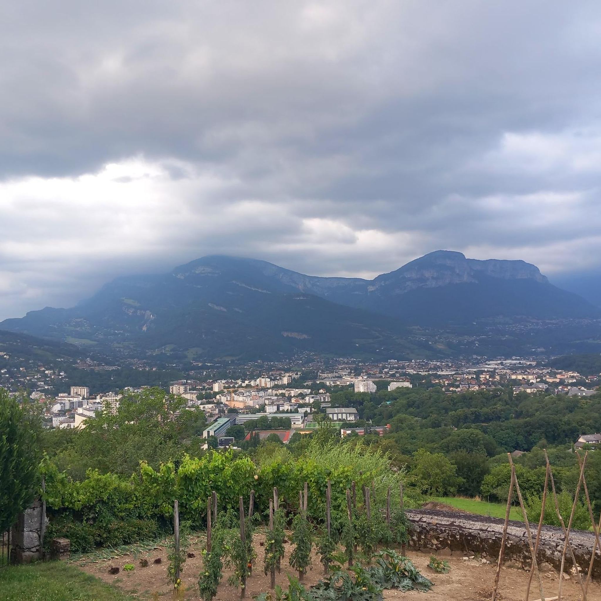
Mountaineering routes around La Ravoire are situated in a mountainous region near Chambéry, characterized by varied terrain suitable for alpine activities. The landscape features significant elevation changes, with routes often leading to prominent points and through rocky sections, including via ferrata opportunities. This area provides a challenging environment for mountaineers seeking ascents and technical paths.
Best mountaineering routes around La Ravoire
- The most popular mountaineering route is Mount Kamuniak – Nivolet Cross loop from Chambéry, an easy 3.9 miles…
Last updated: July 1, 2026
4.0
(2)
20
hikers
6.25km
01:50
170m
170m
Easy mountaineering route. Great for any fitness level. Easily-accessible paths. Suitable for all skill levels.
5.0
(5)
15
hikers
3.79km
01:56
290m
290m
Hard mountaineering route. Great for any fitness level. Sure-footedness, sturdy shoes and alpine experience required.

Sign up for free
17
hikers
Hard mountaineering route. Good fitness required. Sure-footedness, sturdy shoes and alpine experience required.
5.0
(1)
5
hikers
9.32km
02:51
290m
290m
Hard mountaineering route. Good fitness required. Sure-footedness, sturdy shoes and alpine experience required.
4.8
(4)
7
hikers
8.30km
02:28
250m
250m
Moderate mountaineering route. Good fitness required. Easily-accessible paths. Suitable for all skill levels.
Get access to more routes and recommendations from other explorers.
Sign up for free
Already have an account?
Our route recommendations are based on thousands of hikes, rides, and runs completed by other people on komoot.
Start today with a free account
Your next adventure awaits.
Login or Signup
Tips from the Community

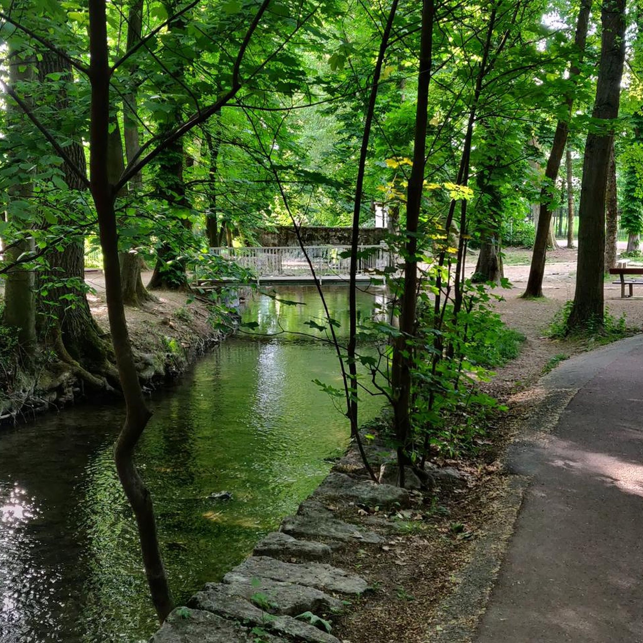
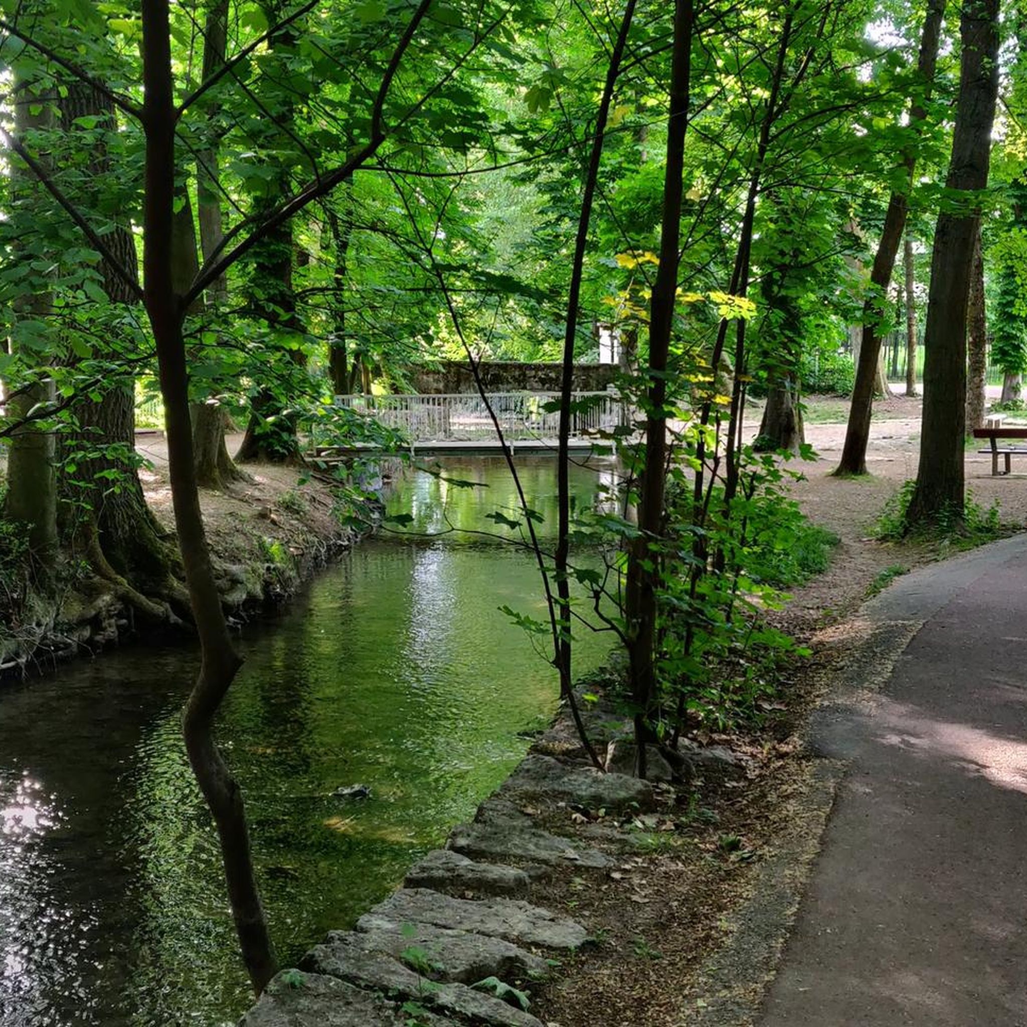
Avoid taking this path, it is dangerous, very steep and slippery with pebbles.
0
0

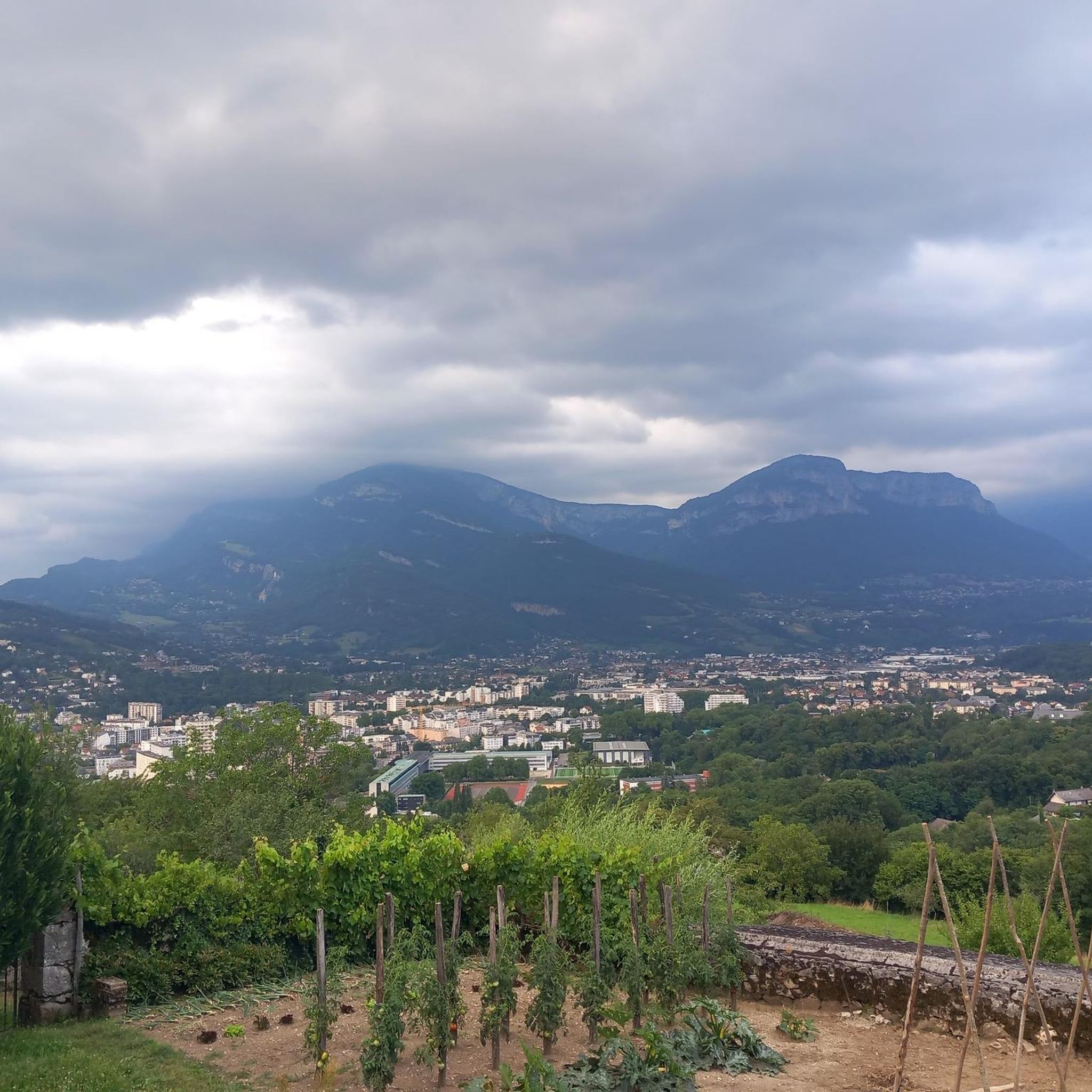
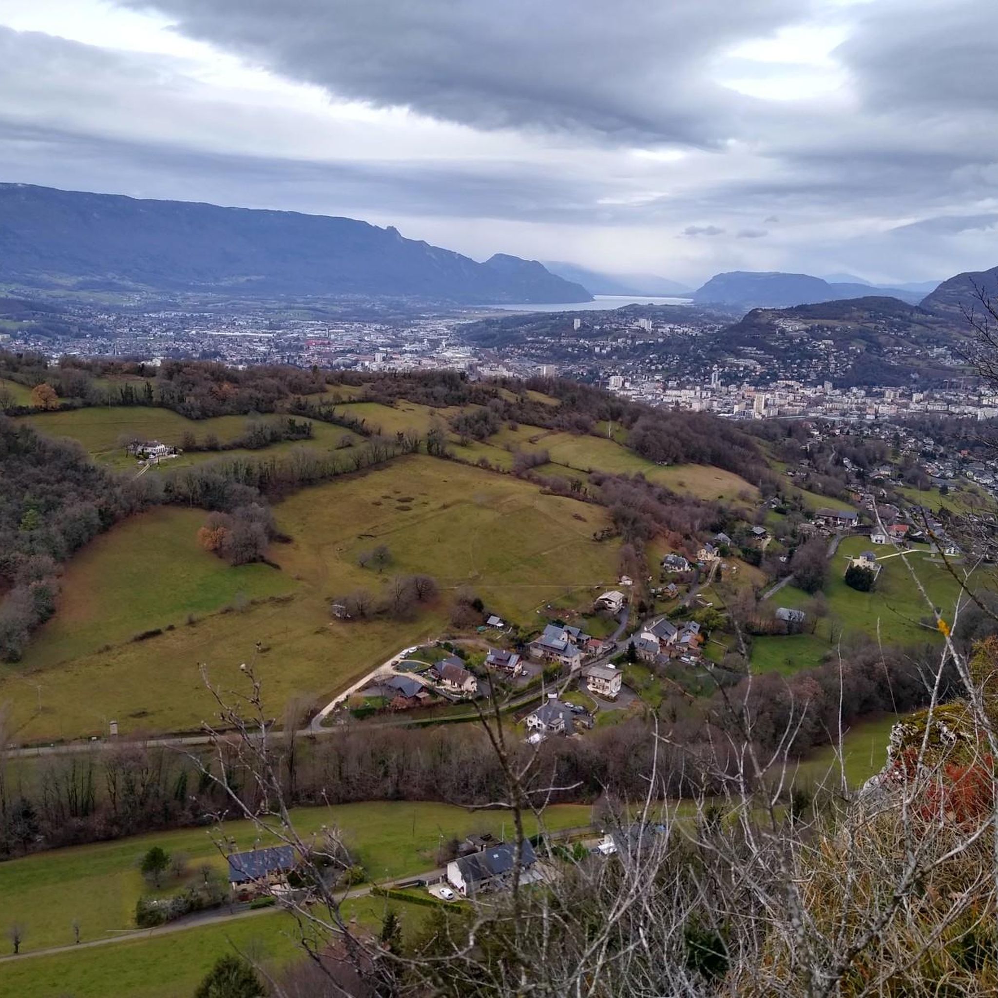
Magnificent view of Chambéry and Lake Bourget A lovely picnic area
0
0

Don't forget that even if it's in the mid-mountains, you need to be equipped for the weather, good shoes, and good physical condition.
0
0

The via ferrata of the Carret cave is rated extremely difficult (ED), it is worth the detour for its views, its apparatus and its overhangs. But beware, beginners should refrain!
0
0

Be careful, this is a very steep passage, it is almost like climbing for some sections. If the ground is wet, it is very slippery and dangerous.
0
0


The ascent is worth it: fantastic panorama and also an opportunity for a short rest with the opportunity to sit in a sociable group with the Lunerus😊 (it is somewhat reminiscent of "Number 5").
0
1
The beautiful and varied hiking trail to the summit cross alone is a pleasure, and once you reach the summit, you have a breathtaking panorama in all directions (Alps, Lac du Bourget, Chamberry, Aix-les-Bains, mountains and valleys). Highly recommended 😀👍!
0
1
Frequently Asked Questions
What is the overall difficulty level of mountaineering routes around La Ravoire?
The mountaineering routes around La Ravoire offer a diverse range of challenges. While there is one easy route, the majority are more demanding, with 4 moderate and 12 difficult routes available. This area is particularly well-suited for those seeking technical paths and significant ascents, including via ferrata experiences.
Are there any beginner-friendly mountaineering routes in the La Ravoire area?
Yes, there is at least one easy mountaineering route suitable for beginners. You might enjoy the Mount Kamuniak – Nivolet Cross loop from Chambéry, which is an accessible 3.9-mile (6.3 km) trail offering mountain views without extreme difficulty.
What kind of advanced mountaineering challenges can I find near La Ravoire?
For advanced mountaineers, La Ravoire offers numerous challenging routes, including several via ferratas. A notable difficult option is the Via ferrata La Grotte à Carret – Via ferrata ptchi loop from Grande Cascade de la Doria, which involves technical sections and substantial elevation gain over 6.3 miles (10.2 km).
Are most mountaineering routes around La Ravoire circular?
Yes, many of the mountaineering routes in the La Ravoire area are designed as loops, allowing you to return to your starting point without retracing your steps. For example, the challenging Pointe de la Galoppaz – Col de la Buffaz loop from Puygros is a popular circular option.
What are some of the longer mountaineering routes available?
If you're looking for a longer day out, the Via ferrata ptchi – Croix du Nivolet loop from Grande Cascade de la Doria covers nearly 10 miles (16 km) with over 1000 meters of ascent. This route provides an extensive mountaineering experience.
What kind of natural attractions can I see along the mountaineering routes?
The region around La Ravoire is rich in natural beauty. Along your mountaineering routes, you might encounter stunning features like the Cascade de la Doriaz, the prominent Nivolet Cross, or enjoy panoramic views from the Coche Pass.
Are there any viewpoints or scenic spots to look out for?
Absolutely. The mountainous terrain around La Ravoire offers numerous viewpoints. Keep an eye out for places like the Étincelle Viewpoint or the Voues de l'Épine Viewpoint, which provide expansive vistas of the surrounding landscapes, including nearby lakes.
What do other mountaineers say about the routes in La Ravoire?
The mountaineering routes in La Ravoire are highly regarded by the komoot community, holding an average score of 4.5 stars from over 15 reviews. Users frequently praise the challenging ascents, rocky sections, and the rewarding panoramic viewpoints that define the area's trails.
What is the best time of year for mountaineering around La Ravoire?
The best time for mountaineering around La Ravoire is typically from late spring to early autumn (May to October). During these months, the weather is generally more stable, and trails are free of snow at lower to mid-altitudes. Always check local weather forecasts and trail conditions before heading out, especially for higher elevations.
Are there any specific permits required for mountaineering in this region?
Generally, permits are not required for standard mountaineering and hiking routes in the La Ravoire area. However, if you plan to engage in specific activities like climbing via ferratas, ensure you have the appropriate equipment and knowledge. Always respect local regulations and private property.
How many mountaineering routes are available in total around La Ravoire?
There are 17 mountaineering routes documented around La Ravoire, offering a wide variety of experiences for different skill levels. This includes a mix of easy, moderate, and difficult trails, many of which feature significant elevation changes and technical sections.
What should I know about winter mountaineering in La Ravoire?
Winter mountaineering in La Ravoire can be challenging and requires specific skills and equipment, such as crampons, ice axes, and avalanche safety gear. Many routes may be impassable or significantly more difficult due to snow and ice. It's crucial to have experience in winter conditions and to consult local mountain guides or official bulletins for current snowpack and avalanche risk assessments before attempting any winter ascents.
Most popular routes around La Ravoire
Most popular attractions around La Ravoire

Get inspired with the komoot mobile app


Explore more
Browse the best Mountain Hikes & Routes in other regions.
