The best road cycling routes around Cholonge
4.6
(242)
6,469
riders
80
rides
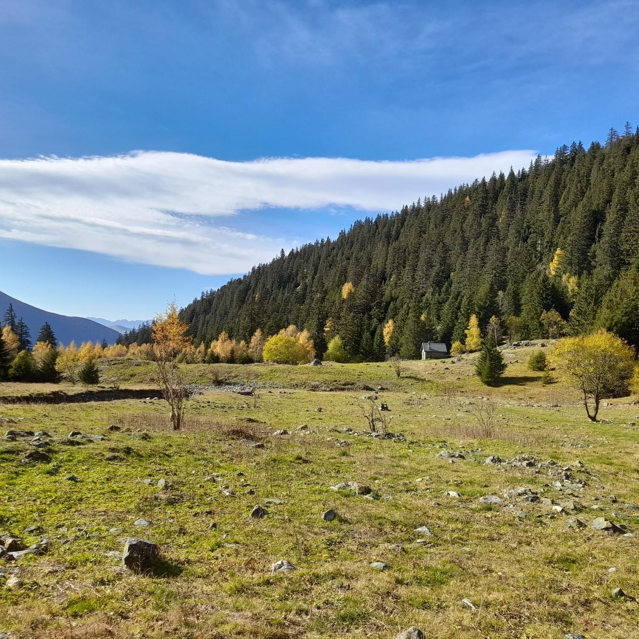
Road cycling routes around Cholonge are situated within the Isère department of France's Auvergne-Rhône-Alpes region, characterized by its diverse and challenging natural landscape. The area features significant elevation changes, with altitudes ranging from 905 meters to 2,140 meters, providing substantial climbs and descents. Bordered by Lac de Laffrey to the west and the Taillefer massif to the east, the region offers a mix of lakeside roads and mountainous terrain. This topography creates an environment suitable for varied road cycling experiences.
…Last updated: May 20, 2026
4.8
(17)
288
riders
50.3km
03:06
1,320m
1,320m
Hard road ride. Very good fitness required. Mostly well-paved surfaces and easy to ride.
5.0
(2)
66
riders
77.2km
04:09
1,450m
1,450m
Hard road ride. Very good fitness required. Mostly well-paved surfaces and easy to ride.

Sign up for free
37
riders
20.5km
01:03
310m
310m
Moderate road ride. Good fitness required. Mostly well-paved surfaces and easy to ride.
4.0
(2)
29
riders
26.9km
01:25
380m
380m
Moderate road ride. Good fitness required. Mostly well-paved surfaces and easy to ride.
5.0
(3)
25
riders
27.9km
01:24
350m
350m
Moderate road ride. Good fitness required. Mostly well-paved surfaces and easy to ride.
Get access to more routes and recommendations from other explorers.
Sign up for free
Already have an account?
Our route recommendations are based on thousands of hikes, rides, and runs completed by other people on komoot.
Start today with a free account
Your next adventure awaits.
Login or Signup
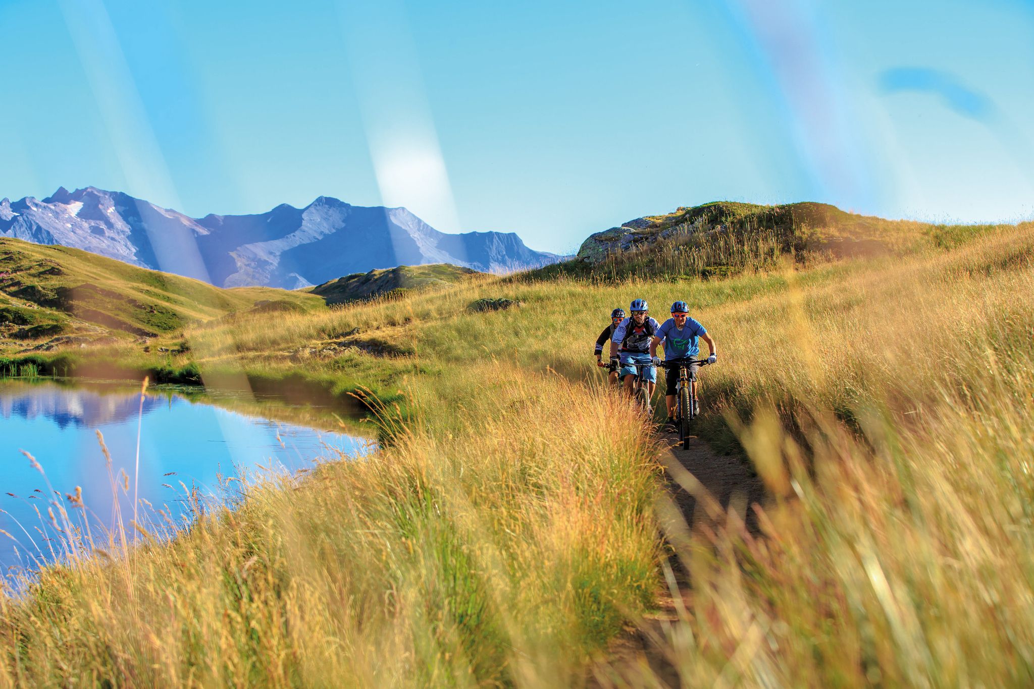
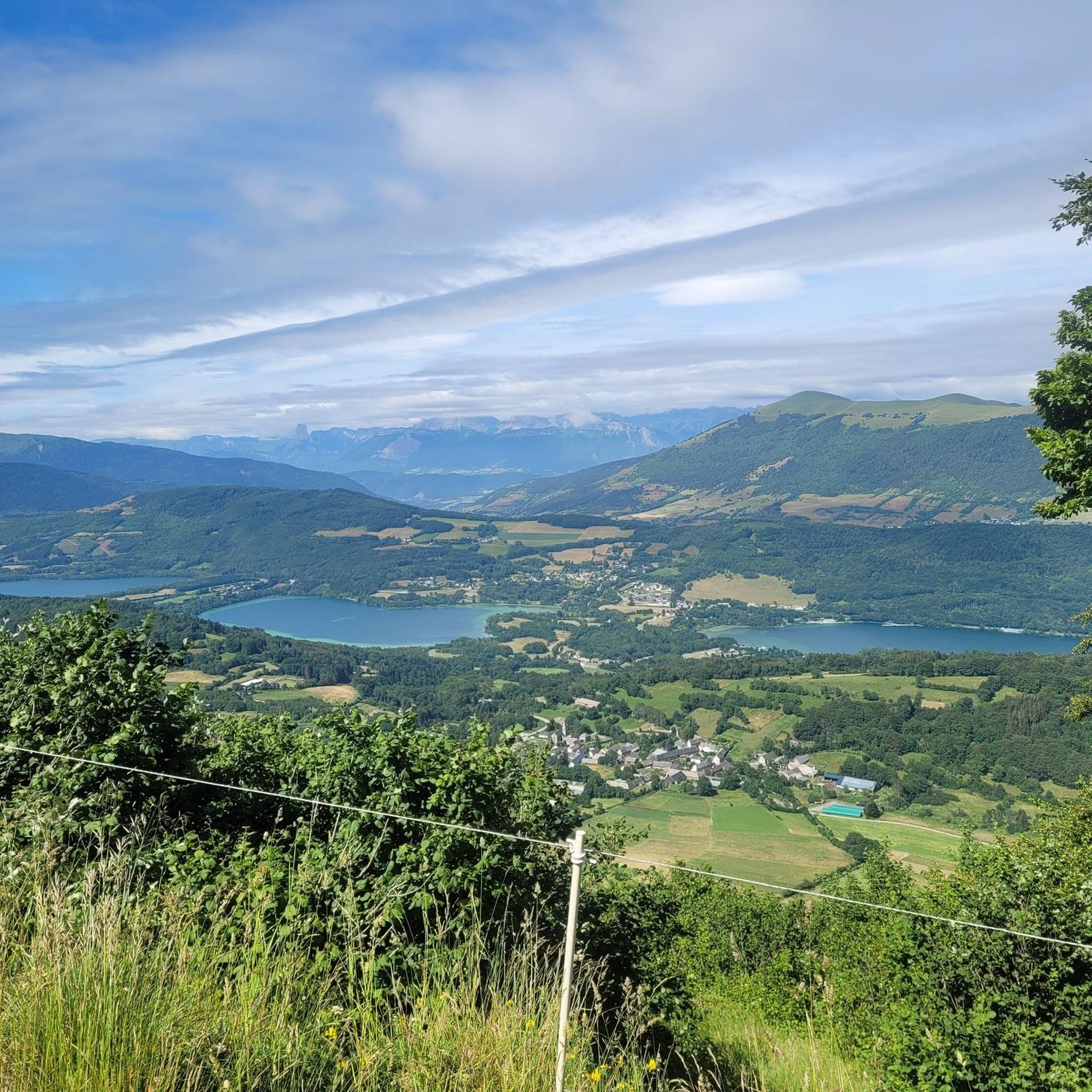
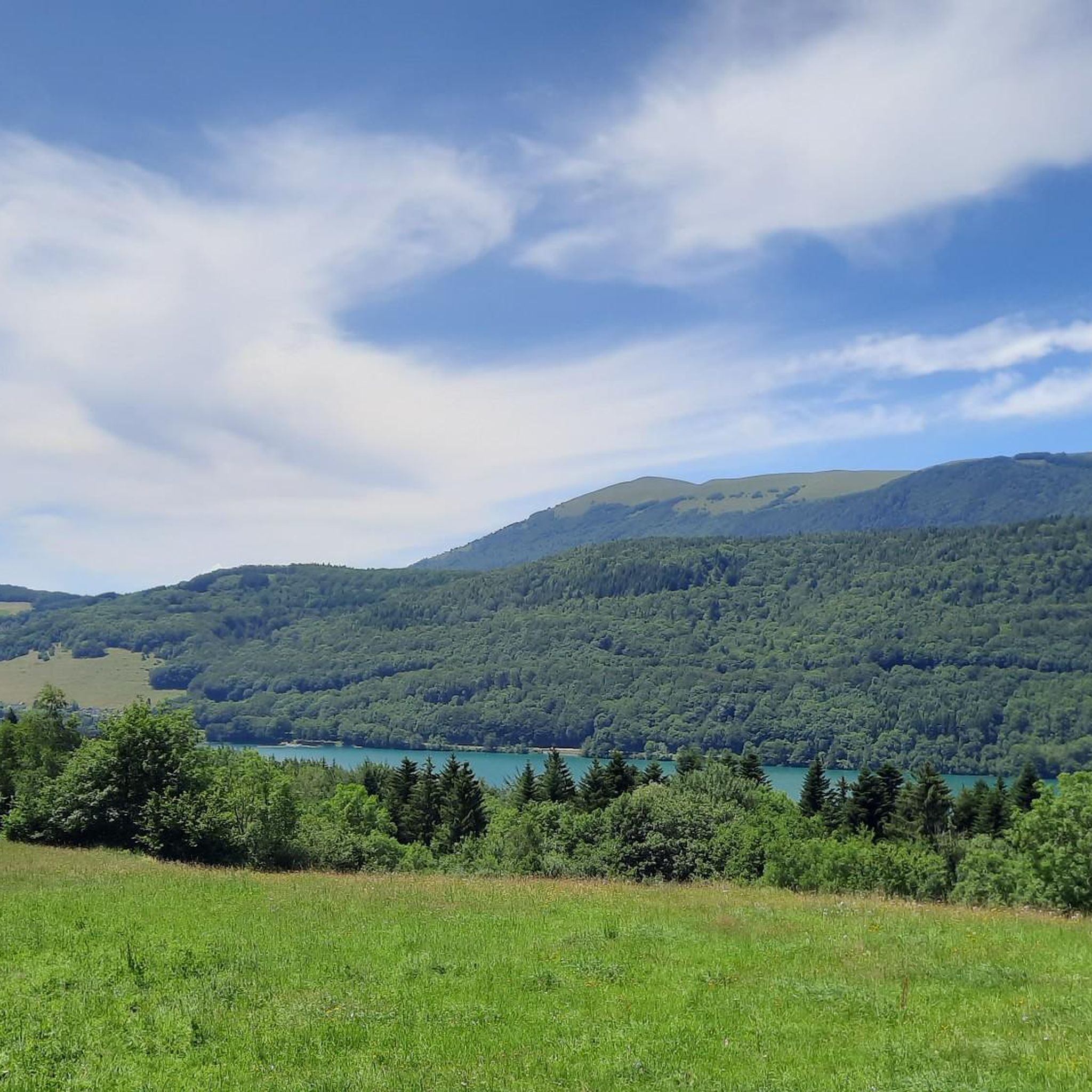
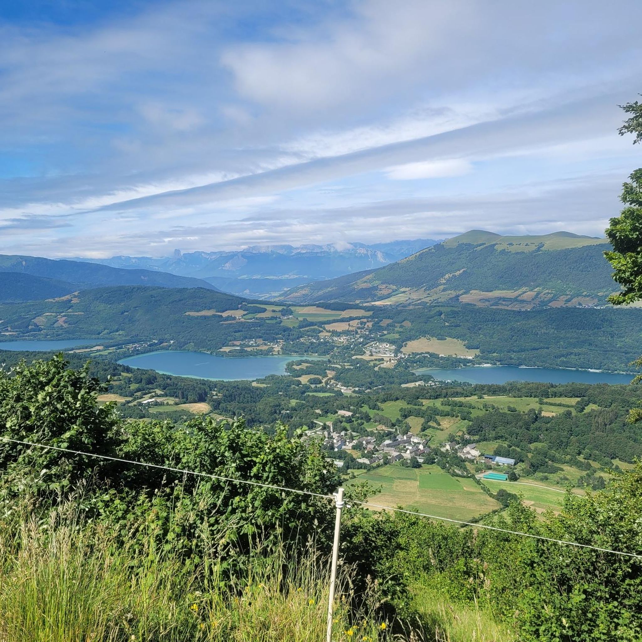


Other adventures around Cholonge

Tips from the Community

It is from the road to La Corniche that we have the most beautiful views of Lake Monteynard
0
0
The Corniche du Drac is a very beautiful route in Matheysine
0
0
The little road that goes down from Cholonge is great and on arrival you have a superb view of Lake Lafrey
0
0
A pass of about fifteen kilometers, with a 1,000 m elevation gain. Almost always in the shade, with little traffic.
0
0

Don't go too far, the last 12% are fierce.
0
0

Nice descent to Nantes-en-Rattier.
1
0
Small mid-mountain pass (1153m), in the heart of the Matheysin Plateau. Little busy road.
1
0
Frequently Asked Questions
What kind of terrain can I expect when road cycling around Cholonge?
Cholonge is situated on the Matheysine plateau, offering a diverse and challenging natural landscape. You can expect significant elevation changes, with altitudes ranging from 905 meters to 2,140 meters, providing substantial climbs and descents. The region features both mountainous terrain, bordering the Taillefer massif, and scenic lakeside roads around Lac de Laffrey.
Are there road cycling routes suitable for beginners or those looking for an easier ride?
Yes, while Cholonge is known for its challenging terrain, there are options for various ability levels. The region offers 2 easy and 30 moderate routes, alongside 32 difficult ones. For a moderate experience with scenic views, consider the Grand Lake of Laffrey – Lake Laffrey loop from Saint-Théoffrey, which is about 19 miles (30.5 km) long.
What are some notable natural features or viewpoints I can experience on a road cycling route?
Road cycling routes around Cholonge offer stunning natural beauty. You can enjoy panoramic views of the Vercors massif, especially on routes like the View of the Vercors – Lake Laffrey loop from Saint-Barthélemy-de-Séchilienne. The region is also bordered by Lac de Laffrey, providing picturesque lakeside cycling. For specific viewpoints, consider highlights such as Astonishing view of Mont Aiguille or Nice view of Montchaboud from the heights.
Are there any challenging climbs for experienced road cyclists in the Cholonge area?
Absolutely. Cholonge's mountainous terrain provides numerous challenging climbs. The region features routes with significant elevation gain, such as the Tour in Matheysine with the Col de la Morte, which covers over 1,300 meters of ascent. Another demanding option is the Col de la Morte – Col de la Morte loop from Séchilienne, featuring over 1,600 meters of elevation gain.
What is the best time of year to go road cycling in Cholonge?
Given the significant altitudes and mountainous terrain, the best time for road cycling in Cholonge is typically from late spring through early autumn. During these months, the weather is generally more stable, and mountain passes are clear of snow, offering optimal conditions for enjoying the climbs and scenic routes. Winter cycling may be possible at lower elevations but can be challenging due to snow and ice.
What do other road cyclists say about their experience in Cholonge?
The road cycling routes in Cholonge are highly rated by the komoot community, with an average score of 4.5 stars from over 240 reviews. Cyclists often praise the diverse terrain, from challenging mountain passes to scenic lakeside roads, and the rewarding views of the surrounding landscapes like the Vercors massif and Lac de Laffrey.
Are there any historical landmarks or points of interest accessible by road bike near Cholonge?
Yes, beyond the natural beauty, you can find interesting landmarks. For instance, the Château de Vizille is a notable historical site in the vicinity. You might also encounter natural monuments like La Pierre Percée, depending on your chosen route.
Are there any circular road cycling routes available around Cholonge?
Many of the road cycling routes in Cholonge are designed as loops, allowing you to start and finish in the same location. Examples include the View of the Vercors – Lake Laffrey loop from Saint-Barthélemy-de-Séchilienne and the Grand Lake of Laffrey – Lake Laffrey loop from Saint-Théoffrey, both offering scenic circular tours around Lac de Laffrey.
How many road cycling routes are available in the Cholonge area?
There are over 60 road cycling routes available around Cholonge on komoot, offering a wide variety of distances, elevations, and difficulty levels to suit different preferences and fitness levels.
Can I find routes that include the Col de la Morte?
Yes, the Col de la Morte is a prominent feature in the region and is included in several challenging road cycling routes. For example, the La Morte Pass (1,370 m) – Col de la Morte loop from Séchilienne offers a significant climb to this pass.
Most popular attractions around Cholonge

Get inspired with the komoot mobile app


Explore more
Browse the best Road cycling routes in other regions.
