The best running trails around La Vernaz
4.4
(144)
4,726
runners
174
runs
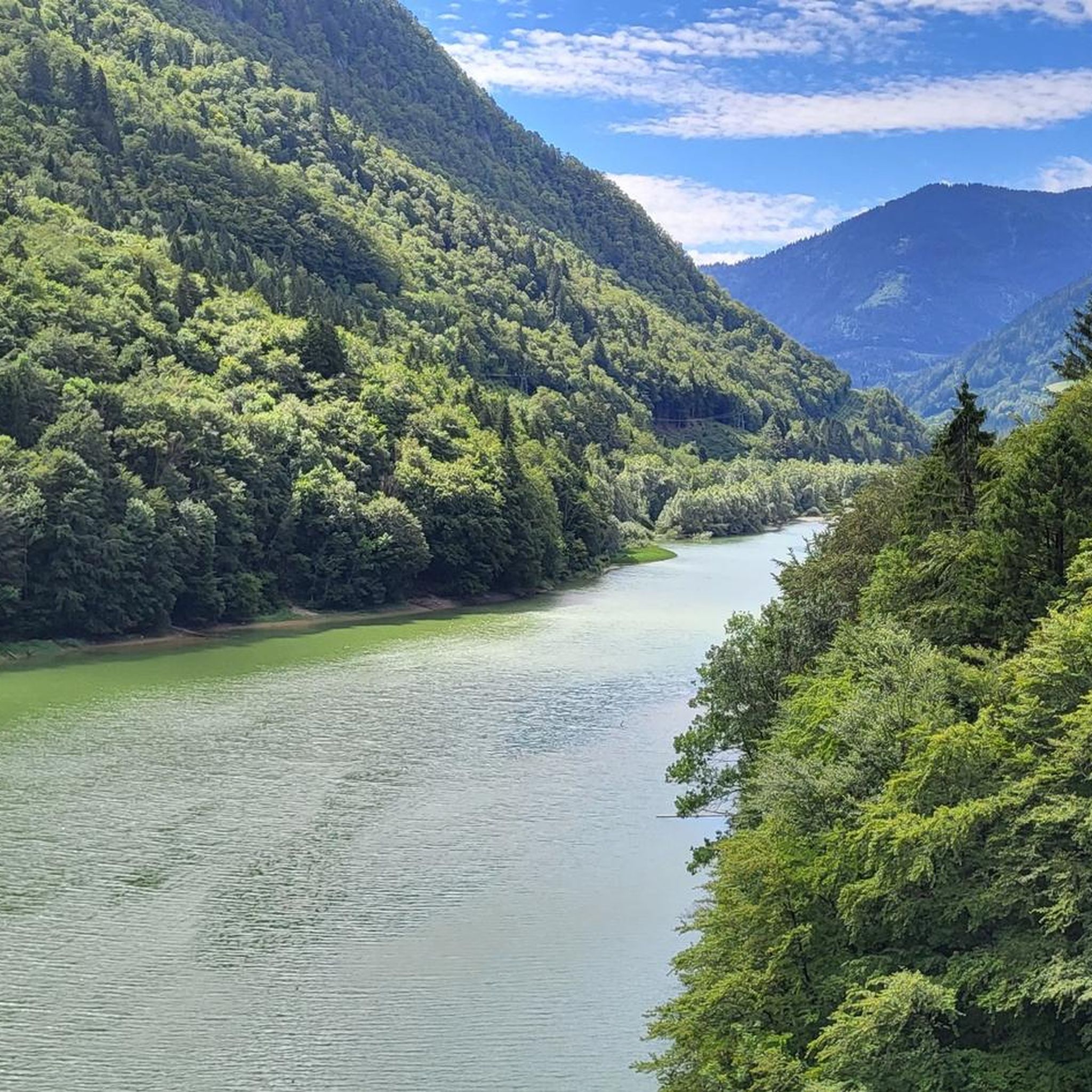
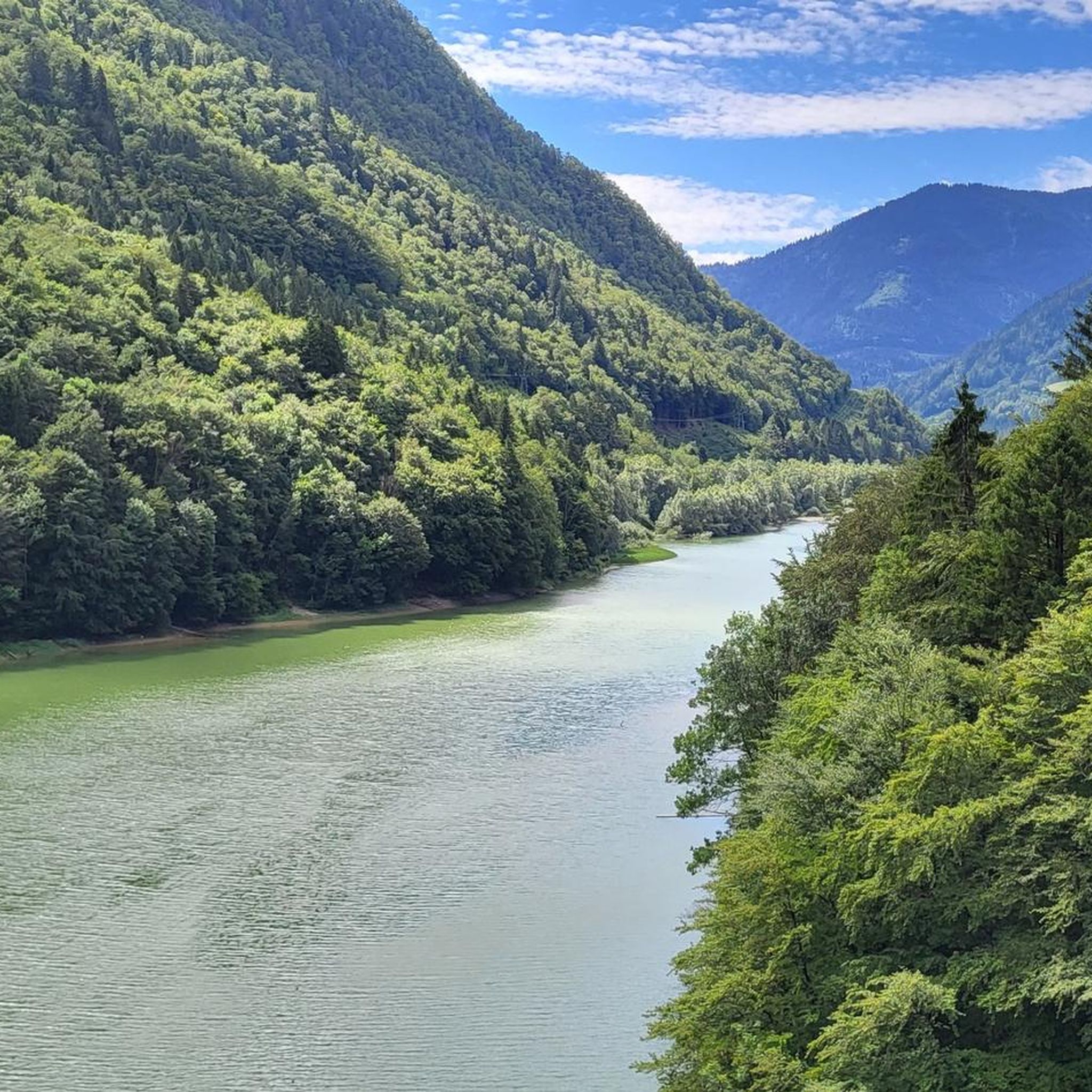
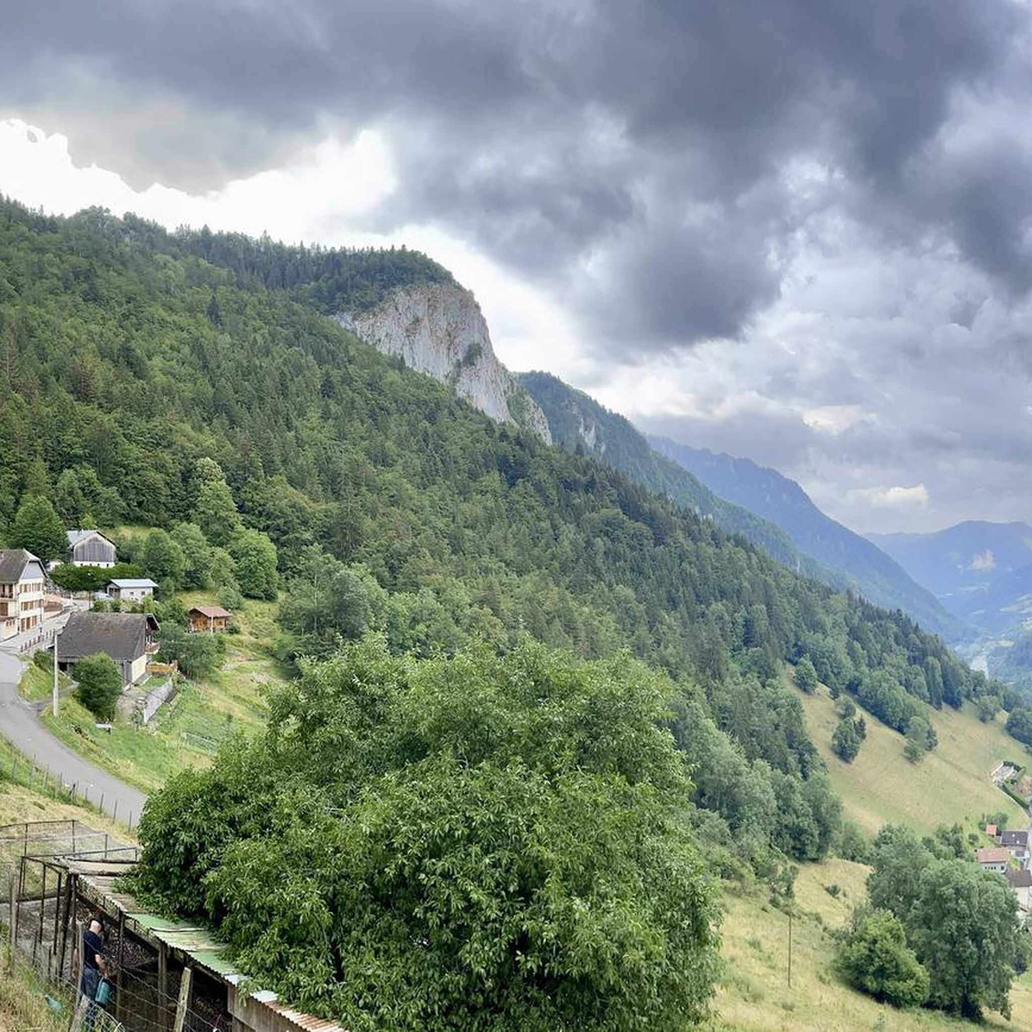
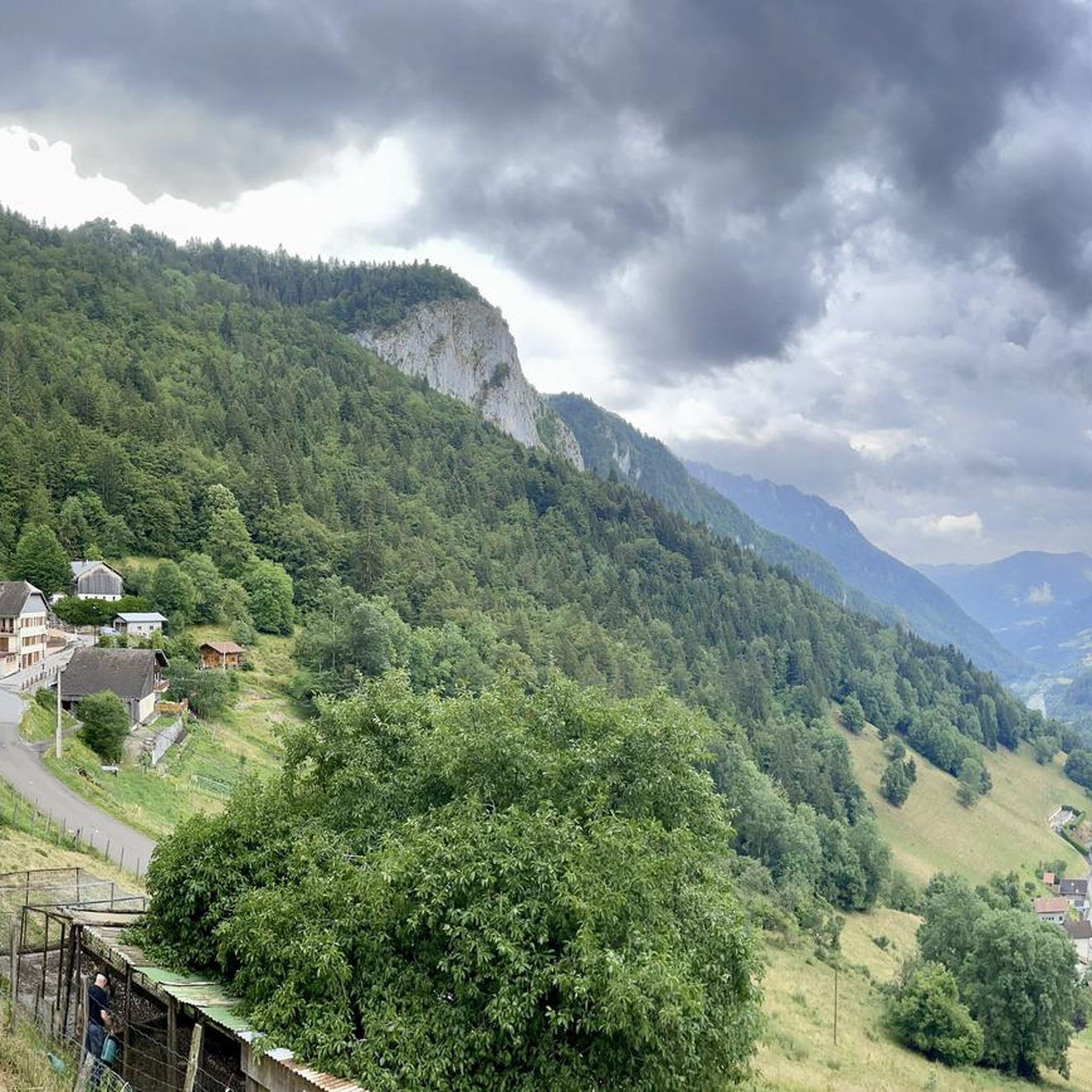
Jogging routes around La Vernaz traverse a diverse landscape within the French Alps, situated at an altitude of 800 meters. The region is characterized by significant elevation changes, ancient beech forests, and dramatic geological formations carved by the Dranse river. Runners can expect a mix of challenging ascents and descents, with trails leading through mountain valleys, open meadows, and alongside tranquil lakes. This varied terrain provides opportunities for both endurance training and scenic running experiences.
Best jogging routes around La…
Last updated: May 20, 2026
3.0
(1)
49
runners
15.7km
02:37
1,000m
1,000m
Hard run. Very good fitness required. Sure-footedness, sturdy shoes and alpine experience required.
50
runners
15.0km
02:18
820m
820m
Hard run. Very good fitness required. Sure-footedness, sturdy shoes and alpine experience required.

Sign up for free
41
runners
12.3km
01:55
760m
760m
Hard run. Very good fitness required. Sure-footedness, sturdy shoes and alpine experience required.
5.0
(2)
24
runners
14.5km
01:42
320m
320m
Hard run. Very good fitness required. Mostly paved surfaces. Suitable for all skill levels.
19
runners
8.34km
01:33
560m
560m
Hard run. Very good fitness required. Sure-footedness, sturdy shoes and alpine experience required.
Get access to more routes and recommendations from other explorers.
Sign up for free
Already have an account?
Our route recommendations are based on thousands of hikes, rides, and runs completed by other people on komoot.
Start today with a free account
Your next adventure awaits.
Login or Signup
Tips from the Community

Loop made from the Trechauffe viewpoint, the Pointe de Trechauffe, the Poissât cow farm, the chalets... via the closed section because it is slippery... but passable for expert hikers equipped... beautiful walk.
0
0

In Chablais, Mount Ouzon is the last peak in the Aulps Valley before reaching Lake Geneva. Heading south, it offers a beautiful view of Mont Blanc. No need to climb to the summit to see the roof of Europe, you can stay at the pass.
1
0
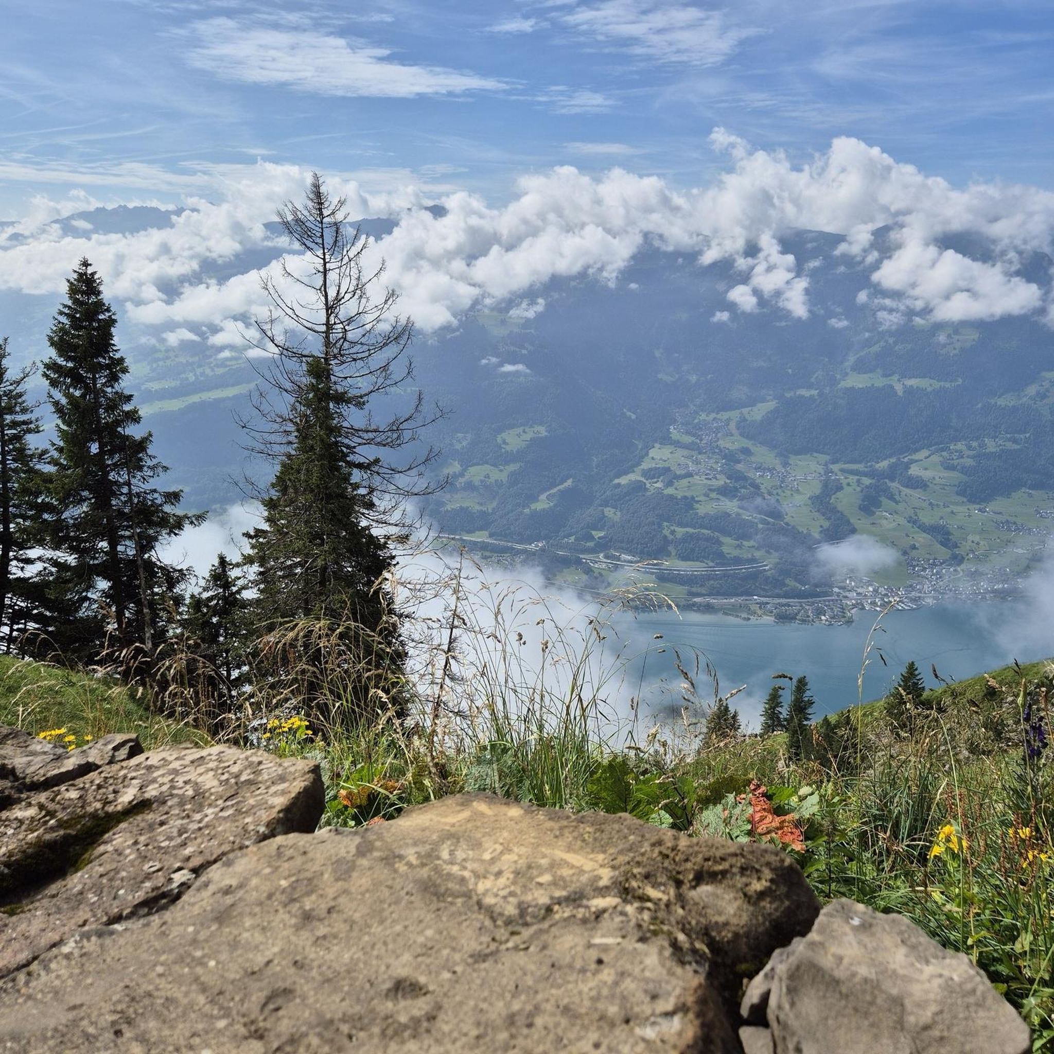
More than a parking lot, this place offers a breathtaking view of the Dranse Valley and Lake Geneva. You can walk to the nearby Tréchauffé goat farm to taste their cheeses.
0
0

The Notre-Dame-des-Hermones chapel, perched in the Chablais massif, offers an exceptional panorama of the Alps and Lake Geneva. Accessible after a beautiful hike, this small isolated chapel is a peaceful place. Surrounded by alpine meadows and forests, it exudes a rustic charm that will seduce lovers of nature and serenity.
0
0

Steep climb coming from Morzine with an average of 8% in the first part then 9%.
1
0


Magnificent view of Chablais and Lake Geneva. it is reached after passing the Grand Taillé pass. the climb is tough, but the panorama is worth it
0
0

Frequently Asked Questions
How many running routes are available around La Vernaz?
There are over 175 running routes around La Vernaz, offering a wide range of options for different skill levels. You'll find everything from moderate paths to challenging alpine trails.
What kind of terrain can I expect on the jogging trails in La Vernaz?
Jogging routes in La Vernaz feature a diverse landscape, including significant elevation changes, ancient beech forests, and dramatic geological formations carved by the Dranse river. You can expect a mix of challenging ascents and descents, with trails leading through mountain valleys, open meadows, and alongside tranquil lakes.
Are there any circular running routes in the area?
Yes, many of the running routes around La Vernaz are circular. For example, the difficult Pointe de Tréchauffé – Col de l'Aiguille loop from La Forclaz is a popular 16.1 km option, and the Mount Hermon loop from Vailly offers panoramic views over 15 km.
What do other runners enjoy most about the trails in La Vernaz?
The running routes in La Vernaz are highly rated by the komoot community, with an average score of 4.4 stars from over 130 reviews. Runners often praise the stunning alpine scenery, the variety of challenging terrain, and the well-maintained paths through forests and meadows.
Are there any easy or family-friendly jogging routes in La Vernaz?
While many routes are moderate to difficult due to the alpine terrain, there are some easier options. The village discovery trail, for instance, is a 2.6 km route with a moderate elevation gain, winding through forests and orchards, suitable for a relaxed jog or family outing. Komoot lists 5 easy routes in the area.
Can I find routes suitable for long-distance trail running?
Absolutely. La Vernaz serves as a gateway to extensive long-distance trails. Sections of the famed GR 5, which spans 2150 kilometers, and the HexaTrek, a 3,034 km trail, pass through the vicinity, offering virtually endless possibilities for long-distance trail running with significant elevation changes.
What are some scenic points or attractions I might see while running?
You can encounter several scenic points and attractions. The dramatic The Gorges of Pont du Diable, carved by the Dranse river, offers an impressive environment. Other highlights include mountain passes like Jambaz Pass and Col du Corbier (1230 m), and various mountain peaks such as Mount Forchat.
Are there any dog-friendly running trails in La Vernaz?
Many trails in the La Vernaz region are suitable for running with dogs, provided they are kept under control, especially in areas with livestock or wildlife. It's always advisable to check local regulations and ensure your dog is accustomed to varied terrain and elevation changes.
What is the best time of year for jogging in La Vernaz?
The best time for jogging in La Vernaz is typically from late spring through early autumn (May to October) when the weather is milder and trails are clear of snow. Summer offers pleasant temperatures, but higher altitude routes can be enjoyed into the shoulder seasons. Winter running is possible but requires appropriate gear and awareness of snow and ice conditions.
Are there challenging running routes for experienced trail runners?
Yes, La Vernaz is known for its challenging routes. The region boasts trails with significant elevation gains, such as the Mont Ouzon pass – Col du Corbier (1230 m) loop from Col du Corbier, which covers 12.3 km with over 760 meters of ascent. Specific trails designed for running include aerial and wild routes between Pointe d'Ireuse and Mont Billiat, and ascents of peaks like Corne-Tavaneuse-Nantaux.
Where can I find parking for the running trails?
Parking is generally available in and around La Vernaz, particularly near trailheads and village centers. For specific routes, it's recommended to check the route details on komoot, as many start points, like those for the Ranch des Portes du Soleil loop from Le Biot, often have designated parking areas nearby.
Most popular routes around La Vernaz
Most popular attractions around La Vernaz

Get inspired with the komoot mobile app


Explore more
Browse the best Running Trails & Routes in other regions.
