The best walks and hikes around La Forclaz
4.5
(1959)
15,412
hikers
245
hikes
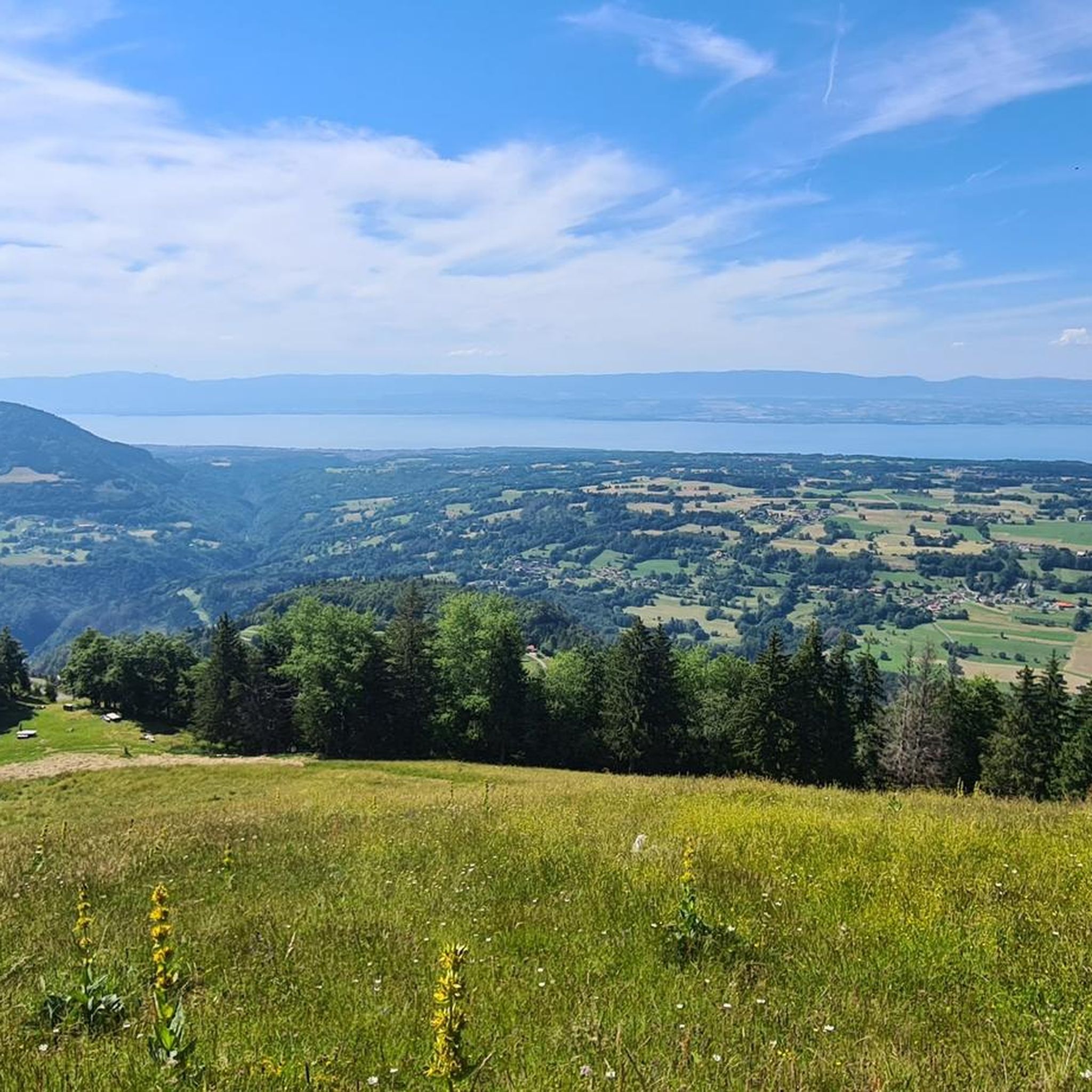
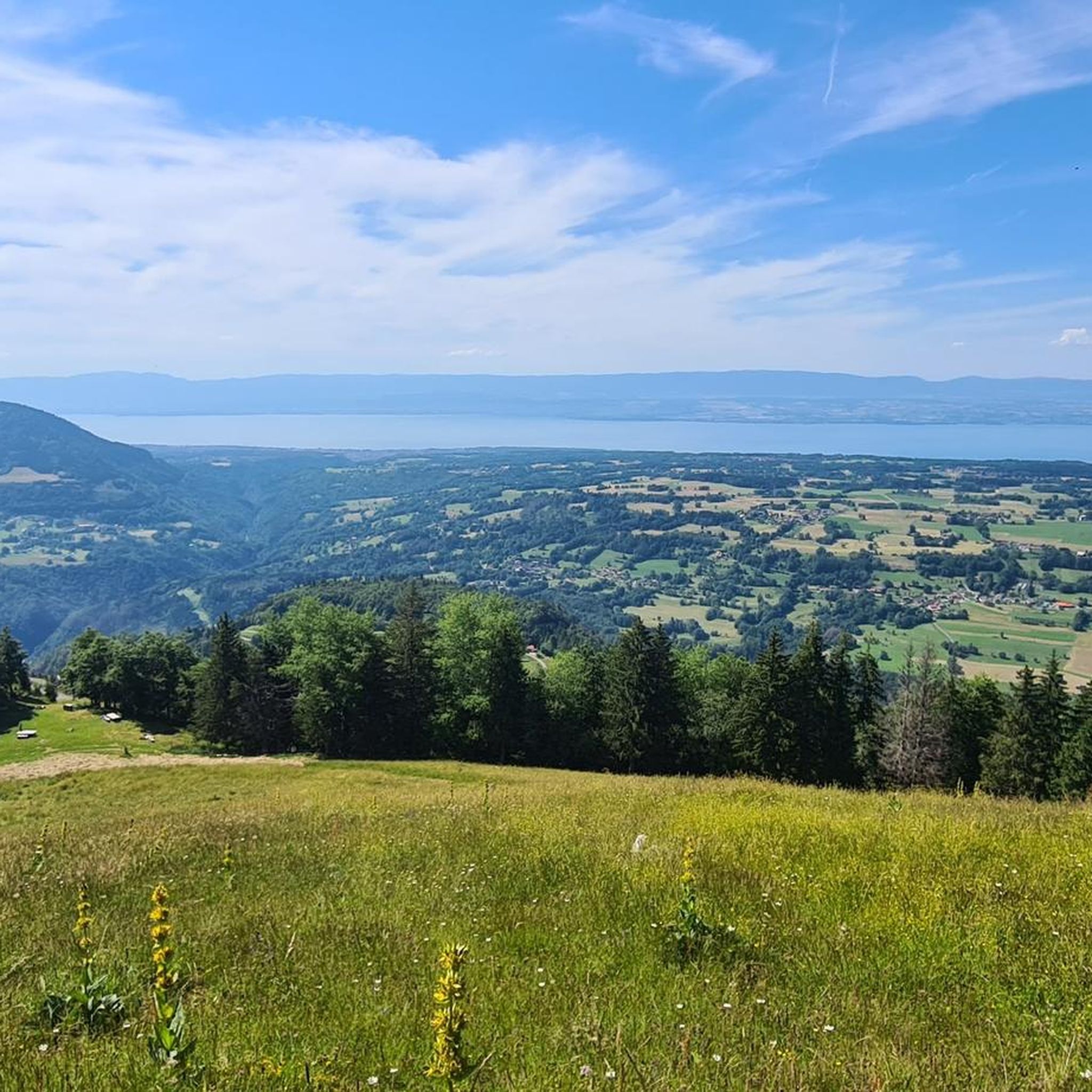
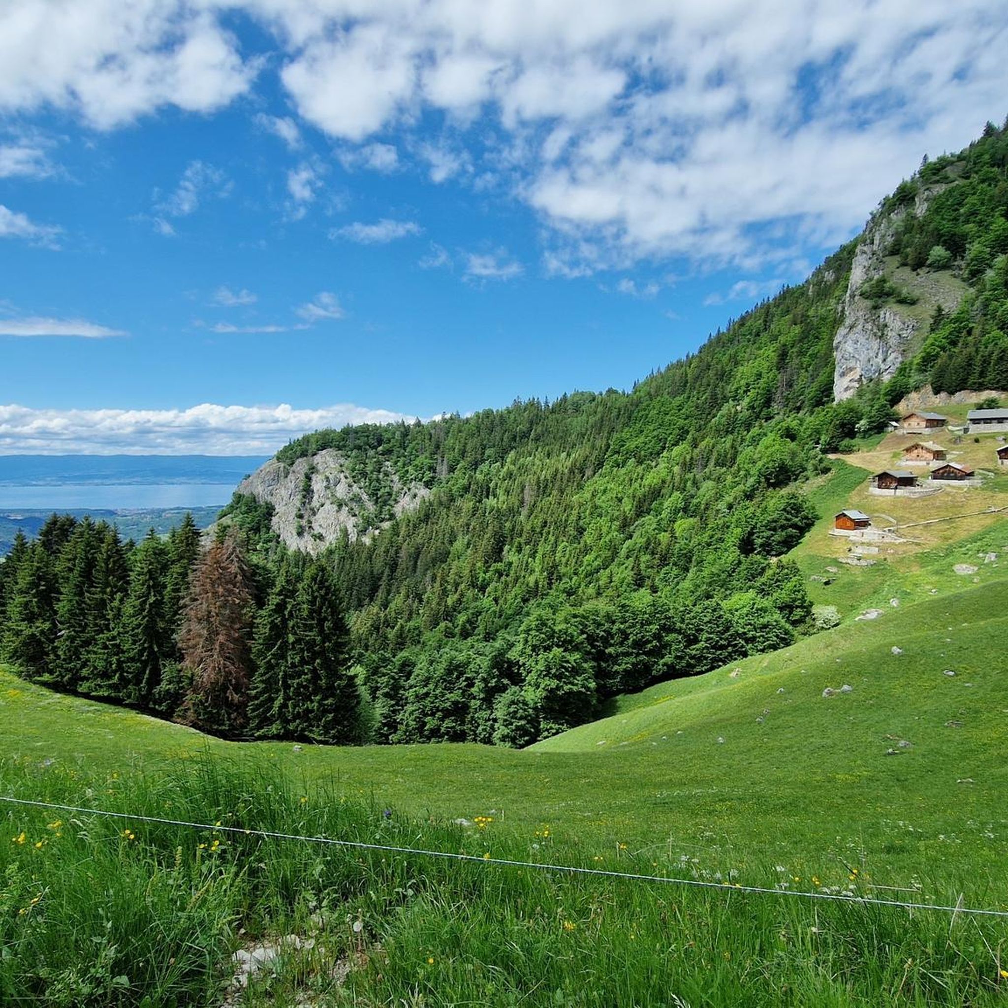
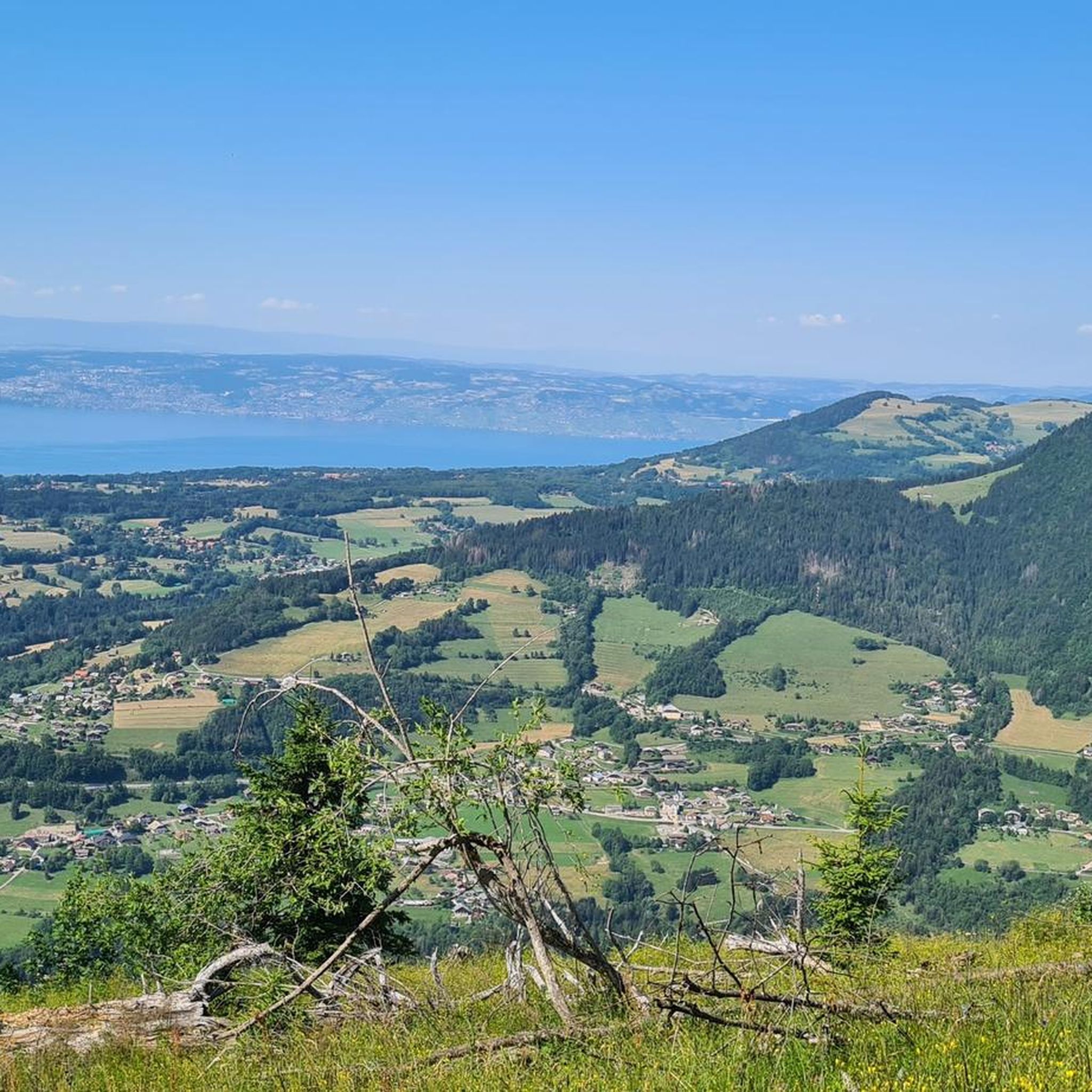
Hiking around La Forclaz offers diverse terrain characterized by panoramic views over valleys and surrounding mountains. The region features dense woodlands, alpine meadows, and significant mountain features. Trails often provide vistas of the Aulps Valley and access to natural landmarks. This area caters to a range of hiking abilities, from gentle paths to more challenging ascents.
Best hiking trails around La Forclaz
- The most popular hiking route is View from Pointe de Sangeon – View of the Aulps Valley loop from La Forclaz, a 3.7 miles (6.0 km) trail that takes 2 hours 27 minutes to complete. This moderate route offers expansive views of the Aulps Valley.
- Another top favourite among local hikers is The Gorges of Pont du Diable – Gorges du Pont du Diable loop from La Forclaz, a moderate 4.1 miles (6.6 km) path. This trail leads through the notable Gorges of Pont du Diable, taking approximately 2 hours 4 minutes.
- Local hikers also love the View of the Aulps Valley – View from Pointe de Sangeon loop from La Forclaz, a 2.9 miles (4.7 km) trail leading through varied terrain with views of the Aulps Valley, often completed in about 1 hour 56 minutes.
- Hiking around La Forclaz is defined by panoramic valley views, dense woodlands, and alpine meadows. The network offers options for different ability levels, from easy strolls to difficult mountain ascents.
- The routes in La Forclaz are highly rated by the komoot community with an average score of 4.5 stars from over 1600 reviews. More than 13000 hikers have used komoot to explore La Forclaz's varied terrain.
Last updated: October 12, 2026
4.8
(33)
175
hikers
Moderate hike. Good fitness required. Mostly accessible paths. Sure-footedness required.
1.6
(16)
55
hikers
Moderate hike. Good fitness required. Easily-accessible paths. Suitable for all skill levels.

4.2
(9)
101
hikers
Moderate hike. Good fitness required. Mostly accessible paths. Sure-footedness required.
4.9
(11)
124
hikers
Easy hike. Great for any fitness level. Easily-accessible paths. Suitable for all skill levels.
5.0
(12)
201
hikers
Easy hike. Great for any fitness level. Easily-accessible paths. Suitable for all skill levels.
Get access to more routes and recommendations from other explorers.
Already have an account?
Our route recommendations are based on thousands of hikes, rides, and runs completed by other people on komoot.
Start today with a free account
Your next adventure awaits.
Tips from the Community

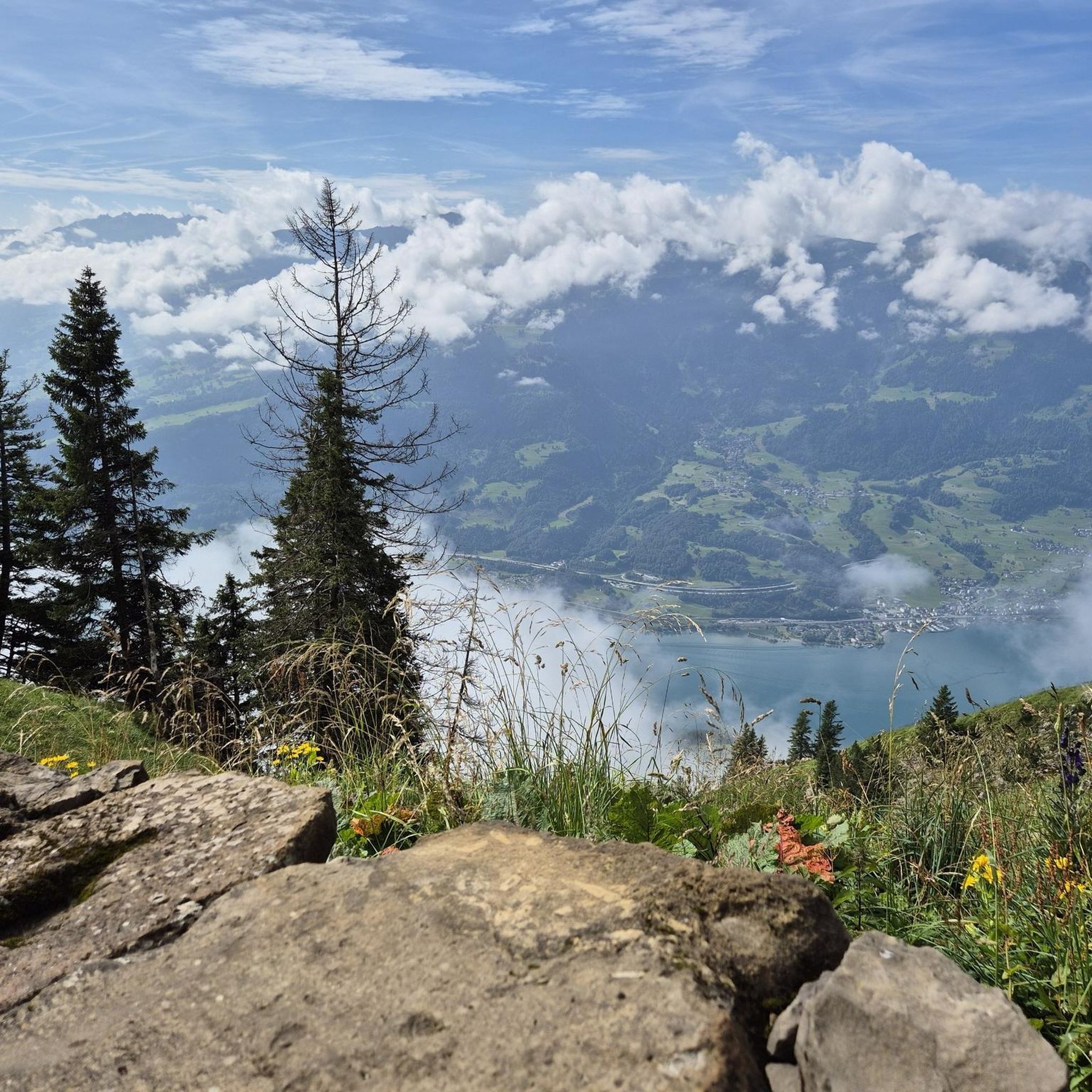
Pointe de Saugeon Very beautiful hike with magnificent panoramas of Lake Geneva and the surrounding mountains. The route offers a beautiful climb to the viewpoints, with a very pleasant alpine atmosphere. A superb outing to enjoy the landscapes of Chablais.
0
0
Excellent starting point for a hike. Convenient and free parking, with a magnificent viewpoint right next door offering a superb view of the valley and Lake Geneva. Ideal starting point for hikes towards Pointe de Sangeon and Pointe de Tréchauffé. Arriving early may be preferable during busy periods.
0
0

Nice Spot! Absolutely cyclitsapproved 🫵🫰
0
1

Loop made from the Trechauffe viewpoint, the Pointe de Trechauffe, the Poissât cow farm, the chalets... via the closed section because it is slippery... but passable for expert hikers equipped... beautiful walk.
0
0

First of all, the way down is definitely difficult for some people, as the steps vary greatly in height, and the way back down is also difficult due to their length and gradient. A truly beautiful gorge, with fantastic views and a lovely hiking trail. Unfortunately, the gorge is a bit pricey; we paid €76 for four adults and one child. For that, we were able to walk through the gorge for about an hour. You could also walk through this gorge several times without having to pay an extra fee.
1
0
A truly beautiful gorge, with fantastic views and a lovely hiking trail. Unfortunately, the gorge is a bit pricey; we paid €76 for four adults and one child. For that, we were able to walk through the gorge for about an hour. You could also walk through this gorge several times without paying any extra.
0
0

It's a beautiful gorge, but very short. At €18, it's overpriced in my opinion. A €12 entrance fee would have been sufficient. At the entrance, you descend steep metal stairs into the gorge. Surefootedness is required.
1
0
Frequently Asked Questions
How many hiking trails are available in La Forclaz?
La Forclaz offers a wide variety of hiking experiences, with over 240 routes available. These range from easy strolls to more challenging mountain ascents, catering to all skill levels.
What kind of views can I expect on hikes around La Forclaz?
The region is renowned for its magnificent panoramic views. Many trails offer expansive vistas over Lake Annecy and the surrounding mountains, including the Aulps Valley. You can also enjoy views of alpine meadows and dense woodlands.
Are there any easy or family-friendly hiking routes in La Forclaz?
Yes, La Forclaz has over 50 easy routes suitable for families and casual hikers. A gentle option is the "7 Fountains Loop" mentioned in regional information, or a short stroll to the paraglider launch area at Col de la Forclaz for unique views.
Are there any challenging hikes for experienced trekkers in La Forclaz?
For experienced hikers, La Forclaz offers over 60 difficult routes. Some areas feature challenging terrain with steep and karst descents, such as those found around The Vuargne Cross (Pic des Mémises Summit Cross). A demanding full-day trek is the 16 km hike to Pointe de Talamarche.
What natural features can I discover along the hiking trails?
Beyond the stunning mountain and lake views, you can explore diverse natural features. The region boasts flowering alpine meadows in summer and dense woodlands. The Gorges of Pont du Diable offer a unique natural spectacle, and the Cascade d'Angon is a beautiful waterfall in Haute-Savoie.
Are there circular hiking routes available in La Forclaz?
Yes, many routes in La Forclaz are circular. For example, the View from Pointe de Sangeon – View of the Aulps Valley loop is a popular moderate circular trail, as is the View of the Aulps Valley – View from Pointe de Sangeon loop.
What are some notable landmarks or attractions near the hiking trails?
Hikers can explore several interesting landmarks. You might encounter various mountain passes like Col du Corbier or Col du Feu. The region also features beautiful lakes such as Lake Beunaz and Jotty Lake and Dam.
What do other hikers enjoy most about hiking in La Forclaz?
The hiking routes in La Forclaz are highly rated by the komoot community, with an average score of 4.5 stars. Hikers often praise the panoramic valley views, the diverse terrain, and the well-maintained trails that offer options for all ability levels.
What is the best time of year to go hiking in La Forclaz?
The summer months are particularly popular, offering flowering alpine meadows and generally favorable weather for hiking. However, the region's diverse landscapes can be enjoyed throughout spring and autumn as well, with changing foliage adding to the scenic beauty.
Are there any amenities like cafes or restaurants along the trails or at trailheads?
Yes, the Col de la Forclaz, a popular starting point for many hikes, offers amenities such as picnic tables, refreshment bars, and restaurants, enhancing the hiking experience. You can also find places like At the Little Savoyard Restaurant, Très le Mont near some lake areas.
How long do hikes typically take in La Forclaz?
Hike durations vary significantly depending on the route and your pace. For instance, a moderate trail like the View from Pointe de Sangeon – View of the Aulps Valley loop typically takes around 2 hours 27 minutes, while more challenging routes can be full-day treks.
Is parking available at the trailheads in La Forclaz?
While specific parking details for every trailhead are not available, the presence of well-marked trails and popular starting points like Col de la Forclaz suggests that parking facilities are generally accessible to accommodate hikers in the region.
Most popular routes around La Forclaz
Most popular attractions around La Forclaz

Get inspired with the komoot mobile app


Explore more
Browse the best Hikes in other regions.
