The best mountain hikes around Seytroux
4.6
(16)
102
hikers
20
hikes
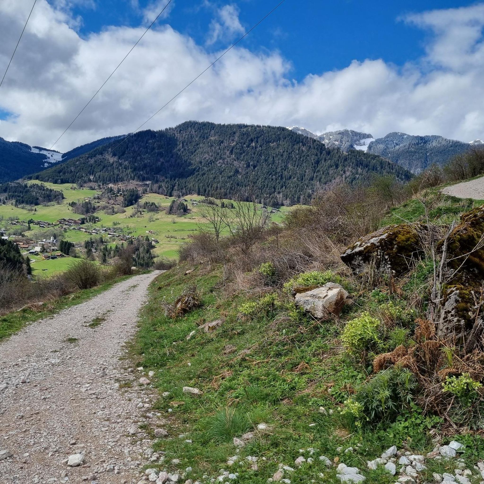
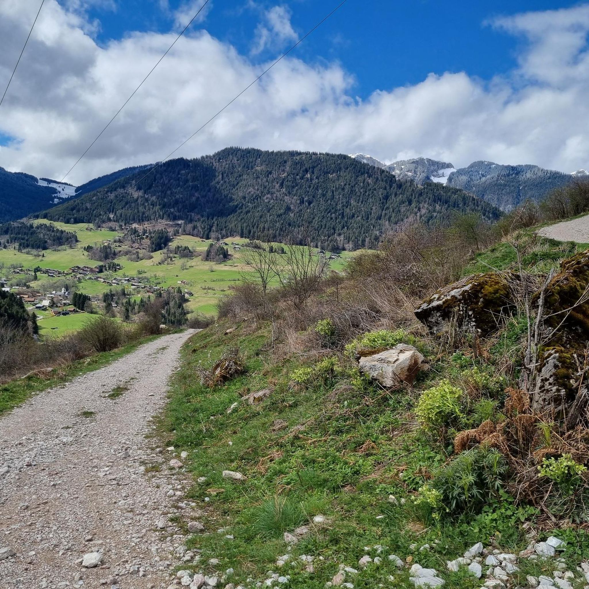
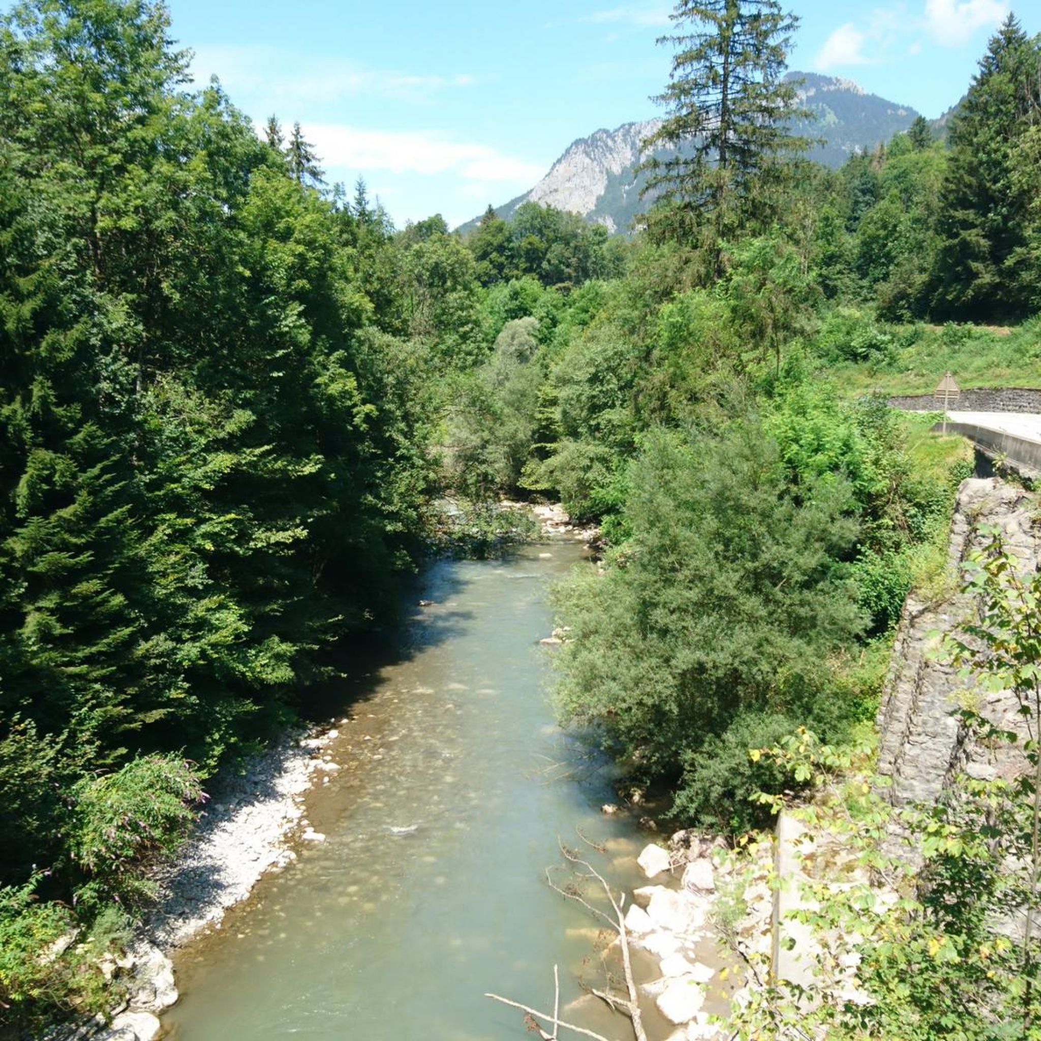
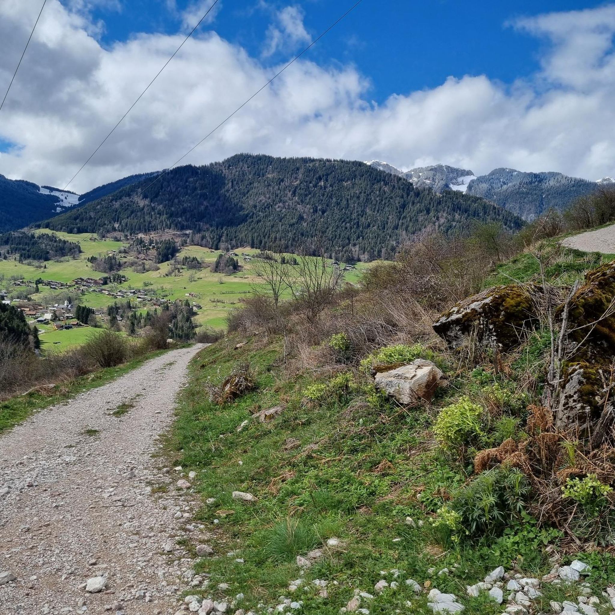
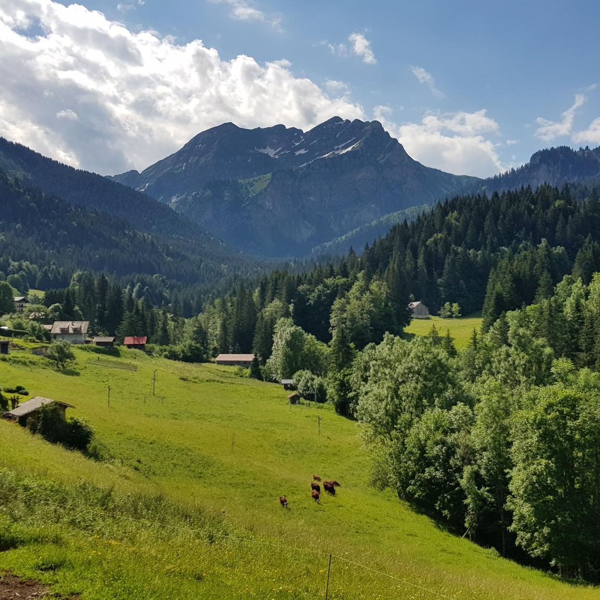
Mountaineering routes around Seytroux traverse the authentic Chablais landscapes of the French Alps. The region features a mix of mountain pastures, dense forests, and prominent peaks offering varied terrain. Routes often follow the contours of the Vallée d'Aulps, providing significant elevation gains and panoramic views. The area is characterized by its natural features, including the Pointe de la Gay and the Headland of the Balme, which rise above the valleys.
Best mountaineering routes around Seytroux
- The most popular mountaineering route is Pointe de Chalune – Col de Vésinaz loop from Praz de Lys Sommand, a 4.8 miles (7.7 km) trail that takes 2 hours 59 minutes to complete. This moderate route offers views of surrounding peaks and mountain pastures.
- Another top favourite among local mountaineers is Pointe de Chalune – Col de Foron loop from Les truites, a difficult 7.8 miles (12.6 km) path. This challenging route features significant elevation gain through alpine terrain.
- Local mountaineers also love the Col de Chalune loop from Praz de Lys Sommand, a 7.2 miles (11.6 km) trail leading through mountain forests and open pastures, often completed in about 3 hours 54 minutes.
- Mountaineering around Seytroux is defined by mountain pastures, dense forests, and prominent peaks. The network offers options for both moderate and difficult ability levels.
- The routes in Seytroux are highly rated by the komoot community with an average score of 4.8 stars from over 14 reviews. More than 110 mountaineers have used komoot to explore Seytroux's varied terrain.
Last updated: July 3, 2026
13
hikers
7.56km
02:58
530m
530m
Moderate mountaineering route. Good fitness required. Easily-accessible paths. Suitable for all skill levels.
5.0
(1)
10
hikers
12.5km
05:03
860m
860m
Hard mountaineering route. Very good fitness required. Mostly accessible paths. Sure-footedness required.

Sign up for free
4.3
(3)
14
hikers
13.0km
04:40
740m
740m
Moderate mountaineering route. Good fitness required. Easily-accessible paths. Suitable for all skill levels.
7
hikers
7.73km
04:09
810m
810m
Hard mountaineering route. Good fitness required. Sure-footedness, sturdy shoes and alpine experience required.
5.0
(1)
4
hikers
5.69km
01:53
260m
260m
Moderate mountaineering route. Great for any fitness level. Mostly accessible paths. Sure-footedness required.
Get access to more routes and recommendations from other explorers.
Sign up for free
Already have an account?
Our route recommendations are based on thousands of hikes, rides, and runs completed by other people on komoot.
Start today with a free account
Your next adventure awaits.
Login or Signup

Tips from the Community


A beautiful pass, with beautiful landscapes. It's a must to do in the summer when the road is closed to cars, so you can really enjoy this climb 😉
1
0

When you descend from Col de la Ramaz to Munes you will find yourself in a wonderfully beautiful hilly alpine meadow.
0
0

A difficult pass, but a magnificent view as a reward
0
0

As you climb the challenging Col de la Ramaz, you’ll be rewarded with breathtaking panoramic views of the surrounding mountains and valleys. This iconic climb, with its steep slopes and winding roads, is a must for any serious cyclist. As you push yourself to the limit, you’ll discover breathtaking views of snow-capped peaks, lush forests and picturesque villages.
1
0

Quite a tough col that is about 10 km long and has an average gradient of 6.5%
0
0
Nice pass to do outside July and August to avoid motorhomes and motorbikes, very calm in autumn and spring!
2
0

Frequently Asked Questions
How many mountaineering routes are available around Seytroux?
There are over 25 mountaineering routes around Seytroux, offering a diverse range of experiences through the authentic Chablais landscapes of the French Alps.
What types of landscapes can I expect on mountaineering routes near Seytroux?
Mountaineering routes around Seytroux traverse a mix of mountain pastures, dense forests, and prominent peaks. You'll experience the natural beauty of the Vallée d'Aulps, with opportunities for significant elevation gains and panoramic views of features like the Pointe de la Gay and the Headland of the Balme.
Are there any moderate mountaineering routes suitable for those with some experience?
Yes, Seytroux offers several moderate routes. For example, the Pointe de Chalune – Col de Vésinaz loop from Praz de Lys Sommand is a moderate 4.8-mile (7.7 km) trail that takes around 3 hours to complete, offering beautiful views of surrounding peaks and mountain pastures.
Where can I find more challenging mountaineering routes in Seytroux?
For a more challenging experience, consider the Pointe de Chalune – Col de Foron loop from Les truites. This difficult 7.8-mile (12.6 km) path features significant elevation gain through alpine terrain. Another demanding option is the Pointe de Savolaire – Pointe des Lanchettes loop from Prétairié, which covers 7.5 miles (12.1 km) with substantial elevation.
Are there any circular mountaineering routes around Seytroux?
Yes, many routes are circular. The Col de Chalune loop from Praz de Lys Sommand is a popular 7.2-mile (11.6 km) circular trail leading through mountain forests and open pastures. Another circular option is the Pointe de Ratti – Col de la Basse loop from Col de l'Encrenaz.
What are some notable peaks or viewpoints I can reach on a mountaineering trip?
The region boasts several impressive peaks and viewpoints. You can find routes that lead to panoramic spots like Mount Forchat, offering extensive views. The Ratti Pass (1,905 m) is another significant point of interest for mountaineers.
Are there any lakes or natural features to see near the mountaineering routes?
Absolutely. The area around Seytroux is rich with natural beauty, including several lakes. You might encounter stunning views of Lac de Montriond or Lac de Tavaneuse. The Chapelle Saint-Bruno also offers breathtaking panoramic views of Lac de Vallon and its surrounding mountains.
What do other mountaineers say about the routes in Seytroux?
The mountaineering routes in Seytroux are highly rated by the komoot community, with an average score of 4.8 stars from over 14 reviews. Users often praise the authentic Chablais landscapes, the varied terrain, and the stunning panoramic views from prominent peaks.
What is the best time of year for mountaineering in Seytroux?
The French Alps around Seytroux offer excellent conditions for mountaineering during the warmer months, typically from late spring to early autumn, when trails are clear of snow. However, some routes, like those around the Headland of the Balme, are also suitable for pleasant walks in winter, often with snowshoes.
Are there any places to eat or rest near the mountaineering trails?
While the focus is on the natural environment, you might find options in nearby villages. For example, At the Little Savoyard Restaurant, Très le Mont is one such spot that could be convenient depending on your chosen route.
What kind of wildlife might I encounter on the trails?
The forests and mountain pastures of the Vallée d'Aulps, particularly along routes like the Crêtes de Seytroux, are home to various wildlife. Hikers often have the chance to spot animals such as roe deer and chamois in their natural habitat.
Most popular routes around Seytroux
Most popular attractions around Seytroux

Get inspired with the komoot mobile app


Explore more
Browse the best Mountain Hikes & Routes in other regions.
