The best road cycling routes around Blankenstein
4.6
(118)
1,251
riders
148
rides
Road cycling around Blankenstein offers diverse landscapes, characterized by river valleys, extensive forests, and the low mountain range topography of the Thuringian Forest. The region is situated at the confluence of the Selbitz and Saale rivers, providing scenic routes along the Saale valley. Cyclists can navigate varied terrain, from the well-maintained paths of the Saale Cycle Path to more challenging routes that traverse the hilly areas near the Rennsteig.
Best road cycling routes around Blankenstein
- The most popular road cycling…
Last updated: September 30, 2026
5.0
(4)
27
riders
26.4km
01:23
220m
220m
Moderate road ride. Great for any fitness level. Some segments of this route may be unpaved and difficult to ride.
4.6
(5)
23
riders
Moderate road ride. Good fitness required. Some segments of this route may be unpaved and difficult to ride.

15
riders
122km
05:24
1,140m
1,140m
Hard road ride. Very good fitness required. Some segments of this route may be unpaved and difficult to ride.
5.0
(1)
12
riders
69.3km
03:29
1,020m
1,020m
Hard road ride. Very good fitness required. Mostly well-paved surfaces and easy to ride.
4.8
(4)
13
riders
17.9km
00:55
260m
260m
Moderate road ride. Great for any fitness level. Some segments of this route may be unpaved and difficult to ride.
Get access to more routes and recommendations from other explorers.
Already have an account?
Our route recommendations are based on thousands of hikes, rides, and runs completed by other people on komoot.
Start today with a free account
Your next adventure awaits.
Popular around Blankenstein
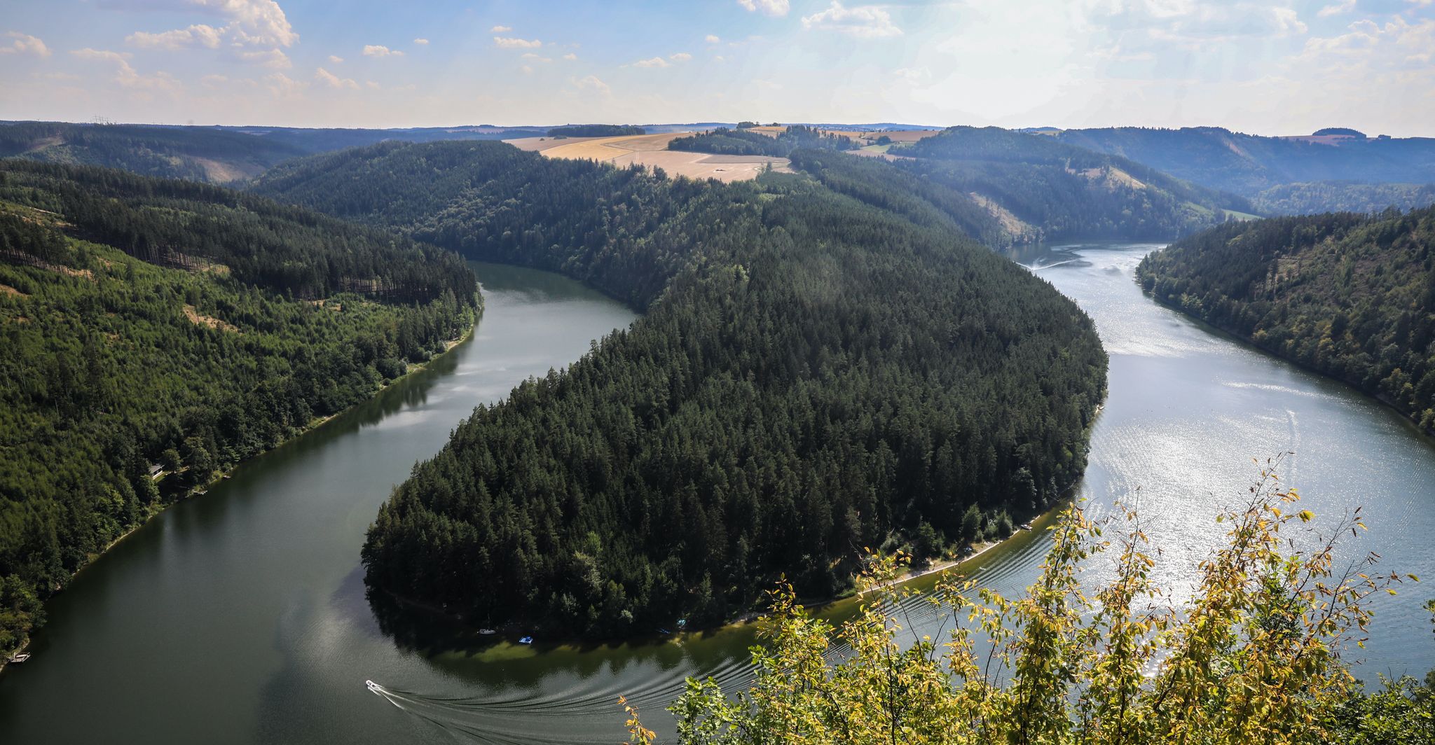
Saale Cycle Path part 1 – four sporty stages through the Thuringian Forest
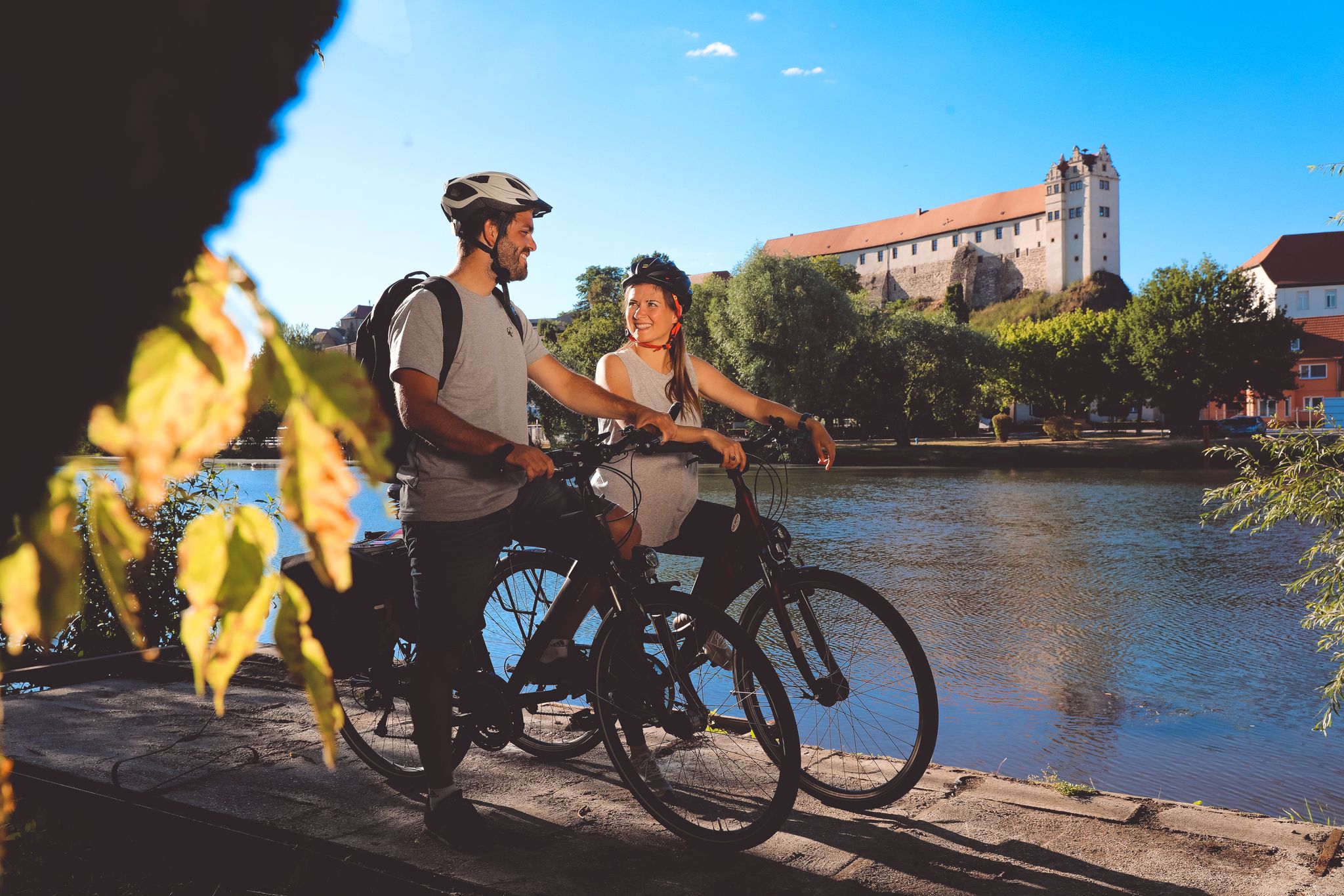
Saale Cycle Path — 9 stages from the source of the Saale to the Elbe
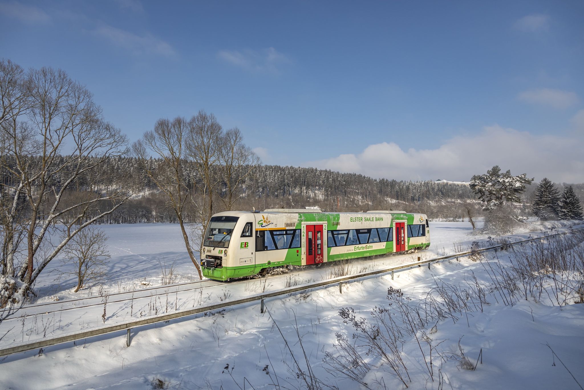
Discover Thuringia – winter hiking with the Erfurter Bahn
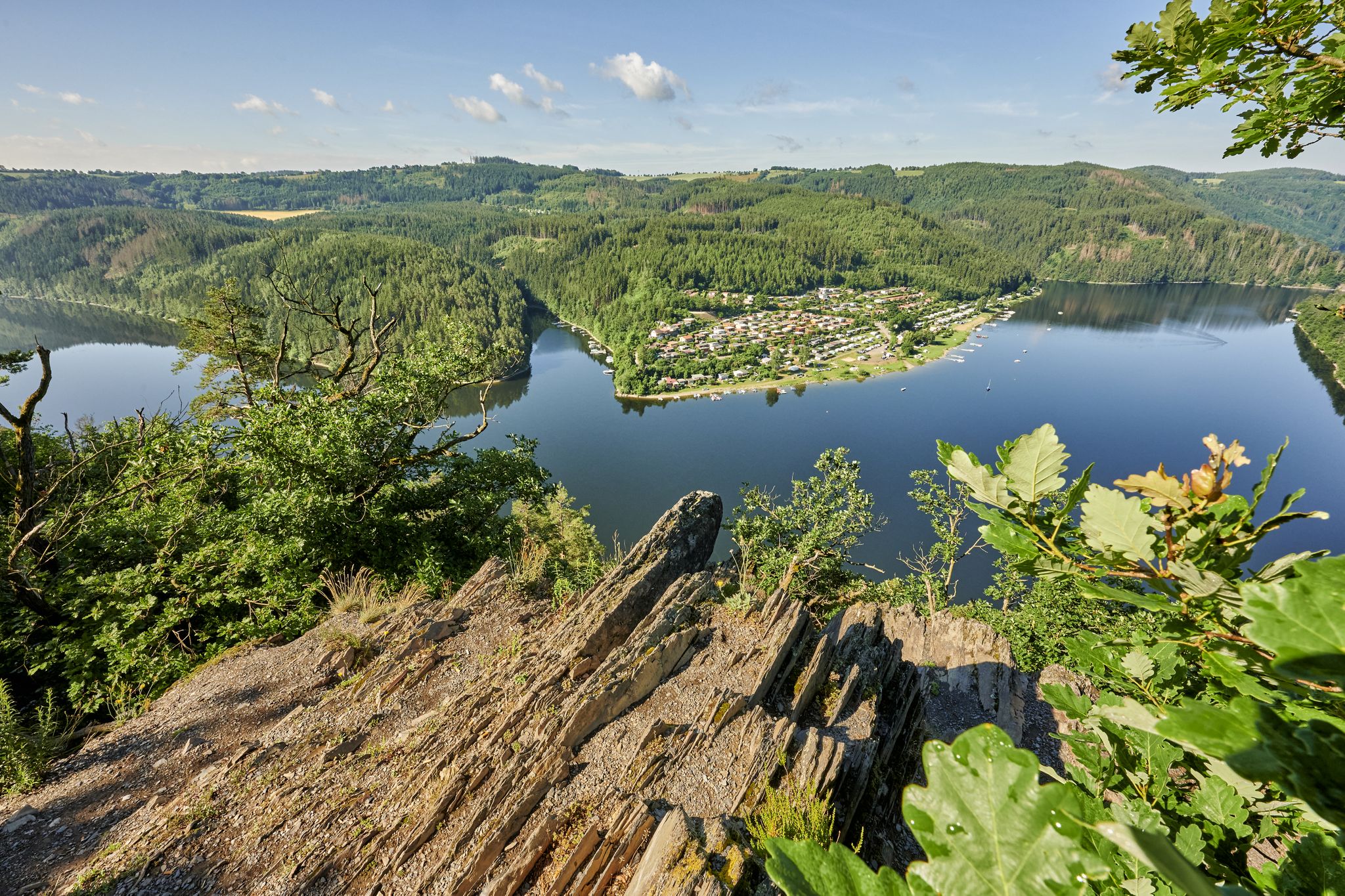
Pedalling with a view of castles – the Saale Cycle Route in Thuringia
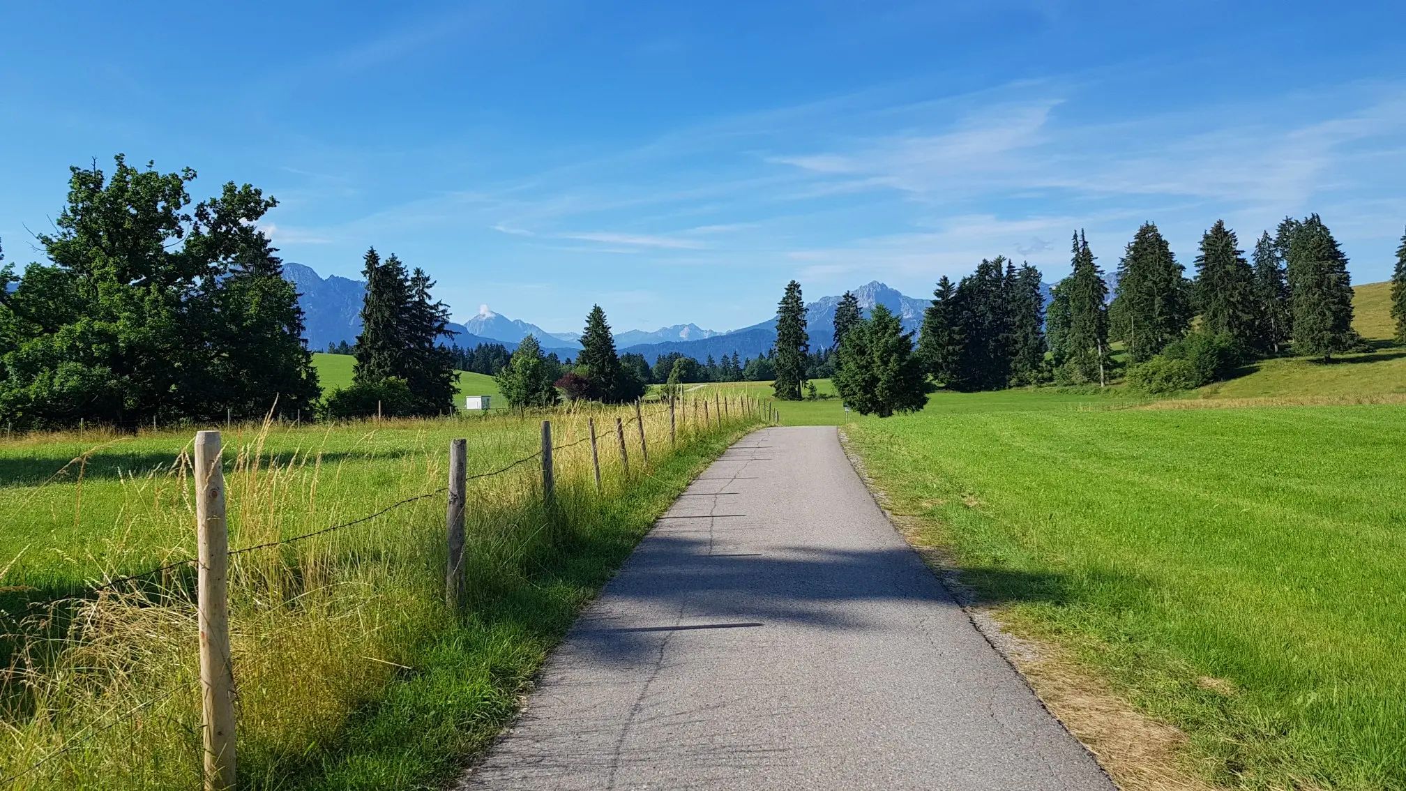
Transbavaria – north to south across Bavaria
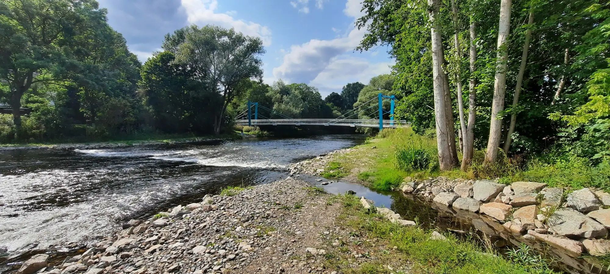
D-Route 11 – Baltic Sea - Upper Bavaria

The Franconian Trail – A Diverse Hiking Dream Across 24 Stages
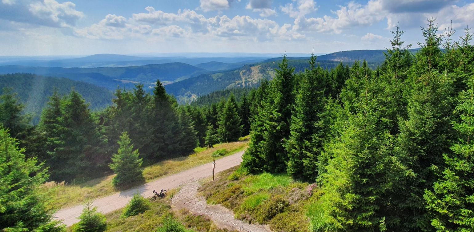
MTB through the middle of Germany — three days on the Rennsteig
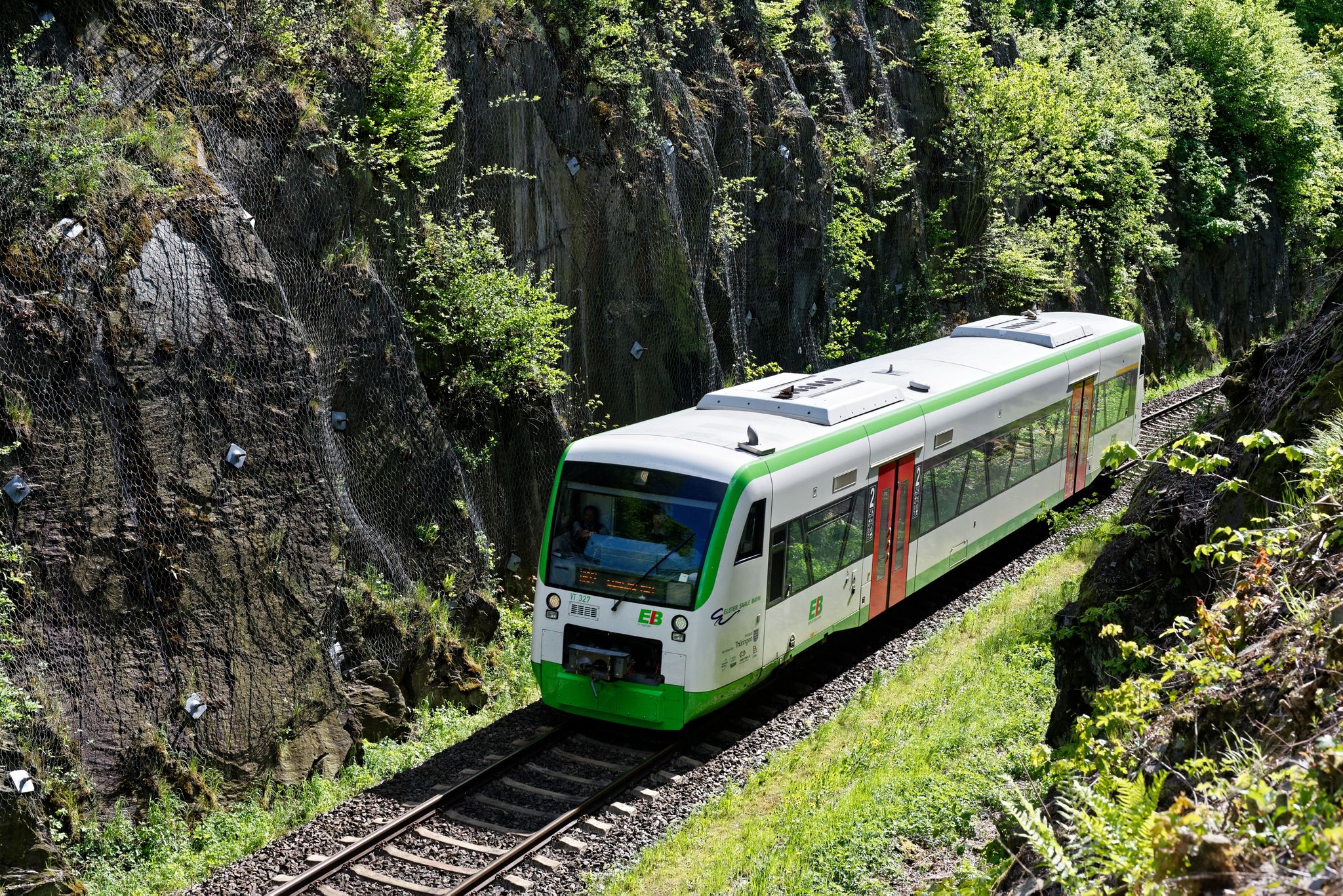
Nächster Halt: Natur – Wandern mit der Erfurter Bahn
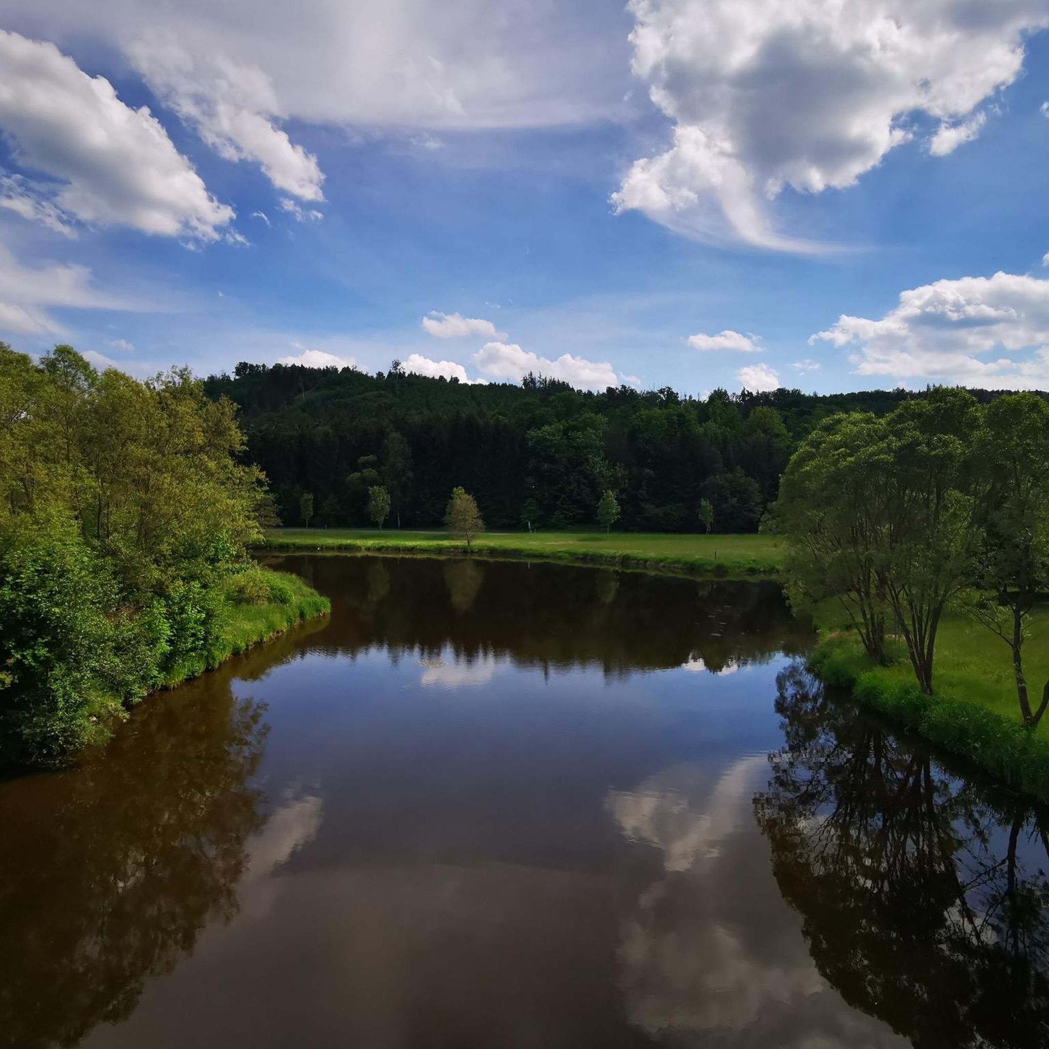
Hiking around Blankenstein
Other adventures around Blankenstein


Tips from the Community

The diabase quarry at Steinbühl is a well-known old quarry lake near Naila in Upper Franconia (Bavaria). Swimming in the quarry lake is not permitted or is not suitable. The lake is Station 2 of the approximately 7-kilometer long Geopfad Naila, which offers insights into the regional geology (diabase, picrite rocks, and diabase breccias).
2
0
Formerly part of the Naila–Schwarzenbach railway line; the route was converted into a cycle and hiking path
1
0
Dams are built to utilize water for hydropower plants, to keep the water level constant for fish or shipping, or to prevent floods.
1
0
The Plassenburg is an imposing fortress and castle complex above the Upper Franconian town of Kulmbach. It is one of the most significant Renaissance structures in Germany and is the region's most striking landmark. It serves as a visual orientation point and an architectural highlight of the landscape.
1
0
Offers an opportunity for a break and regeneration along the route.
1
0
Serves as a distinctive starting point and landmark for hiking and cycling routes through the Höllental. Refers to regional folk legends surrounding the Höllental and the nearby Teufelssteg over the Selbitz.
1
0

The Steinerne Rennsteig hiker’s monument at the Blankenstein train station on the Rennsteig honors the tourist development of the famous ridge trail. It significantly commemorates August Trinius – the writer who first described the Rennsteig in a continuous hiking report in 1890, as well as the Rennsteigverein.
2
0

This old quarry impressed me a lot.
2
0
Frequently Asked Questions
How many road cycling routes are available around Blankenstein?
Blankenstein offers a wide selection of road cycling routes, with over 150 tours available. These routes cater to various skill levels, ranging from easy to difficult, allowing cyclists to explore the diverse landscapes of the Thuringian Forest and Saale valley.
What kind of terrain can I expect on road cycling routes in Blankenstein?
The terrain around Blankenstein is quite varied. You'll find well-maintained, often asphalted paths along river valleys, such as sections of the Saale Cycle Path. However, given its proximity to the Rennsteig and the Thuringian Forest, many routes also feature hilly sections with significant elevation changes, offering a good challenge for experienced cyclists.
Are there any easy road cycling routes suitable for beginners or a relaxed ride?
Yes, Blankenstein offers several easy road cycling routes. For a more relaxed experience, consider routes with less elevation gain. An example is the Adelskammer Inn – Luther Church, Bad Steben loop from Lichtenberg, which is rated as easy and covers about 11.4 miles (18.3 km).
What are some challenging road cycling routes for experienced riders?
For experienced riders seeking a challenge, Blankenstein has numerous difficult routes. These often involve significant elevation changes as they traverse the low mountain range landscape. An example of a more demanding route is the Market Square Bad Lobenstein – Frankenwald High Road loop from Harra, which covers over 50 miles (80 km) with substantial climbing.
What natural features and landmarks can I see along the road cycling routes?
Road cycling routes around Blankenstein offer views of the Saale River and its picturesque valley, as well as the dense forests of the Thuringian Forest and Frankenwald. You can also encounter historical sites and unique natural formations. Notable attractions include the Jungfernsteg, a covered wooden bridge, and the scenic Höllental (Hell Valley). Some routes also pass by the impressive Bleilochtalsperre, Germany's largest artificial lake.
Are there any loop routes for road cycling in Blankenstein?
Many road cycling routes in Blankenstein are designed as loops, allowing you to start and end at the same point. For instance, the Steinbühl Quarry Lake – Rennsteig Hiker Monument loop from Blankenstein (Saale) is a popular moderate loop that connects a quarry lake with a monument on the historic Rennsteig.
What do other cyclists say about road cycling in Blankenstein?
The road cycling routes in Blankenstein are highly regarded by the komoot community, with an average rating of 4.6 out of 5 stars from over 100 reviews. Cyclists frequently praise the diverse landscapes, the well-maintained paths, and the variety of routes suitable for different fitness levels.
Is Blankenstein a good destination for road cycling with family?
Yes, Blankenstein can be suitable for family road cycling, especially on the easier, flatter sections of routes like the Saale Cycle Path. These paths are often asphalted and car-free, providing a safer and more enjoyable experience for families. Always check the route's difficulty and elevation profile to ensure it matches your family's capabilities.
What is the best season for road cycling in Blankenstein?
The best season for road cycling in Blankenstein is typically from spring through autumn (April to October). During these months, the weather is generally mild, and the natural scenery is at its most vibrant. Summer offers longer daylight hours, while spring and autumn provide pleasant temperatures and beautiful foliage. Winter cycling can be challenging due to colder temperatures and potential snow or ice, especially in higher elevations.
Are there places to eat or stay for cyclists in Blankenstein?
Blankenstein and the surrounding towns along the Saale valley and near the Rennsteig offer various options for accommodation and dining. You can find guesthouses, hotels, and restaurants catering to travelers and outdoor enthusiasts. Many routes pass through or near villages where you can stop for refreshments.
Where can I park my car when starting a road cycling tour in Blankenstein?
Parking is generally available in Blankenstein and the nearby towns. Look for designated parking areas, especially near popular trailheads or tourist information centers. It's advisable to check local signage for any parking restrictions or fees.
Can I reach Blankenstein by public transport to start a cycling tour?
Blankenstein is accessible by public transport, which can be a convenient option for starting or ending a cycling tour, especially if you're planning a one-way trip along a long-distance route like the Saale Cycle Path. Regional buses and trains connect Blankenstein to larger towns in Thuringia and Bavaria. Always check schedules and bike transport policies with the specific public transport providers.
Most popular routes around Blankenstein
Most popular attractions around Blankenstein

Get inspired with the komoot mobile app


Explore more
Browse the best Road cycling routes in other regions.
