The best running trails around Neuvillette-En-Charnie
4.4
(13)
812
runners
30
runs
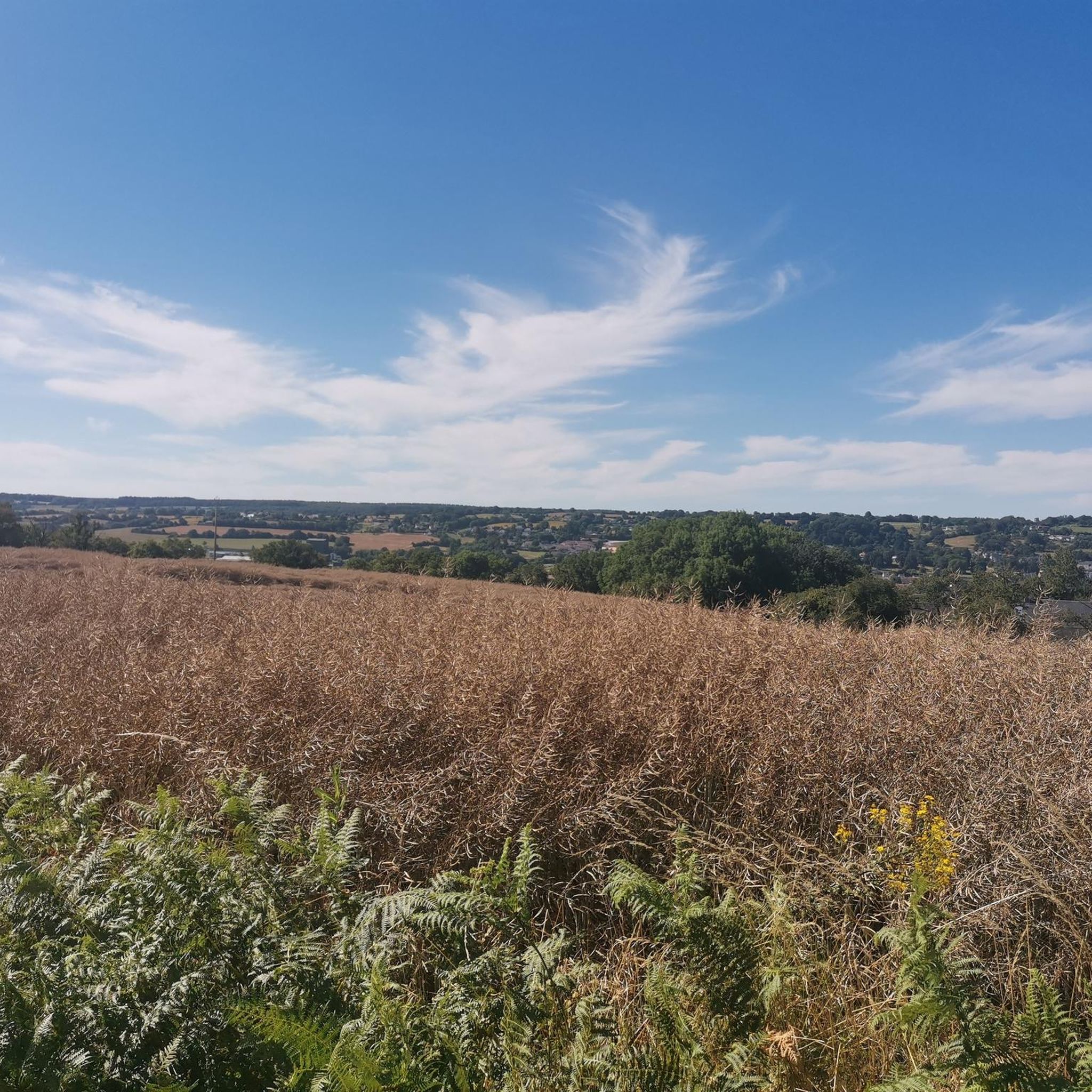
Jogging around Neuvillette-En-Charnie offers access to diverse natural landscapes, primarily characterized by extensive woodlands. The region features the Forêt de la Grande Charnie and the Forêt Domaniale de la Petite Charnie, providing numerous trails through both deciduous and coniferous trees. The terrain includes hilly sections, particularly in the northern part, with elevations like the Signal des Viviers at 290 meters offering varied running conditions. These natural features create a network of paths suitable for different levels of running experience.
Best…
Last updated: July 4, 2026
4.0
(2)
99
runners
22.0km
02:42
420m
420m
Hard run. Very good fitness required. Mostly paved surfaces. Suitable for all skill levels.
4.0
(2)
24
runners
8.48km
00:53
90m
90m
Moderate run. Good fitness required. Mostly paved surfaces. Suitable for all skill levels.

Sign up for free
4.0
(2)
21
runners
7.30km
00:46
70m
70m
Moderate run. Good fitness required. Mostly paved surfaces. Suitable for all skill levels.
5.0
(1)
7
runners
8.00km
00:53
110m
110m
Moderate run. Good fitness required. Mostly paved surfaces. Suitable for all skill levels.
7
runners
15.7km
01:47
160m
160m
Hard run. Very good fitness required. Mostly paved surfaces. Suitable for all skill levels.
Get access to more routes and recommendations from other explorers.
Sign up for free
Already have an account?
Our route recommendations are based on thousands of hikes, rides, and runs completed by other people on komoot.
Start today with a free account
Your next adventure awaits.
Login or Signup


Tips from the Community


The race from the city to see the castle of Sainte-Suzanne is well worth the effort and your just reward is this magnificent view.
2
0
The castle of Sainte-Suzanne dates from the 11th century and holds the record of being the only stronghold that William the Conqueror could not defeat.
2
0
The hike from town to see the Chateau de Sainte-Suzanne is well worth the effort and your just reward is that magnificent view.
2
0
This dolmen is a curiosity. Balanced on a much larger boulder, the top slab rests on a smaller boulder - but was it man-made or nature-placed there?
2
0

Good views from the opposite mountain
0
0

Magnificent complex with its weathered, towering walls.
2
0

The whole old town with the castle is a highlight!
2
0
Frequently Asked Questions
How many running routes are available in Neuvillette-en-Charnie?
There are over 25 dedicated running routes around Neuvillette-en-Charnie, offering a variety of distances and difficulty levels. These routes primarily traverse the extensive woodlands of the Forêt de la Grande Charnie and Forêt Domaniale de la Petite Charnie.
What kind of terrain can I expect on the running trails?
The running trails in Neuvillette-en-Charnie feature a diverse terrain, predominantly through dense woodlands with both deciduous and coniferous trees. You'll encounter hilly sections, especially in the northern part of the Charnie area, including elevations like the Signal des Viviers. Some routes may also follow watercourses, adding to the scenic variety.
Are there any easy running routes suitable for beginners?
While there are no routes specifically classified as 'easy', many of the 22 moderate routes are suitable for runners looking for a consistent experience without extreme challenges. For example, the Running loop from Valifer is a moderate 7.3 km trail that takes about 45 minutes to complete.
What are the more challenging running options in the area?
For those seeking a greater challenge, Neuvillette-en-Charnie offers 3 difficult running routes. A notable option is the Small pond loop from Saint-Symphorien, a 15.7 km trail with significant elevation gain, typically completed in about 1 hour 47 minutes. The hilly relief of the region, including the Signal des Viviers, contributes to these more demanding runs.
Are there any circular running routes?
Yes, many of the running routes in Neuvillette-en-Charnie are designed as loops, allowing you to start and finish at the same point. Examples include the popular Running loop from Faucheries, a 7.7 km path with varied terrain, and the Small pond – Large Pond loop from La Grande Maison, which covers 12.8 km.
Can I bring my dog on the running trails?
The forests and natural areas around Neuvillette-en-Charnie are generally dog-friendly. However, it's always recommended to keep your dog on a leash, especially in areas with wildlife or near private property, and to check for any specific local regulations or signage along the trails.
Are there any family-friendly running routes?
For families looking for a pleasant run, routes with moderate distances and less challenging elevation are ideal. The numerous forest paths offer shaded and relatively safe environments. Consider shorter loops like the Running loop from Valifer, which is 7.3 km and offers a consistent running experience.
Where can I park when visiting the running trails?
Parking is generally available near the entry points of the larger forest areas like the Forêt de la Grande Charnie and Forêt Domaniale de la Petite Charnie. Specific parking information for individual routes can often be found on their respective komoot pages.
What can I see along the running routes or nearby?
Beyond the natural beauty of the forests, you can explore several points of interest. The region is close to historical sites such as Sainte-Suzanne Castle, an 11th-century castle in a 'Most Beautiful Village' of France. Other attractions include the Le Tertre Ganne — Scenic viewpoint overlooking Sainte-Suzanne, and the Chapel of the Croix Lamare.
What do other runners enjoy the most about jogging in Neuvillette-en-Charnie?
The running routes in Neuvillette-en-Charnie are highly rated by the komoot community, with an average score of 4.4 stars from 7 reviews. Runners often praise the diverse natural landscapes, the extensive network of forest trails, and the varied terrain that caters to different fitness levels.
Are there any routes that pass by lakes or ponds?
Yes, some routes incorporate the region's water features. For instance, the Small pond – Large Pond loop from Les Petites Joisières is an 11.5 km moderate route that will take you past these scenic water bodies, offering a refreshing change of scenery during your run.
Most popular routes around Neuvillette-En-Charnie
Most popular attractions around Neuvillette-En-Charnie

Get inspired with the komoot mobile app


Explore more
Browse the best Running Trails & Routes in other regions.
