The best walks and hikes around Blaibach
4.6
(885)
2,810
hikers
61
hikes
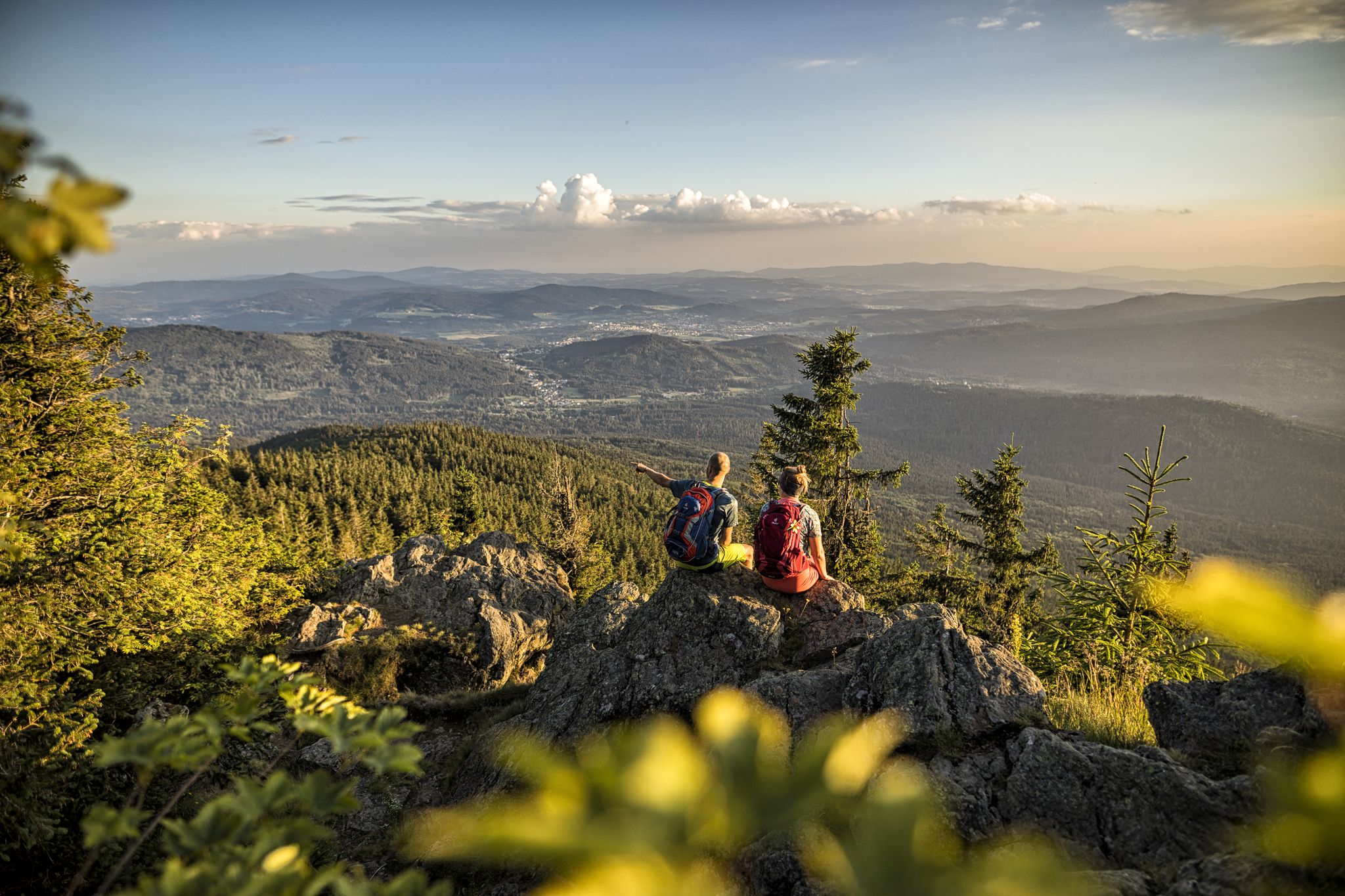
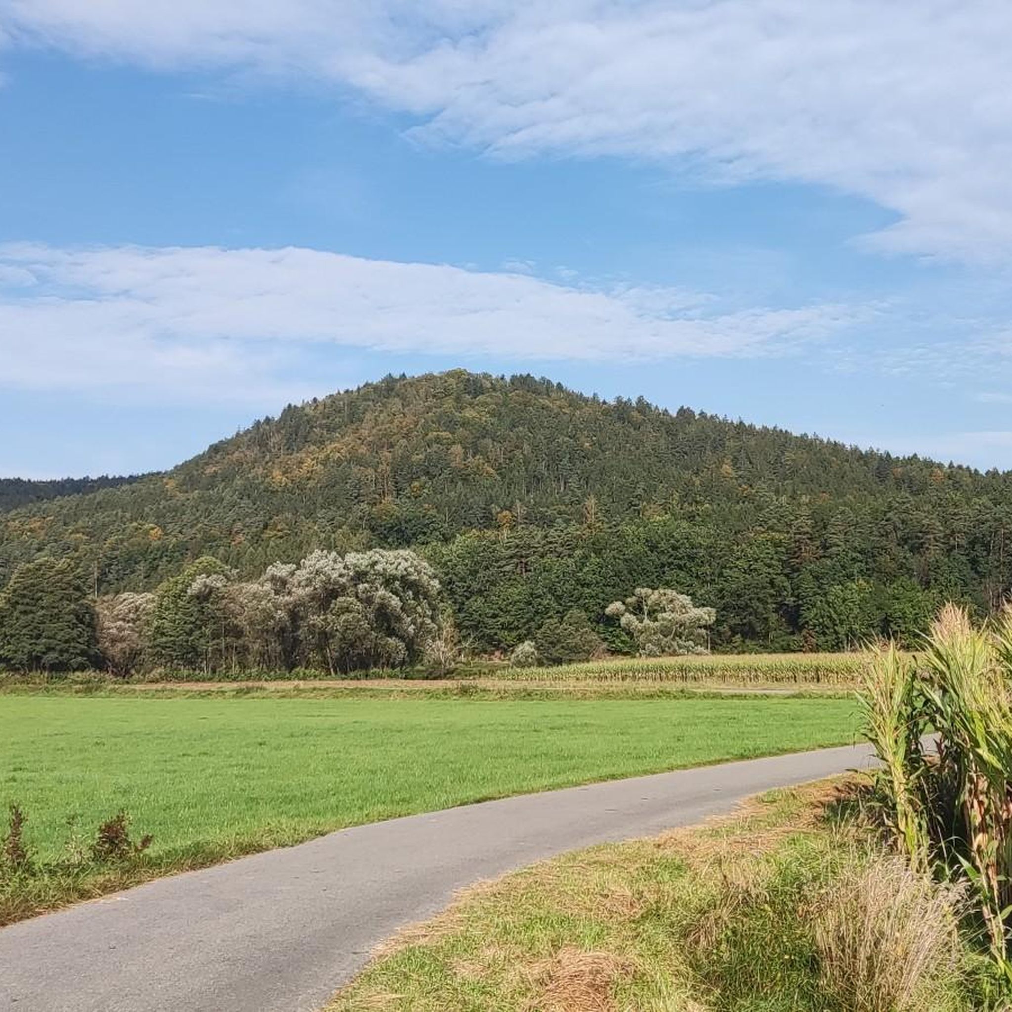
Hiking around Blaibach offers access to the Bavarian Forest, a region characterized by dense woodlands and rolling hills. The landscape is shaped by water bodies such as the Regen River and Blaibacher Lake, providing varied scenery for outdoor activities. Elevations like Kreuzfelsen and Käsplatte Summit offer panoramic views of the surrounding area. The network of trails caters to different fitness levels, from riverside paths to more challenging ascents.
Best hiking trails around Blaibach
- The most popular hiking route is Rundweg…
Last updated: October 9, 2026
4.6
(28)
67
hikers
15.0km
04:26
440m
440m
Moderate hike. Good fitness required. Easily-accessible paths. Suitable for all skill levels.
4.6
(284)
843
hikers
12.3km
03:17
150m
150m
Moderate hike. Good fitness required. Easily-accessible paths. Suitable for all skill levels.

4.5
(114)
341
hikers
8.97km
02:27
140m
140m
Moderate hike. Good fitness required. Easily-accessible paths. Suitable for all skill levels.
4.7
(95)
254
hikers
10.1km
03:05
320m
320m
Moderate hike. Good fitness required. Easily-accessible paths. Suitable for all skill levels.
4.7
(61)
177
hikers
5.45km
01:26
40m
40m
Easy hike. Great for any fitness level. Easily-accessible paths. Suitable for all skill levels.
Get access to more routes and recommendations from other explorers.
Already have an account?
Our route recommendations are based on thousands of hikes, rides, and runs completed by other people on komoot.
Start today with a free account
Your next adventure awaits.

Other adventures around Blaibach

Tips from the Community

Always worth a visit, super highlight.
0
0

How do fish get over a six-meter-high dam? There are stairs for them too! A fish ladder of this kind was built at Blaibacher See. To overcome the height difference of six meters between Blaibacher See and the lower course, 46 small step pools had to be arranged one after another. A height difference of 15 centimeters is overcome per pool. The fish migration aid at the Pulling power plant has an exceptional pilot character for all of Bavaria, as the structure is considered a so-called large dam with a storage volume greater than one million cubic meters, whose 150-meter-long dam is now crossed by the fish ladder. The Schwarzer Regen is broken up over a length of 59 km by a total of 14 cross structures.
1
0
Here is a stage of the boat hike on the Regen river. The day stage is 22 km long and leads from the Blaibacher See in the Kötztinger Land to the district town of Cham in the land of rainbows. From the Pulling power plant (near Blaibach), the Regen has been developed into a European river hiking trail, i.e. there are camping facilities on the river approximately every 20 km (one overnight stay allowed). In some places, very basic toilets are also available.
1
0

Here the path leads through houses, across a meadow into the forest. It's not directly on the water, but it's very beautiful.
0
0

Next to the mini-golf, a nice kiosk with plenty of outdoor seating. I even got a bowl of water for the dog 😉
0
0

Very beautiful lake, nestled in a narrow valley. The stairs at the dam are only suitable for pedestrians... Cyclists must take the hiking trail above the inn to the river, then an easy-to-ride path leads to the Blaibacher See.
0
0

Here is more interesting information about the linden tree: https://de.wikipedia.org/wiki/Wolframslinde
1
0
Frequently Asked Questions
How many hiking trails are available around Blaibach?
There are over 60 hiking trails around Blaibach, offering a wide range of options for different fitness levels. You'll find everything from easy riverside strolls to more challenging ascents into the hills of the Bavarian Forest.
What kind of natural features can I expect to see on hikes near Blaibach?
Hikes around Blaibach are characterized by dense woodlands, rolling hills, and scenic routes along the Regen River and Blaibacher Lake. You can also encounter significant elevations like Kreuzfelsen and Käsplatte Summit, which offer panoramic views. The region is part of the Bavarian Forest, providing a lush and extensive natural backdrop.
Are there any family-friendly hiking trails in Blaibach?
Yes, Blaibach offers several easy hiking options suitable for families. For instance, there's a playful family hiking trail around the Arraching district. Many of the trails around Blaibacher Lake and along the Regen River are also gentle and enjoyable for all ages, with over 30 easy routes available in the area.
Can I bring my dog on the hiking trails around Blaibach?
Most hiking trails around Blaibach are dog-friendly, allowing you to enjoy the natural beauty with your canine companion. It's always recommended to keep dogs on a leash, especially in nature reserves or areas with wildlife, and to respect local regulations.
Are there circular hiking routes available in Blaibach?
Yes, Blaibach is an excellent area for circular hikes. Popular options include the scenic Lake Blaibach – Lake Blaibach loop from Blaibach, which circles the lake, and the Lake Blaibach – White Regen River loop from Blaibach, which combines lakeside and riverside landscapes.
What are some notable landmarks or viewpoints to discover on hikes?
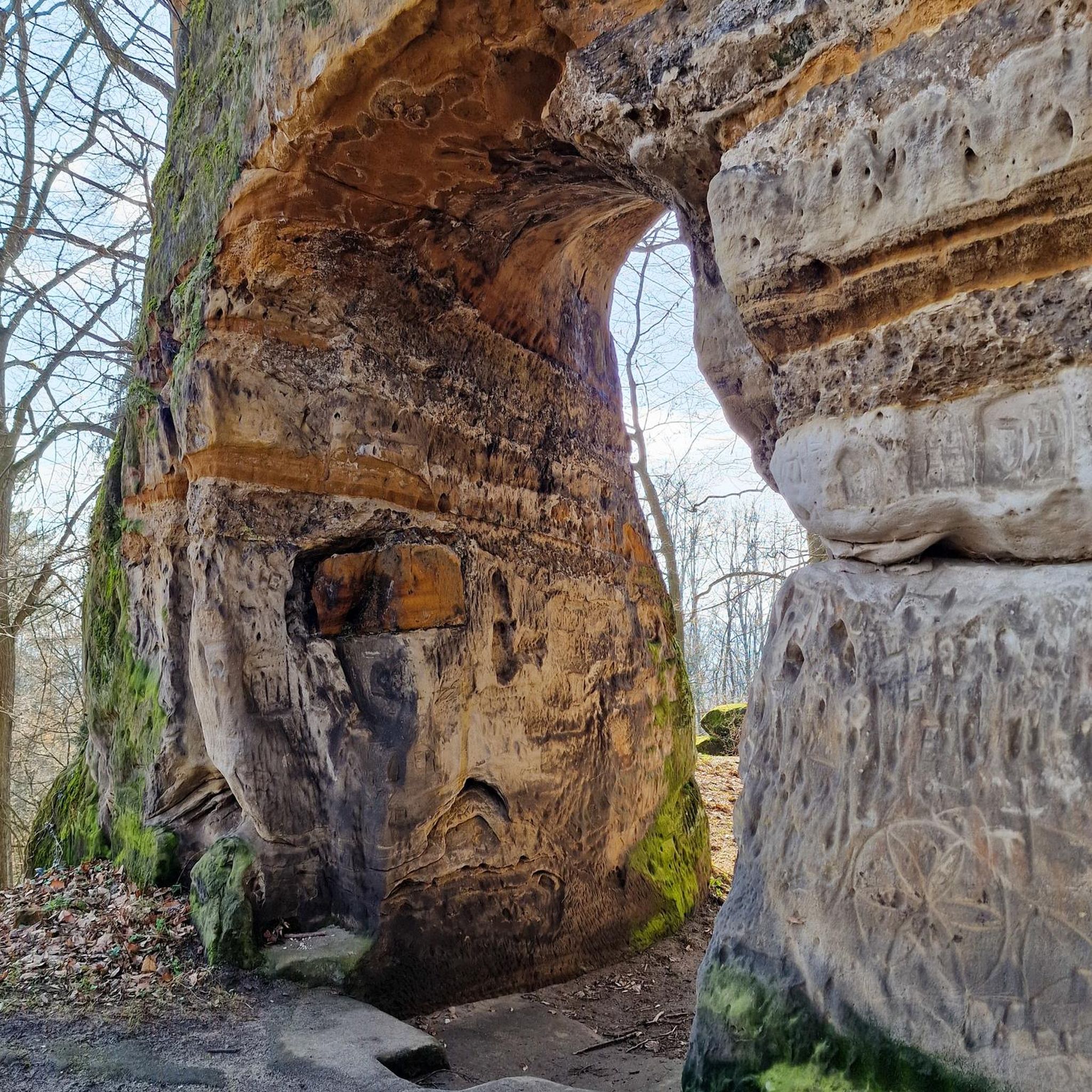
The region boasts several impressive landmarks and viewpoints. You can hike to the Käsplatte Summit, known for its massive boulders and expansive views, or the Cross rocks (Kreuzfelsen) for excellent vistas of Bad Kötzting. The Rauchröhren rock formation is another unique natural monument worth exploring.
What is the best time of year to go hiking in Blaibach?
Blaibach is beautiful for hiking throughout much of the year. Spring and summer offer lush greenery and blooming landscapes, while autumn transforms the region with vibrant foliage, making it particularly picturesque. Even in winter, the area is suitable for walking, though some trails might require appropriate gear.
Are there any trails that lead to lakes or rivers?
Absolutely. Many trails in Blaibach follow the course of the Regen River or circle the beautiful Lake Blaibach. You can also find routes that offer views of Lake Höllenstein, providing diverse waterside scenery for your hike.
What do other hikers say about the trails in Blaibach?
The hiking trails in Blaibach are highly regarded by the komoot community, with an average rating of 4.6 stars from over 700 reviews. Hikers often praise the well-signposted paths, the varied scenery, and the opportunity to experience the tranquil beauty of the Bavarian Forest.
Are there any longer or more challenging hikes for experienced trekkers?
Yes, for experienced trekkers, Blaibach offers more challenging routes. The Rundweg zum Haidstein is a moderate 15 km trail with significant elevation gain, providing extensive views over the Bavarian Forest. The region is also home to sections of the Goldsteig, Germany's longest certified long-distance hiking trail, offering varied terrain for more demanding adventures.
Is there parking available near the trailheads in Blaibach?
Yes, parking is generally available near popular trailheads and access points in and around Blaibach. Specific parking information can often be found on individual route descriptions or local tourist information boards.
Can I access hiking trails in Blaibach using public transport?
Blaibach is a well-connected community within the Bavarian Forest, and public transport options exist to reach various starting points for hikes. It's advisable to check local bus and train schedules to plan your access to specific trailheads.
Most popular routes around Blaibach
Most popular attractions around Blaibach

Get inspired with the komoot mobile app


Explore more
Browse the best Hikes in other regions.
