The best walks and hikes around Ségrie
4.3
(190)
1,431
hikers
80
hikes
Hiking around Ségrie offers opportunities to explore the natural heritage of the Sarthe department in France. The region features limestone marl hillocks, such as La Colline du Rocher, which is recognized for its ecological value and rare plant species. Trails often follow former railway lines, providing accessible paths through varied landscapes. Ségrie is situated within the broader Alpes Mancelles region, characterized by diverse vegetation and natural areas.
Best hiking trails around Ségrie
- The most popular hiking route is Château de…
Last updated: May 23, 2026
4.0
(2)
10
hikers
18.2km
04:53
220m
220m
Moderate hike. Good fitness required. Easily-accessible paths. Suitable for all skill levels.
4.0
(4)
52
hikers
4.98km
01:21
70m
70m
Easy hike. Great for any fitness level. Easily-accessible paths. Suitable for all skill levels.

Sign up for free
4.2
(6)
17
hikers
Moderate hike. Good fitness required. Easily-accessible paths. Suitable for all skill levels.
4.0
(3)
14
hikers
24.2km
06:31
300m
300m
Hard hike. Very good fitness required. Easily-accessible paths. Suitable for all skill levels.
3.0
(1)
6
hikers
10.3km
02:42
70m
70m
Moderate hike. Good fitness required. Easily-accessible paths. Suitable for all skill levels.
Get access to more routes and recommendations from other explorers.
Sign up for free
Already have an account?
Our route recommendations are based on thousands of hikes, rides, and runs completed by other people on komoot.
Start today with a free account
Your next adventure awaits.
Login or Signup


Tips from the Community

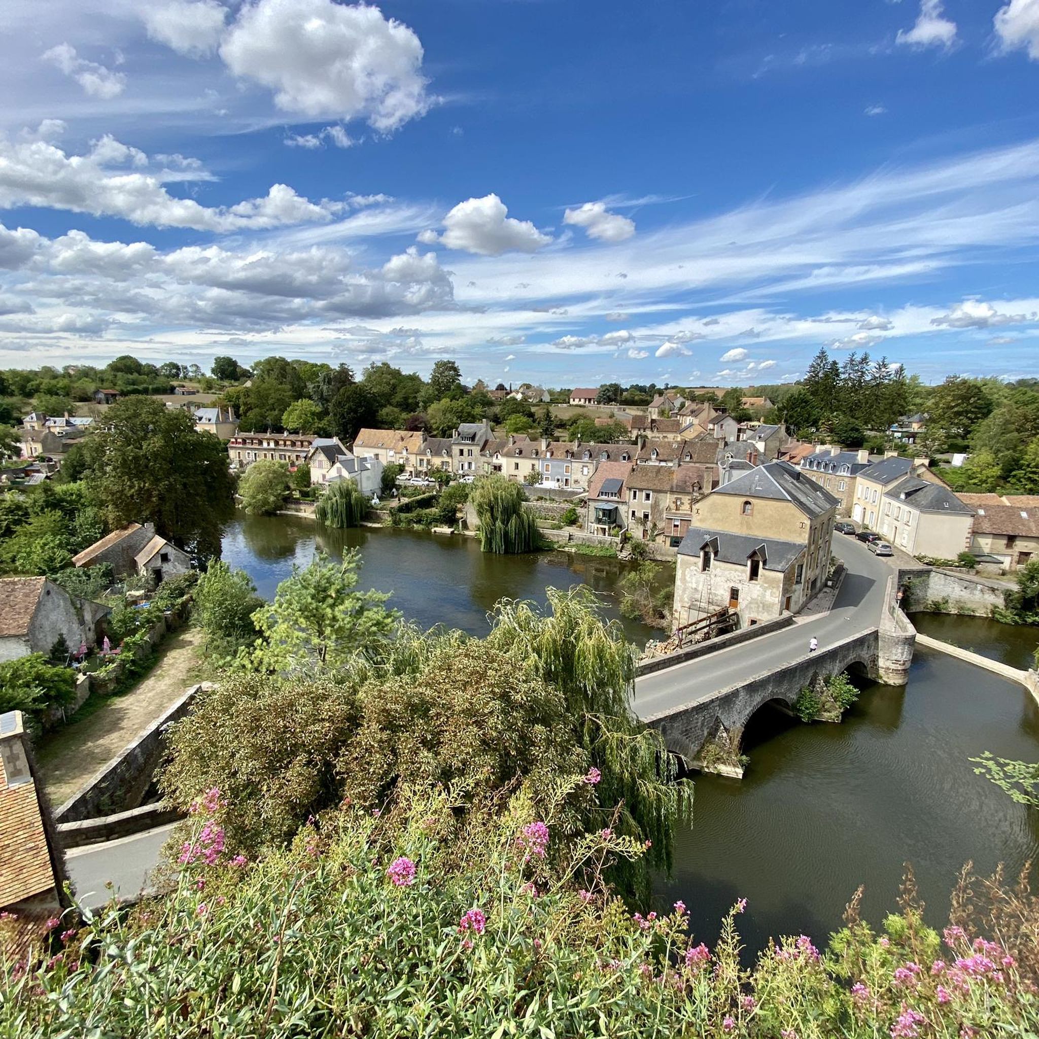
This 11th century medieval bridge is a beautiful place to contemplate Beaumont-sur-Sarthe for a short moment. In addition to the river, you can see the castle located on the heights of the town.
0
0

This old Romanesque bridge built in medieval times, between the 11th and 12th centuries, spans the Sarthe. Since 1988, it has been on the list of historic monuments. Stopping there for a moment, you have a nice view of the village of Beaumont-sur-Sarthe.
1
0
Lake Sillé is located in the heart of the green forest of the same name, in the Normandy-Maine Regional Natural Park. It is possible to swim there and the site is very popular with residents of the surrounding villages. On its banks you will find campsites, dining options as well as the Maison du Lac et de la Forêt.
1
0

In order to preserve this area, one should pay attention to nature conservation.
1
0

In 2021, Fresnay-sur-Sarthe made it to the bottom 14 of the 'Favourite Village of the French' competition and the houses of Le Bourganeuf are a big part of the appeal of this village.
2
0
The Chateau de Fresnay is well worth a visit, but don't forget to stroll through the gardens. You can stroll along the outer fortification walls and enjoy the stunning views and vantage point from the chateau over the Sarthe River below and the surrounding town.
3
0
This small castle is built on a rocky promontory which dominates the main access roads to Alençon, Le Mans and Angers.
5
1

The Romanesque bridge crosses the Sarthe. It was built in medieval times, between the 11th and 12th centuries. It consists of stone block arches after a redesign. It has been listed since 1988 on the list of historical monuments of France.
1
0
Frequently Asked Questions
How many hiking trails are available around Ségrie?
Ségrie and its surroundings offer a wide variety of hiking experiences, with over 80 routes available. These range from easy strolls to more challenging treks, ensuring there's something for every hiker.
What are the easiest hiking options for beginners or those looking for a relaxed walk?
For an easy and accessible option, consider the Château de Fresnay-sur-Sarthe – Fresnay-sur-Sarthe Castle loop from Fresnay-sur-Sarthe. This 3.1-mile (5.0 km) path is perfect for a relaxed exploration around the castle grounds. Overall, there are 32 easy routes in the area.
Are there any family-friendly hiking trails in Ségrie?
Yes, Ségrie offers several family-friendly options. The Ségrie/Saint-Christophe-du-Jambet Interpretation Trail, an old 4.5 km railway line, is ideal for families. It features informative signs about local history, fauna, and flora, making it an engaging walk for all ages. Shorter, easy routes like the Château de Fresnay-sur-Sarthe – Fresnay-sur-Sarthe Castle loop are also great for families.
Can I bring my dog on the hiking trails around Ségrie?
Many trails around Ségrie are suitable for dogs, especially those that traverse natural landscapes and former railway lines. It's always recommended to keep your dog on a leash, particularly in sensitive natural areas like La Colline du Rocher, to protect local wildlife and rare plant species. Always check local signage for specific restrictions.
What natural features or landmarks can I expect to see while hiking in Ségrie?
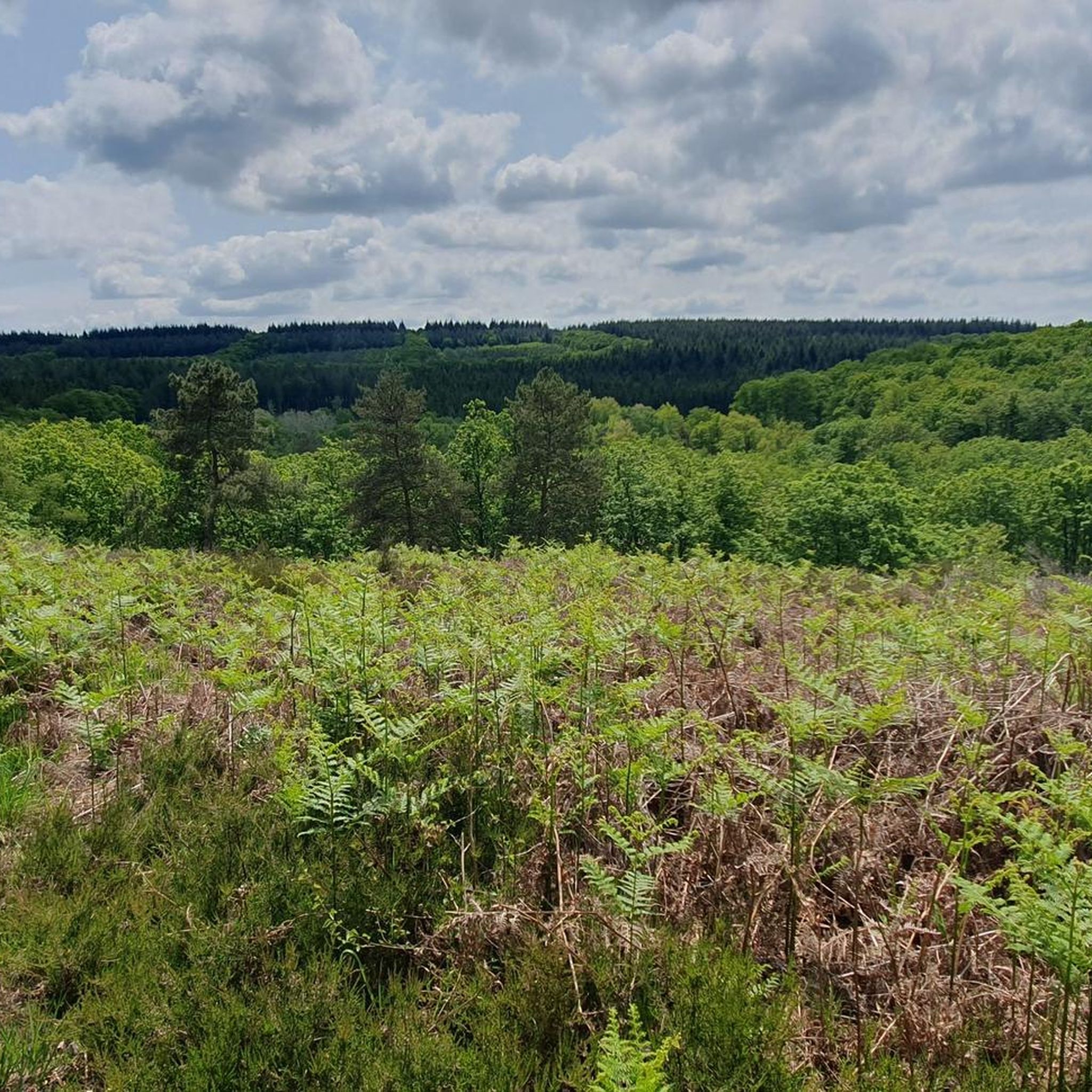
Ségrie is rich in natural beauty. You can explore La Colline du Rocher, a calcareous marl hill known for its rare plant species, including orchids, and the protected 'Azuré du serpolet' butterfly. The broader region is part of the Normandy-Maine Regional Natural Park, offering rolling landscapes and vibrant meadows. For more dramatic scenery, the nearby Alpes Mancelles feature deeply incised valleys and rocky outcrops.
Are there any historical sites or points of interest along the hiking routes?
Absolutely. Many routes incorporate historical elements. The Old tramway line – Château de Fresnay-sur-Sarthe loop from Fresnay-sur-Sarthe follows a historical railway line. You can also visit the impressive Château de Fresnay-sur-Sarthe, a prominent landmark in the area. The Ségrie/Saint-Christophe-du-Jambet Interpretation Trail also provides insights into the region's history and architecture.
Are there many circular hiking routes in the Ségrie area?
Yes, many of the trails around Ségrie are designed as circular routes, allowing you to start and end at the same point. Examples include the Château de Fresnay-sur-Sarthe et le Bourganeuf — boucle depuis Douillet and the Château de Fresnay-sur-Sarthe loop from Fresnay-sur-Sarthe. These loops are convenient for exploring the diverse landscapes without retracing your steps.
What is the best time of year to go hiking in Ségrie?
The Pays de la Loire region, where Ségrie is located, generally offers pleasant hiking conditions from spring through autumn. Spring brings blooming wildflowers, especially the rare orchids on La Colline du Rocher, while autumn showcases beautiful foliage. Summer is also suitable, though it's advisable to hike earlier in the day to avoid the midday heat.
What do other hikers say about the trails in Ségrie?
The hiking routes in Ségrie are highly rated by the komoot community, with an average score of 4.3 stars from over 180 reviews. Hikers often praise the varied terrain, the well-maintained paths, and the opportunity to explore both natural beauty and historical sites like the old railway lines and castles.
Are there any challenging hikes for experienced trekkers?
While many routes are easy to moderate, there are options for more experienced hikers. The Jouteau Pond – The Grand Pond of Sillé loop from Montreuil-le-Chétif is a difficult 15-mile (24.2 km) trail with significant elevation changes, offering a more strenuous experience. The nearby Alpes Mancelles also provide more rugged, 'mountainous' hiking experiences with steep paths and rocky outcrops.
Where can I find parking for the hiking trails in Ségrie?
Parking is generally available in the villages and towns that serve as starting points for many trails, such as Fresnay-sur-Sarthe and Ségrie itself. For specific routes, it's best to check the individual tour details on komoot, as they often provide information on recommended parking spots near the trailhead.
Most popular attractions around Ségrie

Get inspired with the komoot mobile app


Explore more
Browse the best Hikes in other regions.
