The best walks and hikes around Saint-Galmier
4.5
(287)
1,583
hikers
27
hikes
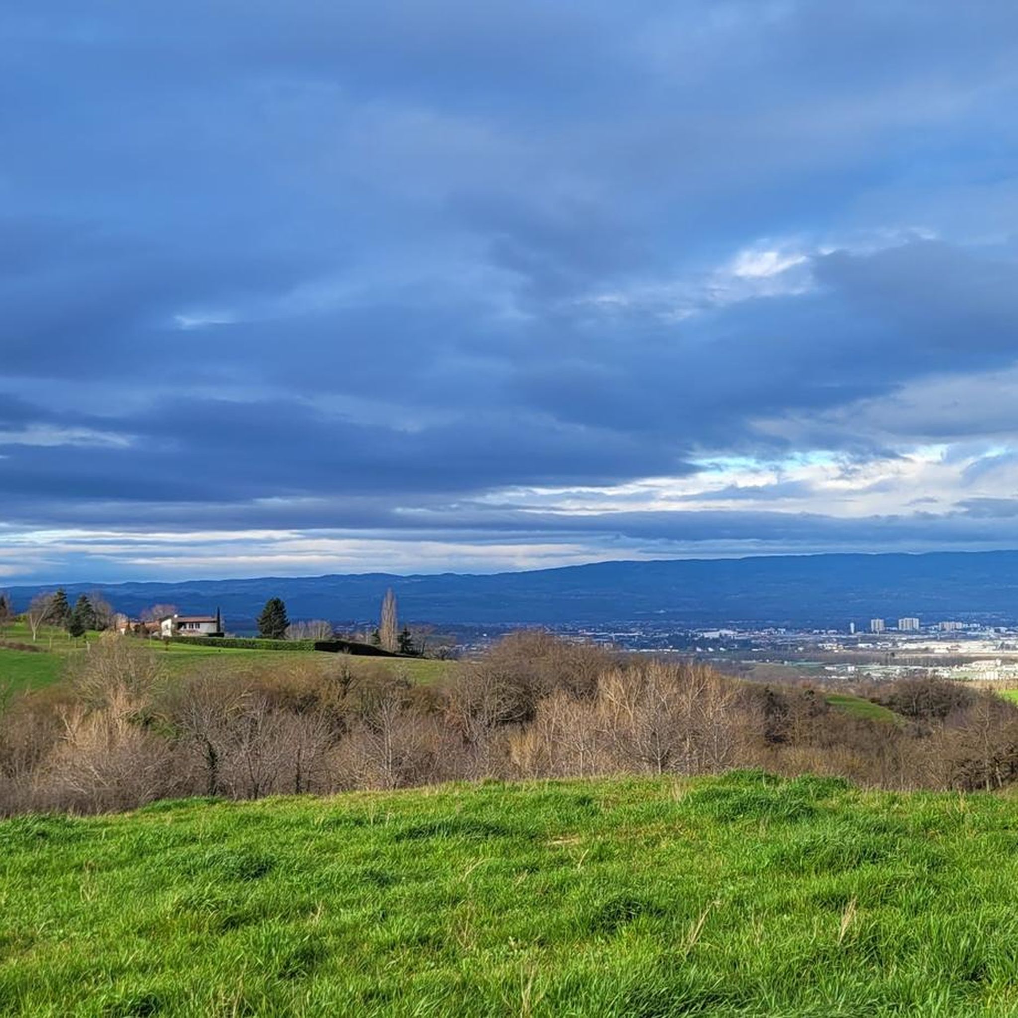
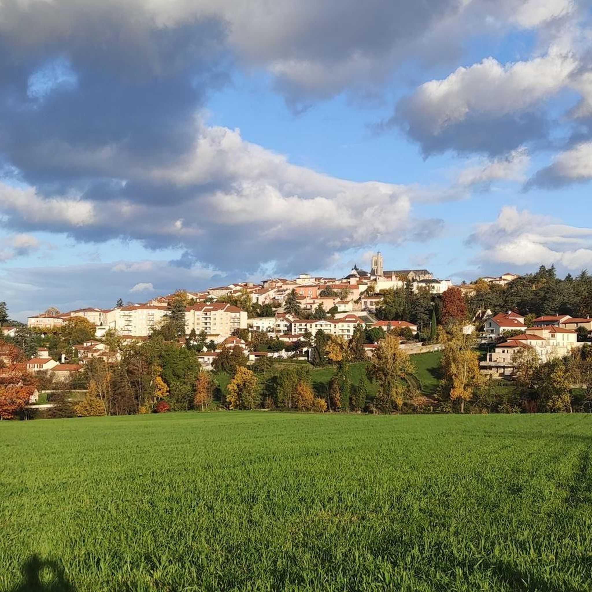
Hiking around Saint-Galmier offers diverse landscapes in the western foothills of the Mount Lyonnais. The region features a valley setting with elevations ranging from 357 to 551 meters, providing varied terrain. It is characterized by temperate deciduous forests, particularly along the Coise River, and includes prominent natural features like "Les Trois Croix" and views of the Plain of Forez. These natural areas provide a variety of trails for exploration.
Best hiking trails around Saint-Galmier
- The most popular hiking route is…
Last updated: June 25, 2026
5.0
(2)
21
hikers
11.1km
02:56
100m
100m
Moderate hike. Good fitness required. Easily-accessible paths. Suitable for all skill levels.
5.0
(1)
24
hikers
13.8km
03:48
220m
220m
Moderate hike. Good fitness required. Easily-accessible paths. Suitable for all skill levels.

Sign up for free
5.0
(1)
15
hikers
5.48km
01:26
50m
50m
Easy hike. Great for any fitness level. Easily-accessible paths. Suitable for all skill levels.
5.0
(2)
9
hikers
18.3km
05:02
300m
300m
Hard hike. Very good fitness required. Easily-accessible paths. Suitable for all skill levels.
6
hikers
5.32km
01:33
150m
150m
Easy hike. Great for any fitness level. Easily-accessible paths. Suitable for all skill levels.
Get access to more routes and recommendations from other explorers.
Sign up for free
Already have an account?
Our route recommendations are based on thousands of hikes, rides, and runs completed by other people on komoot.
Start today with a free account
Your next adventure awaits.
Login or Signup


Tips from the Community

Great view but hard hard to get up there
0
0
Frequently Asked Questions
How many hiking trails are available in Saint-Galmier?
Saint-Galmier offers a good selection of hiking routes, with over 25 trails available for exploration. These routes cater to various preferences, from easy strolls to more challenging treks.
Are there easy hiking trails suitable for beginners or families?
Yes, Saint-Galmier has several easy hiking trails perfect for beginners or families. For instance, the Saint Galmier loop from Saint-Galmier is an easy 5.6 km (3.5 miles) trail that takes about 1 hour 28 minutes. Another accessible option is the Saint-Médard Church loop from Saint-Médard-en-Forez, which is 5.4 km (3.3 miles) long.
What are the best trails for panoramic views in Saint-Galmier?
For breathtaking panoramic views, you should explore trails that lead to "Les Trois Croix" (The Three Crosses). This prominent natural feature offers expansive vistas over Saint-Galmier, the surrounding hills, and the Forez plain. The Saint Galmier – The three crosses loop from Saint-Galmier is a popular moderate route that provides these rewarding views.
Can I find circular hiking routes in Saint-Galmier?
Yes, many of the hiking routes in Saint-Galmier are circular, allowing you to start and end at the same point. Examples include the Saint Galmier – The three crosses loop from Saint-Galmier and the Saint Galmier – Trois-Croix loop from Saint-Galmier, both offering varied terrain and scenic viewpoints.
Are there hiking opportunities along the Coise River?
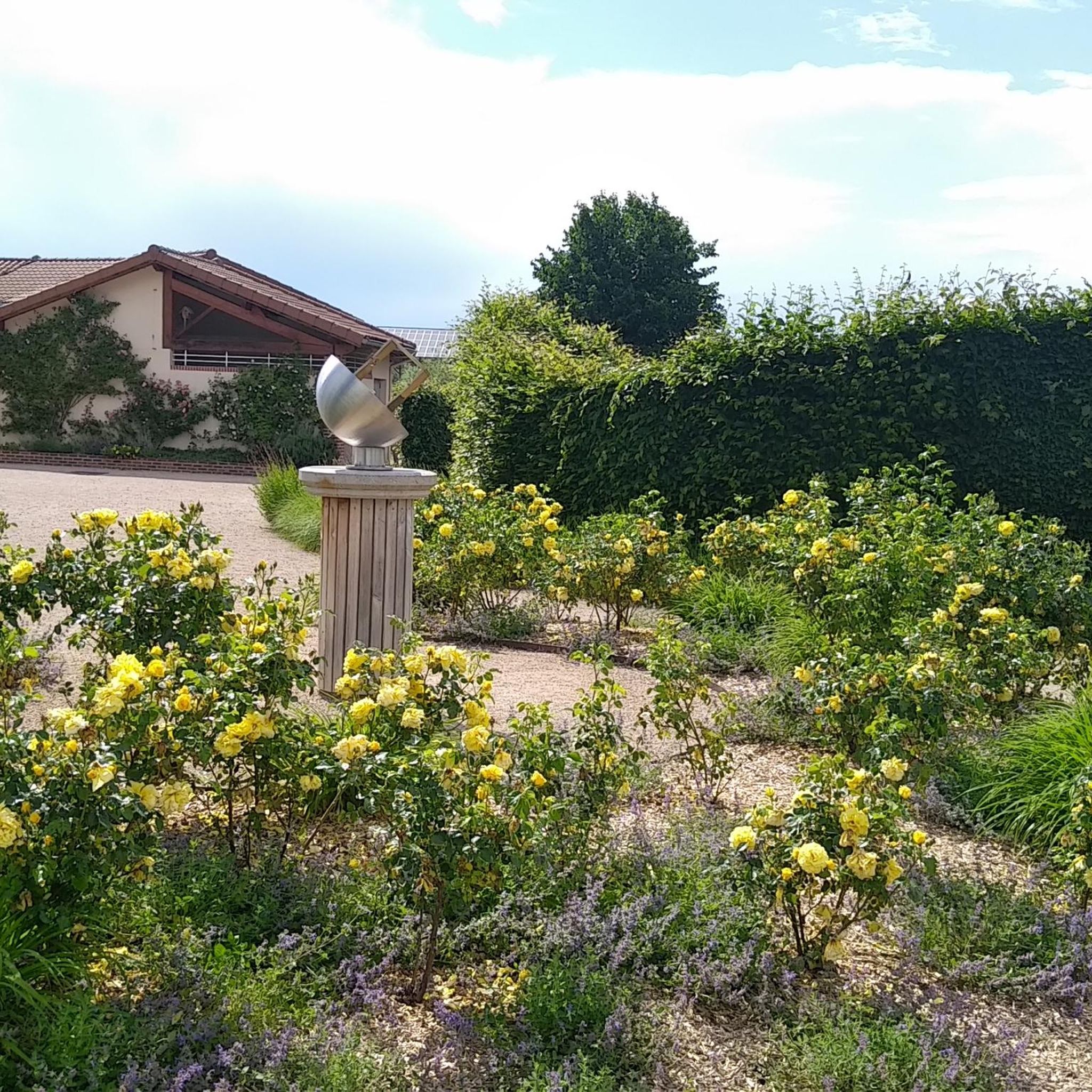
Absolutely. The Coise River meanders through Saint-Galmier, and its banks offer pleasant walking paths. These routes allow hikers to discover local natural areas, including the beautiful Rose Garden, which features over 400 varieties of roses and perennial plants.
What kind of natural landscapes can I expect to see while hiking?
Hiking in Saint-Galmier offers diverse landscapes. You'll encounter temperate deciduous forests, especially along the Coise River, and wooded areas like Vernay and Fontford. The region also features a valley setting with elevations ranging from 357 to 551 meters, providing varied terrain and views of the picturesque Plain of Forez.
Are dogs allowed on the hiking trails in Saint-Galmier?
While specific regulations can vary by trail, many natural areas and paths in Saint-Galmier are generally dog-friendly. It's always recommended to keep dogs on a leash, especially in wooded areas or near wildlife, and to clean up after them to preserve the natural environment for everyone.
What is the best time of year to go hiking in Saint-Galmier?
Saint-Galmier is enjoyable for hiking throughout much of the year due to its temperate climate. Spring and autumn offer pleasant temperatures and beautiful scenery, with vibrant foliage in the fall. Summer is also suitable, especially for walks along the river or in shaded wooded areas. Winter hiking is possible, though some trails might be muddy or require appropriate gear.
Are there any interesting attractions or landmarks near the hiking trails?
Yes, Saint-Galmier and its surroundings offer several points of interest. You can explore the charming town of Saint-Symphorien-sur-Coise, visit the Gimond Dam, or discover the historic Montrond-les-Bains Castle. The Rose Garden along the Coise River is also a notable natural heritage site.
What do other hikers say about the trails in Saint-Galmier?
The hiking trails in Saint-Galmier are highly regarded by the komoot community, with an average rating of 4.5 out of 5 stars from over 250 reviews. Hikers often praise the diverse terrain, the well-maintained paths, and the rewarding panoramic views, especially from "Les Trois Croix".
Where can I find parking for hiking trails in Saint-Galmier?
Saint-Galmier generally offers various parking options within the town and near popular trailheads. Many routes, especially those starting directly from Saint-Galmier, will have accessible parking nearby. It's advisable to check specific starting points for the most convenient parking locations.
What are the typical elevations encountered on hikes in Saint-Galmier?
The terrain in Saint-Galmier varies, with elevations ranging from 357 to 551 meters. While some easy trails have minimal elevation gain, moderate routes like the Saint Galmier – Trois-Croix loop from Saint-Galmier can feature elevation gains of over 200 meters, providing a good workout and rewarding views.
Are there wooded areas to explore on hikes?
Yes, Saint-Galmier is rich in wooded areas. You can enjoy leisurely walks through Vernay woods and the wood of Fontford, which historically served as a natural passage. These areas provide a refreshing escape into nature and are characteristic of the region's temperate deciduous forests.
Most popular routes around Saint-Galmier
Most popular attractions around Saint-Galmier

Get inspired with the komoot mobile app


Explore more
Browse the best Hikes in other regions.
