The best road cycling routes around Veauche
4.2
(185)
5,426
riders
92
rides
Road cycling routes around Veauche offer varied terrain, from the relatively flat river plains of the Loire River and Canal du Forez to the more challenging, hilly landscapes of the nearby Monts du Forez. The region, situated in the Loire department, features an average elevation of around 1,237 feet (377 meters) in Veauche itself, with routes extending into areas with significant elevation changes. Paved surfaces are common, ensuring suitability for road bikes. This diverse topography provides options for different cycling preferences.
Best road cycling routes around Veauche
- The most popular road cycling route is The ponds of Feurs – Chemin Unias Craintilleux loop from Veauche-Saint-Galmier, a 35.9 miles (57.9 km) trail that takes 2 hours 20 minutes to complete. This moderate route features gentle hills and scenic pond views.
- Another top favourite among local road cyclists is Bellegarde-en-Forez Castle – Saint Roch Chapel loop from Veauche-Saint-Galmier, a moderate 28.8 miles (46.4 km) path. This route includes significant climbs and passes by historical landmarks.
- Local road cyclists also love the Monts du lyonnais sud loop from Veauche-Saint-Galmier, a 31.1 miles (50.1 km) trail leading through the Monts du Lyonnais, often completed in about 2 hours 19 minutes.
- Road cycling around Veauche is defined by the Loire River valley, the Canal du Forez, and the Monts du Forez. The network offers options for various ability levels, from flat greenways to demanding ascents.
- The routes in Veauche are highly rated by the komoot community with an average score of 4.3 stars from around 30 reviews. More than 1,100 road cyclists have used komoot to explore Veauche's varied terrain.
Last updated: June 28, 2026
4.0
(6)
74
riders
Moderate road ride. Good fitness required. Mostly well-paved surfaces and easy to ride.
63
riders
Moderate road ride. Good fitness required. Mostly well-paved surfaces and easy to ride.

Sign up for free
65
riders
64.4km
03:03
870m
870m
Moderate road ride. Good fitness required. Mostly well-paved surfaces and easy to ride.
5.0
(1)
65
riders
53.4km
02:38
800m
800m
Moderate road ride. Good fitness required. Some segments of this route may be unpaved and difficult to ride.
4.7
(3)
120
riders
50.1km
02:19
570m
570m
Moderate road ride. Good fitness required. Mostly well-paved surfaces and easy to ride.
Get access to more routes and recommendations from other explorers.
Sign up for free
Already have an account?
Our route recommendations are based on thousands of hikes, rides, and runs completed by other people on komoot.
Start today with a free account
Your next adventure awaits.
Login or Signup
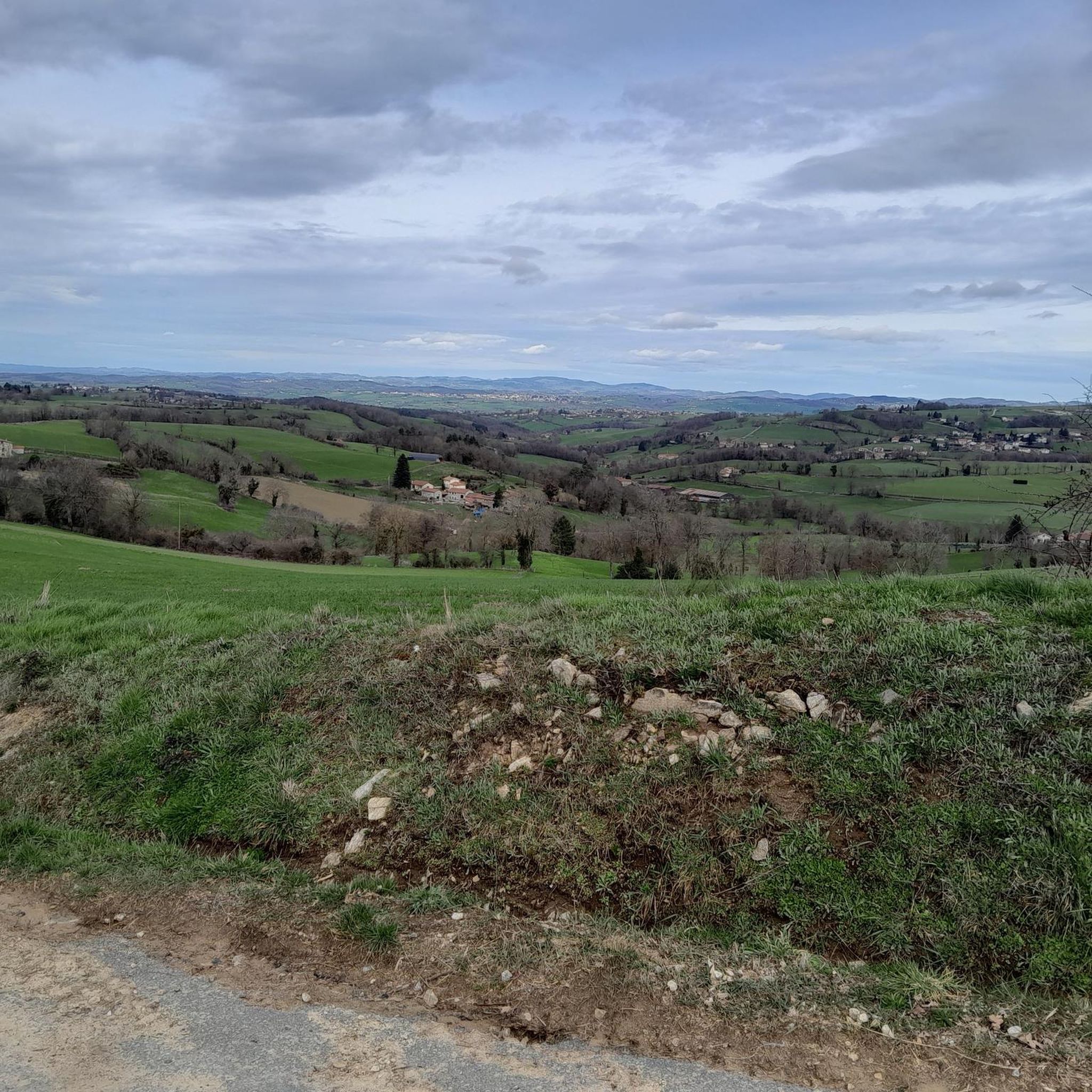
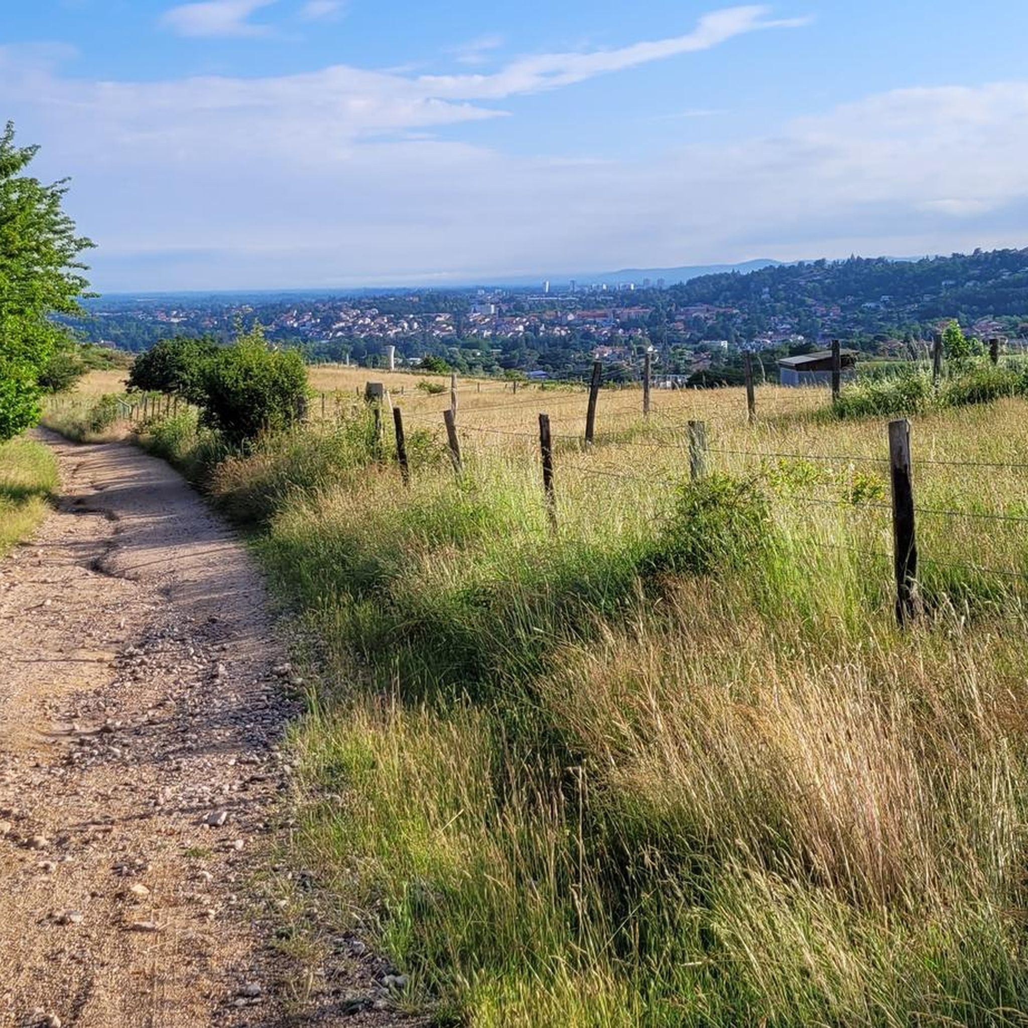
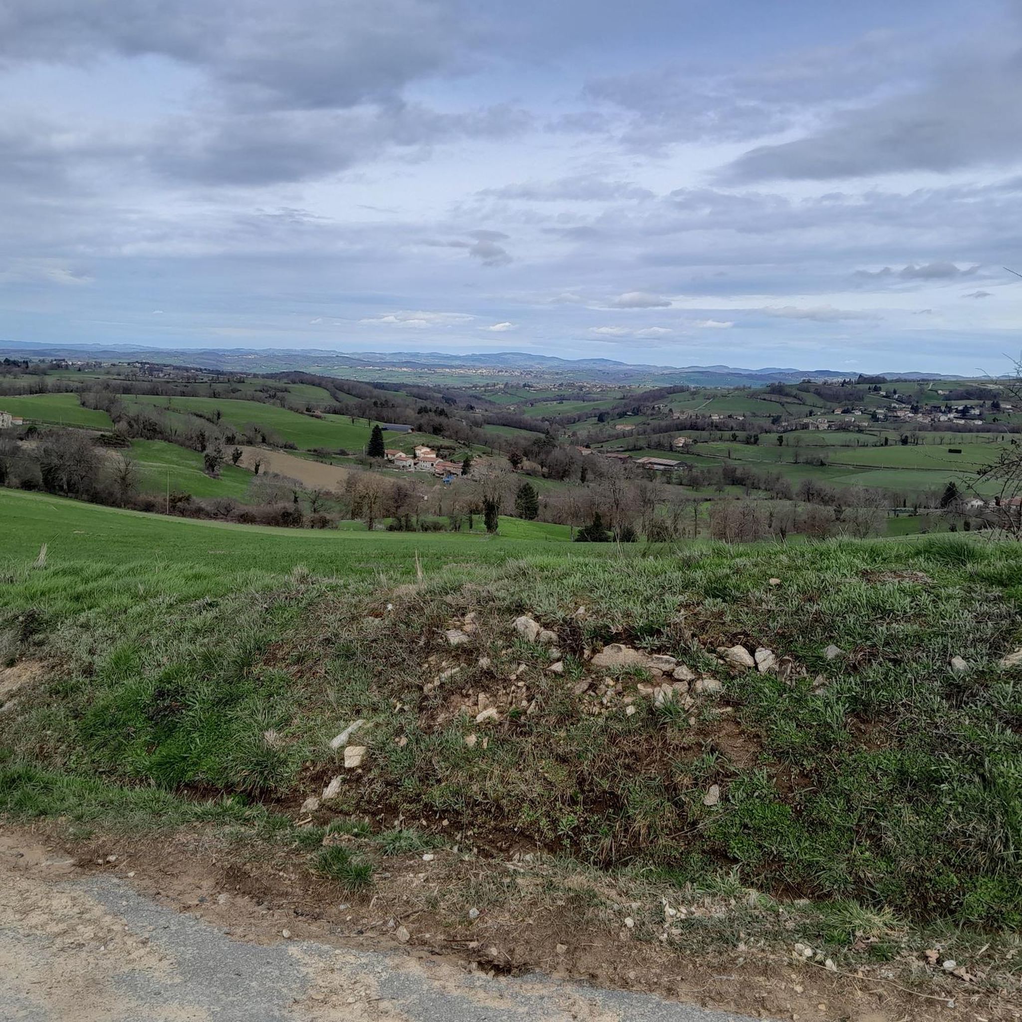

Tips from the Community

on the watershed between the ocean and the Mediterranean
0
0

Very beautiful light especially in the evening, view of the plain and the Forez mountains
0
0
Beautiful view towards the East overlooking Valfleury
0
0

Accessible drinking water point (tap). Toilets next door
0
0

The Col de la Gachet from Lorette is 11.04 km long with a total drop of 463 m. The average gradient is 4.19% with maximum gradients of 7.6%.
1
0

A pretty work of art in metal which allows us to have a beautiful view of the Loire.
0
0

It is a bucolic path, shaded and asphalted, between the Bruyères pond and the Vieux pond. The views are truly magnificent!
1
0
View of the Motasse pond and the Desert pond, on the pretty pond road.
1
0
Frequently Asked Questions
How many road cycling routes are available around Veauche?
There are nearly 100 road cycling routes around Veauche, catering to various skill levels. You'll find options ranging from easy, flat rides to more difficult routes with significant elevation gain.
What kind of terrain can I expect on road cycling routes around Veauche?
The terrain around Veauche is quite varied. You can enjoy relatively flat rides along the Loire River plains and the Canal du Forez, or tackle more challenging, hilly landscapes in the nearby Monts du Forez. Routes can feature up to 2,260 meters (7,415 feet) of elevation gain for experienced riders, while easier options might have around 150 meters (492 feet) over a couple of hours.
Are there challenging road cycling routes with significant climbs near Veauche?
Yes, for those seeking a challenge, the nearby Monts du Forez offer mountainous terrain with demanding ascents. Routes like the Ascent of Mont Morin provide steep sections and rewarding panoramic views.
Are there any easy or beginner-friendly road cycling routes in the Veauche area?
Absolutely. Veauche offers several easy road cycling routes, particularly along the Canal du Forez and the Loire River plains. These routes often feature minimal climbing and are suitable for beginners or those looking for a relaxed ride. The region has 7 routes classified as easy.
What are some scenic points of interest or landmarks I can see while cycling around Veauche?
While cycling, you can enjoy picturesque views along the Loire River and its valley. Notable landmarks include the tranquil Grangent Dam, the historic town of Montrond-les-Bains with its medieval castle, and the scenic Canal du Forez. Many routes also pass through charming villages, flourishing orchards, and vineyards.
Are there dedicated cycle paths or greenways suitable for road bikes near Veauche?
Yes, Veauche benefits from access to dedicated cycling infrastructure. The Canal du Forez offers a pleasant, mostly flat 44-kilometer loop that is suitable for road bikes. Additionally, nearby Montrond-les-Bains boasts a magnificent greenway, ideal for relaxed cycling along a path bordered by a river and greenery, away from car traffic. These are often paved or have good quality gravel surfaces.
What do other road cyclists enjoy most about cycling in Veauche?
The road cycling routes around Veauche are highly rated by the komoot community, with an average score of 4.3 stars from nearly 30 reviews. Cyclists often praise the diverse topography, offering everything from flat river rides to challenging climbs, and the well-maintained paved surfaces that are ideal for road bikes.
Can I find loop routes for road cycling around Veauche?
Yes, many of the road cycling routes around Veauche are designed as loops, allowing you to start and finish in the same location. For example, the popular The ponds of Feurs – Chemin Unias Craintilleux loop from Veauche-Saint-Galmier is a 35.9-mile (57.9 km) route featuring gentle hills and scenic pond views.
Are there any road cycling routes that pass by historical sites or castles?
Yes, some routes incorporate historical landmarks. For instance, the Bellegarde-en-Forez Castle – Saint Roch Chapel loop from Veauche-Saint-Galmier is a moderate 28.8-mile (46.4 km) path that includes significant climbs and passes by historical sites like the Bellegarde-en-Forez Castle.
What is the best time of year for road cycling around Veauche?
The best time for road cycling around Veauche is generally during spring and autumn when the weather is mild and pleasant. Summer can also be enjoyable, especially for early morning or late afternoon rides to avoid the midday heat. Winter cycling is possible but may require more preparation due to colder temperatures and potentially wet conditions.
Are there any long-distance road cycling routes or connections to larger networks?
While Veauche itself offers numerous routes, it is situated within the broader influence of the renowned "Loire à Vélo" route, a 900 km cycling itinerary following the Loire River. Although the formal route ends further upstream, the roads of the Loire valley leading towards it become increasingly scenic, offering connections to a wider network for longer tours. You can find more information about the Loire à Vélo route on France Vélo Tourisme.
Are there any road cycling routes that offer views of the Loire River?
Yes, many routes around Veauche provide picturesque views of the Loire River. Cycling along the river offers scenic vistas of France's longest river, with its sandy banks and islands. The bords de Loire Rivas-Montrond highlight is a great example of a scenic section along the river.
Most popular attractions around Veauche

Get inspired with the komoot mobile app


Explore more
Browse the best Road cycling routes in other regions.
