The best walks and hikes around Villers-Sous-Chalamont
4.4
(556)
2,747
hikers
45
hikes
Hiking around Villers-Sous-Chalamont offers a varied landscape characterized by river valleys, dense woodlands, and limestone formations, including grottoes. The region features a network of trails that traverse diverse terrain, from gentle riverside paths to more challenging ascents. Hikers can explore areas with significant natural features, providing a range of experiences for different skill levels.
Best hiking trails around Villers-Sous-Chalamont
- The most popular hiking route is Lison Spring – River course to the Sarrazine Grotto loop from Sainte-Anne, a 9.9 miles (15.9 km) trail that takes 5 hours 3 minutes to complete. This difficult route explores a river course and leads to a notable grotto.
- Another top favourite among local hikers is The Devil's Bridge – Saint-Thiébaut Church loop from Dournon, a moderate 7.5 miles (12.1 km) path. This trail offers views of the Devil's Bridge and passes by Saint-Thiébaut Church.
- Local hikers also love the Saint-Thiébaut Church – The Inn loop from Sainte-Anne, a 7.7 miles (12.3 km) trail leading through varied terrain, often completed in about 3 hours 19 minutes.
- Hiking around Villers-Sous-Chalamont is defined by river valleys, dense forests, and limestone features. The network offers options for different ability levels, from easy walks to more challenging routes.
- The routes in Villers-Sous-Chalamont are highly rated by the komoot community with an average score of 4.5 stars from over 500 reviews. More than 2,500 hikers have used komoot to explore Villers-Sous-Chalamont's varied terrain.
Last updated: October 9, 2026
4.6
(28)
181
hikers
10.3km
03:16
400m
400m
Moderate hike. Good fitness required. Easily-accessible paths. Suitable for all skill levels.
5.0
(2)
20
hikers
12.1km
03:14
140m
140m
Moderate hike. Good fitness required. Easily-accessible paths. Suitable for all skill levels.

5.0
(1)
19
hikers
12.3km
03:20
160m
160m
Moderate hike. Good fitness required. Easily-accessible paths. Suitable for all skill levels.
3.0
(1)
16
hikers
6.43km
01:54
190m
190m
Easy hike. Great for any fitness level. Easily-accessible paths. Suitable for all skill levels.
5.0
(2)
8
hikers
5.05km
01:23
80m
80m
Easy hike. Great for any fitness level. Easily-accessible paths. Suitable for all skill levels.
Get access to more routes and recommendations from other explorers.
Already have an account?
Our route recommendations are based on thousands of hikes, rides, and runs completed by other people on komoot.
Start today with a free account
Your next adventure awaits.


Tips from the Community

19th-century bridge that crosses a gorge at the bottom of which flows the Château-Renaud, a stream that feeds the Lison resurgence. Its construction is surrounded by a legend of a pact with the Devil. The keystone of the main arch is carved, on the upstream side, with a grimacing devil's head, in reference to the legend surrounding this bridge
0
0


very good with the spring not far away, well-maintained toilets
0
0

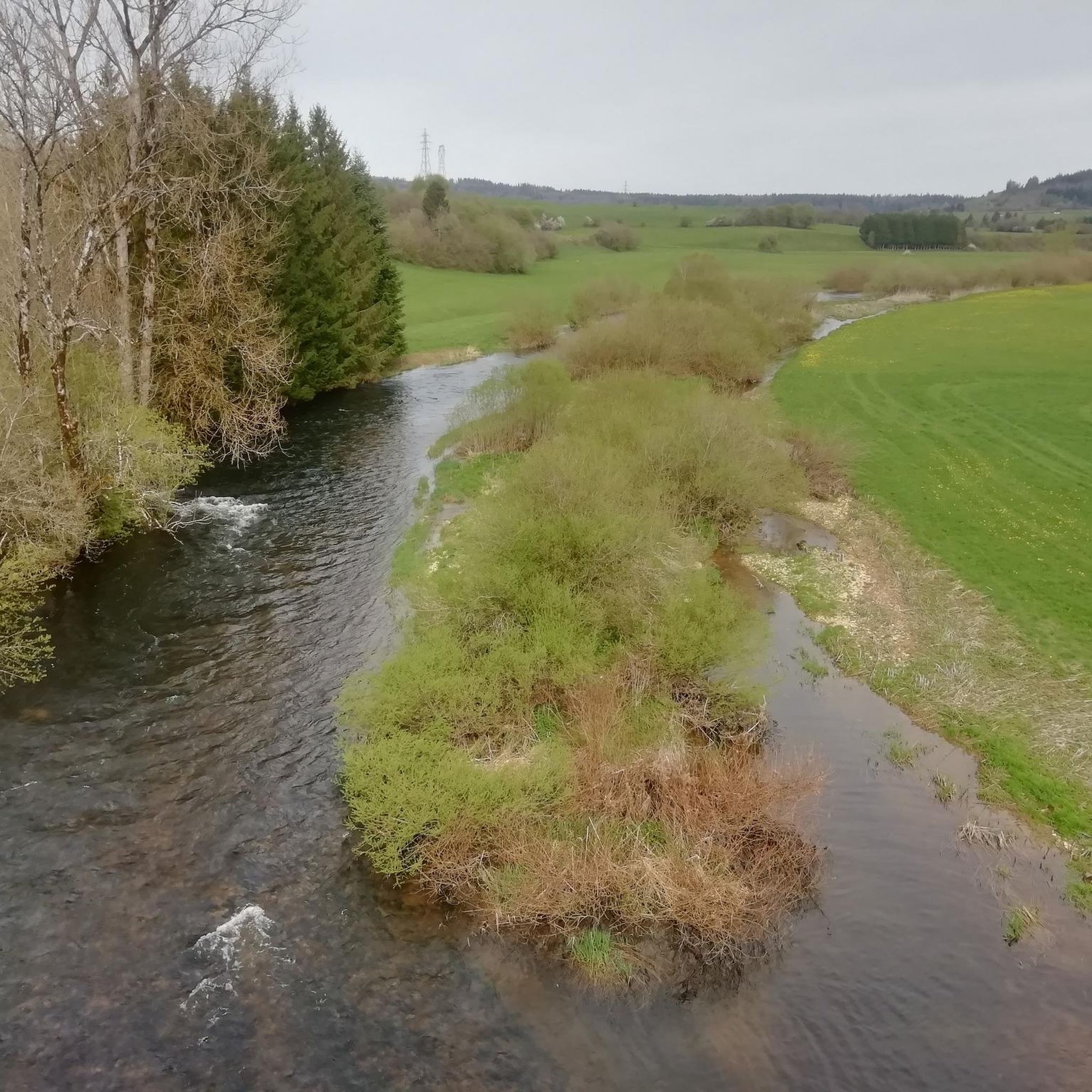
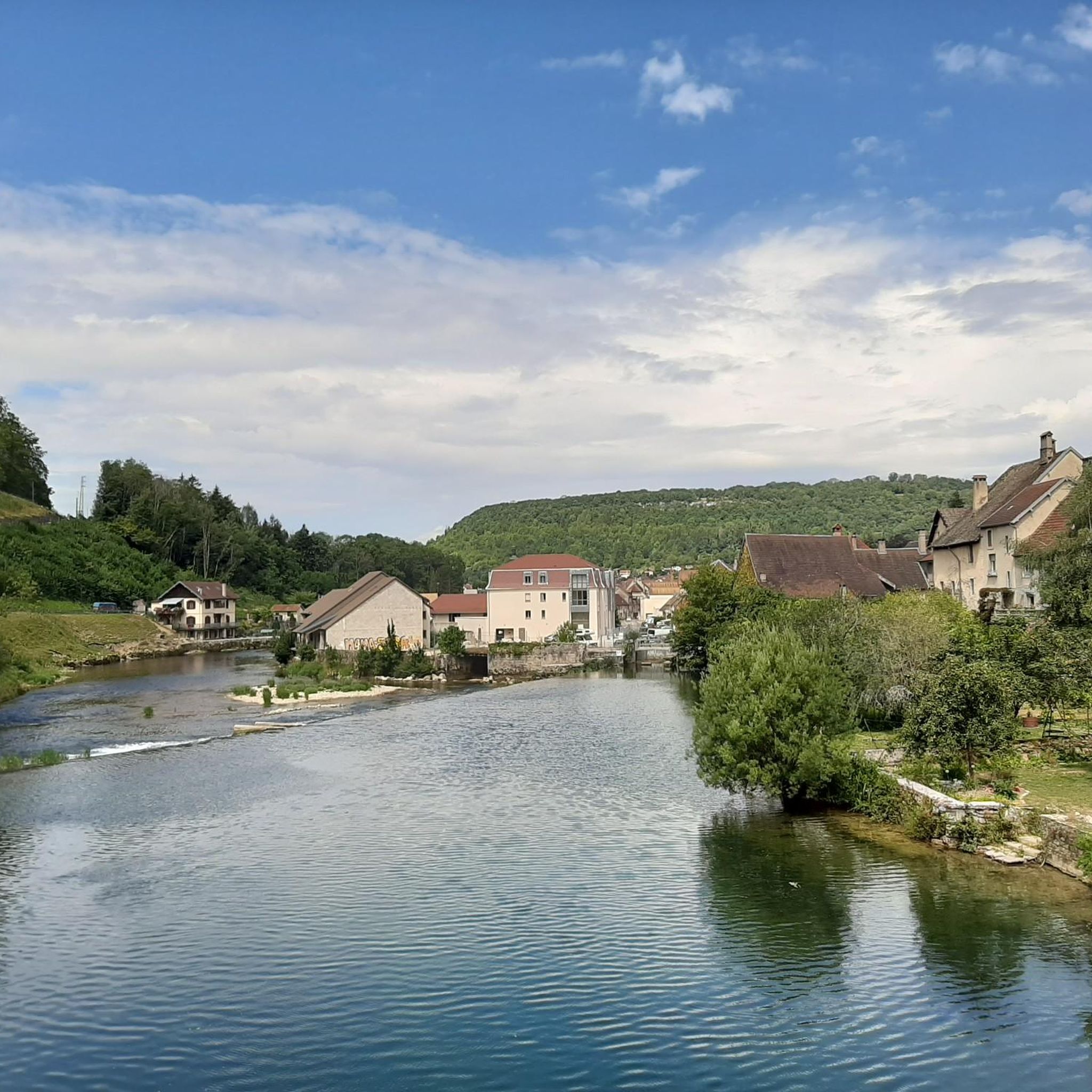
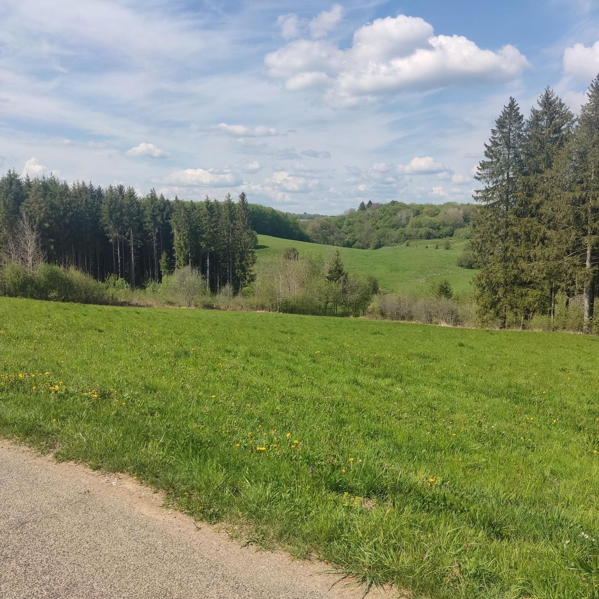
beautiful site
0
0

The church of Saint-Thiébaud in Crouzet was built in 1689.
1
0
Frequently Asked Questions
What kind of hiking trails can I expect around Villers-Sous-Chalamont?
The region offers a diverse landscape for hiking, characterized by river valleys, dense woodlands, and unique limestone formations, including grottoes. You'll find a network of trails traversing varied terrain, from gentle riverside paths to more challenging ascents.
How many hiking routes are available in the Villers-Sous-Chalamont area?
There are over 50 hiking routes available around Villers-Sous-Chalamont, catering to various skill levels. This includes 24 easy routes, 22 moderate routes, and 5 more challenging options.
Are there easy hikes suitable for beginners or families with children?
Yes, Villers-Sous-Chalamont has 24 easy routes perfect for beginners or families. An excellent option is the President Fir of La Joux loop from Réserve de la Glacière, which is 3.7 miles (6 km) long and offers a pleasant walk through the forest.
What are some notable natural attractions or landmarks to see while hiking?
The area is rich in natural features. You can explore the Lison Spring, the impressive Sarrazine Cave, or the Verneau Spring. Additionally, the Devil's Bridge is a popular landmark to visit.
Are there any trails that feature waterfalls?
Yes, several trails in the region offer views of waterfalls and springs. The Lison Spring itself is a significant water feature, and you can find highlights like the Creux Billard — Karst Basin and Waterfall or a dedicated Waterfall Trail with Stone Steps.
Can I find circular hiking routes in Villers-Sous-Chalamont?
Many of the routes in the area are circular, allowing you to start and end at the same point. For example, the The Devil's Bridge – Saint-Thiébaut Church loop from Dournon is a moderate 7.5 miles (12.1 km) path that offers scenic views.
What is the typical length and duration of hikes in this region?
Hikes vary significantly in length and duration. You can find shorter walks like the 3.7 miles (6 km) President Fir of La Joux loop, which takes about 1 hour 48 minutes, up to longer, more challenging routes such as the Lison Spring – River course to the Sarrazine Grotto loop, which is 9.9 miles (15.9 km) and takes around 5 hours 3 minutes.
What do other hikers say about the trails around Villers-Sous-Chalamont?
The hiking routes in Villers-Sous-Chalamont are highly rated by the komoot community, with an average score of 4.5 stars from over 500 reviews. Hikers often praise the varied terrain, the beautiful river valleys, and the impressive natural features like grottoes and springs.
Are there any moderate trails that offer a good balance of challenge and scenery?
Absolutely. The Saint-Thiébaut Church – The Inn loop from Sainte-Anne is a popular moderate trail, 7.7 miles (12.3 km) long, leading through varied terrain and typically completed in about 3 hours 19 minutes. It's a great way to experience the region's diverse landscapes.
Is the region suitable for dog-friendly hikes?
While specific dog regulations can vary by trail or protected area, the natural and forested environment of Villers-Sous-Chalamont generally lends itself to dog-friendly outdoor activities. It's always recommended to keep dogs on a leash, especially in areas with wildlife or near livestock.
What is the best time of year to go hiking in Villers-Sous-Chalamont?
The best time to hike in Villers-Sous-Chalamont is typically from spring through autumn (April to October) when the weather is mild and the natural scenery is at its most vibrant. Spring brings lush greenery and flowing waterfalls, while autumn offers beautiful foliage. Summer is also popular, but trails can be busier.
Are there any challenging routes for experienced hikers?
Yes, for experienced hikers seeking a challenge, the region offers several difficult routes. The Lison Spring – River course to the Sarrazine Grotto loop from Sainte-Anne is a difficult 9.9 miles (15.9 km) trail with significant elevation changes, exploring a river course and leading to a notable grotto.
Most popular routes around Villers-Sous-Chalamont
Most popular attractions around Villers-Sous-Chalamont

Get inspired with the komoot mobile app


Explore more
Browse the best Hikes in other regions.
