The best road cycling routes around Saint-Germain-De-Coulamer
4.1
(15)
1,058
riders
245
rides
Road cycling routes around Saint-Germain-De-Coulamer are situated within the Normandie-Maine Regional Natural Park, offering varied terrain for cyclists. The region features rolling hills, dense forests, and river valleys, with elevations reaching up to 256 meters. Cyclists can find both gentle paths along waterways and more challenging ascents through the countryside. The landscape is characterized by its unspoiled natural features, providing diverse settings for road cycling.
Best road cycling routes around Saint-Germain-De-Coulamer
- The most popular road cycling route is Mont rochard…
Last updated: July 4, 2026
4.0
(1)
254
riders
107km
05:05
1,240m
1,240m
Hard road ride. Very good fitness required. Mostly well-paved surfaces and easy to ride.
4.0
(1)
17
riders
28.5km
01:32
400m
400m
Moderate road ride. Good fitness required. Some segments of this route may be unpaved and difficult to ride.

Sign up for free
10
riders
Moderate road ride. Good fitness required. Mostly well-paved surfaces and easy to ride.
8
riders
26.7km
01:17
370m
370m
Moderate road ride. Good fitness required. Mostly well-paved surfaces and easy to ride.
4.0
(1)
7
riders
37.8km
01:39
340m
340m
Moderate road ride. Good fitness required. Mostly well-paved surfaces and easy to ride.
Get access to more routes and recommendations from other explorers.
Sign up for free
Already have an account?
Our route recommendations are based on thousands of hikes, rides, and runs completed by other people on komoot.
Start today with a free account
Your next adventure awaits.
Login or Signup



Tips from the Community

The commune of Assé-le-Bérenger owes its name to the Bérenger family who settled in the parish of Assé in the 12th century. The church dedicated to Saint Thuribe holds a prominent place in the town's memory. Completed in 1882, it replaced two former sanctuaries. It notably houses a pulpit, a wooden Christ, and an oil painting. According to legend, Saint Thuribe came to the commune during a period of severe drought. He caused a spring to appear. Currently, the stream feeds the commune's washhouse before flowing into the Erve River. Two statues have been sculpted in honor of Saint Thuribe.
0
0
The foundations of Saint-Pierre Church likely date back several centuries, perhaps replacing an older structure. It has witnessed the changes in Voutré, from times of prosperity to more difficult periods. Significant historical events, community celebrations, and local transformations have left their mark on the walls of this church, making it a place where local history comes to life.
0
0

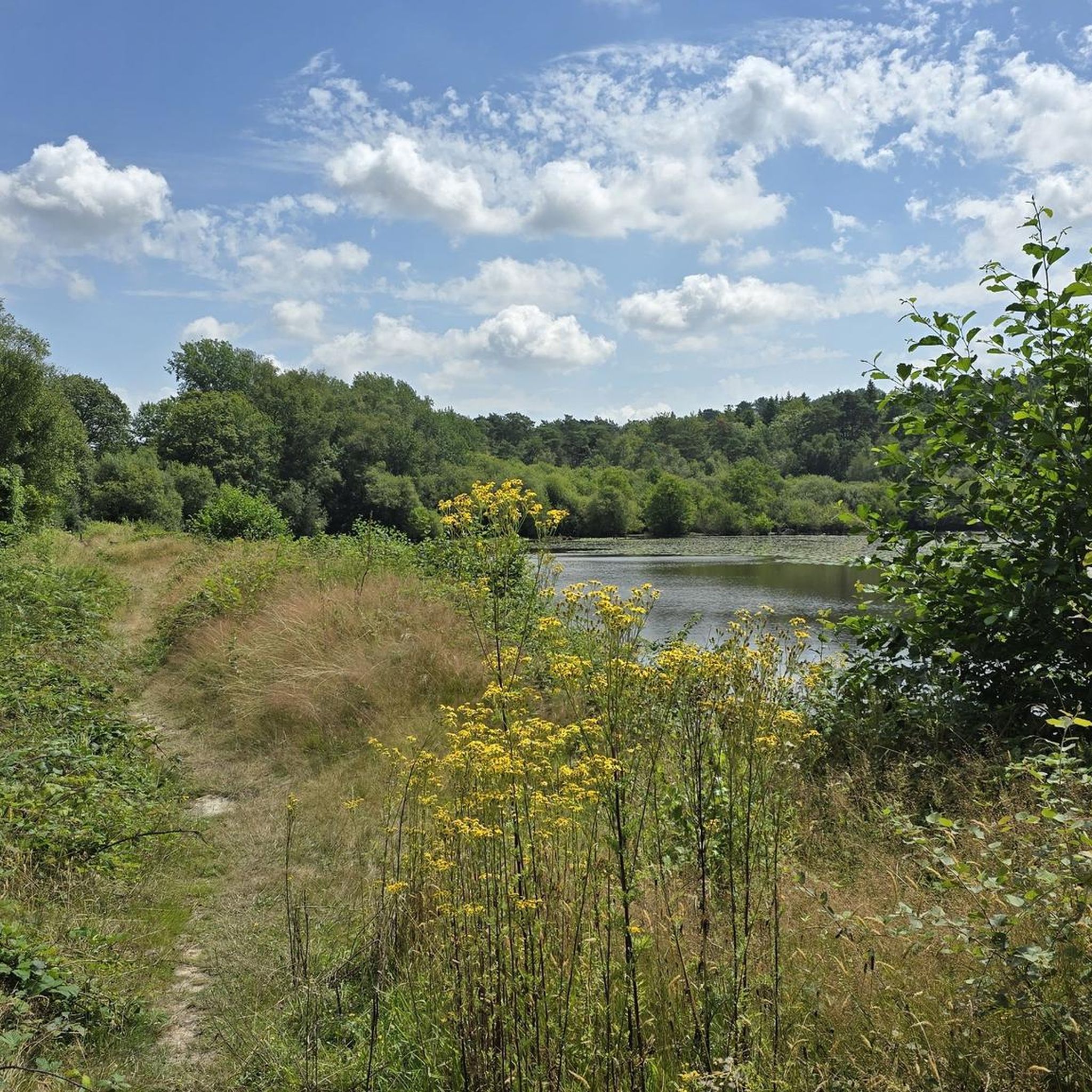
With a break at Lac Sillé, the route continues straight ahead for about 10 km. You don't get anything like that at home.
0
0

Far from the high Alpine passes, here is a small climb in the Sarthe countryside. On the program, 1.8 kilometers at an average of 4.5% coming from Montreuil-le-Chétif, or 2.1 kilometers at an average of 5.2% from Pezé-le-Robert.
3
0

Very nice rating, but very hard
0
0

Frequently Asked Questions
What kind of terrain can I expect for road cycling around Saint-Germain-De-Coulamer?
The region offers a diverse landscape, ideal for road cycling. You'll find a mix of rolling hills, dense forests, and river valleys, with elevations reaching up to 256 meters. This provides options ranging from gentle paths along waterways to more challenging ascents through the countryside, all within the unspoiled natural features of the Normandie-Maine Regional Natural Park.
How many road cycling routes are available in the Saint-Germain-De-Coulamer area?
There are over 230 road cycling routes available around Saint-Germain-De-Coulamer. These include 13 easy routes, 182 moderate routes, and 36 difficult routes, catering to various skill levels.
Are there any challenging climbs for experienced road cyclists?
Yes, experienced cyclists will find challenging climbs. The region features ascents like the Col de la Source, which offers gradients of 4.5% to 5.2% over 1.8 to 2.1 kilometers. For a longer, more demanding ride, consider the Mont rochard – Mount Rochard loop from Averton, a difficult 106.9 km route with over 1200 meters of elevation gain.
What natural features or viewpoints can I discover while cycling?
You can enjoy a variety of natural features and scenic viewpoints. Highlights include the tranquil Grand Pond of Sillé, surrounded by green forests, and the expansive vistas from the Butte de Narbonne view, offering panoramic views over St Leonard-des-Bois and Haute Forché. The region also features numerous lakes, such as Lake Izé, and dense forests.
Are there any historical sites or cultural landmarks along the routes?
Yes, the area around Saint-Germain-De-Coulamer is rich in cultural heritage. You can pass by charming villages and historical sites. For example, the Sainte-Suzanne Castle – Mont du Feu loop from Vimartin-sur-Orthe traverses varied terrain with views of historical sites. Nearby towns like Sillé-le-Guillaume and Fresnay-sur-Sarthe offer attractions such as an 11th-century chateau, a 13th-century collegiate church, and medieval castle remains.
What is the best time of year for road cycling in Saint-Germain-De-Coulamer?
The Pays de la Loire region generally offers pleasant cycling conditions from spring through autumn. Spring brings blooming landscapes, while summer is ideal for enjoying the lakes and outdoor activities. Autumn provides cooler temperatures and beautiful foliage. Always check local weather forecasts before your ride.
Are there any easier or moderate routes suitable for less experienced riders?
Absolutely. While there are challenging routes, Saint-Germain-De-Coulamer also offers many moderate and easy options. For a moderate ride with scenic views, consider the The Grand Pond of Sillé – Jouteau Pond loop from Mont-Saint-Jean, which is 26.5 km long. The region's river towpaths and greenways also provide traffic-free, easy rides.
What do other cyclists say about road cycling in this region?
The road cycling routes around Saint-Germain-De-Coulamer are highly rated by the komoot community, with an average score of 4.4 stars from over 15 reviews. Over 900 road cyclists have used komoot to explore the varied terrain, often praising the diverse scenery and well-maintained paths.
Can I find loop routes for road cycling?
Yes, many of the routes in the area are designed as loops, allowing you to start and finish in the same location. Examples include the Vallée d'Enfer – Perseigne Belvedere loop from Mont-Saint-Jean and the Col de la Croix de la Mare loop from Camping Uttopia.
Are there options for cycling along rivers or waterways?
Yes, the broader Mayenne department, where Saint-Germain-De-Coulamer is located, is known for its excellent cycling infrastructure along waterways. You can find 85 km of towpaths along the Mayenne River, offering incredibly scenic and easy rides through picturesque natural settings, often passing historic lock-keepers' houses. These are part of longer-distance cycleways like La Vélo Francette.
Where can I find more information about cycling in the Mayenne Valley?
For additional information on cycling infrastructure and routes in the wider Mayenne Valley, including the extensive network of towpaths and greenways, you can visit the official France Vélo Tourisme website: The Mayenne Valley by Bike.
Most popular routes around Saint-Germain-De-Coulamer
Most popular attractions around Saint-Germain-De-Coulamer

Get inspired with the komoot mobile app


Explore more
Browse the best Road cycling routes in other regions.
