The best walks and hikes around Saint-Céneri-Le-Gérei
4.6
(581)
3,194
hikers
104
hikes
Hiking around Saint-Céneri-Le-Gérei offers trails through the Normandie-Maine Regional Natural Park, characterized by rolling hills, river valleys, and woodlands. The landscape features a mix of open countryside and forested areas, providing varied terrain for outdoor activities. This region, known for its natural beauty, includes the Alpes Mancelles with their distinctive rocky cliffs and the scenic Sarthe River Valley. The area provides a range of elevations, from gentle riverside paths to more undulating routes through the park.
Best hiking trails around Saint-Céneri-Le-Gérei
- The most popular hiking route is St-Généri-le-Gérei — loop in the Normandie-Maine Regional Natural Park and Geopark, a 3.3 miles (5.3 km) trail that takes 1 hour 31 minutes to complete. This easy loop offers exploration through the natural park.
- Another top favourite among local hikers is Moulin de Trotté – Pont loop from Saint-Céneri-le-Gérei, a moderate 6.6 miles (10.6 km) path. This route features riverside sections and passes by historical mill sites.
- Local hikers also love the Pont loop from Saint-Céneri-le-Gérei, a 5.0 miles (8.0 km) trail leading through varied terrain with views of the Sarthe River, often completed in about 2 hours 14 minutes.
- Hiking around Saint-Céneri-Le-Gérei is defined by river valleys, rolling hills, and dense woodlands. The network offers options for different ability levels, from easy strolls to more challenging hikes.
- The routes in Saint-Céneri-Le-Gérei are highly rated by the komoot community with an average score of 4.7 stars from over 500 reviews. More than 3000 hikers have used komoot to explore Saint-Céneri-Le-Gérei's varied terrain.
Last updated: August 18, 2026
4.8
(42)
136
hikers
Easy hike. Great for any fitness level. Easily-accessible paths. Suitable for all skill levels.
4.8
(123)
665
hikers
15.8km
04:22
280m
280m
Moderate hike. Good fitness required. Easily-accessible paths. Suitable for all skill levels.

Sign up for free
4.9
(13)
90
hikers
5.55km
01:34
110m
110m
Easy hike. Great for any fitness level. Easily-accessible paths. Suitable for all skill levels.
5
hikers
Moderate hike. Good fitness required. Easily-accessible paths. Suitable for all skill levels.
5.0
(1)
5
hikers
Hard hike. Very good fitness required. Easily-accessible paths. Suitable for all skill levels.
Get access to more routes and recommendations from other explorers.
Sign up for free
Already have an account?
Our route recommendations are based on thousands of hikes, rides, and runs completed by other people on komoot.
Start today with a free account
Your next adventure awaits.
Login or Signup


Tips from the Community

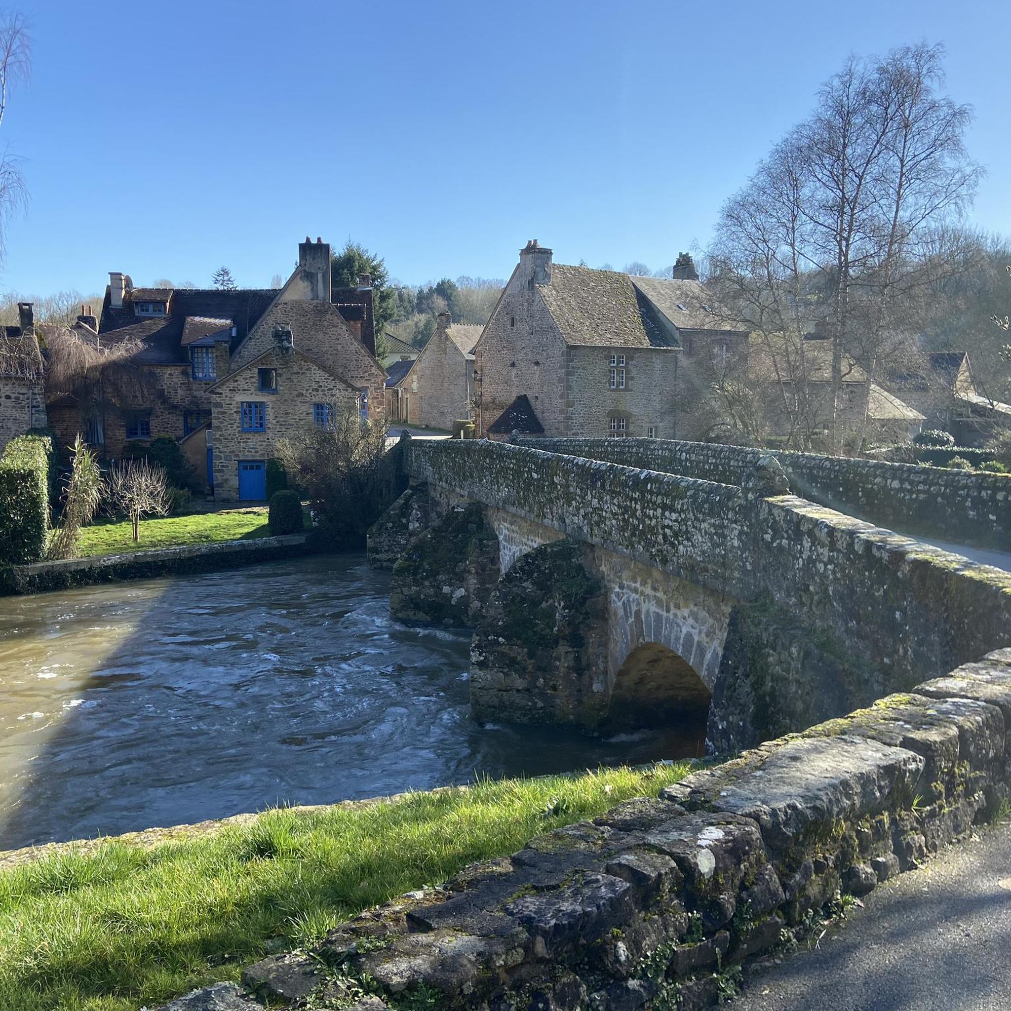
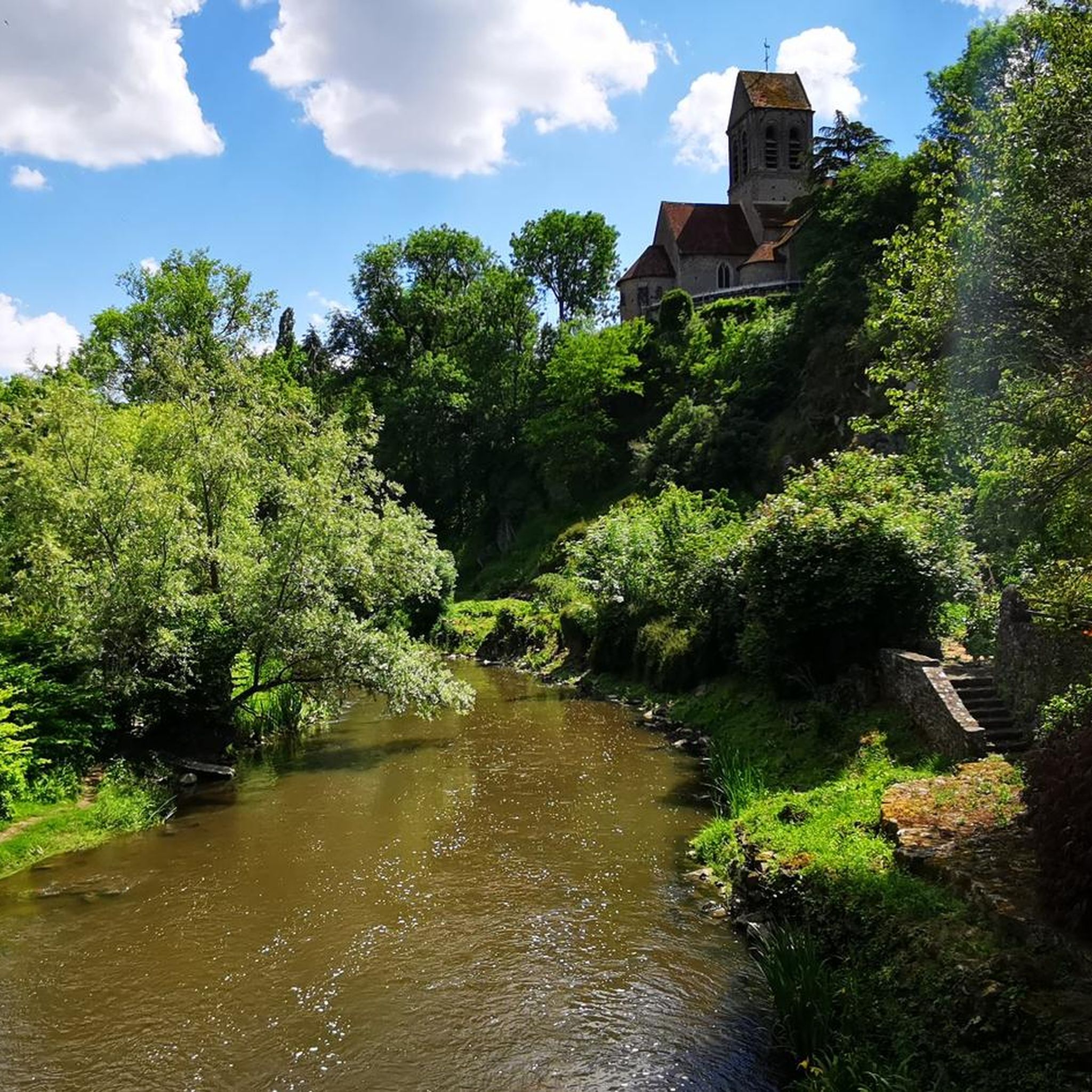
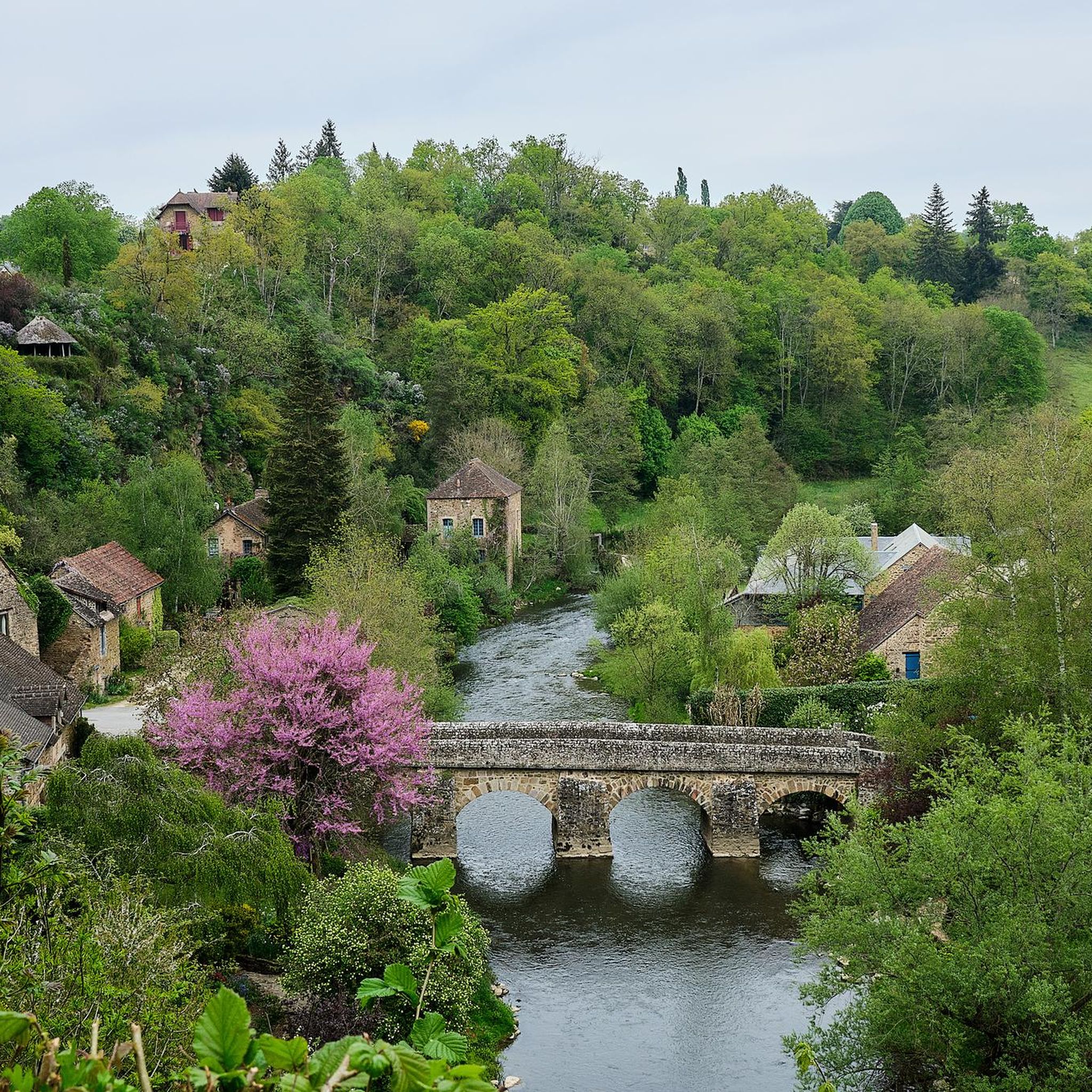
Beautiful spot! The bridge itself is an old stone arch bridge. Nice to see from the bank or with your feet in the water. On the bridge, a beautiful view in both directions over the Sarhte, over the church on the rock and towards the mill and the town itself. Nice information panel. The view towards Le Pont is also picturesque!
0
0
even though the route doesn't go from one bank to another, it's still worth taking the ferry. Just fun to do, but also beautiful views.
0
0

Free parking and starting point for the hike 10m away
0
0

A truly magnificent landscape
0
0

Very pretty place, nicely designed. Unfortunately, it's overcrowded with tourists. Perhaps a good stop on a hike.
0
0

very varied and pleasant hike
0
0


Beautiful little village. Would also have been ideal for hiking.
0
0
Frequently Asked Questions
How many hiking trails are available around Saint-Céneri-Le-Gérei?
There are over 100 hiking trails around Saint-Céneri-Le-Gérei, offering a wide range of options for all skill levels. These routes traverse the diverse landscapes of the Normandie-Maine Regional Natural Park.
What are the general difficulty levels of hikes in Saint-Céneri-Le-Gérei?
The trails around Saint-Céneri-Le-Gérei cater to various abilities. Approximately 38% are easy, 52% are moderate, and 10% are considered difficult, providing options from gentle strolls to more challenging treks through rolling hills and woodlands.
Are there any circular hiking routes in Saint-Céneri-Le-Gérei?
Yes, many routes in the area are circular. For example, the easy St-Généri-le-Gérei — loop in the Normandie-Maine Regional Natural Park and Geopark is a popular choice, as is the moderate View of St-Généri-le-Gérei loop from Saint-Céneri-le-Gérei, offering scenic viewpoints.
Are there family-friendly hiking options in Saint-Céneri-Le-Gérei?
Absolutely. Many of the easier, shorter loops are ideal for families. The St-Généri-le-Gérei loop, for instance, is an easy 3.3-mile (5.3 km) trail that takes about 1 hour 30 minutes, perfect for a family outing.
Can I hike with my dog in Saint-Céneri-Le-Gérei?
Yes, dogs are generally welcome on trails in the Normandie-Maine Regional Natural Park, but it's always best to keep them on a leash, especially in areas with livestock or protected wildlife. Please ensure you clean up after your pet.
What natural landmarks can I discover while hiking near Saint-Céneri-Le-Gérei?
The region offers several natural highlights. You can visit the Mont des Avaloirs viewpoint, which is the highest point in the French department of Mayenne, or explore the unique rock formations at Rochers du Sphinx.
Are there historical sites or picturesque villages to see on the trails?
Yes, the area is rich in history and charm. The village of Saint-Cénéri-le-Gérei itself is a classified 'Most Beautiful Village of France'. You might also encounter historical mill sites along routes like the Moulin de Trotté – Pont loop.
What is the best time of year to go hiking in Saint-Céneri-Le-Gérei?
Spring and autumn are generally the best times for hiking in Saint-Céneri-Le-Gérei. The weather is mild, and the natural scenery is particularly vibrant with spring blossoms or autumn foliage. Summer can also be pleasant, but it's advisable to start early to avoid the midday heat.
Where can I find parking for hiking trails in Saint-Céneri-Le-Gérei?
Parking is typically available in or near the village of Saint-Céneri-Le-Gérei, often close to the starting points of popular trails. Look for designated parking areas, especially near the church or local amenities.
Are there places to eat or drink near the hiking routes?
Saint-Céneri-Le-Gérei, being a picturesque village, offers a few local establishments where you can find refreshments or a meal. It's always a good idea to check opening hours, especially outside of peak season, or pack your own snacks and drinks.
What do other hikers say about the trails in Saint-Céneri-Le-Gérei?
The trails in Saint-Céneri-Le-Gérei are highly rated by the komoot community, with an average score of 4.7 stars from over 500 reviews. Hikers often praise the beautiful river valleys, the tranquility of the woodlands, and the well-maintained paths that offer varied terrain.
Are there any accessible trails for all abilities?
While many trails involve some elevation changes typical of the region's rolling hills, some of the flatter riverside sections or village paths may be more accessible. For specific accessibility needs, it's recommended to check individual route details for terrain and gradient information.
Most popular routes around Saint-Céneri-Le-Gérei
Most popular attractions around Saint-Céneri-Le-Gérei

Get inspired with the komoot mobile app


Explore more
Browse the best Hikes in other regions.
