The best road cycling routes around Saint-Gilles-De-Crétot
3.8
(104)
1,996
riders
203
rides
Road cycling routes around Saint-Gilles-De-Crétot traverse the gentle, rolling landscapes of the Normandy countryside. The region is characterized by a mix of agricultural fields, small villages, and historic sites. Road cyclists can expect varied terrain with moderate elevation changes, suitable for different fitness levels. The area offers a network of well-maintained roads connecting points of interest.
Best road cycling routes around Saint-Gilles-De-Crétot
- The most popular road cycling route is Abbaye Saint-Wandrille – Allouville Oak loop from Auberville-la-Campagne, a 31.1…
Last updated: July 5, 2026
35
riders
69.4km
02:52
450m
450m
Moderate road ride. Good fitness required. Mostly well-paved surfaces and easy to ride.
4.0
(1)
36
riders
61.2km
02:34
420m
420m
Moderate road ride. Good fitness required. Mostly well-paved surfaces and easy to ride.

Sign up for free
8
riders
51.6km
02:19
430m
430m
Moderate road ride. Good fitness required. Mostly well-paved surfaces and easy to ride.
9
riders
56.5km
02:31
460m
460m
Moderate road ride. Good fitness required. Mostly well-paved surfaces and easy to ride.
7
riders
14.8km
00:42
170m
170m
Easy road ride. Great for any fitness level. Mostly well-paved surfaces and easy to ride.
Get access to more routes and recommendations from other explorers.
Sign up for free
Already have an account?
Our route recommendations are based on thousands of hikes, rides, and runs completed by other people on komoot.
Start today with a free account
Your next adventure awaits.
Login or Signup



Tips from the Community

Now part of the Collection https://www.komoot.com/de-de/collection/3600632/-naturdenkmaeler-besondere-baeume-und-weitere-schaetze-der-natur
0
0


I loved it, it's a shame that once we got to 500m from the ferry we had to make a big detour by road to take the Quellebeuf ferry to get to Pont Audemer... but I'd do it again
0
0

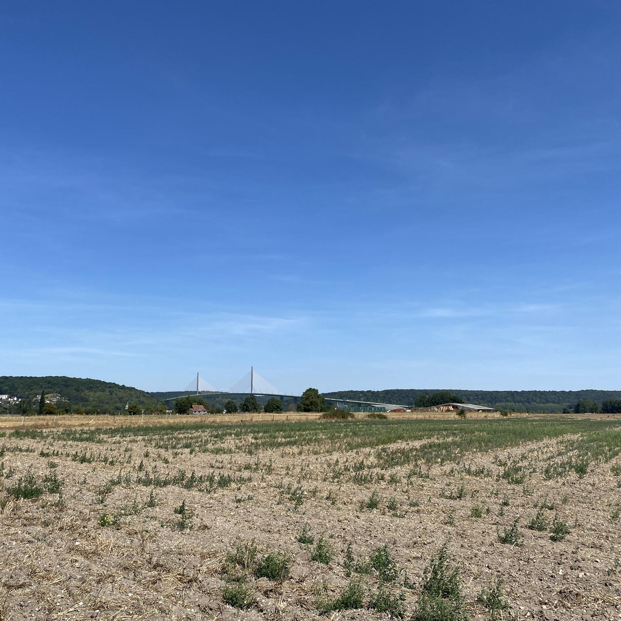
The bridge itself is magnificent and it is also the only one in the region with a large cycle path and light traffic.
0
0

Pay attention to the new bridge sector junctions
0
0


I've safely crossed the bike-tractor lane in the center of the road several times in both directions. I'm prone to vertigo, however, so I don't hesitate to cross it. (5 minutes for 2 km) However, in even moderately windy weather, I absolutely avoid it. The view is magnificent from every angle, both from the top and the side. On the other hand, my wife crosses it without any problem and appreciates the width of the very wide bike path (2.50 m), which is much safer than the Tancarville Bridge or the Normandy Bridge. (The path is almost nonexistent and strongly discouraged on this bridge: take the bus to cross it!)
0
0

small corner with picnic table
0
0
Frequently Asked Questions
How many road cycling routes are available around Saint-Gilles-De-Crétot?
There are over 220 road cycling routes in the Saint-Gilles-De-Crétot area, offering a wide range of options for different skill levels and preferences. The region's network of well-maintained roads connects agricultural fields, small villages, and historic sites.
Are there easy road cycling routes suitable for beginners in Saint-Gilles-De-Crétot?
Yes, Saint-Gilles-De-Crétot offers several easy road cycling routes. For instance, the Caudebec-en-Caux – Villequier loop from Caudebec-en-Caux is an easy 14.8 km path with moderate elevation changes, perfect for a relaxed ride through the scenic countryside.
What are some challenging road cycling routes for advanced cyclists in the region?
While the region is characterized by rolling hills, offering mostly moderate routes, there are a few more challenging options for advanced cyclists. These routes typically feature longer distances and more significant elevation gains, providing a good workout amidst the Normandy landscape.
Are there any family-friendly road cycling routes around Saint-Gilles-De-Crétot?
The region's gentle, rolling landscapes and network of quiet country roads make it suitable for family cycling. Look for routes designated as 'easy' or those with shorter distances, which often pass through charming villages or along less trafficked roads, providing a pleasant experience for all ages.
What kind of terrain can I expect on road cycling routes in Saint-Gilles-De-Crétot?
Road cycling routes around Saint-Gilles-De-Crétot traverse the gentle, rolling landscapes of the Normandy countryside. You can expect a mix of agricultural fields, small villages, and historic sites, with moderate elevation changes suitable for various fitness levels. The roads are generally well-maintained.
Are there circular road cycling routes available in Saint-Gilles-De-Crétot?
Yes, many of the road cycling routes in the area are circular, allowing you to start and end at the same point. An example is the Valasse Abbey – Valasse Abbey loop from Touffreville-la-Câble, a moderate 56.9 km route offering scenic views and passing by the historic Valasse Abbey.
What interesting landmarks or attractions can I see along the road cycling routes?
Many routes pass by significant historical and natural landmarks. You might cycle past the historic Abbaye Saint-Wandrille, the unique Allouville Oak, or the charming town of Caudebec-en-Caux. The Abbaye Saint-Wandrille – Allouville Oak loop from Auberville-la-Campagne connects several of these points of interest.
What do other road cyclists say about the routes in Saint-Gilles-De-Crétot?
The road cycling routes in Saint-Gilles-De-Crétot are highly rated by the komoot community, with an average score of 3.8 stars from over 110 reviews. Cyclists often praise the varied terrain, the quiet country roads, and the opportunity to explore historic sites and charming villages.
Are there routes that pass by historic châteaux or notable buildings?
Yes, the region is rich in history. The Allouville Oak – Château du Verbosc loop from Allouville-Bellefosse is a notable route that leads through rural landscapes and past a historic château, offering a glimpse into the local heritage.
What is the best season for road biking in Saint-Gilles-De-Crétot?
The spring and summer months (April to September) generally offer the most pleasant weather for road biking in Saint-Gilles-De-Crétot, with milder temperatures and longer daylight hours. However, the rolling landscapes can be enjoyed in early autumn as well, with beautiful fall foliage.
Are there any scenic viewpoints or particularly picturesque routes?
The entire region offers picturesque views of the Normandy countryside, characterized by its agricultural fields and charming villages. Routes that traverse the Seine Valley or pass through areas with higher elevation changes often provide expansive scenic vistas. The Victor Hugo Museum – Victor Hugo Museum loop from Anquetierville offers lovely rural scenery.
Most popular routes around Saint-Gilles-De-Crétot
Most popular attractions around Saint-Gilles-De-Crétot

Get inspired with the komoot mobile app


Explore more
Browse the best Road cycling routes in other regions.
