The best running trails around Mégevette
4.5
(68)
4,859
runners
278
runs
Jogging routes around Mégevette are set within the Haute-Savoie department, characterized by mountainous terrain and varied elevations ranging from 850 to 1,768 meters. The region features the upper Risse valley, surrounded by peaks such as Hirmentaz and Pointe de Miribel, offering diverse running conditions. Trails often traverse alpine pastures and connect various hamlets, providing a mix of ascents and more gentle paths. This landscape provides a range of running experiences, from challenging mountain routes to easier loops through the valley.
…Last updated: June 28, 2026
39
runners
9.33km
01:11
380m
380m
Hard run. Very good fitness required. Mostly paved surfaces. Suitable for all skill levels.
5.0
(1)
32
runners
7.10km
01:00
310m
310m
Hard run. Very good fitness required. Sure-footedness, sturdy shoes and alpine experience required.

Sign up for free
25
runners
11.9km
01:28
380m
380m
Hard run. Very good fitness required. Mostly paved surfaces. Suitable for all skill levels.
20
runners
19.4km
03:11
1,520m
1,520m
Hard run. Very good fitness required. Sure-footedness, sturdy shoes and alpine experience required.
16
runners
12.3km
01:56
730m
730m
Hard run. Very good fitness required. Sure-footedness, sturdy shoes and alpine experience required.
Get access to more routes and recommendations from other explorers.
Sign up for free
Already have an account?
Our route recommendations are based on thousands of hikes, rides, and runs completed by other people on komoot.
Start today with a free account
Your next adventure awaits.
Login or Signup


Tips from the Community

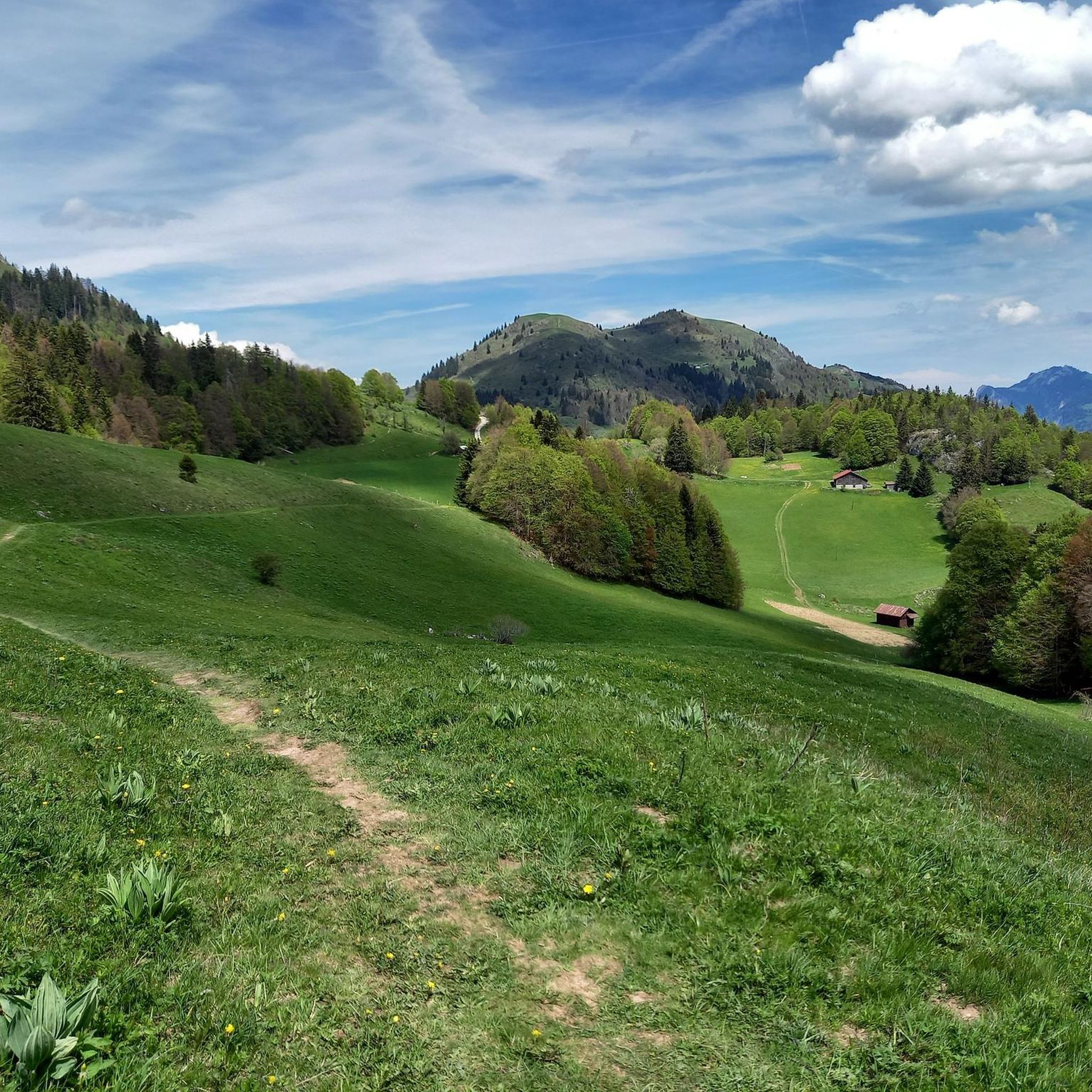
Here, the trail crosses a small hamlet made up of beautiful houses surrounded by pastures. Before heading into the forest, savor the open panorama of the surrounding mountains one last time.
0
0

This chapel, dedicated to Saint Bruno, founder of the Carthusian Order, was built on the remains of the former convent church of the Carthusian monastery of Sainte-Marie de Vallon[1]. In 1543, the Carthusians of Vallon were forced to leave their monastery, which was dismantled[1]. When they regained possession of their property in 1607, they found only ruins of the old charterhouse. Only a few sections of the walls remained standing[1]. After building their fortified house in Génicot[2] on the right bank of the Brevon (now on the lake), they erected a chapel in the part of the old charterhouse, in homage to Saint Bruno and in memory of the monks who preceded them. Since the walls of the choir of their former convent church and those of the sacristy had not collapsed, a nave surmounted by a wooden vault was built in 1651[3]. In 1793, it was sold as national property[3]. Abandoned by its new owners, it then passed to the Gougain family, along with the entire property known as "La chèvre"[1]. In 1833, the Carthusians returned to work repairing the walls and vault, redoing the roof, and installing a bell tower. Bishop Pierre-Joseph Rey inaugurated the renovated chapel during the summer of 1836[3]. It received various donations, including from Converset David François Marie[citation needed]. In 1847, it was finally transferred to the churchyard[1]. Processions would go there to pray for rain or good weather; but Bishop Louis Rendu banned these events in 1852[citation needed]. In 1855, it was burned to the ground. A violent wind blew as the Abbey building burned and burning embers set it alight in turn[1]. Nothing new remained except the walls. M Chappaz undertook a collection throughout the parish and had repairs carried out during 1856: plaster vault, roof, bell tower, gallery, floor, altar[3]. On July 11, 1857, the renovated chapel was blessed.
1
0


The climb up the winding path to Chapelle Saint-Bruno is rewarded with breathtaking panoramic views of Lac de Vallon and the surrounding mountains. This historic chapel, perched on top of a hill, with its peaceful interior, is a place where you can enjoy a serene atmosphere. Don’t forget to take the time to soak up the breathtaking view and listen to the soothing sounds of nature.
1
0

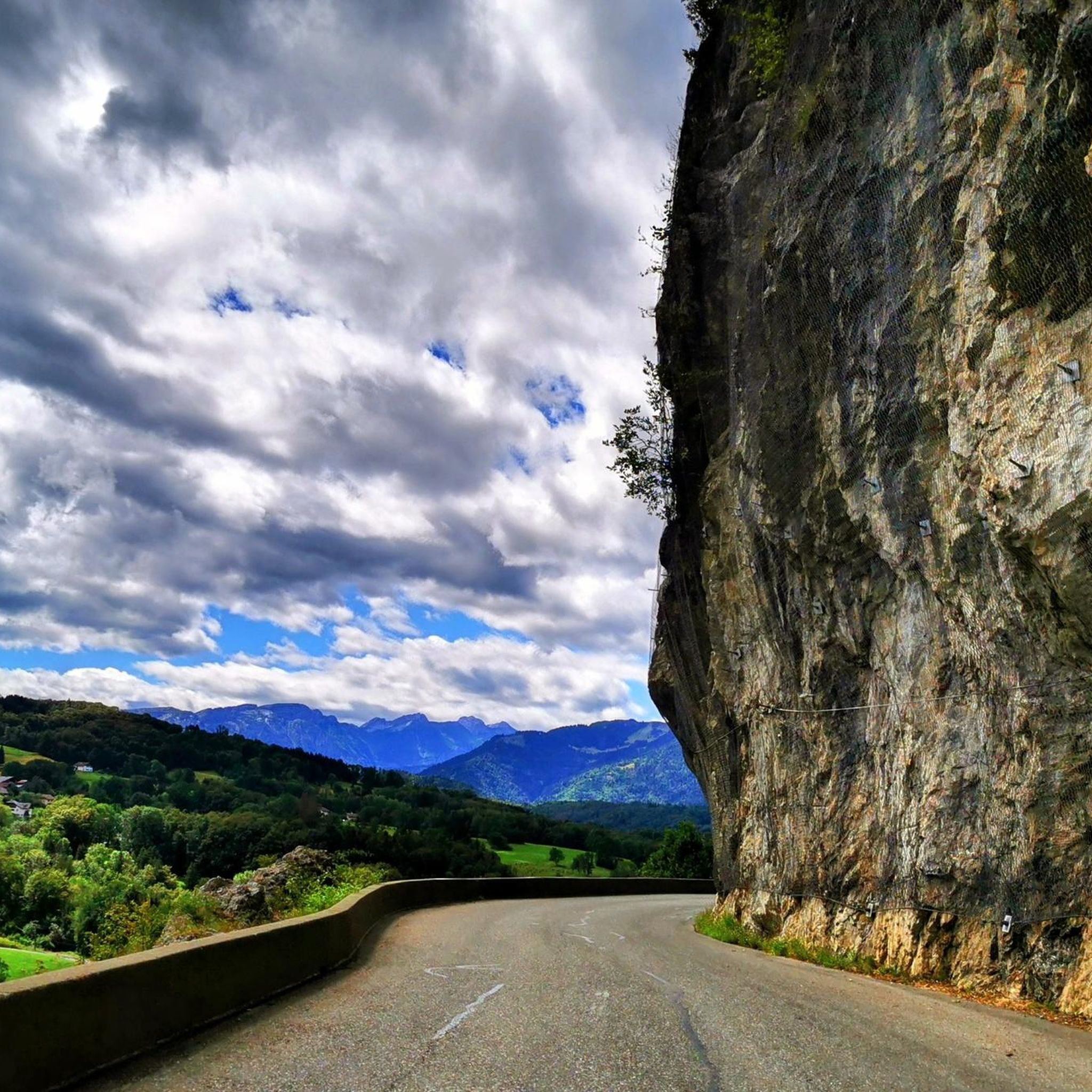
The Ajon climb is signposted from Villard. It is 7.3 kilometres long and has an average gradient of 8.3% with a passage at over 15%. At the top, the view at an altitude of 1,406 metres is delightful.
1
0

Steep ascent, many parts are steeper than 10%. In 2023, this climb was included in the Tour.
0
1

The Plaine Joux de Passy is 13.3 km long with a total drop of 756 m. The average gradient is 5.7% with maximum gradients of 15%.
2
1
Frequently Asked Questions
How many running routes are available around Mégevette?
Mégevette offers a wide variety of running experiences, with over 290 routes available. These range from easy loops to challenging mountain runs, catering to all fitness levels.
Are there easy or beginner-friendly jogging routes in Mégevette?
Yes, Mégevette has several easy running routes perfect for beginners or those looking for a gentle jog. There are 16 easy routes, such as the Running loop from Mégevette, which is just 2.6 km with minimal elevation gain. The "Tour des Oratoires de Mégevette" is also a very easy 6.1 km loop, allowing you to explore various hamlets and enjoy valley views.
What kind of terrain can I expect on running trails in Mégevette?
The running trails in Mégevette are characterized by diverse terrain. You'll find paths traversing alpine pastures, connecting various hamlets, and ascending mountainous slopes. The region's altitude varies significantly, from 850 to 1,768 meters, offering a mix of gentle paths in the valley and demanding ascents towards peaks like Hirmentaz and Pointe de Miribel.
Are there any circular running routes in the Mégevette area?
Yes, many of the running routes around Mégevette are circular, allowing you to start and finish in the same location. For example, the Col du Creux loop from Mégevette is a challenging 11.8 km circular path that incorporates mountain passes and varied terrain.
What natural features or landmarks can I see while jogging in Mégevette?
Mégevette's routes offer stunning natural beauty. You can encounter waterfalls like the Cascade de la Diomaz directly within the village. Many trails also pass by significant mountain passes such as Col de Cou or Jambaz Pass, providing panoramic views. Some routes, like the "Tour des Oratoires," also incorporate cultural stops at historically significant oratories.
Are there running routes with great views in Mégevette?
Absolutely. Mégevette is surrounded by mountains like Hirmentaz and Pointe de Miribel, offering breathtaking panoramic views of the valleys and alpine pastures. Routes such as Pointe de Miribel – Ascent to Plaine-Joux loop from Pointe de Miribel are known for their significant elevation gain and expansive mountain vistas.
What do other runners say about the trails in Mégevette?
The running routes in Mégevette are highly regarded by the komoot community, with an impressive average rating of 4.6 stars from over 60 reviews. Runners often praise the diverse terrain, the stunning alpine scenery, and the variety of options available for different skill levels.
Can I find running routes that are suitable for families in Mégevette?
Yes, Mégevette offers routes that can be enjoyed by families. The easier, shorter loops with minimal elevation, such as the 2.6 km Running loop from Mégevette, are well-suited for family outings. These routes allow for a pleasant experience without being overly strenuous.
Are there any specific cultural or historical points of interest along the running trails?
Beyond the natural beauty, some routes incorporate cultural stops. The "Tour des Oratoires" passes by several oratories, which are historically significant. The village's own Saint Nicolas church and the 13th-century Chapelle de Flérier also add points of interest that can be explored during or after your run.
What is the best time of year to go jogging in Mégevette?
Mégevette offers varied conditions throughout the year. Spring and autumn provide pleasant temperatures and vibrant landscapes, ideal for running. Summer is also popular, though higher altitudes can offer cooler air. Winter running is possible, but some trails may require specific gear due to snow and ice, especially at higher elevations.
Are there challenging running routes for experienced trail runners in Mégevette?
Mégevette is an excellent destination for experienced trail runners seeking a challenge. With 186 difficult routes, you'll find plenty of options with significant elevation changes and demanding terrain. Routes like La Pointe – Pointe de la Gay loop from Lac de Vallon, spanning 12.3 km with over 700 meters of ascent, provide a rigorous workout amidst mountainous landscapes.
Most popular routes around Mégevette
Most popular attractions around Mégevette

Get inspired with the komoot mobile app


Explore more
Browse the best Running Trails & Routes in other regions.
