The best walks and hikes around Oussoy-En-Gâtinais
4.3
(28)
159
hikers
34
hikes
Hiking around Oussoy-En-Gâtinais offers access to the diverse landscapes of the Gâtinais region, characterized by its mix of forests, agricultural lands, and distinctive sandstone formations. The area is situated near the expansive Forest of Orléans, providing numerous paths through woodlands. Several rivers and canals also contribute to the varied terrain, offering waterside trails.
Best hiking trails around Oussoy-En-Gâtinais
- The most popular hiking route is PR de Romaison E2 — Loop from Chailly-en-Gâtinais, a 6.4 miles (10.3 km) trail that…
Last updated: July 5, 2026
4.0
(1)
3
hikers
10.3km
02:38
40m
40m
Moderate hike. Good fitness required. Easily-accessible paths. Suitable for all skill levels.
3.7
(3)
3
hikers
12.4km
03:11
50m
50m
Moderate hike. Good fitness required. Easily-accessible paths. Suitable for all skill levels.

Sign up for free
5.0
(1)
4
hikers
6.97km
01:46
20m
20m
Easy hike. Great for any fitness level. Easily-accessible paths. Suitable for all skill levels.
4
hikers
5.73km
01:28
20m
20m
Easy hike. Great for any fitness level. Easily-accessible paths. Suitable for all skill levels.
5.0
(1)
3
hikers
7.36km
01:52
20m
20m
Easy hike. Great for any fitness level. Easily-accessible paths. Suitable for all skill levels.
Get access to more routes and recommendations from other explorers.
Sign up for free
Already have an account?
Our route recommendations are based on thousands of hikes, rides, and runs completed by other people on komoot.
Start today with a free account
Your next adventure awaits.
Login or Signup



Tips from the Community

Lock on the first part of the Orléans Canal, built in the 17th century. Beautifully flowered and well maintained. There is a picnic table there.
2
0
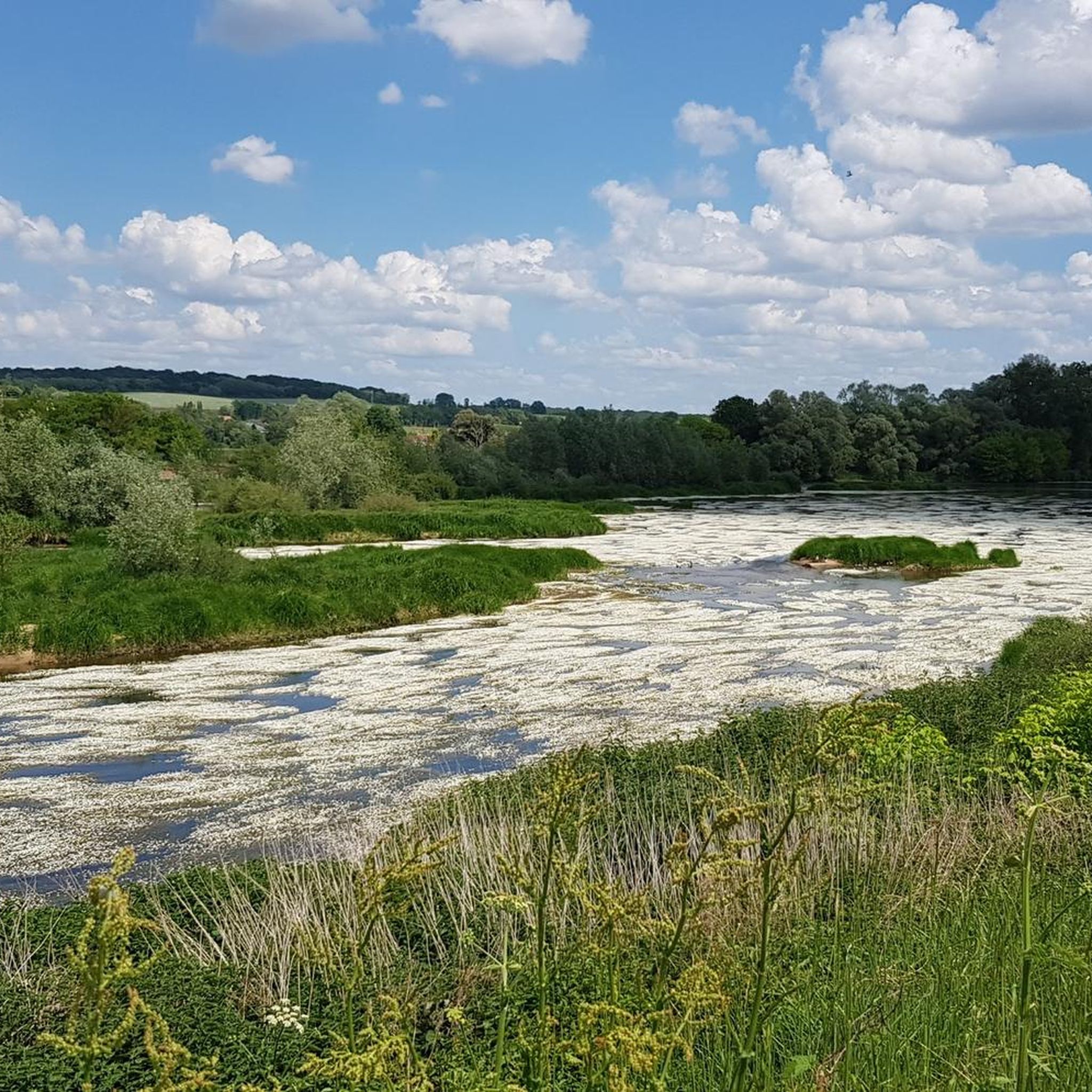
Pretty corner of nature where different rivers and ponds meet, the Menotte and the Courpalet and Lideuve channels.
0
0
Lock on the first part of the Orléans Canal, built in the 17th century. Beautifully flowered and well maintained. There is a picnic table there.
0
0
Frequently Asked Questions
What kind of terrain can I expect on hiking trails around Oussoy-en-Gâtinais?
The region is known for its diverse landscapes, often referred to as the 'country of a thousand clearings and sandstone.' You'll encounter a mix of extensive woodlands, agricultural lands, and distinctive sandstone formations. Many trails also feature sections along rivers and canals, offering varied scenery.
Are there easy hiking trails suitable for beginners or casual walkers?
Yes, Oussoy-en-Gâtinais offers a good selection of easy trails. For instance, the Étang du Gué l'Évêque loop from Lotissement les Grandes Bruyères is an easy 5.7 km route, and the Étang de la Motte loop from Lorris is another easy option, covering 7 km through woodlands.
What natural features or landmarks can I see while hiking in the area?
The region is rich in natural beauty and historical sites. You can explore parts of the vast Forest of Orléans, walk along the Loire River and its canals, or discover the unique sandstone formations of the Gâtinais Regional Natural Park. Historically, the 'PR de l'Etang Neuf' circuit passes by the impressive Château de Courtigis and the vestiges of the Motte Médiévale des Prés.
Are there any specific attractions or points of interest near the hiking routes?
Yes, beyond the natural landscapes, you can find several points of interest. The Bardin Mill and the Former Ursuline Convent are notable historical sites. For those interested in waterways, the Cycle Path Along the Canal de Briare offers scenic views and is accessible from various points.
What is the best time of year to go hiking in Oussoy-en-Gâtinais?
The Gâtinais region is pleasant for hiking throughout much of the year. Spring and autumn offer mild temperatures and beautiful scenery, with blooming flowers or vibrant fall foliage. Summer is also suitable, especially for shaded forest trails. Winter hiking is possible, though some paths might be muddy, and you should check local conditions.
Are there any circular hiking routes available?
Yes, many trails in the area are designed as loops. For example, the PR de Romaison E2 — Loop from Chailly-en-Gâtinais is a moderate 10.3 km circular route, and the Chailly Lock loop from Chailly-en-Gâtinais offers a longer 14.5 km option.
Can I bring my dog on the hiking trails in Oussoy-en-Gâtinais?
Generally, dogs are welcome on many trails in the Gâtinais region, especially in the extensive forest areas. However, it's always advisable to keep them on a leash, particularly in agricultural areas or near wildlife, and to check for specific restrictions in protected natural areas or on private land.
Are there family-friendly hiking options in Oussoy-en-Gâtinais?
Yes, the region offers several trails suitable for families. The easy-rated routes, such as the Étang de la Motte loop from Lorris, are good choices for walks with children, featuring relatively flat terrain and pleasant woodland scenery.
What do other hikers enjoy most about hiking in Oussoy-en-Gâtinais?
The area is highly rated by the komoot community, with an average score of 4.1 stars. Hikers often praise the peacefulness of the extensive forests, the variety of landscapes including clearings and waterways, and the well-maintained paths that make for an enjoyable outdoor experience.
Is public transport available to access hiking trailheads?
While Oussoy-en-Gâtinais is a rural area, public transport options might be limited directly to all trailheads. It's recommended to check local bus schedules for connections to Oussoy-en-Gâtinais or nearby towns like Lorris or Chailly-en-Gâtinais. Driving and parking at trailheads is often the most convenient option.
Where can I find parking for hiking trails in Oussoy-en-Gâtinais?
Parking is generally available in the village of Oussoy-en-Gâtinais itself, and at designated points near popular trailheads, especially those leading into the Forest of Orléans or near specific attractions. Look for small parking areas or roadside pull-offs at the start of marked circuits.
Are there any permits required for hiking in the Gâtinais Regional Natural Park?
For general hiking on marked trails within the Gâtinais Regional Natural Park, permits are typically not required. However, if you plan to visit specific sensitive natural areas or private estates, it's always a good idea to check local regulations or contact the regional park authority for any specific access rules.
What is the overall difficulty level of hikes in this region?
The hiking trails around Oussoy-en-Gâtinais primarily range from easy to moderate. There are 15 easy routes and 17 moderate routes listed, with no difficult trails, making the area accessible for a wide range of hikers. The terrain is generally gentle, with minimal elevation changes.
Most popular attractions around Oussoy-En-Gâtinais

Get inspired with the komoot mobile app


Explore more
Browse the best Hikes in other regions.
