The best walks and hikes around Lombreuil
4.2
(33)
193
hikers
19
hikes
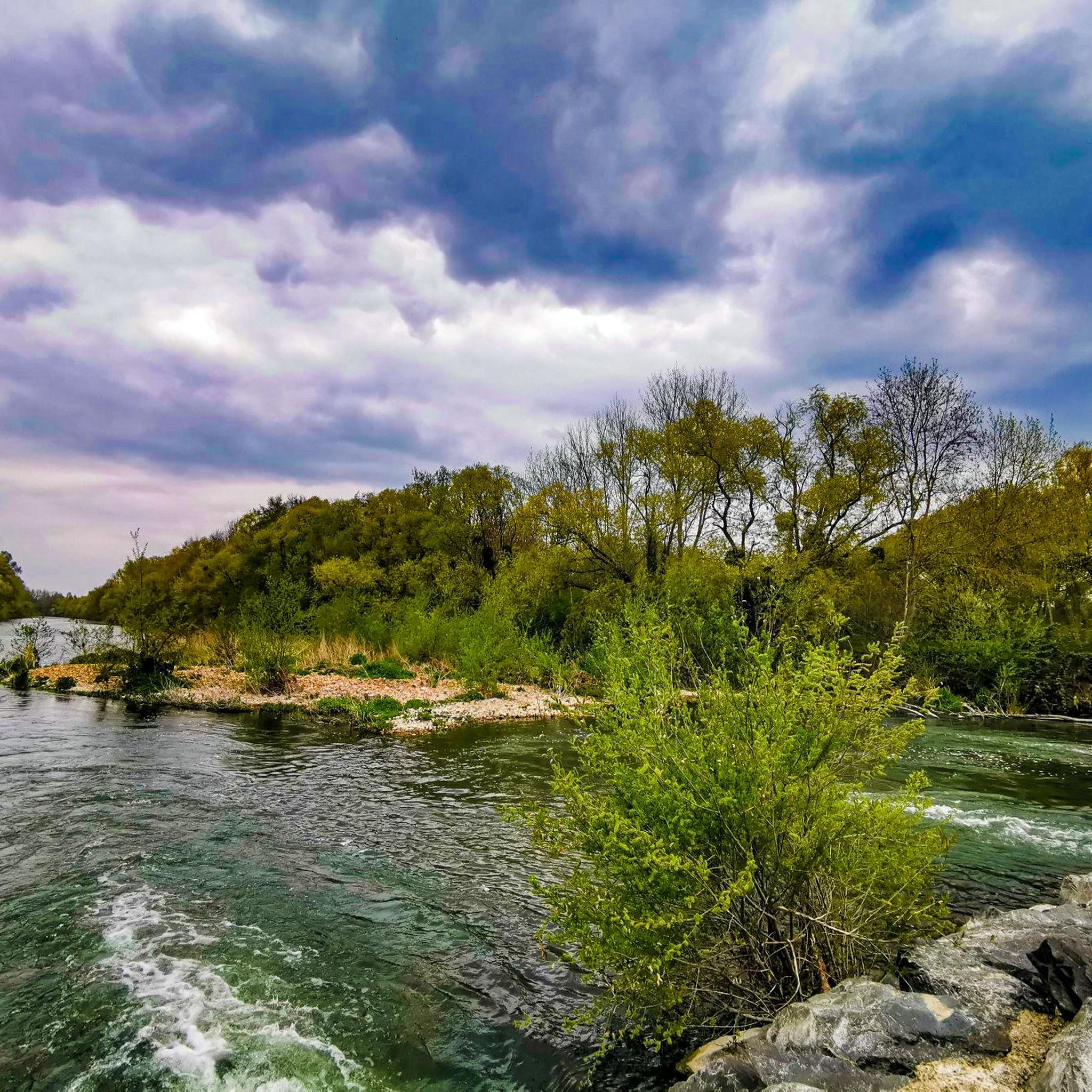
Hiking around Lombreuil offers exploration of the diverse landscapes within the Gâtinais region of France. The area is characterized by extensive woodlands and forests, interspersed with agricultural lands, creating a mosaic of open and shaded trails. Waterways, including the Canal d'Orléans, are prominent features, providing peaceful towpaths for walking. The terrain generally presents a relatively flat relief, making many routes accessible for various hiking levels.
Best hiking trails around Lombreuil
- The most popular hiking route is PR de Romaison E2…
Last updated: July 5, 2026
4.0
(1)
3
hikers
10.3km
02:38
40m
40m
Moderate hike. Good fitness required. Easily-accessible paths. Suitable for all skill levels.
5.0
(1)
19
hikers
3.79km
00:59
20m
20m
Easy hike. Great for any fitness level. Easily-accessible paths. Suitable for all skill levels.

Sign up for free
5.0
(2)
14
hikers
4.67km
01:11
20m
20m
Easy hike. Great for any fitness level. Easily-accessible paths. Suitable for all skill levels.
5.0
(1)
3
hikers
7.36km
01:52
20m
20m
Easy hike. Great for any fitness level. Easily-accessible paths. Suitable for all skill levels.
3
hikers
6.10km
01:33
10m
20m
Easy hike. Great for any fitness level. Easily-accessible paths. Suitable for all skill levels.
Get access to more routes and recommendations from other explorers.
Sign up for free
Already have an account?
Our route recommendations are based on thousands of hikes, rides, and runs completed by other people on komoot.
Start today with a free account
Your next adventure awaits.
Login or Signup


Tips from the Community

Montargis enchants visitors with its many canals and the charming streets of its old town. A former royal castle sits atop the local mountain. 👍
1
0
Montargis is also known as the "Venice of the Gâtinais." The gondola on Place Victor Hugo is a testament to this.
1
0
In addition to the Canal de Briare, the town of Montargis is crisscrossed by many smaller canals that meander between the houses.
3
0
In the former fishing district, you can now enjoy the sweet life in bars and restaurants.
3
0

Very beautiful hikes in a city to know, and without forgetting the Girodet museum with treasures to discover!!
1
0

Nicknamed the Venice of the Gâtinais, Montargit invites you to stroll along its canals and discover its 17 bridges and its beautiful houses along the water.
1
0
Frequently Asked Questions
Where is Lombreuil located and what kind of landscape can I expect?
Lombreuil is nestled within the picturesque Gâtinais region of France, often called the 'country of a thousand clearings and sandstone'. You'll find a diverse landscape featuring extensive woodlands and forests, interspersed with agricultural fields. Waterways, particularly the Canal d'Orléans, are prominent, offering peaceful towpaths. The terrain is generally flat, making it accessible for various hiking levels.
How many hiking trails are available around Lombreuil?
There are over 15 hiking routes available around Lombreuil, catering to various preferences. The komoot community has documented 17 distinct trails in the area.
What is the typical difficulty and terrain of hikes in Lombreuil?
The trails around Lombreuil are generally characterized by a relatively flat relief, making them accessible for a wide range of hikers. You'll find a mix of easy and moderate routes, with 7 easy and 10 moderate trails listed. The terrain often includes forest paths, agricultural tracks, and peaceful towpaths along waterways like the Canal d'Orléans.
Are there any circular hiking routes in the Lombreuil area?
Yes, many of the hiking routes around Lombreuil are circular, offering convenient starting and ending points. For example, the PR de Romaison E2 — Loop from Chailly-en-Gâtinais is a popular moderate loop, and the Canal d'Orleans loop from Chevillon-sur-Huillard offers an easy, scenic circular walk.
What natural features or landmarks can I see along the hiking trails?
The trails often lead through the region's characteristic woodlands, agricultural fields, and along the serene Canal d'Orléans. While hiking, you might encounter historical sites like the Former Ursuline Convent or the Bardin Mill. The nearby town of Montargis, known as the 'Venice of Gâtinais', also offers picturesque canals and bridges.
Are there family-friendly hiking options around Lombreuil?
Absolutely. Given the generally flat terrain and the presence of several easy routes, Lombreuil is well-suited for family hikes. Trails along the Canal d'Orléans, such as the Canal d'Orleans loop from Chevillon-sur-Huillard, are particularly gentle and offer pleasant waterside scenery for all ages.
Can I bring my dog on the hiking trails in Lombreuil?
While specific regulations can vary by trail or protected area, generally, dogs are welcome on leash on most public hiking paths in the Gâtinais region. The varied landscape of woodlands and open fields provides a great environment for walks with your canine companion. Always ensure to clean up after your dog and respect local signage.
What do other hikers enjoy most about the trails in Lombreuil?
The komoot community rates the trails around Lombreuil highly, with an average score of 3.8 stars from over 20 reviews. Hikers often praise the tranquil atmosphere, the diverse scenery of forests and fields, and the peaceful walks along the Canal d'Orléans. The accessibility of the routes for various fitness levels is also frequently appreciated.
What is the best time of year to hike in the Gâtinais region?
The Gâtinais region offers pleasant hiking conditions throughout much of the year. Spring brings blooming wildflowers and fresh greenery, while autumn showcases beautiful fall foliage in the extensive woodlands. Summer is also popular, with shaded forest trails providing respite from the sun. Winters are generally mild, allowing for crisp, quiet walks.
Are there any amenities or places to explore near Lombreuil after a hike?
Yes, the region offers charming villages and towns. The nearby town of Montargis, often called the 'Venice of Gâtinais', is a popular spot with its numerous bridges and canals, offering cafes, restaurants, and shops. Smaller villages in the vicinity also provide local charm and amenities.
Is public transport available to reach hiking trailheads around Lombreuil?
Public transport options directly to specific trailheads in rural areas like Lombreuil can be limited. It's advisable to check local bus schedules for connections to larger towns such as Montargis or Chevillon-sur-Huillard, from which some trails may be accessible. Driving or cycling to trail starting points often offers more flexibility.
Where can I find more information about the Lombreuil area?
For additional information about Lombreuil and the surrounding area, including local events and attractions, you can visit the official tourism website for the Loiret department: tourismeloiret.com.
Most popular attractions around Lombreuil

Get inspired with the komoot mobile app


Explore more
Browse the best Hikes in other regions.
