The best walks and hikes around Ouzouer-Des-Champs
4.0
(10)
56
hikers
14
hikes
Hiking around Ouzouer-Des-Champs offers exploration through diverse landscapes in the Loiret department of north-central France. The region is characterized by expansive forestlands, including the nearby Forest of Orléans, and picturesque waterside walks along the Puiseaux river. Tranquil ponds and rural countryside contribute to the scenic beauty, providing varied terrain for outdoor activities.
Best hiking trails around Ouzouer-Des-Champs
- The most popular hiking route is Butter Cross Trail (PR-E15), a 7.7 miles (12.4 km) trail that takes 3 hours 11 minutes to complete, winding through varied countryside.
- Another top favourite among local hikers is Chenevières Amphitheatre – The Loing loop from Montbouy, a moderate 10.0 miles (16.1 km) path, offering views along the Loing river.
- Local hikers also love the Moulin Bardin – Bardin Mill loop from Amilly, a 3.1 miles (5.0 km) trail leading through rural landscapes, often completed in about 1 hour 16 minutes.
- Hiking around Ouzouer-Des-Champs is defined by expansive forestlands, picturesque waterside paths, and tranquil ponds. The network offers options for different ability levels, from easy strolls to moderate excursions.
- The routes in Ouzouer-Des-Champs are highly rated by the komoot community with an average score of 4.3 stars from 8 reviews. More than 50 hikers have used komoot to explore Ouzouer-Des-Champs's varied terrain.
Last updated: July 5, 2026
3.7
(3)
3
hikers
12.4km
03:11
50m
50m
Hike the 7.7-mile PR de la Croix au Beurre (E15) loop near Montereau, featuring forests, prairies, and historical waterways.
5
hikers
12.1km
03:05
40m
40m
Moderate hike. Good fitness required. Easily-accessible paths. Suitable for all skill levels.

Sign up for free
4.0
(2)
8
hikers
3.13km
00:47
0m
0m
Easy hike. Great for any fitness level. Easily-accessible paths. Suitable for all skill levels.
5.0
(1)
4
hikers
16.7km
04:16
60m
60m
Moderate hike. Good fitness required. Easily-accessible paths. Suitable for all skill levels.
2
hikers
10.4km
02:40
40m
40m
Moderate hike. Good fitness required. Easily-accessible paths. Suitable for all skill levels.
Get access to more routes and recommendations from other explorers.
Sign up for free
Already have an account?
Our route recommendations are based on thousands of hikes, rides, and runs completed by other people on komoot.
Start today with a free account
Your next adventure awaits.
Login or Signup

Tips from the Community


South of Nemours, there are about 15km of unpaved track. After these 15km, it is paved and of good quality until Briare I think (we stopped at Chatillon-Coligny).
1
1

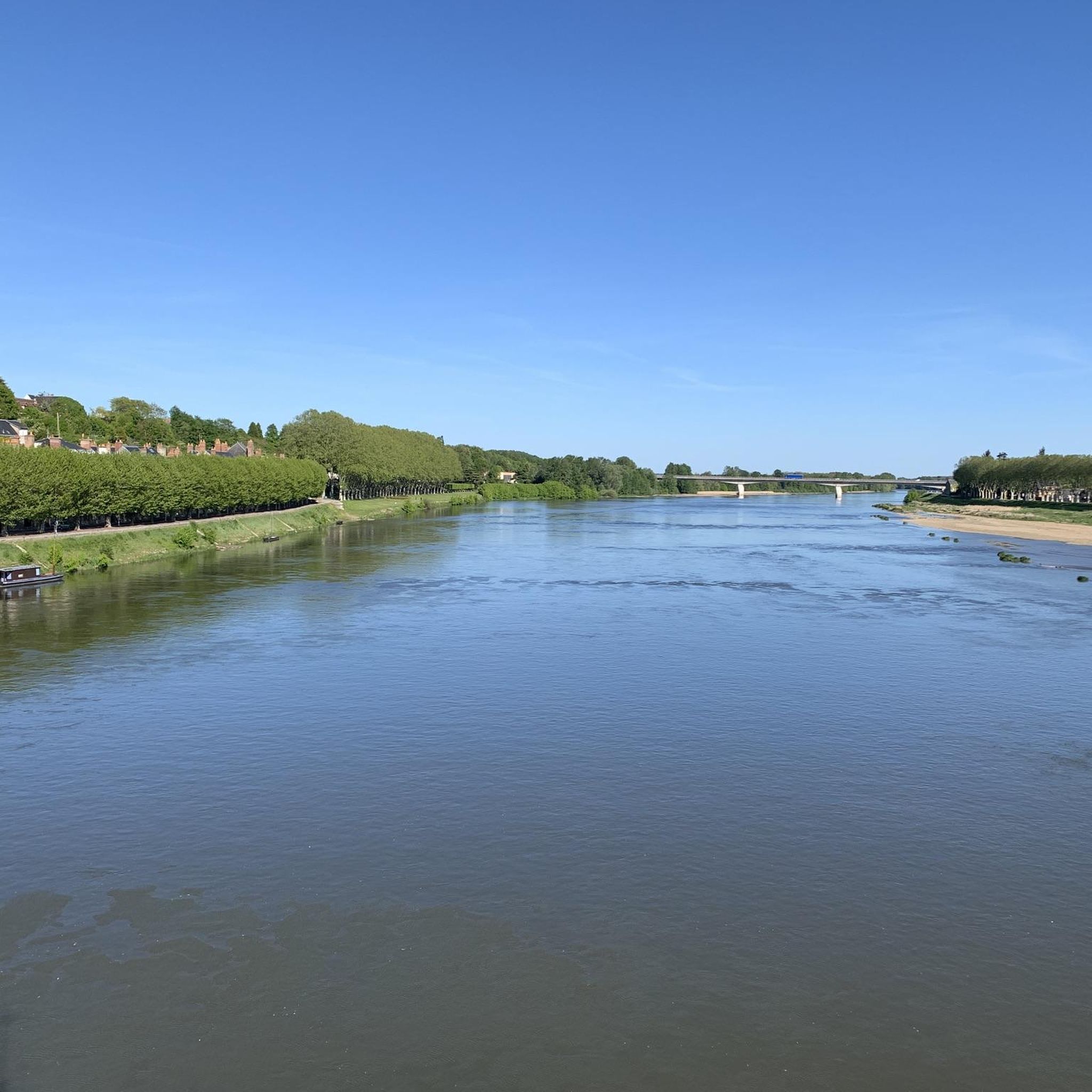
On the banks of the Loing, near Montbouy, you will be transported to a bygone era. This picturesque river, with its tranquil waters and lush greenery, offers a peaceful escape from the hustle and bustle of city life. You can admire the historic bridge, the charming church and the avenue of trees.
0
0

Notre-Dame Church decorated with many remarkable stained glass windows
0
0
Church of Notre Dame and Saint-Blaise in the charming village of Montbouy, which offers a stopover for cycle tourists, but without water or electricity...
0
0

In the 5th century there was a large Gallo-Roman thermal site at this location. This amphitheater, a place of entertainment which could accommodate up to 4000 people, is the last vestige.
0
0

La Maison Prodigieuse, located at lock 26 of the Briare Canal, is a former lock keeper's house, beautifully restored. Nestled along the canal, this house offers unusual and comfortable accommodation, perfect for a quiet getaway.
0
0
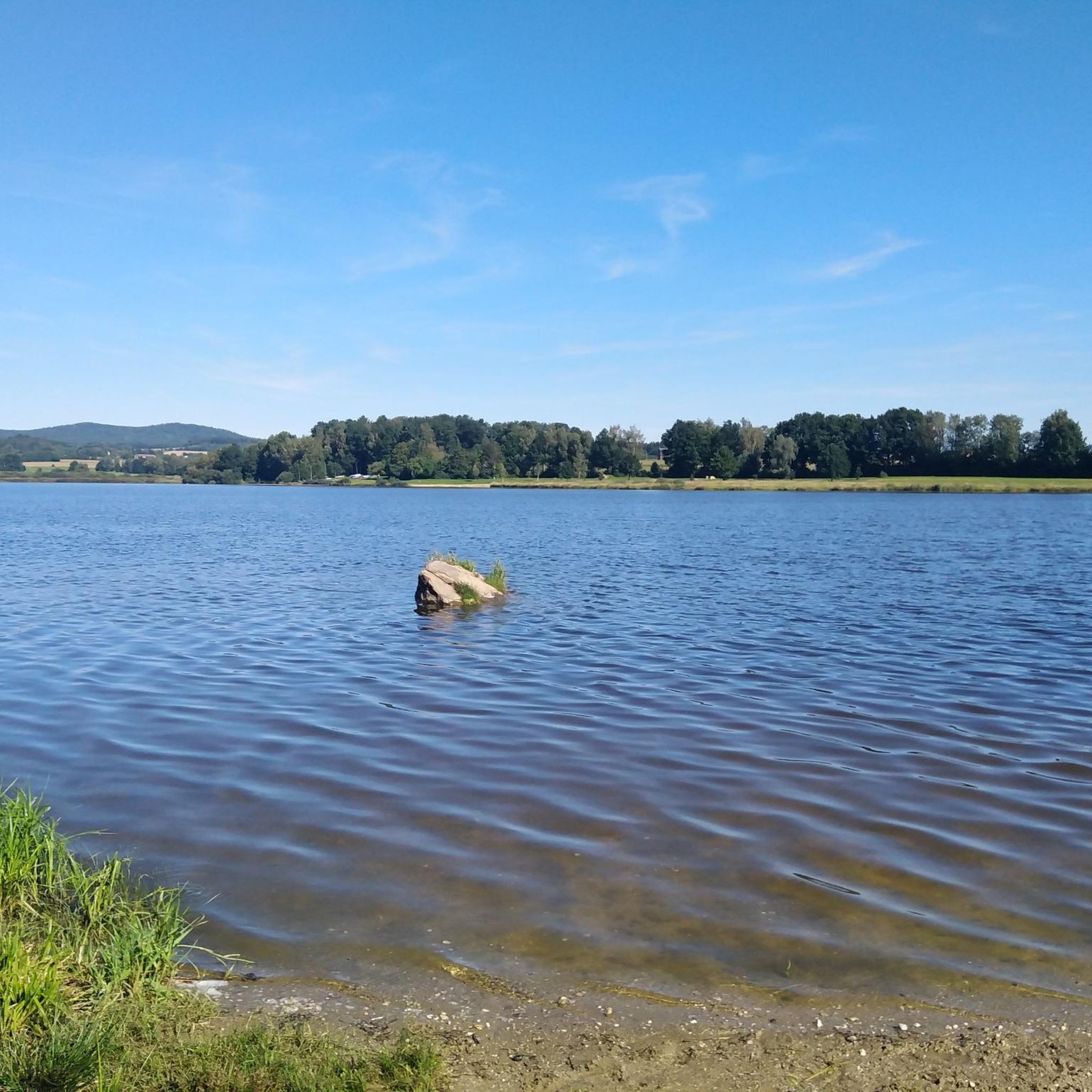
Pretty corner of nature where different rivers and ponds meet, the Menotte and the Courpalet and Lideuve channels.
0
0
Frequently Asked Questions
How many hiking trails are available around Ouzouer-des-Champs?
There are over 10 hiking routes documented on komoot for the Ouzouer-des-Champs area, offering a variety of experiences for different skill levels. These trails explore the diverse landscapes of the Loiret department, from forestlands to riverside paths.
What is the best time of year to go hiking in Ouzouer-des-Champs?
The Loiret region, including Ouzouer-des-Champs, is beautiful throughout the year. Spring and autumn offer pleasant temperatures and vibrant scenery, ideal for exploring the forestlands and riverbanks. Summer is also suitable, though it can be warmer, while winter provides a quieter, serene experience, especially in the Forest of Orléans.
Are there family-friendly hiking options in Ouzouer-des-Champs?
Yes, Ouzouer-des-Champs offers several easy hiking routes suitable for families. For example, the Moulin Bardin – Bardin Mill loop from Amilly is an easy 5 km (3.1 miles) trail that can be completed in just over an hour, perfect for a leisurely family outing through rural landscapes.
Are the hiking trails around Ouzouer-des-Champs dog-friendly?
Many trails in the Ouzouer-des-Champs area, particularly those through the countryside and forest, are generally dog-friendly. It's always recommended to keep dogs on a leash, especially near wildlife or agricultural areas, and to check local signage for any specific restrictions.
Are there circular hiking routes available in Ouzouer-des-Champs?
Yes, many of the routes around Ouzouer-des-Champs are designed as loops, allowing you to start and end at the same point. An example is the Étang de Nogent sur Vernisson loop from Nogent-sur-Vernisson, a moderate 12 km (7.5 miles) trail that offers a complete circuit around the scenic pond.
What can I see along the hiking trails around Ouzouer-des-Champs?
Hikers can enjoy diverse natural beauty, including the picturesque Puiseaux river, tranquil ponds, and expansive forestlands like the nearby Forest of Orléans. You might also encounter charming rural landscapes and historical features such as the Bardin Mill or sections of the Briare Canal, like the La Maison Prodigieuse – Lock 26 of the Briare Canal.
Are there hiking opportunities beyond Ouzouer-des-Champs, in the wider Canton of Lorris?
Absolutely. While Ouzouer-des-Champs has its own trails, the broader Canton of Lorris offers additional hiking opportunities, with detailed guides often available from the Lorris Tourist Office. The vast Forest of Orléans, particularly the Massif de Lorris, is also easily accessible and provides numerous routes for exploration.
What do other hikers enjoy the most about hiking in Ouzouer-des-Champs?
The area is highly rated by the komoot community, with an average score of 4.3 stars from 8 reviews. Hikers often praise the serene countryside, the peaceful waterside paths along the Puiseaux river, and the varied terrain that offers both easy strolls and more moderate excursions through expansive forestlands.
Is parking available near the trailheads in Ouzouer-des-Champs?
While specific parking details for each trailhead are best checked on individual route pages, Ouzouer-des-Champs and its surrounding villages typically offer public parking options. It's advisable to look for designated parking areas in village centers or near popular starting points for trails.
How can I reach Ouzouer-des-Champs by public transport?
Ouzouer-des-Champs is a rural commune in the Loiret department. Public transport options directly to the village may be limited. It is generally recommended to travel by car to access the hiking trailheads, though regional bus services might connect to larger nearby towns like Montargis, from which further local transport or a taxi might be needed.
Are there any easy hiking trails for beginners around Ouzouer-des-Champs?
Yes, there are several easy trails perfect for beginners or those looking for a relaxed walk. An example is the Étang de Nogent sur Vernisson loop from Montargis, an easy 3.1 km (1.9 miles) path with minimal elevation gain, offering a pleasant stroll around the pond.
What kind of landscapes can I expect on a hike in Ouzouer-des-Champs?
Hiking in Ouzouer-des-Champs offers a rich tapestry of landscapes. You can expect to traverse expansive forestlands, enjoy picturesque waterside walks along the Puiseaux river, discover tranquil ponds, and pass through charming rural countryside. The varied topography ensures each hike provides a unique perspective of the region's natural splendor.
Most popular attractions around Ouzouer-Des-Champs

Get inspired with the komoot mobile app


Explore more
Browse the best Hikes in other regions.
