The best road cycling routes around Levier
4.5
(43)
965
riders
21
rides
Road cycling around Levier offers varied terrain within the Doubs department of Bourgogne-Franche-Comté. The region is characterized by rolling hills and forests, with elevations ranging from 2,228 to 2,956 feet (679 to 901 meters). Cyclists can expect mostly paved surfaces, encountering natural features such as gorges and lakes that contribute to diverse topographical experiences.
Best road cycling routes around Levier
- The most popular road cycling route is On the route of the fir trees — Loop from Levier, a…
Last updated: May 15, 2026
3.0
(1)
10
riders
69.1km
03:51
1,170m
1,170m
Hard road ride. Very good fitness required. Mostly well-paved surfaces and easy to ride.
17
riders
55.9km
02:46
850m
850m
Moderate road ride. Good fitness required. Mostly well-paved surfaces and easy to ride.

Sign up for free
17
riders
65.4km
02:57
620m
620m
Moderate road ride. Good fitness required. Mostly well-paved surfaces and easy to ride.
15
riders
68.0km
03:02
690m
690m
Moderate road ride. Good fitness required. Mostly well-paved surfaces and easy to ride.
5.0
(1)
9
riders
42.1km
01:59
550m
550m
Moderate road ride. Good fitness required. Mostly well-paved surfaces and easy to ride.
Get access to more routes and recommendations from other explorers.
Sign up for free
Already have an account?
Our route recommendations are based on thousands of hikes, rides, and runs completed by other people on komoot.
Start today with a free account
Your next adventure awaits.
Login or Signup

Tips from the Community

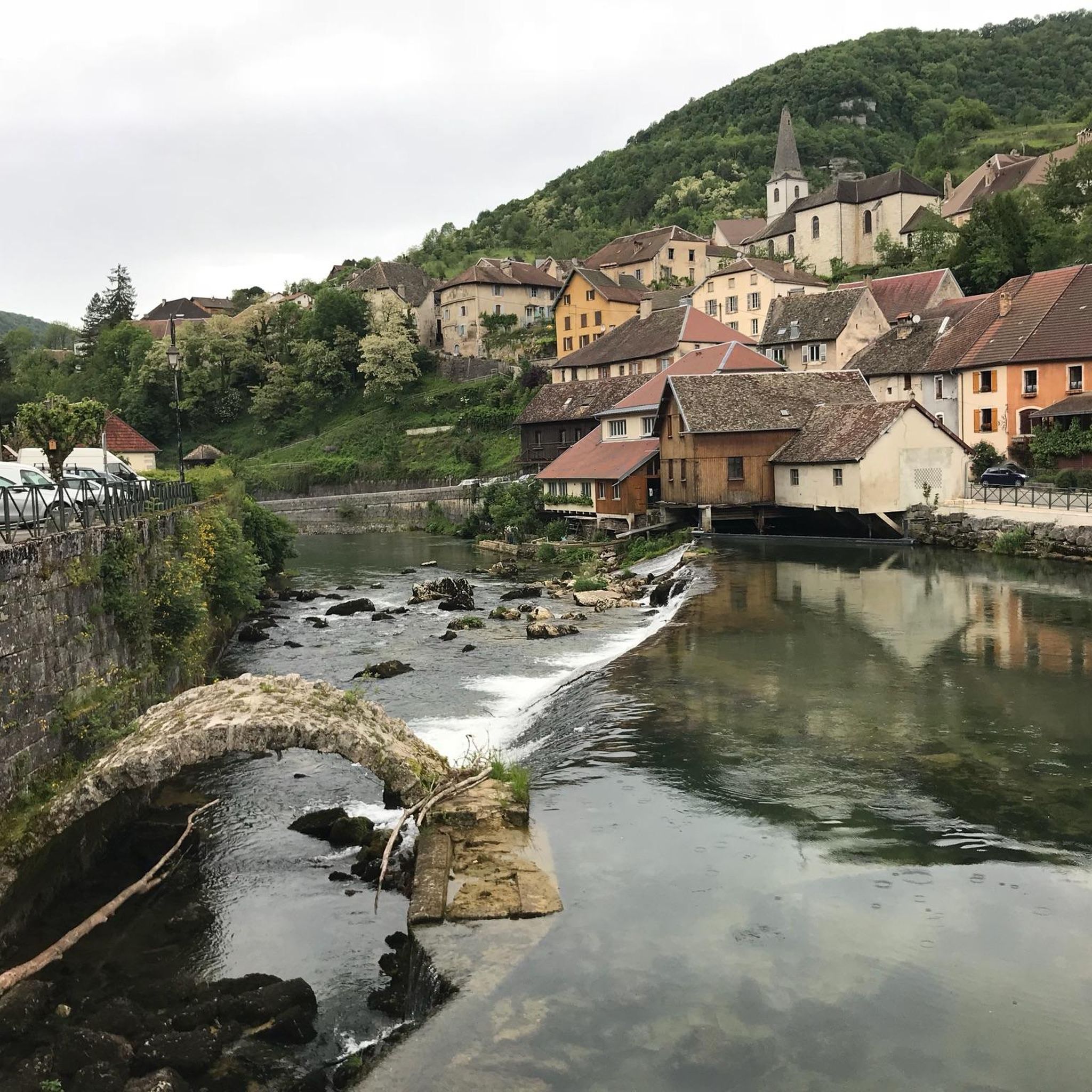
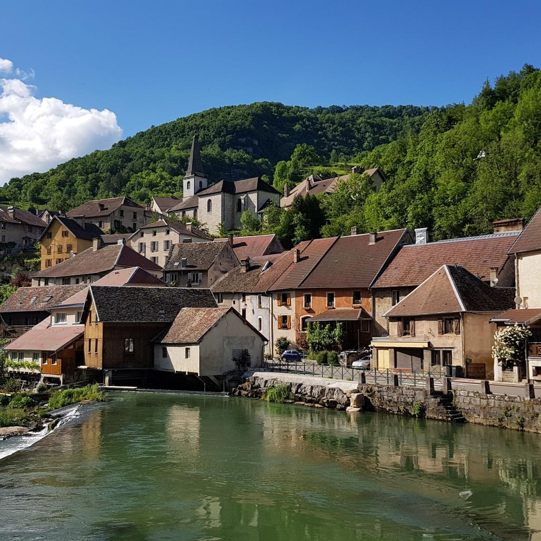
Typically picturesque, worth seeing French town
0
0


This Green Way is a pleasant gentle slope in the middle of the forest, with smooth asphalt
0
0

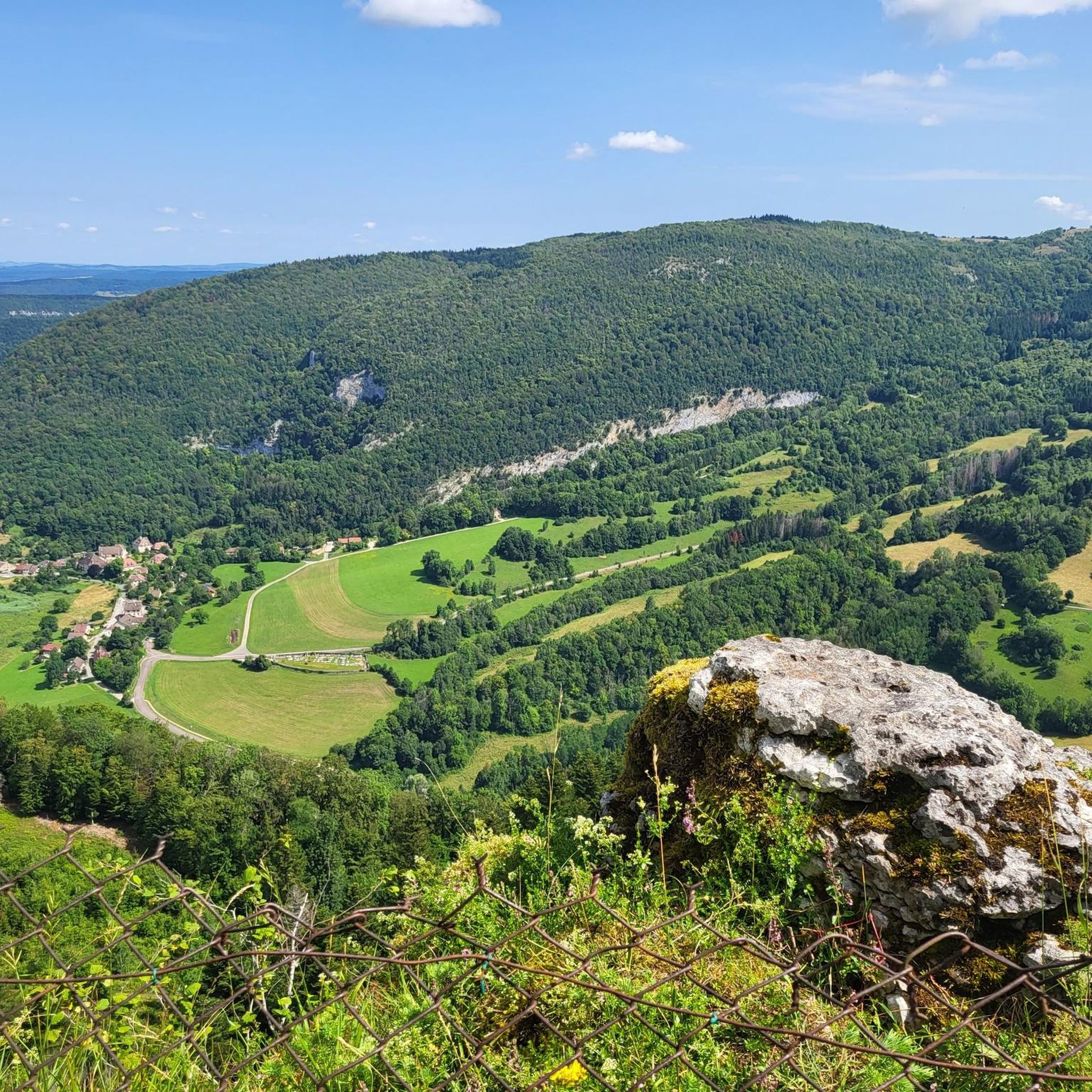
The village of Nans-sous-Sainte-Anne is remarkable for the scale of its landscapes, the rhythm of the mountains and depressions. It knows how to combine in a restricted space the charm of the foliage and the fir trees with the austerity of the rock walls, the impetuosity of the waterfalls with the intimacy of the undergrowth, the mystery of the caves with the picturesqueness of the belvederes.
1
0

This chapel was built in 1863, following an apparition of the Virgin Mary on April 3, 1803. According to legend, a young girl found an old statue from the time of Louis 14 in the tree in front of which Mary appeared to her. This "holy oak" was felled a few decades after the apparition, and the statue now stands in the church. Below the chapel on the street, a bronze statue commemorates the place where the oak was and where the apparition is said to have taken place. Next to the chapel there is now a pilgrims' hostel that tells the story of the network of the Via Franzigena.
1
0


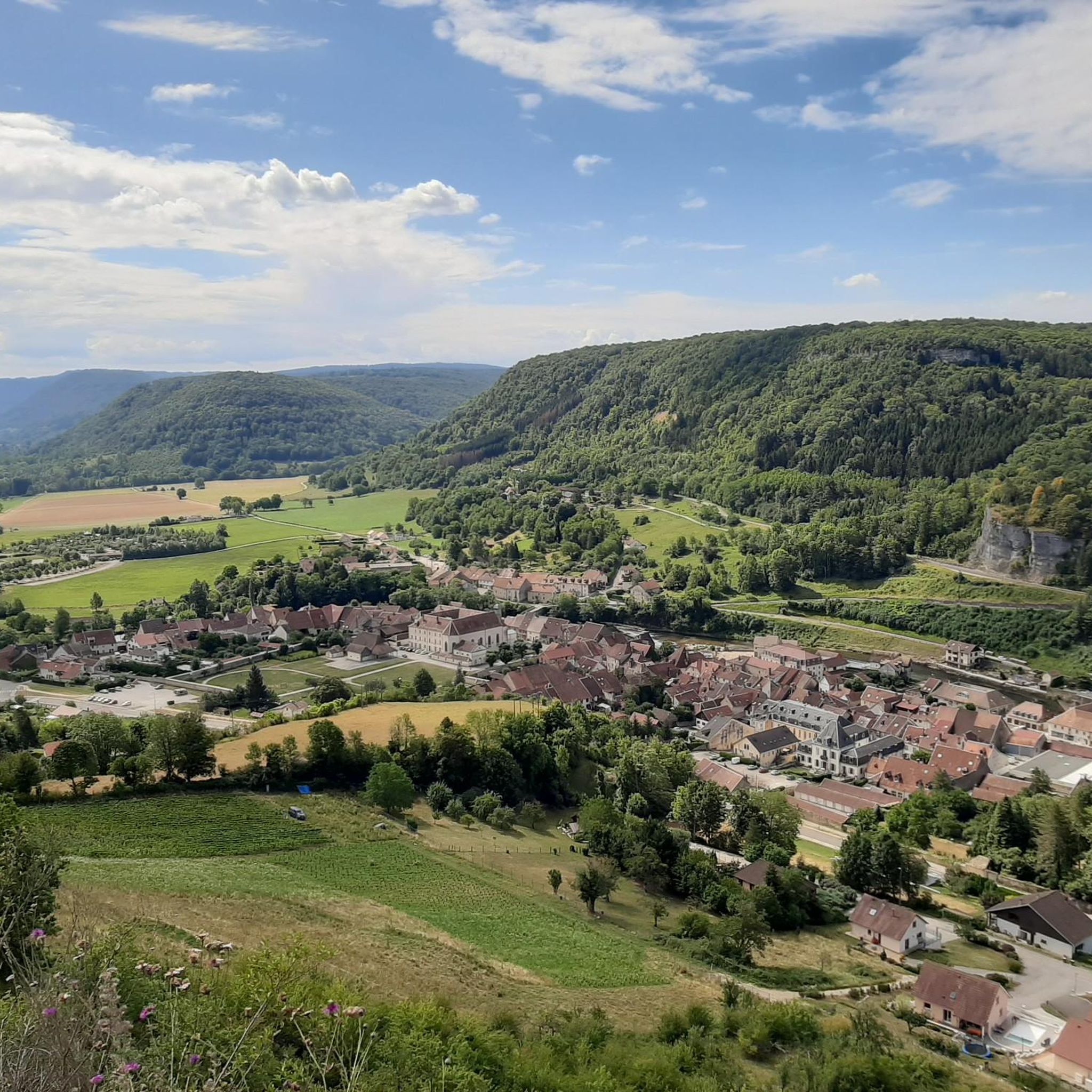
Failing to visit, since it is private, the Château de Cléron can be admired from the heights of Cléron, but also from its gardens. This medieval castle has been restored and offers observers a keep, machicolations, loopholes and stunners in excellent condition.
2
0

This castle was built in 1320 by Humbert de Cléron, vassal of the Count of Burgundy, to protect the Loue ford on the great salt road of Franche-Comté. Modified and enlarged in the 15th and 18th centuries, the castle still retains its medieval defenses. Open Tuesday to Sunday from 2:30 p.m. to 6 p.m. (from 01/07 to 31/08, garden only, interior cannot be visited). Ticket price - 3 euros.
2
0
Frequently Asked Questions
What are the different difficulty levels for road cycling routes around Levier?
Levier offers a range of road cycling routes catering to various fitness levels. You'll find 3 easy routes, 17 moderate routes, and 2 difficult routes, providing options for beginners to experienced cyclists.
Are there many loop road bike trails available in Levier?
Yes, many of the road cycling routes around Levier are designed as loops, allowing you to start and finish in the same location. For example, the View of the Marshes – Along Lac de Saint Point loop from Levier is a popular moderate loop covering about 80 km.
What natural features or scenic viewpoints can I expect to see on road cycling routes near Levier?
The region around Levier is rich in natural beauty. You can expect to encounter dramatic formations like the Gorges de Noailles, serene lakeside views around Lac de Saint-Point, and extensive forested areas. The varied elevation also provides opportunities for scenic vistas, such as the Renédale Viewpoint.
What is the typical duration and distance for road cycling routes in Levier?
Road cycling routes in Levier vary significantly in length and duration. You can find rides ranging from under two hours to over five hours. Distances typically range from around 40 km to over 80 km, with elevation gains from 500 ft to over 1500 ft, offering diverse topographical experiences.
Are there any family-friendly road cycling routes around Levier?
While many routes involve significant elevation, there are 3 easy road cycling routes available in Levier. These routes are generally shorter and have less demanding climbs, making them more suitable for families or those looking for a more relaxed ride.
When is the best time of year to go road cycling in Levier?
The best time for road cycling in Levier is typically during the warmer months, from late spring to early autumn. During this period, the weather is generally more favorable, and the natural landscapes, including forests and lakes, are at their most vibrant. Winter cycling might be challenging due to colder temperatures and potential snow in higher elevations.
What kind of terrain can I expect on road cycling routes in Levier?
Road cycling in Levier is characterized by rolling hills and varied elevation, ranging from 679 to 901 meters (2,228 to 2,956 feet). Routes are mostly on paved surfaces, winding through forests and offering views of natural features like gorges and lakes. Expect a mix of climbs and descents that provide both challenge and scenic rewards.
Are there any interesting landmarks or places to explore along the road cycling routes?
Yes, Levier's surroundings offer several interesting landmarks. You can discover natural wonders such as the Source de la Loue, the Lison Spring, and the impressive Sarrazine Cave. These highlights provide unique points of interest to explore during your rides.
What do other road cyclists say about the routes in Levier?
The road cycling routes in Levier are highly regarded by the komoot community, with an average rating of 4.4 stars from nearly 20 reviews. Cyclists often praise the varied terrain, the beautiful natural landscapes, and the well-maintained paved surfaces that make for an enjoyable riding experience.
Can you recommend a moderate road cycling route that offers varied scenery?
For a moderate ride with diverse scenery, consider the Bois des Oyettes – Baume d'Echarnoz loop from Levier. This route covers approximately 42 km with a moderate elevation gain, taking you through wooded areas and offering picturesque views.
Is public transport available to access road cycling routes in Levier?
Information on specific public transport links directly to the start points of individual cycling routes is limited. Levier is a commune in a rural region of France, so public transport options might be less frequent compared to larger urban centers. It is advisable to check local bus schedules or consider driving to the starting points.
Are there any cafes or places to stop for refreshments along the road cycling routes?
While specific cafes directly on every route are not detailed, Levier and the surrounding villages offer local establishments where you can find refreshments. Planning your route to pass through these villages will allow for convenient stops to refuel during your ride.
Most popular attractions around Levier

Get inspired with the komoot mobile app


Explore more
Browse the best Road cycling routes in other regions.
