The best walks and hikes around Lacajunte
4.5
(44)
335
hikers
23
hikes
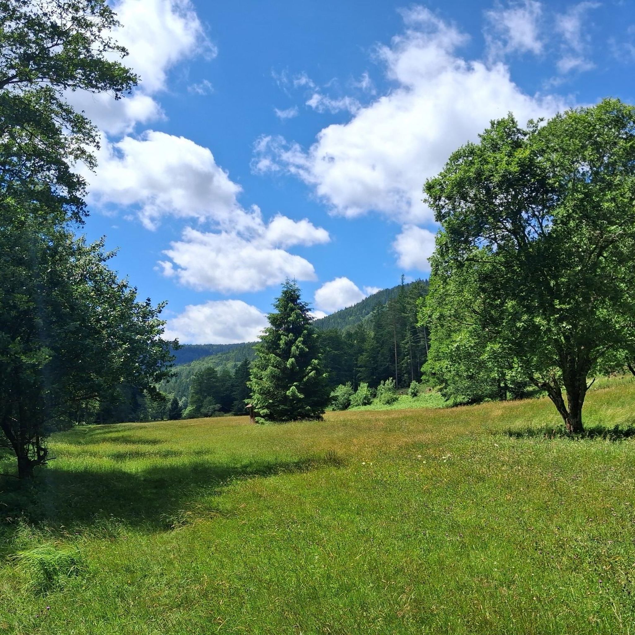
Hiking around Lacajunte offers access to the diverse landscapes of the Landes department in France's Nouvelle-Aquitaine region. The area features varied topography, including expansive forests, rolling hills, and proximity to wetlands. This region is characterized by its mix of pine and oak forests, river valleys, and agricultural lands, providing a range of environments for outdoor activities. The terrain around Lacajunte includes the hilly landscapes of Chalosse, offering both forest paths and elevated viewpoints.
Best hiking trails around Lacajunte
- The most…
Last updated: May 13, 2026
4.3
(4)
13
hikers
6.82km
01:51
90m
90m
Moderate hike. Great for any fitness level. Mostly accessible paths. Sure-footedness required.
4.3
(4)
21
hikers
26.4km
07:18
460m
460m
Hard hike. Very good fitness required. Easily-accessible paths. Suitable for all skill levels.

Sign up for free
9
hikers
Moderate hike. Good fitness required. Easily-accessible paths. Suitable for all skill levels.
4.3
(3)
16
hikers
24.5km
07:00
580m
580m
Hard hike. Very good fitness required. Easily-accessible paths. Suitable for all skill levels.
2
hikers
12.9km
03:35
250m
250m
Moderate hike. Good fitness required. Easily-accessible paths. Suitable for all skill levels.
Get access to more routes and recommendations from other explorers.
Sign up for free
Already have an account?
Our route recommendations are based on thousands of hikes, rides, and runs completed by other people on komoot.
Start today with a free account
Your next adventure awaits.
Login or Signup



Tips from the Community

An old manor house in the heart of Béarn, Arzacq-Arraziguet retains the lines of its past with its central square and typical arcades. A short bike ride away, its lake offers a pleasant setting, ideal for a break by the water.
0
0


A picturesque village with a place to stop for refreshments. On a clear day, you can see the Pyrenees from here.
6
0

The church, built in 1955, partially took over the floor plan of an old church ruin that was destroyed shortly after 1952. Stones from the old church could be reused for the current church. In front of the church there are many benches for a rest, and behind the 'mairie' there is also drinking water💦and toilet.
10
0

In Pimbo, the church stands on a hillside in the Gabas valley on the pilgrims’ Jacobean route.
0
0

The text of this funny poster - translated into German by the babelfish program - reads: "Ola, I'm sorry Floreano, but to get to Santiago you have to walk a little longer. I'm full and I've covered more than 910 km."
4
0

super Village where you will find after all for the stage.
0
1

The Church of Saint-Jacques de Sensacq is located in the municipality of Miramont-Sensacq, in the French department of Landes. It is a stage on the Via Podiensis or Route du Puy of the pilgrimage to Santiago de Compostela. This monument has been registered as a historical monument since February 17, 1997[ 1 ] .
7
1
Frequently Asked Questions
How many hiking trails are available around Lacajunte?
There are over 25 hiking trails documented around Lacajunte on komoot, offering a variety of experiences for different skill levels. These routes explore the diverse landscapes of the Landes department.
What kind of landscapes can I expect to see on hikes around Lacajunte?
Hiking around Lacajunte offers a mix of dense woodlands, rolling hills, and agricultural landscapes. You'll encounter expansive pine and oak forests, river valleys, and the distinct hilly terrain of the Chalosse region, providing varied scenery throughout your walk.
Are there easy hiking trails suitable for beginners or casual walkers?
Yes, Lacajunte offers several easy hiking trails. There are 7 routes classified as easy, perfect for those looking for a relaxed stroll through the region's natural beauty without significant elevation changes.
Are there challenging hikes for experienced hikers seeking a longer adventure?
Absolutely. For experienced hikers, there are 5 difficult routes available. One notable challenging option is the Pimbo – Moulin de Louvigny loop from Arzacq-Arraziguet, which is 16.2 miles (26.0 km) long and features significant elevation changes across the hilly Chalosse region.
Are there circular hiking routes available in Lacajunte?
Yes, many of the trails around Lacajunte are circular. For example, the Sensacq Loop is a popular moderate circular trail, and the Compostelle milestone 908km – Moulin de Louvigny loop from Louvigny also offers a circular path through forests and past historical landmarks.
What interesting landmarks or attractions can I see along the hiking trails?
Many trails pass by historical and natural points of interest. You might encounter places like Pimbo, the historic Moulin de Louvigny, or the Saint-Jacques Church of Sensacq. The Compostelle milestone 908km – Moulin de Louvigny loop from Louvigny specifically leads past historical landmarks.
What do other hikers enjoy most about the trails in Lacajunte?
The komoot community highly rates the trails around Lacajunte, with an average score of 4.4 stars from over 25 reviews. Hikers often praise the varied terrain, the peaceful atmosphere of the dense woodlands, and the well-maintained paths that cater to different ability levels.
Are there any trails that offer good views of the region?
Given the rolling hills and the Chalosse region's elevated viewpoints mentioned in the area's description, many trails will offer scenic vistas. Routes that traverse the hilliest parts, such as the Pimbo – Moulin de Louvigny loop from Arzacq-Arraziguet, are likely to provide expansive views over the surrounding agricultural lands and forests.
Are the hiking trails around Lacajunte suitable for families?
Yes, with 7 easy routes available, many trails are suitable for families looking for a pleasant outdoor experience. These easier paths typically have gentler gradients and shorter distances, making them ideal for all ages.
What is the best time of year to go hiking in Lacajunte?
The region's climate generally allows for hiking throughout much of the year. Spring and autumn offer pleasant temperatures and vibrant natural colors, while summer can be warm, making early morning or late afternoon hikes preferable. Winter hikes are also possible, though conditions may vary.
Are there any trails that pass by or near a pub or restaurant?
While specific pub-to-trail information isn't detailed for every route, the region is known for its charming villages. Exploring routes that start or end in communities like Arzacq-Arraziguet or Louvigny, such as the Compostelle milestone 908km – Moulin de Louvigny loop from Arzacq-Arraziguet, often provides opportunities to find local eateries nearby.
Is parking available at the trailheads?
Most trailheads in rural areas like Lacajunte typically offer some form of parking, often in village centers or designated areas near popular starting points. It's advisable to check specific route details on komoot for precise parking information for your chosen trail.
Most popular attractions around Lacajunte

Get inspired with the komoot mobile app


Explore more
Browse the best Hikes in other regions.
