The best cycling routes around Grignon
4.6
(154)
4,601
riders
126
rides
Touring cycling around Grignon, located in the Savoie region of Auvergne-Rhône-Alpes, offers diverse landscapes for cyclists. The area features extensive forests, such as the Forêt de Rhonne, and rolling hills that provide varied terrain. Routes often traverse agricultural lands and can include sections near vineyards, characteristic of the broader region. The terrain ranges from gentle gradients along valley floors to more challenging climbs in the foothills of the nearby Parc naturel régional du massif des Bauges.
Best touring cycling routes…
Last updated: July 2, 2026
5.0
(1)
70
riders
33.8km
02:46
1,000m
1,000m
Hard bike ride. Very good fitness required. Mostly paved surfaces. Suitable for all skill levels.
5.0
(1)
32
riders
38.0km
03:23
1,110m
1,110m
Hard bike ride. Very good fitness required. You may need to push your bike for some segments of this route.

Sign up for free
5.0
(1)
15
riders
21.5km
02:13
630m
630m
Hard bike ride. Very good fitness required. Mostly paved surfaces. Suitable for all skill levels.
11
riders
24.4km
01:59
310m
300m
Hard bike ride. Good fitness required. You may need to push your bike for some segments of this route.
5
riders
15.4km
00:55
60m
60m
Easy bike ride. Great for any fitness level. Mostly paved surfaces. Suitable for all skill levels.
Get access to more routes and recommendations from other explorers.
Sign up for free
Already have an account?
Our route recommendations are based on thousands of hikes, rides, and runs completed by other people on komoot.
Start today with a free account
Your next adventure awaits.
Login or Signup



Tips from the Community

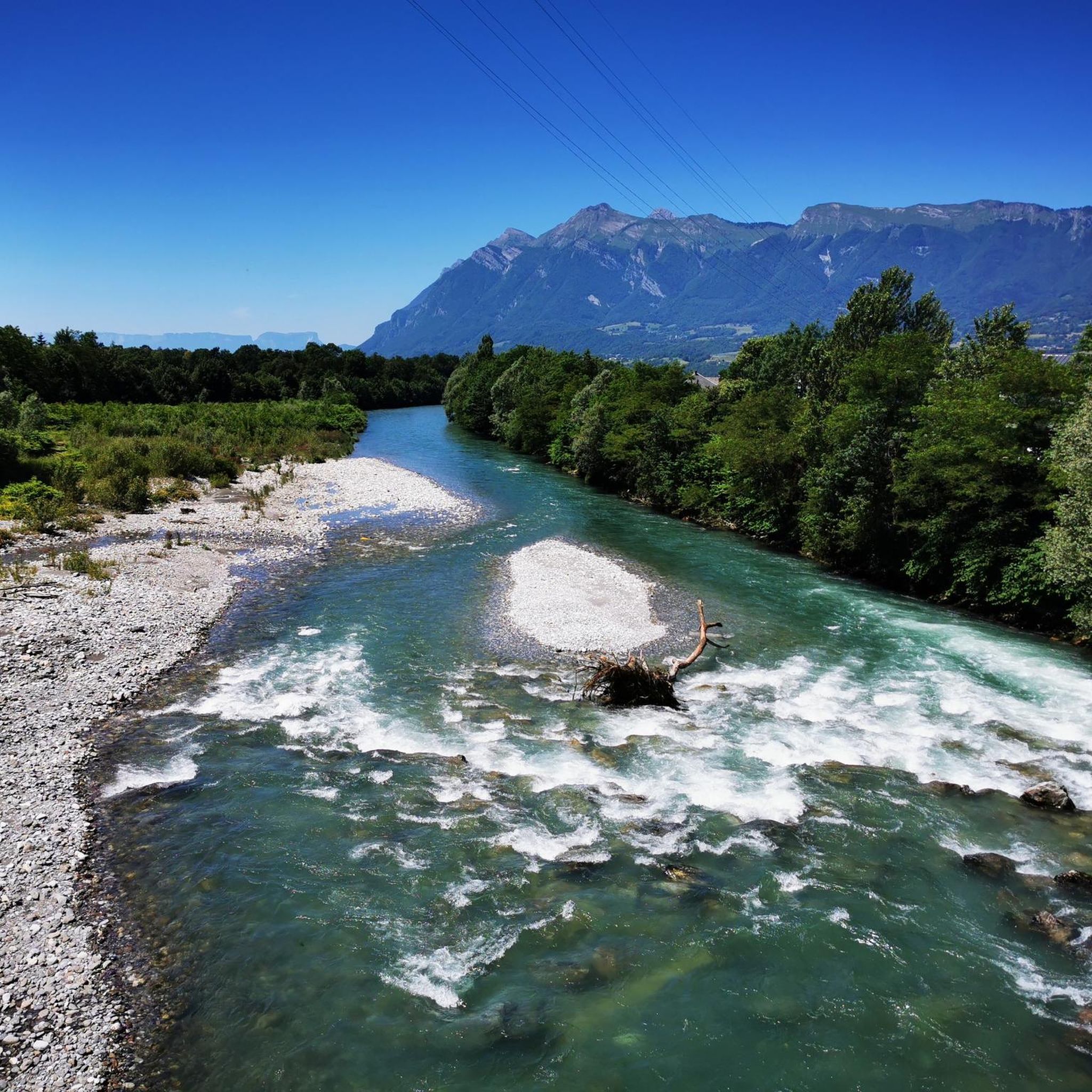
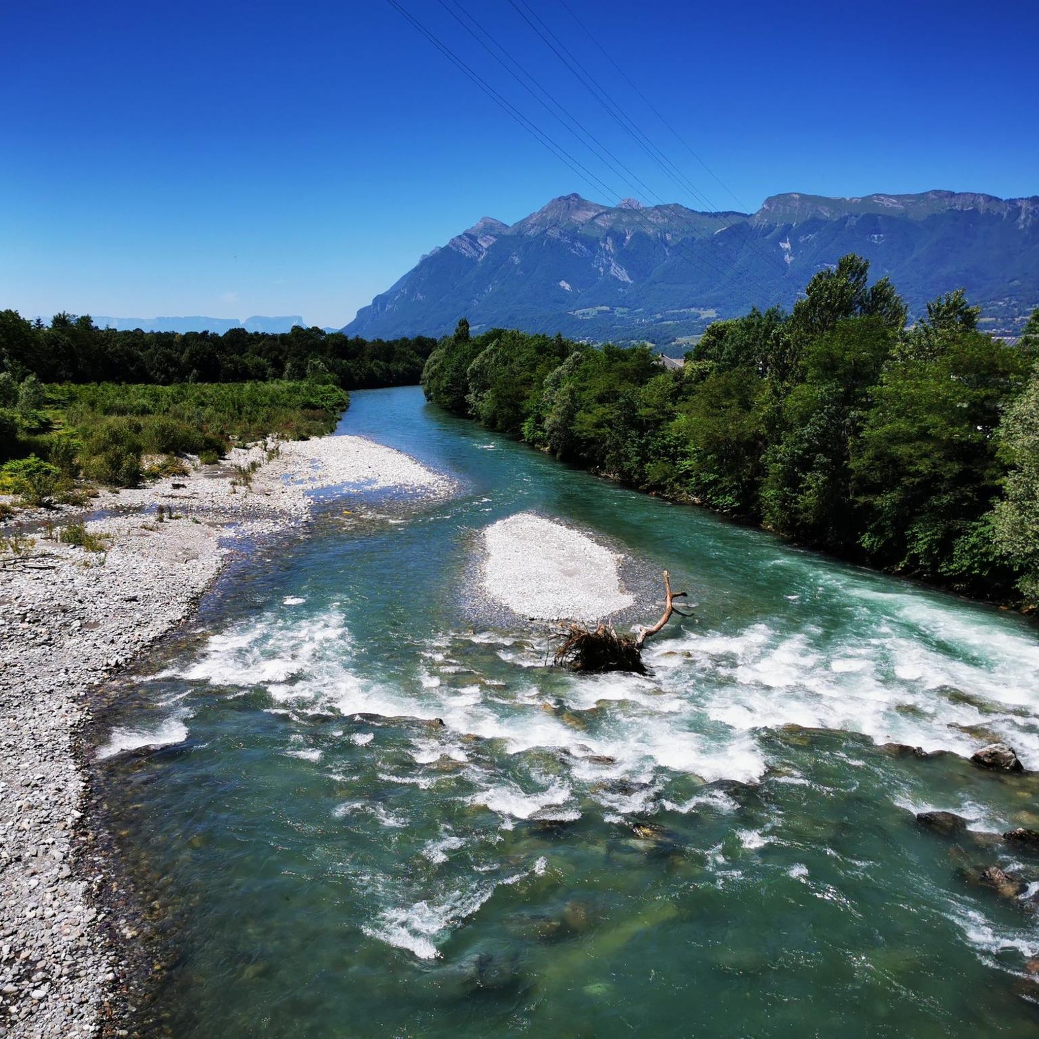
Beautiful cycle path along the Isere.
2
0
Beautiful old town of Albertville.
2
0
beautiful church on the edge of the old town of Albertville
2
0

To the cycle tourist who invented his own pass.
0
0


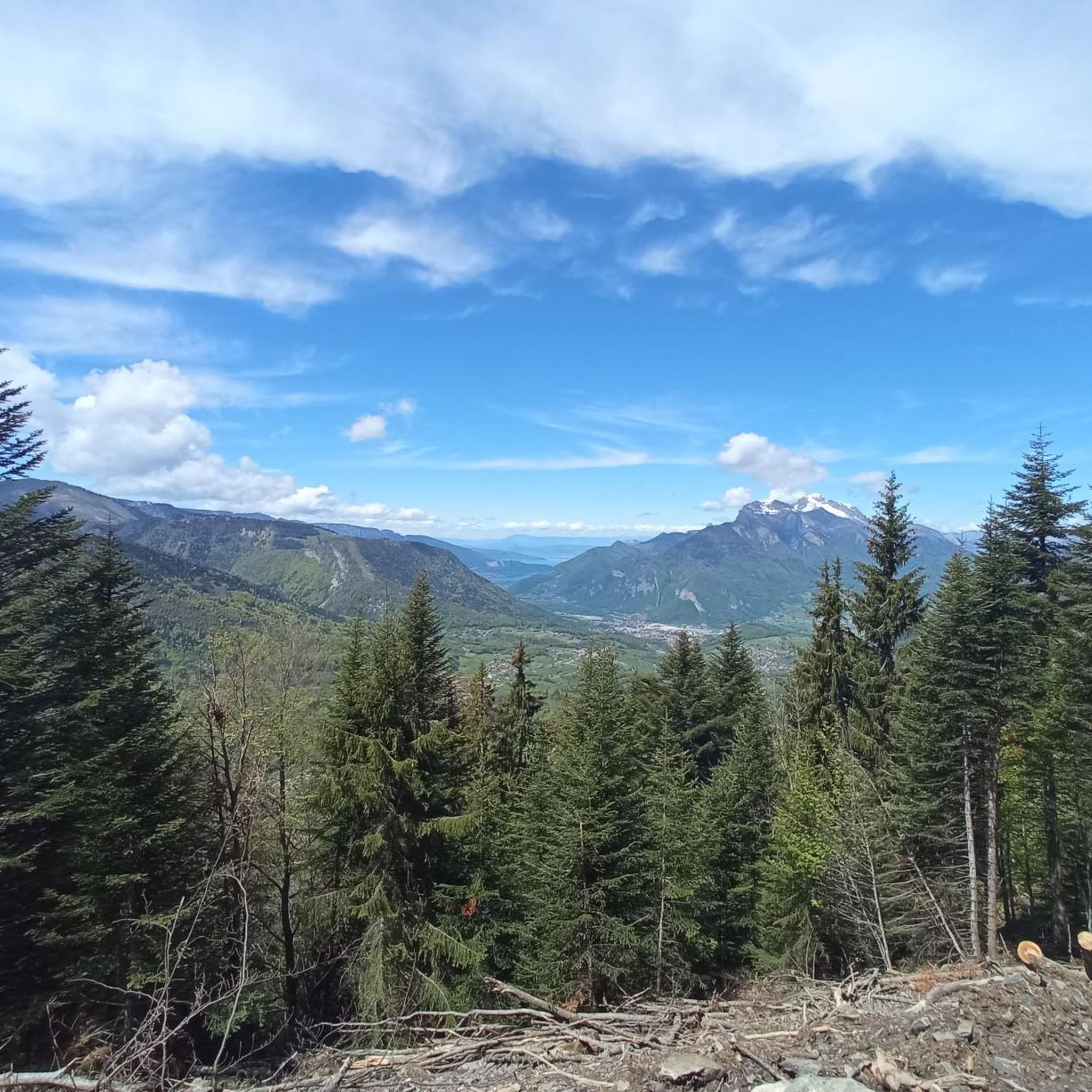
The descent to Queige is gravelly+++, a really not great surface but compensated by a superb view of Mont Blanc
1
0

Pass on a quiet road, very few cars. Not a great surface. The average slope is 7.6% with sections at 13%. No clear view at the top but a small stele dedicated to the creator of this pass. To do if you want to do some elevation gain.
0
0

Easy outing at the beginning with a trace on the cycle path then alternating rolling path, Rhone forest and Conflans climb to finish. Avoid on a rainy day, it quickly gets greasy!
0
0
Frequently Asked Questions
How many touring cycling routes are available around Grignon?
There are over 130 touring cycling routes around Grignon. These routes offer a diverse range of experiences, from easy rides to more challenging ascents, catering to various skill levels.
What kind of terrain can I expect on touring cycling routes near Grignon?
The terrain around Grignon is quite varied. You'll find routes traversing extensive forests like the Forêt de Rhonne, rolling hills, and agricultural lands. Some sections may lead through vineyards, characteristic of the broader region. The gradients range from gentle along valley floors to more challenging climbs in the foothills of the nearby Parc naturel régional du massif des Bauges.
Are there any easy touring cycling routes suitable for beginners or families?
Yes, Grignon offers several easy touring cycling routes. A popular choice is the Grignon Lake loop from Grignon, which is an easy 18.6-mile (29.9 km) path with minimal elevation changes, perfect for a relaxed ride with picturesque views around the lake.
What are some challenging touring cycling routes for experienced riders?
For experienced cyclists seeking a challenge, routes with significant elevation gain are available. The Conflans – Fort du Mont loop from Grignon is a difficult 38.5-kilometer (23.9 miles) route featuring over 1,100 meters of ascent, offering a demanding yet rewarding experience.
Can I find circular touring cycling routes in the Grignon area?
Yes, many touring cycling routes around Grignon are designed as loops, allowing you to start and end at the same point. An example is the Tamié Pass – Tamié Pass (907 m) loop from Gilly-sur-Isère, a 12.6-mile (20.4 km) trail through hilly terrain.
What natural features or landmarks can I see along the touring cycling routes?
Cycling routes around Grignon offer views of diverse natural features and landmarks. You might encounter extensive forests, vineyards, and rivers. Notable natural highlights include peaks like La Belle-Étoile and Petite Sambuy. The broader region also features charming villages and historic sites like the Medieval City of Conflans.
Are there any specific viewpoints or scenic spots on the touring cycling routes?
Yes, the region offers rewarding viewpoints, especially on routes that climb into the hills. The Tamié Pass is a well-known scenic spot, and routes often provide panoramic views of the surrounding landscapes, including the Parc naturel régional du massif des Bauges. You can also find a View of Mont Charvin along some trails.
What is the best time of year for touring cycling in Grignon?
The best time for touring cycling in Grignon is generally from spring through autumn. During these seasons, the weather is typically mild and pleasant, making for ideal cycling conditions. Spring brings blooming landscapes, while autumn offers beautiful foliage, especially in the forested and vineyard areas.
Are there options for parking near the touring cycling trailheads?
Yes, many touring cycling routes around Grignon start from towns or villages that offer public parking facilities. For specific routes, it's advisable to check the route details on komoot for information on recommended starting points and parking availability.
What do other touring cyclists enjoy the most about touring cycling in Grignon?
The touring cycling routes in Grignon are highly rated by the komoot community, with an average score of 4.6 stars. Reviewers often praise the diverse landscapes, the mix of challenging climbs and gentle paths, and the opportunity to explore both natural beauty and charming villages. The variety of routes ensures there's something for every skill level.
Can I combine touring cycling with visits to cultural or historical sites?
Absolutely. The region around Grignon is rich in history and culture. Cycling routes often pass through or near charming villages and historic sites. For example, the broader Savoie region features attractions like the Medieval City of Conflans and Tamie Fort, which can be integrated into your cycling tours.
Are there any routes that follow rivers or canals?
While specific canal routes like the Canal du Centre are found in the broader Burgundy region, the concept of serene paths along waterways is relevant. The area around Grignon does feature rivers like the Isère, and you can find a Nice bike path along the Isère, offering pleasant rides with minimal elevation.
Most popular attractions around Grignon

Get inspired with the komoot mobile app


Explore more
Browse the best Cycling routes in other regions.
