Top 11 Mountain Passes around Verrens-Arvey
Best mountain passes around Verrens-Arvey are situated in the Savoie department, within the Bauges Massif. This region is characterized by its mountainous terrain and offers various routes through natural landscapes. The area provides access to passes that connect different valleys, such as the Savoie and Albertville valleys with the Faverges valley and Lake Annecy. These passes are notable for their geographic positions and the activities they support.
Best mountain passes around Verrens-Arvey
- The most popular mountain passes is Tamié Pass…
Last updated: June 26, 2026
Tamié Pass
Highlight • Mountain Pass
Translated by Google •
Tip by

Chérel Pass
Highlight • Mountain Pass
Translated by Google •
Tip by

Sign up now to discover places like this
Get recommendations on the best single tracks, peaks, & plenty of other exciting outdoor places.
Sign up for free
Ascent of the Col de la Forclaz de Montmin from Vésonne
Highlight (Segment) • Climb
Translated by Google •
Tip by

Chérel Pass via the Combe d'Ire
Highlight • Mountain Pass
Translated by Google •
Tip by

Golet de Doucy
Highlight • Mountain Pass
Translated by Google •
Tip by
Sign up for free to discover even more mountain passes around Verrens-Arvey.
Sign up for free
Already have an account?
Start today with a free account
Your next adventure awaits.
Login or Signup
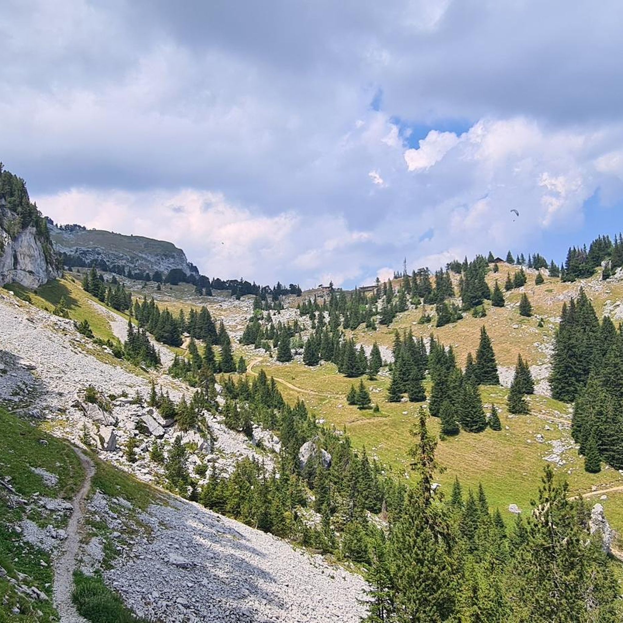
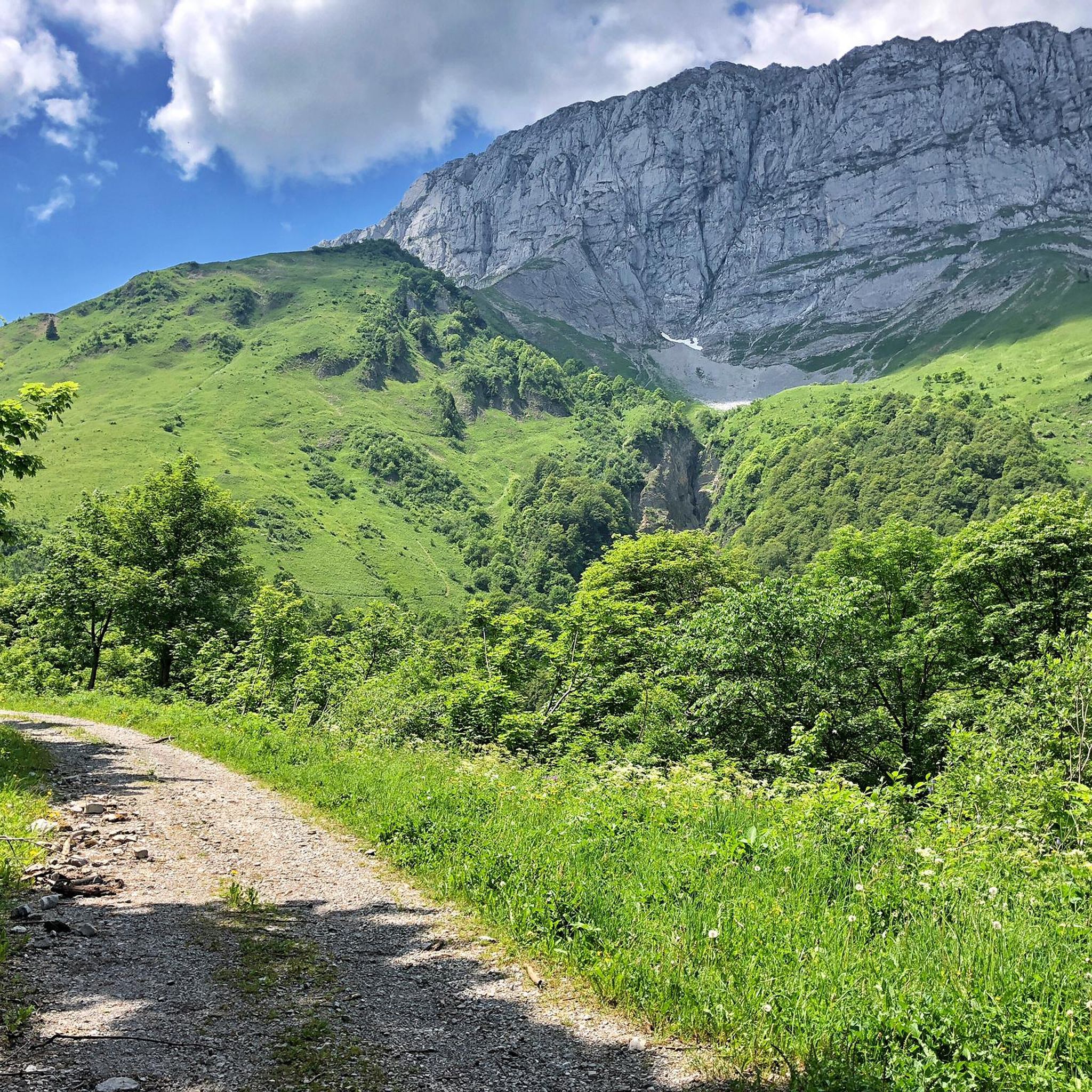
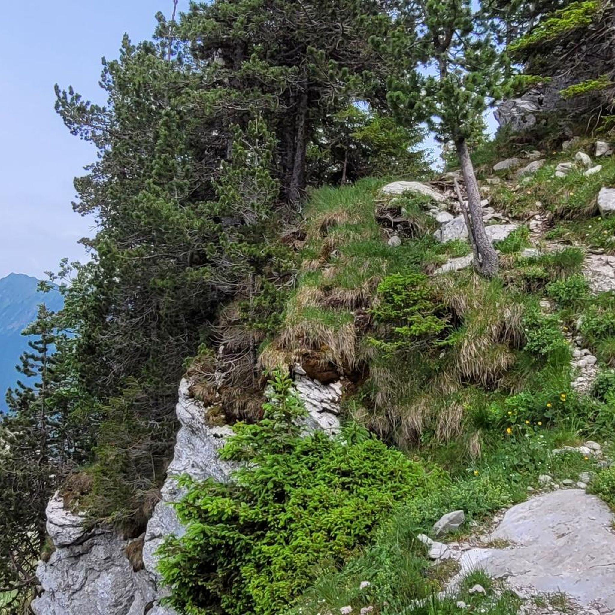

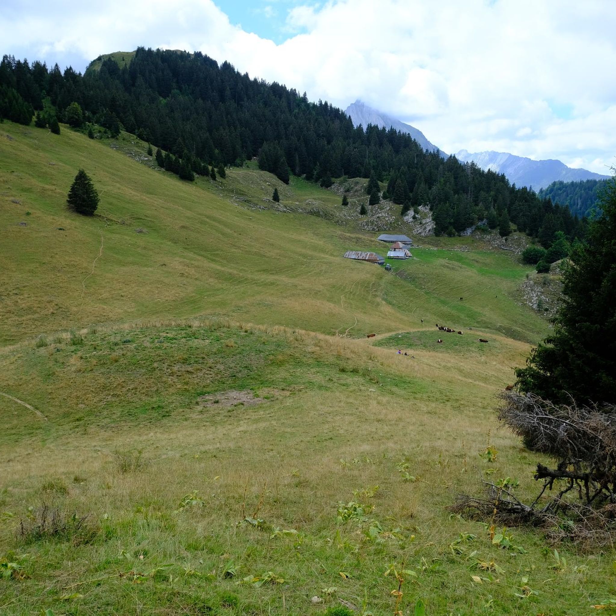

Tips from the Community

Here is the route for the ascent of the Col de la Forclaz starting from Vesonne
1
0

Long climb or long descent, it depends... Personally, I prefer to climb up the other side and descend through the Ire-Chevaline valley.
0
0
one of the gravel sections from Bauges to Annecy. Passes without any problem!
1
0

Very smooth, very good on mountain bikes and should do the job on gravel.
1
0

beautiful view and water point
0
0

A hill with a lot of traffic, better on roads that run parallel.
0
0
Beautiful mountain pass in the Bauges Massif on its very hard southern side with continuous gradients of 14% and a very broken track, recommended for mountain biking. Its northern side is easier but with gravel you may not be able to go down the south side well.
0
1

Located at an altitude of 907 meters, this pass is located in the Bauges massif, in the town of Plancherine. It separates the valley of Savoie and Albertville from the Faverges valley and Lake Annecy.
2
0
Frequently Asked Questions
Which mountain passes are most popular around Verrens-Arvey?
The most popular mountain pass in the area is Tamié Pass, located at 907 meters in the Bauges massif. Other well-regarded passes include Chérel Pass, known for its imposing peaks at 1,495 meters, and Golet de Doucy, a scenic pass at 1,329 meters between Charbon and Julioz mountains.
What historical and cultural sites can I visit near the mountain passes?
Near Tamié Pass, you can explore the historic Abbey of Tamié, a Cistercian monastery founded in 1132. While public tours of the monastery are not available, visitors can attend religious services and learn about its history at the Saint-Pierre de Tarentaise visitor center. The abbey is also famous for its traditional Tamié cheese. Additionally, the Fort de Tamié, a late 19th-century stronghold, offers panoramic views and insights into military history.
Are there family-friendly activities available at the mountain passes?
Yes, the Fort de Tamié, located above Tamié Pass, is an excellent family destination. It features 16 hectares of landscaped grounds, botanical paths, and hiking trails. For more active fun, the Acrofort adventure park within the fort offers various courses, including a 300-meter zip line, along with a children's playground equipped with trampolines and inflatable games.
What natural features and viewpoints can I expect to see?
The mountain passes around Verrens-Arvey offer superb scenery of the Bauges Mountains. From Tamié Pass, you can enjoy views of the surrounding valleys. The Fort de Tamié provides panoramic vistas, including distant views of Mont Blanc and the Combe de Savoie. Golet de Doucy is known for its forest trails and scenic views between the Charbon and Julioz mountains.
What outdoor activities are popular near these mountain passes?
The area is popular for cycling and hiking. Tamié Pass is a favorite among cyclists due to its gentle ascent. For hiking, you can find various trails around the passes. If you're looking for more specific routes, explore the Mountain Hikes around Verrens-Arvey or the MTB Trails around Verrens-Arvey guides for detailed options.
Are there challenging cycling routes over the mountain passes?
Yes, while the climb to Tamié Pass is considered gentle, the overall cycling route, especially when starting from Annecy or Albertville, can be challenging due to its length and varied terrain, making it attractive for experienced cyclists. The Ascent of the Col de la Forclaz de Montmin from Vésonne is also noted for its challenging climb towards Montmin.
What kind of hiking trails are available near Verrens-Arvey's mountain passes?
You'll find a range of hiking trails, from botanical paths at the Fort de Tamié to forest trails around Golet de Doucy. For more extensive options, the Mountain Hikes around Verrens-Arvey guide features routes like the 'Mountain Cow loop from Seythenex' (moderate) and more difficult ascents such as 'Mont Trélod (2,181 m) loop from Doucy-en-Bauges'.
Where can I find food and refreshments near the mountain passes?
At the top of Tamié Pass, you can find local restaurants such as L'Auberge du Col de Tamié and Chalet des Trappeurs. Don't forget to visit the Abbey of Tamié's shop for their famous Tamié cheese, or check out Glaces & Cows, a farm producing boutique ice cream nearby.
What is the best time to visit the mountain passes around Verrens-Arvey?
While specific seasonal information isn't provided, mountain passes in this region are generally best visited during the warmer months, typically from late spring to early autumn. This period offers the most favorable weather conditions for cycling, hiking, and enjoying the outdoor attractions like the Fort de Tamié.
Are there any specific regulations or permits needed for hiking or cycling?
There is no mention of specific permits required for general hiking or cycling on the mountain passes. The Fort de Tamié is open to visitors free of charge. However, it's always advisable to check local signage for any specific regulations, especially concerning protected natural areas or private land.
What makes <a href="https://www.komoot.com/highlight/3770198" target="_blank" rel="noopener">Chérel Pass</a> a unique destination?
Chérel Pass, at 1,495 meters, is known for being surrounded by imposing peaks and separating the Arcalod and Trélod mountain chains. It offers incredible tracks, particularly for mountain biking or gravel cycling, with some sections being more technical but rewarding with beautiful views. It's a popular choice for those seeking a more rugged outdoor experience.
Most popular routes around Verrens-Arvey
Most popular attractions around Verrens-Arvey

Get inspired with the komoot mobile app


Explore more
See even more epic mountain passes by checking out these guides around Verrens-Arvey:
